- Brief description
-
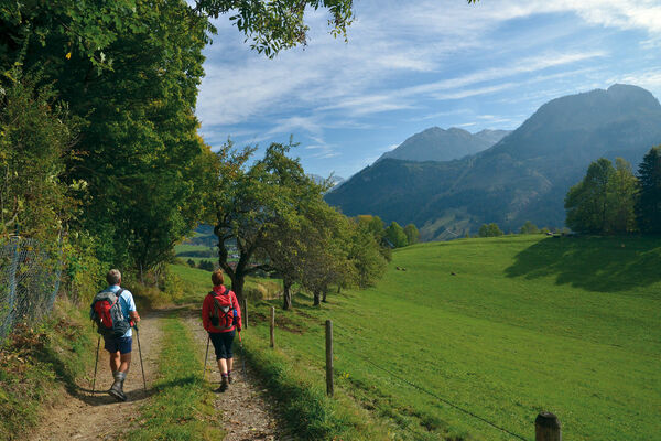
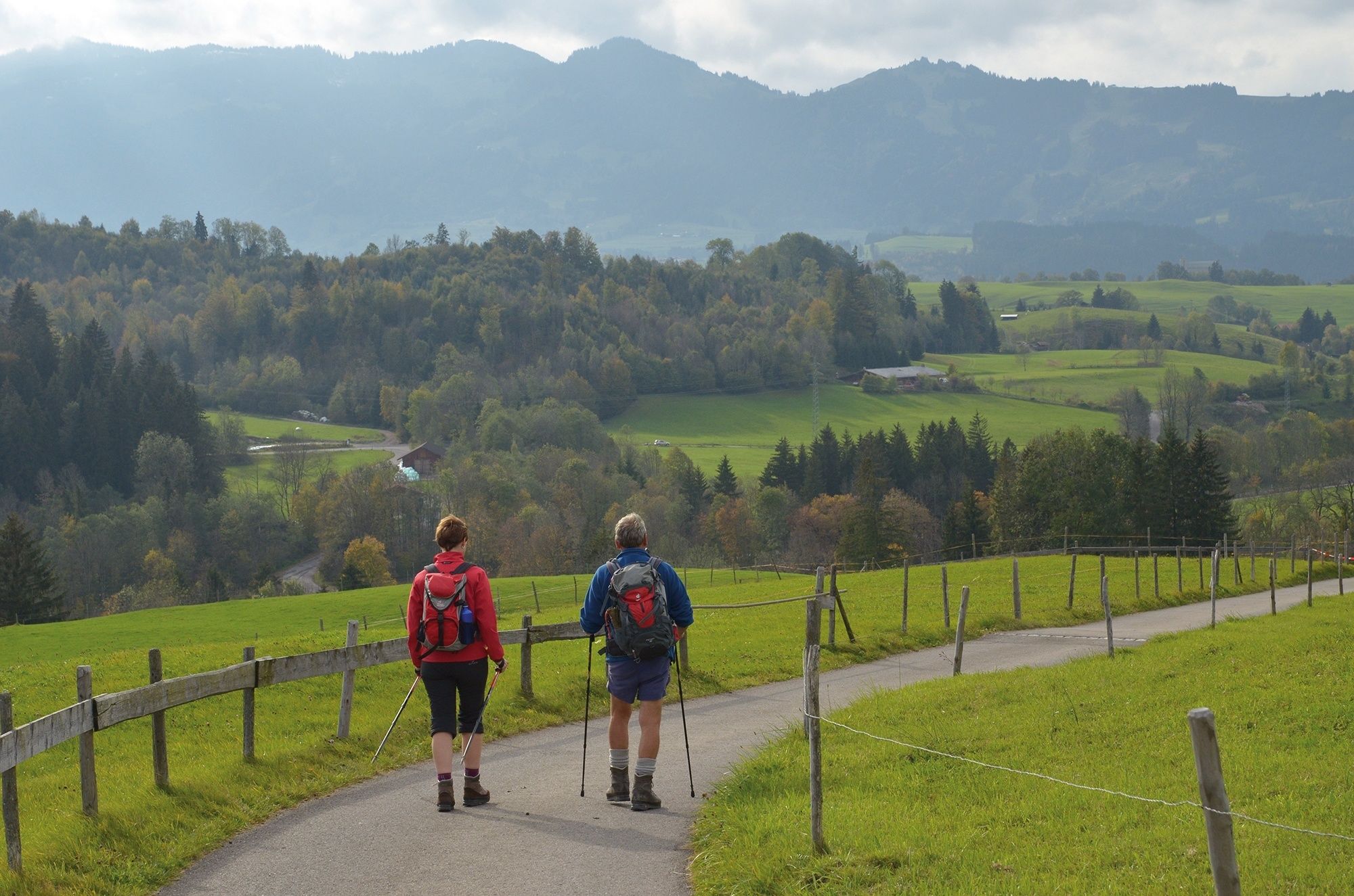
An enchanting end to the pilgrimage with wonderful lake and mountain views, magnificent old farmhouses and many art-historical surprises.
- Difficulty
-
medium
- Rating
-
- Starting point
-
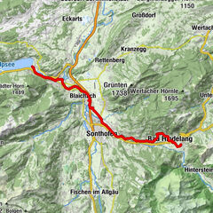
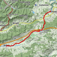
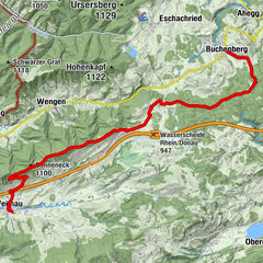
Immenstadt - Bühl
- Route
-
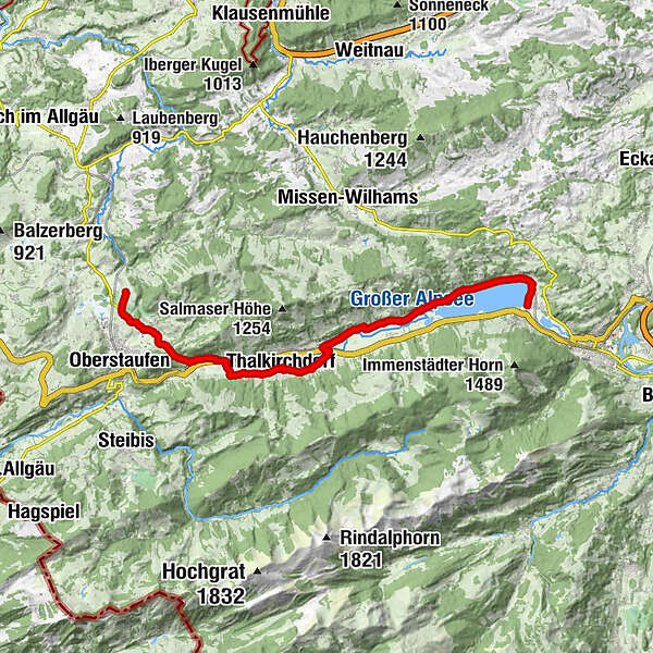
Bühl a.AlpseeTrieblings3.3 kmKonstanzer8.3 kmSt. Jakobus8.5 kmOsterdorf9.0 kmSt. Johannes Baptist10.1 kmThalkirchdorf10.2 kmDorfhaus10.2 kmSt. Georg12.9 kmKnechtenhofen13.2 kmWengen14.1 kmSt. Maria Immaculata15.3 kmKalzhofen15.3 kmBuflings16.5 kmZell17.0 km
- Best season
-
JanFebMarAprMayJunJulAugSepOctNovDec
- Description
-
The Tyrol-Allgaeu Way of St James
This Alpine Route of St. James, which is both scenically and culturally very attractive, leads off the main roads over three Alpine passes, namely the Fernpass, the old Gaichtpass and the Jochpass. It crosses some of the most attractive hiking and holiday regions of Tyrol and southern Upper Allgäu on ancient Roman, trade and pilgrim paths.
The pilgrims to St. James can undoubtedly look forward to a particularly impressive route here. All the more so, as it mostly leads through rural, tranquil mountain regions, where people have been deeply influenced by faith and fear of the forces of nature for centuries. These regions are therefore particularly rich in churches and chapels with numerous art-historical gems, often from very different eras. In combination with the magnificent panoramic views, the constantly changing perspectives and the meditative, but now and then strenuous hiking in wind and weather through these alpine natural landscapes, this "camino" becomes an unforgettable path that demands all the senses, rich in intense experiences, encounters, experiential and perhaps also new insights about oneself.
Integration into the Jakobwegenetz of Austria and Germany
The Tyrol-Allgaeu Way of St. James connects in Stams to the German-Austrian Way of St. James from Munich along the Isar, Loisach, Leutascher Ache and Inn rivers, as well as to the two Austrian ways of St. James which unite in Innsbruck: the route from Lofer/Salzburg to Innsbruck and the route from Lienz to Innsbruck. From Innsbruck, this bundled stream of St. James' Way leads on via Stams to the Arlberg or even from Stams on the Tyrol-Allgaeu route.
Pilgrim's stamp and pilgrim's identity card
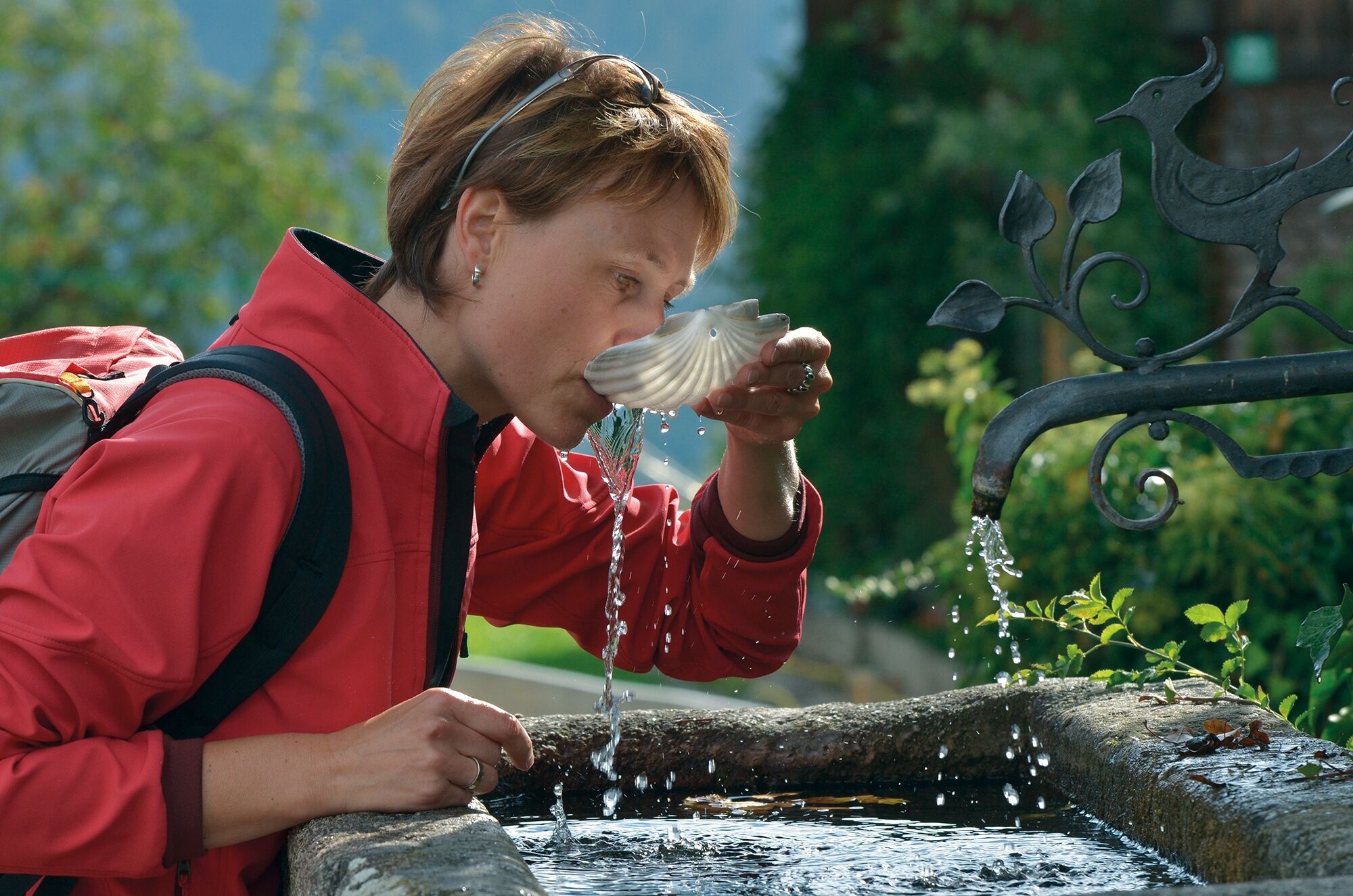
In the chapels of St. James and in the churches mentioned in the text there are stamped places along the St. James' Way. These pilgrim's stamps are nice memories in your own pilgrim's diary. In the intrnat. recognised pilgrim's identity card they serve as proof of the route completed. As an official document, the pilgrim's identity card also enables the pilgrim to stay overnight in special pilgrim accommodation, of which there are still few on this route. It can be obtained from the St. James pilgrim associations for a processing fee.
- Directions
-
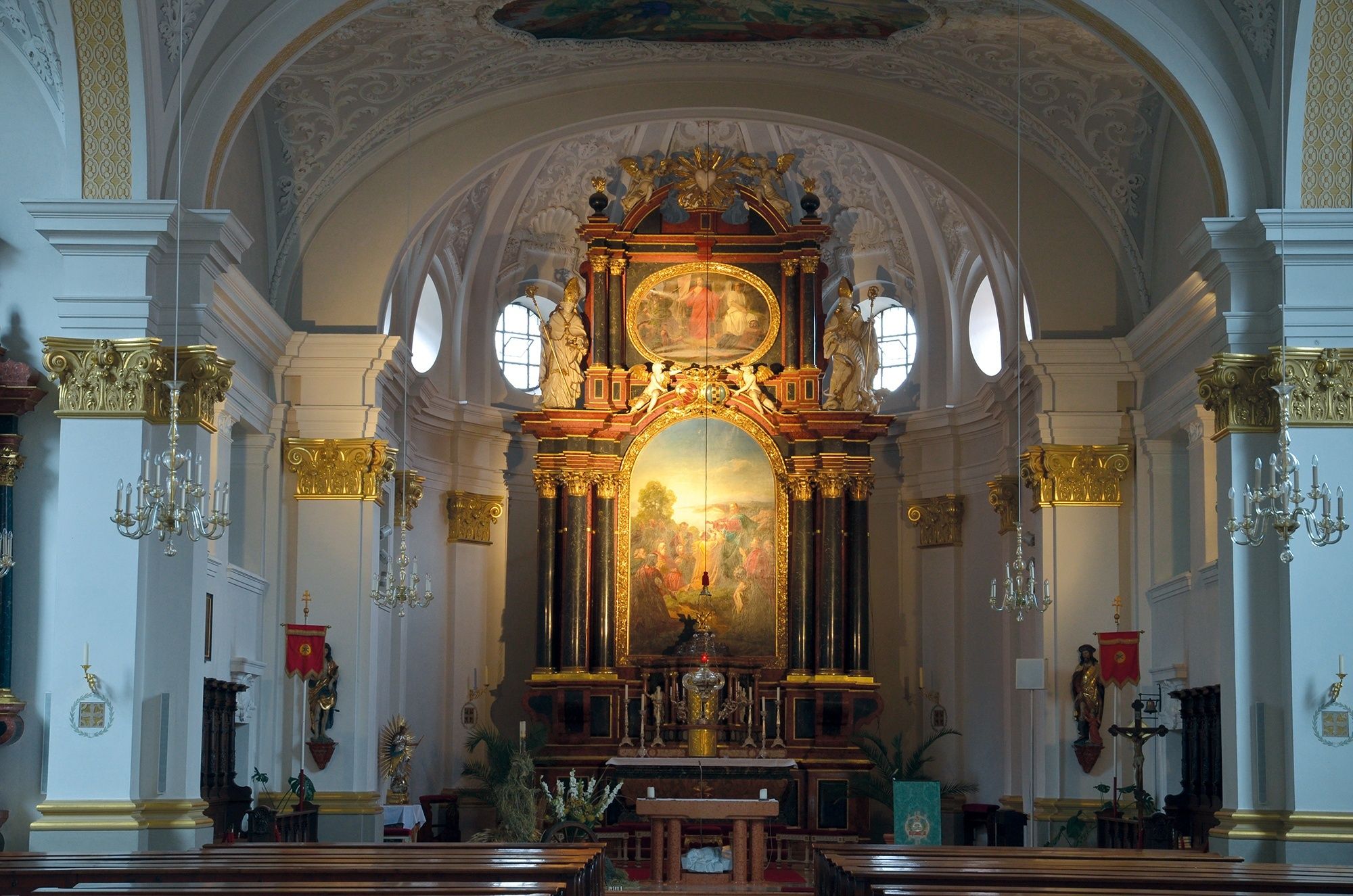
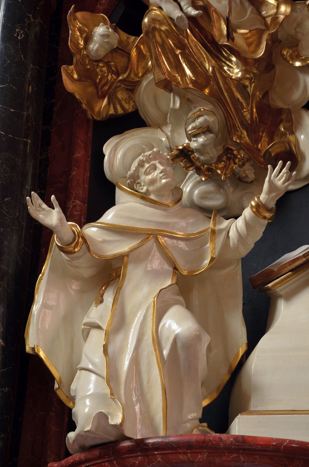
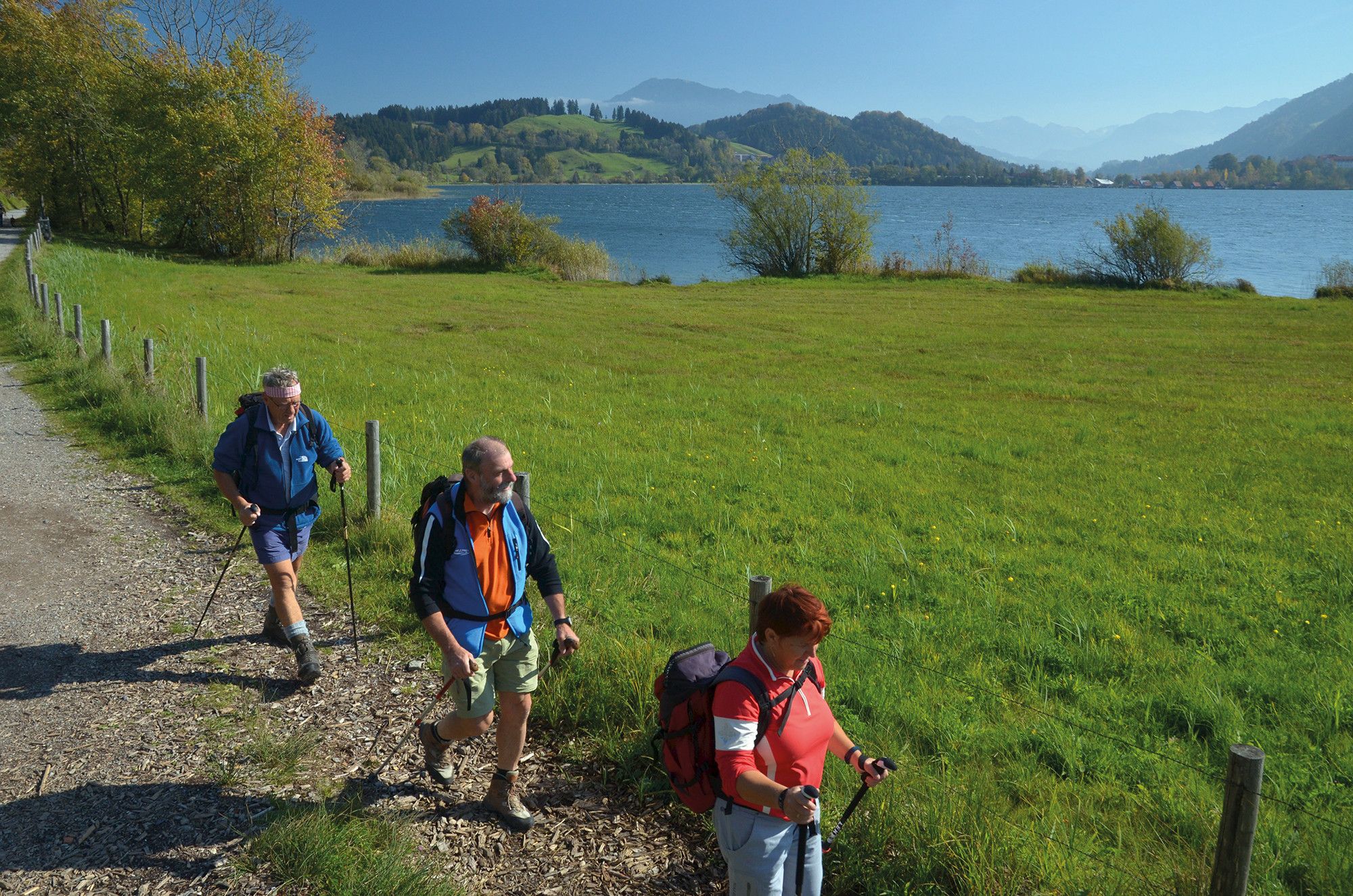
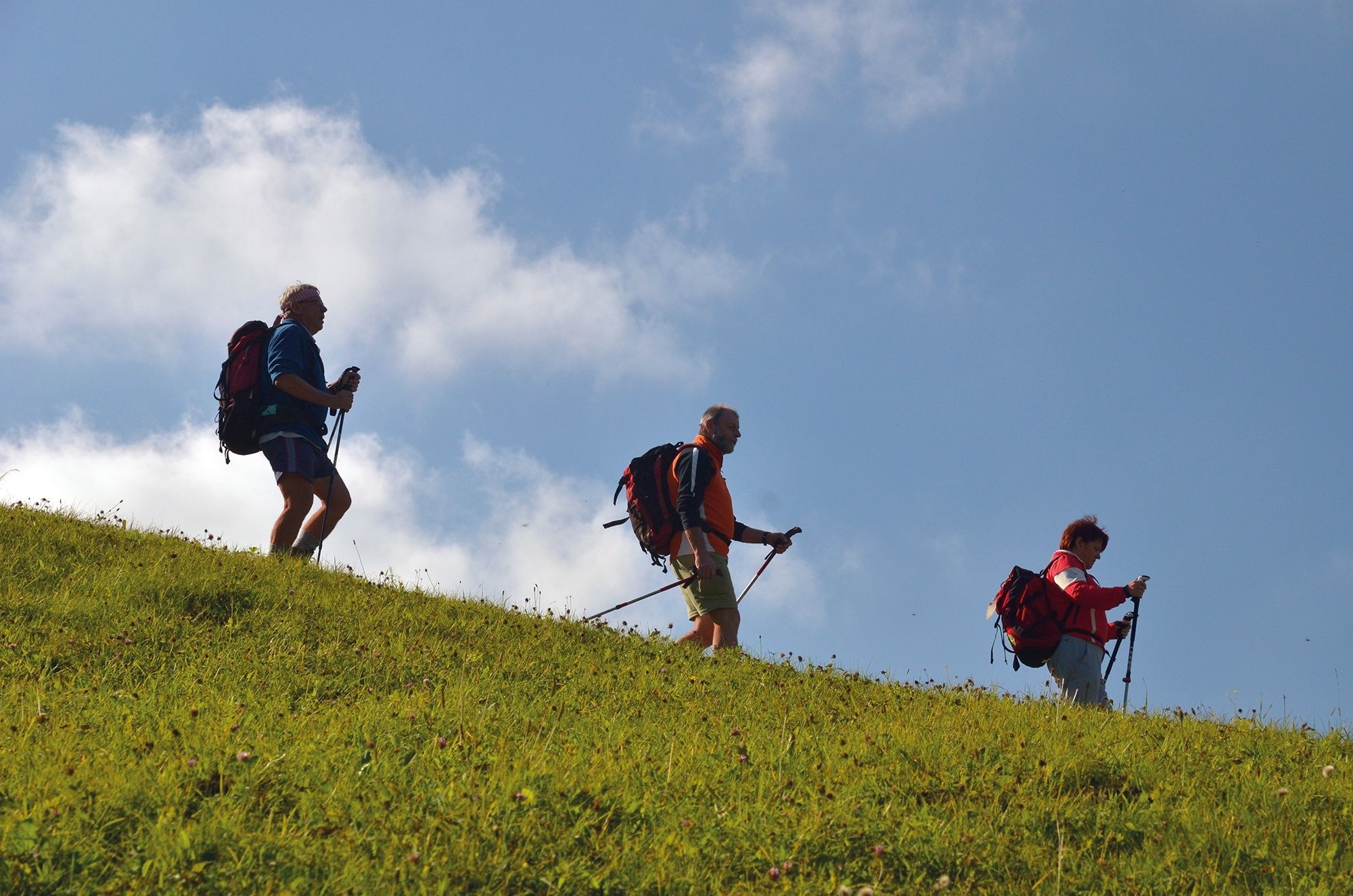
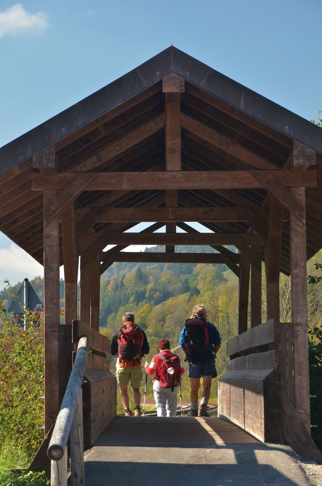
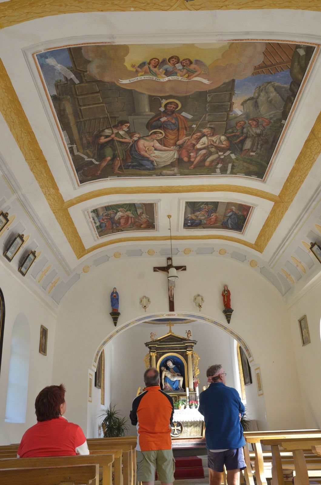
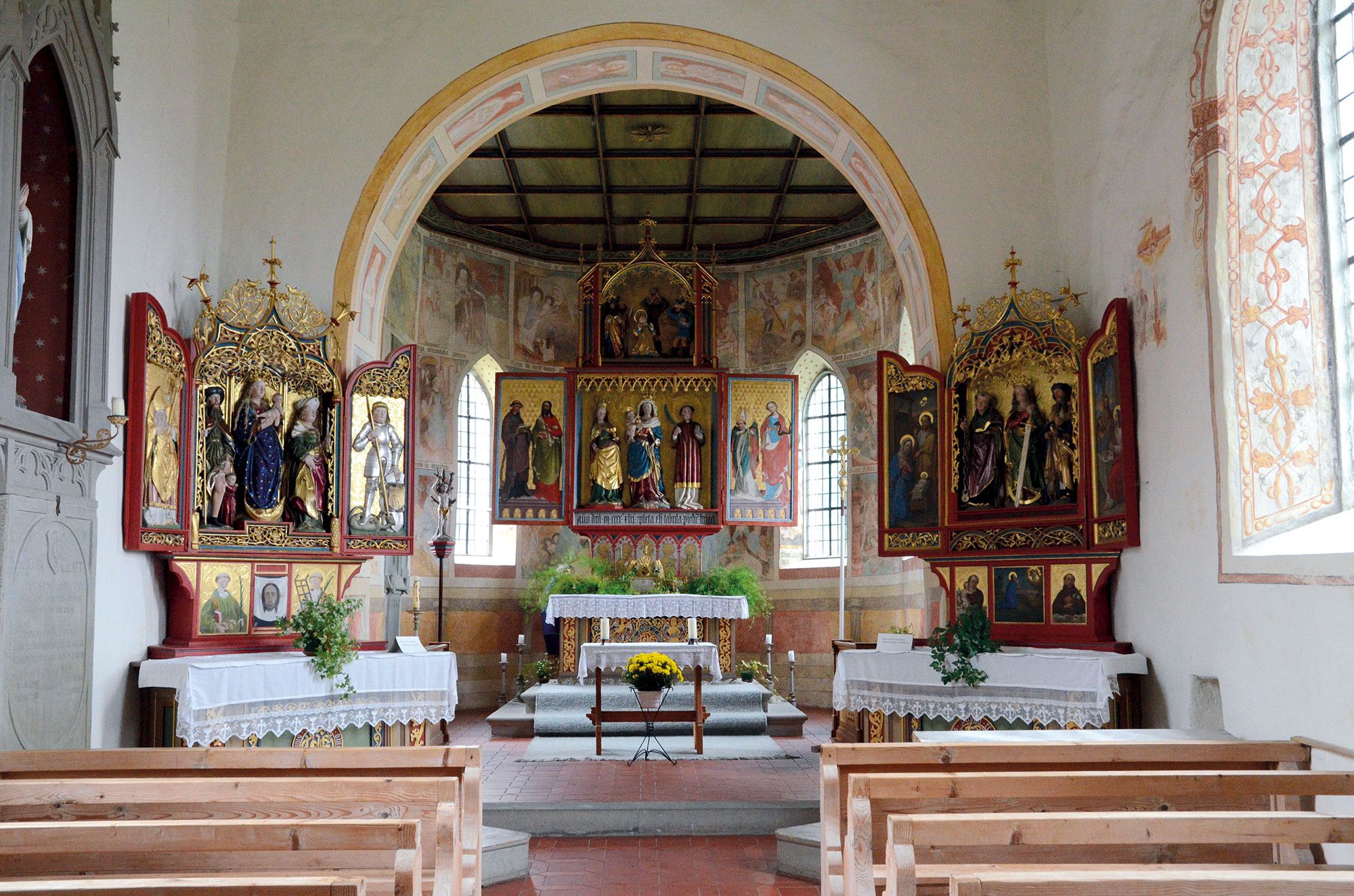
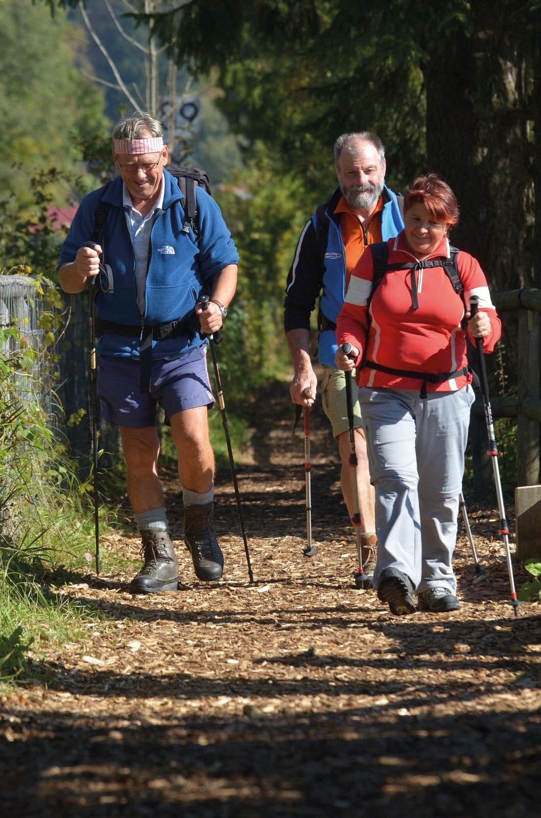
From the AlpSeeHaus you can reach the lakeside hiking trail, which is pleasant to walk along even when wet, thanks to its woodchip coating. It leads along the shore below Trieblings to the end of the lake and to the Moosweg. Shortly before Ratholz and Bleichgut you cross the railway tracks and continue along the small road until shortly before Wiedemannsdorf, where you turn left off the quiet, beautiful salt road with its magnificent houses to Konstanzer. There you will find a chapel with the patron saint St. James the Younger. Since 1755, relics of him and the apostle Philip are said to have been kept here. Both apostles are depicted on the side walls. The parish church of St. John the Baptist in the neighbouring Thalkirch village is also worth a visit for its extraordinary art treasures, including a late Gothic sacramental niche (around 1500), a life-size Madonna figure (around 1440) and three bells from the 16th century. From Thalkirchdorf you walk past the Schwandlift and through the Konstanz valley to the next crossroads, where you turn right towards Knechtenhofen and thus, between Salmas and Knechtenhofen, back to the Salt Road and the Way of St. James beyond the B308. After Knechtenhofen you come to a fork in the forest. The Route of St. James descends to the right through the grounds of the Wengen Industrial Park with the post office and railway mini-station to the OA1. On its sidewalk turn right towards Buflings, past the pottery, cheese dairy and the Wengen inn. There is a quieter, shadier alternative: At the fork in the road in front of the business park, go straight ahead over a narrow bridge (road tunnel) into the "Bärengrube" (bear pit) in the forest on the other side of the OA1. Halfway up, you cross the slope to the right until you reach the road to Oberstaufen, where, turning right, you reach the junction with the OA1 and thus the pilgrims' path. Well marked, it continues via Buflings to Zell, a hamlet with the chapel of St. Bartholomew (stamped), which was already mentioned in a document in 817. The Gothic building (14th century) was restored in 2012. The medieval frescoes, like the main altar, are probably by Hans (Johann) Strigel the Elder. From Memmingen, some figures of the right side altar from the workshop of Ivo Strigel. Behind the main altar is a confessional - with the pilgrim's stamp. The Way of St. James Tyrol-Allgaeu flows here into the St. James Route from Augsburg or Munich to Lindau. Usually faster than by bus from Buflings, you can reach Oberstaufen on foot.
- Highest point
- 838 m
- Endpoint
-
Oberstaufen - Zell
- Height profile
-
 © outdooractive.com
 - Equipment
-
The personal pilgrim's equipment must be safe and serviceable and must meet the relevant technical standards. The rucksack should not exceed the weight of 15 kg. Every pilgrim is recommended to inform and prepare himself in detail in technical literature or on the Internet.
- Safety instructions
-
It should be noted that there is an increased risk of accidents and injuries on pilgrim paths. Despite careful route planning, a basic risk always remains. Tour preparation through endurance sports, appropriate technical training and mental preparation reduces the risk of accidents and injuries. But please never forget that the weather in the mountains can change very quickly.
- Tips
-
Wiedemannsdorf: Handwebtenne. Thalkirchdorf: Restaurant and cheese dairy in the village house or historic Gasthof Traube. Chapel Maria Immaculata in Kalzhofen. Knechtenhofen: farmhouse museum. One refreshment stop in Kalzhofen, several in Buflings, none in Zell.
- Directions
-
Immenstadt is connected to Lake Constance and the neighbouring countries via the German Alpine Road, Oberstaufen and Lindau/Bregenz. It is also easily accessible via the A7 Kempten-Reutte to Allgäuer Kreuz, continue on the A980 to the Waltenhofen exit, then take the B19 to Immenstadt.
- Public transportation
-
Immenstadt is located on the Kempten-Lindau railway line and offers connections via Kempten to the busy routes to Munich, Nuremberg or Memmingen-Ulm-Stuttgart as well as by intercity train to Reutte or Garmisch-Partenkirchen.
Return journey: Oberstaufen is on the railway line Kempten-Immenstadt-Lindau and also on the railway line to Wangen-Leutkirch. Furthermore at the German Alpine Road (see above).
- Parking
-
Public parking spaces in Immenstadt- partly with costs


- Author
-
The tour St. James way Section 7 Immenstadt/Bühl - Oberstaufen/Zell is used by outdooractive.com provided.


General info
-
Allgäu
2362
-
Alpsee-Grünten
1694
-
Alpsee Bergwelt
601