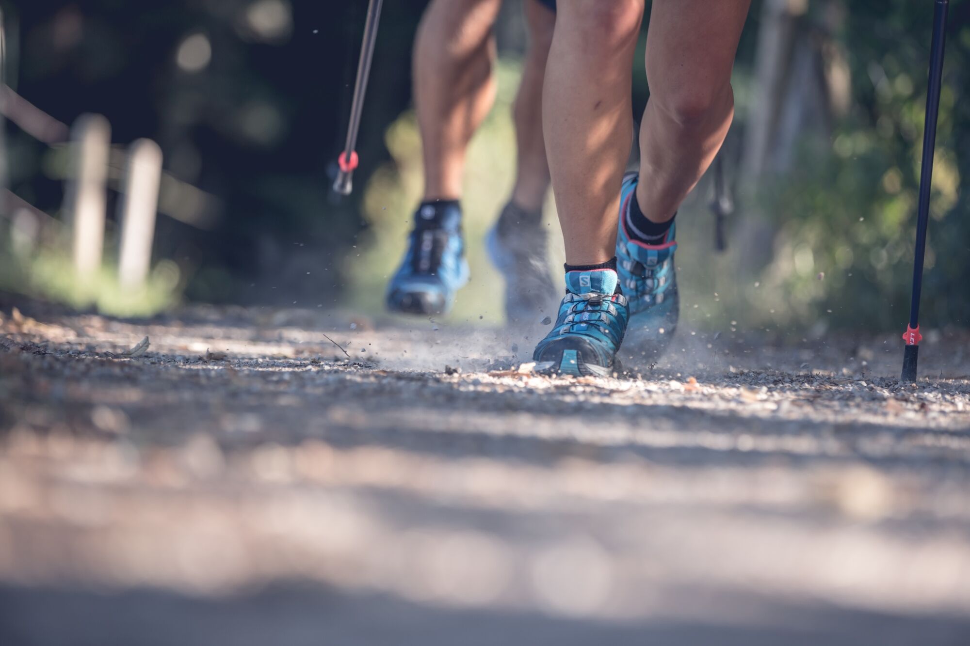
© Tegernseer Tal Tourismus GmbH - Stefanie Pfeiler

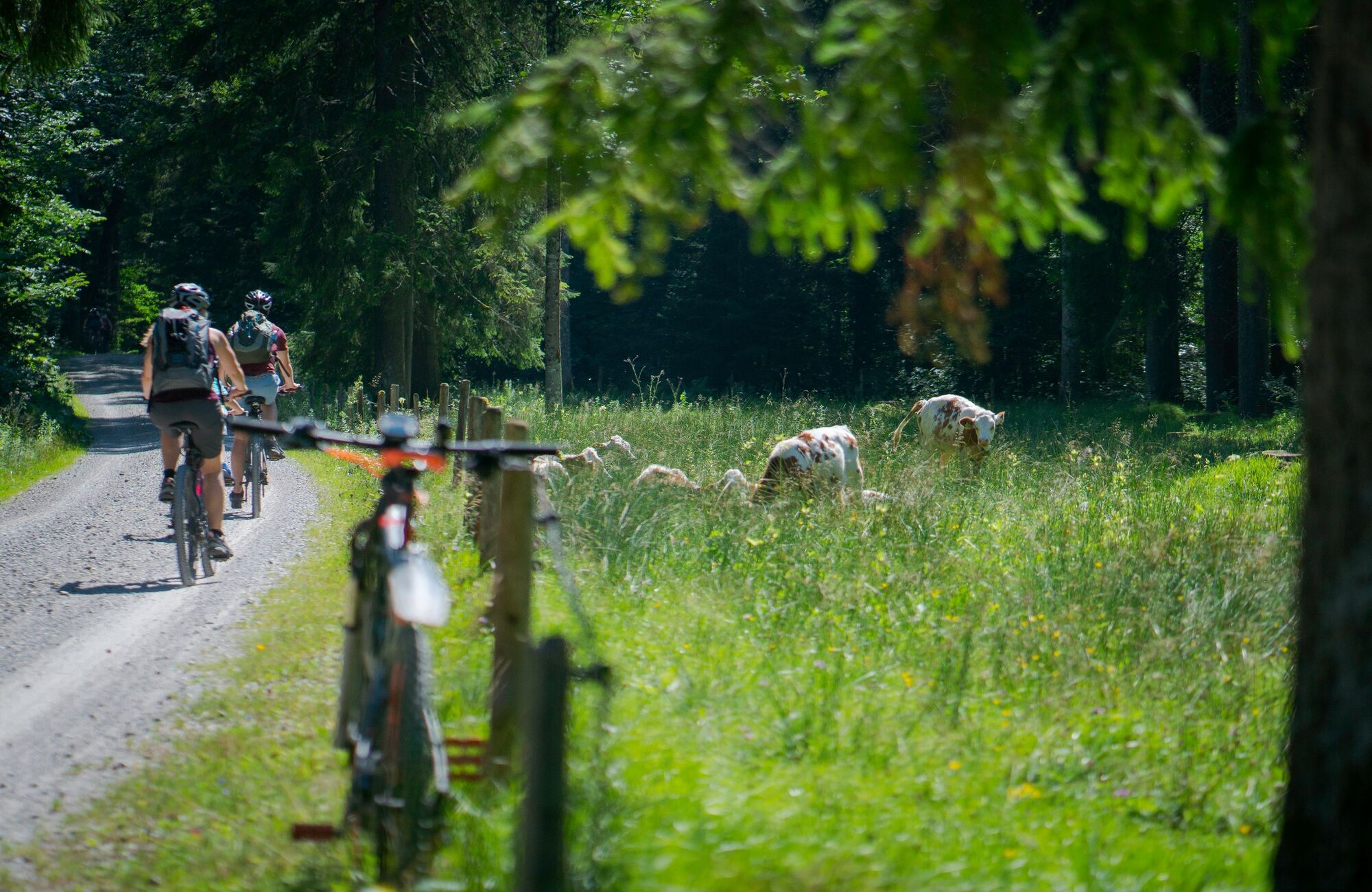
© Tegernseer Tal Tourismus GmbH - Stefanie Pfeiler

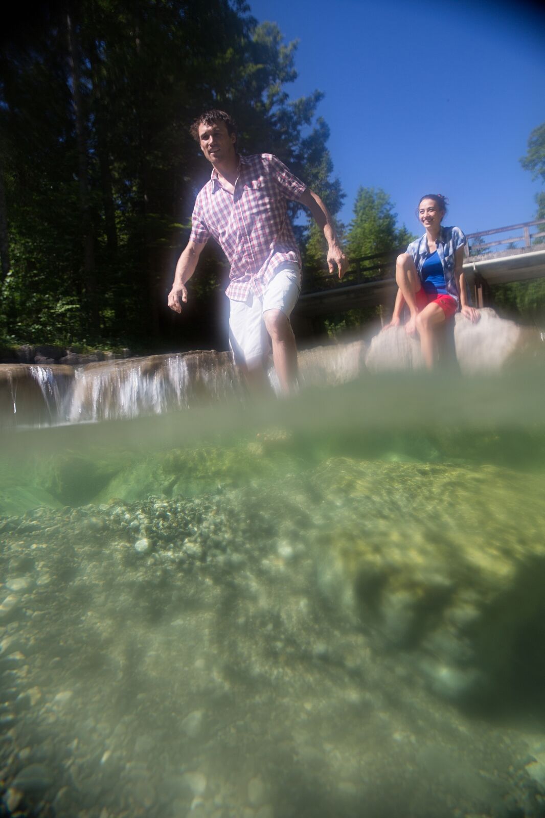
© Tegernseer Tal Tourismus GmbH - Stefanie Pfeiler
© Alpenregion Tegernsee Schliersee - Stefanie Pfeiler

- Brief description
-
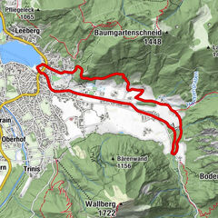
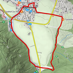
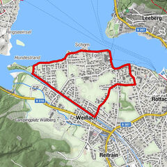
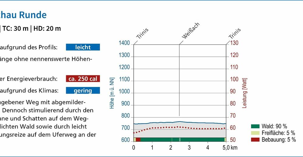
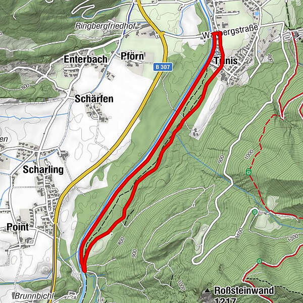
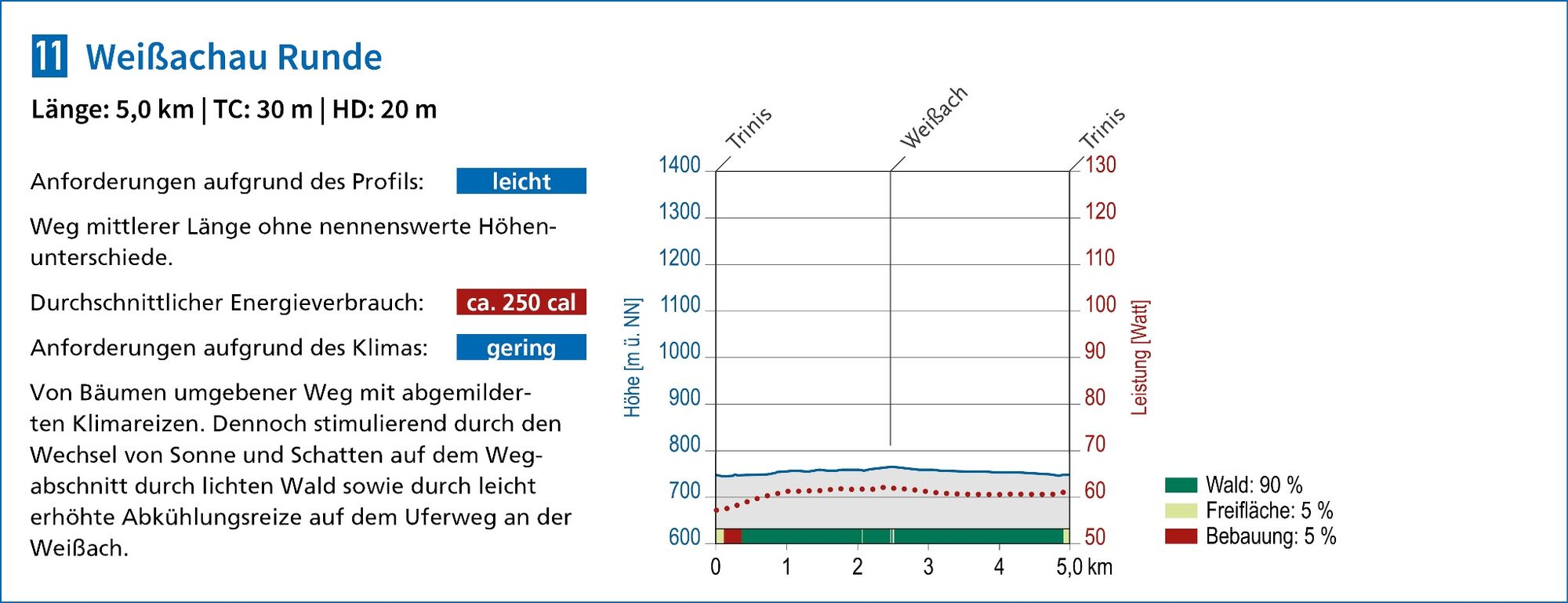
Leichter Rundweg von 5,0 km Länge und Steigungen von insgesamt 30 Höhenmetern.
- Difficulty
-
easy
- Rating
-
- Route
-
Trinis0.3 kmTrinis4.4 km
- Best season
-
JanFebMarAprMayJunJulAugSepOctNovDec
- Highest point
- 764 m
- Endpoint
-
Rottach-Egern, Trinis
- Height profile
-
 © outdooractive.com
-

-
AuthorThe tour Weissachau Runde (Terrainkurweg) is used by outdooractive.com provided.
GPS Downloads


General info
Refreshment stop
Healthy climate
Flora
Fauna
A lot of view
Other tours in the regions