© Spessart-Mainland, Touristikverband e.V. RÄUBERLAND - Holger Leue

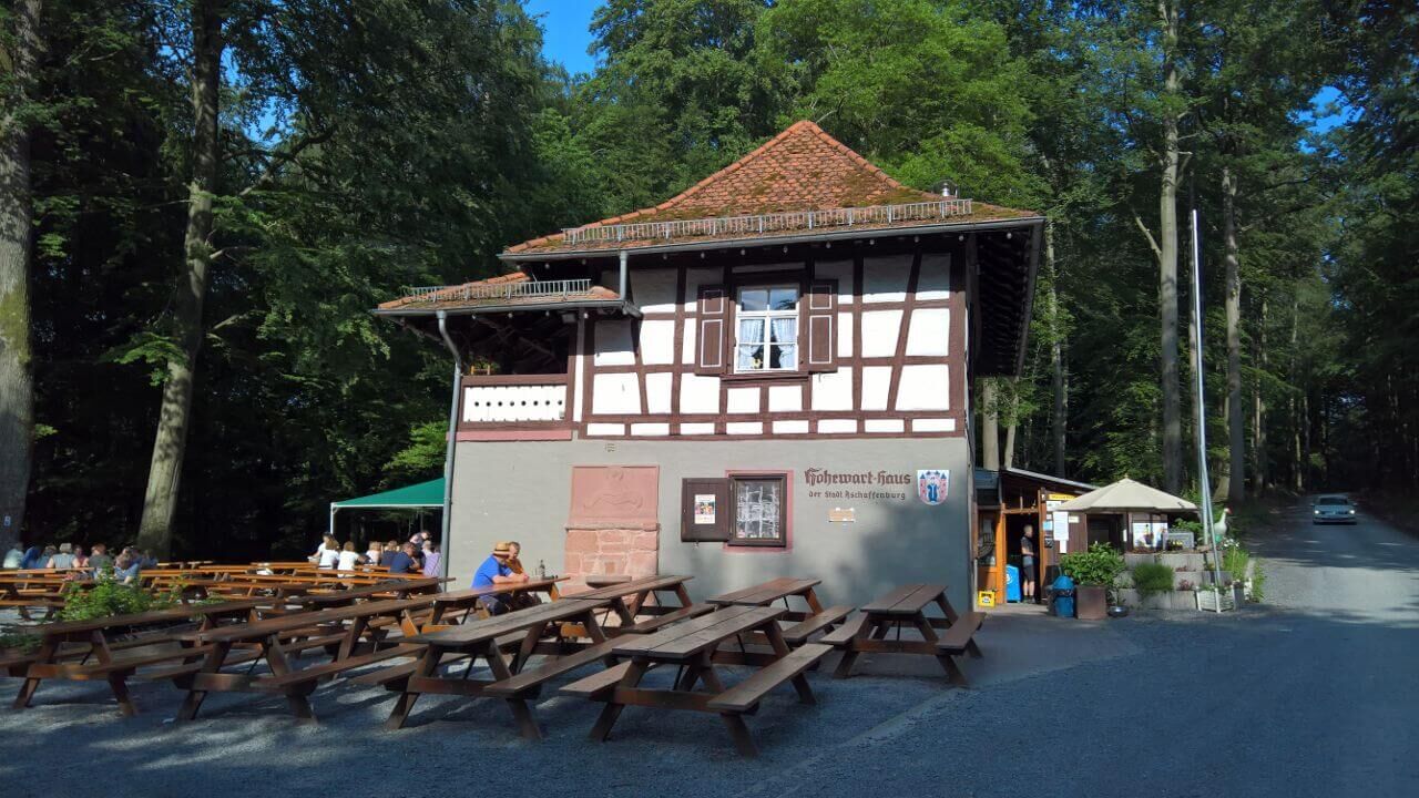
© Hohe Wart Haus
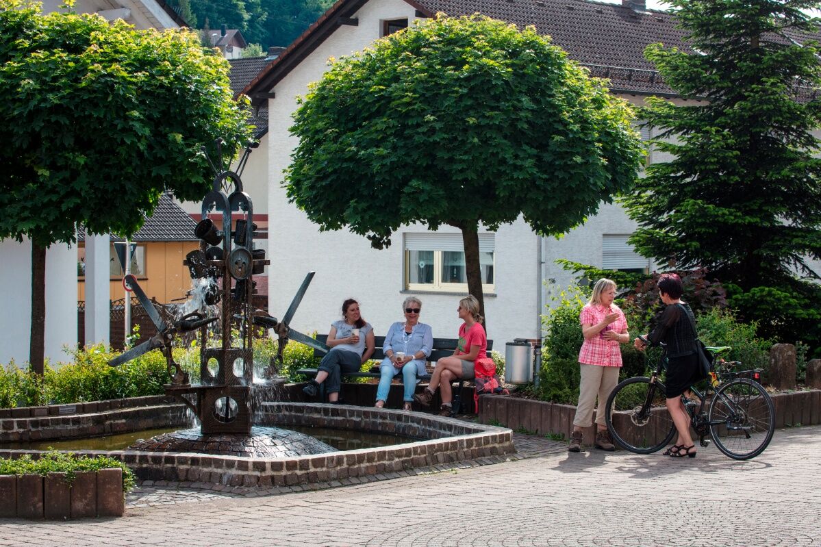
© Gemeinde Leidersbach

- Brief description
-
Nordic Walking Tour
Schwierigkeit: schwer
Sie wander in der Königsklasse. Seit September 2016 ist das RÄUBERLAND Qualitätsregion "Wanderbares Deutschland" zertifiziert.
- Difficulty
-
medium
- Rating
-
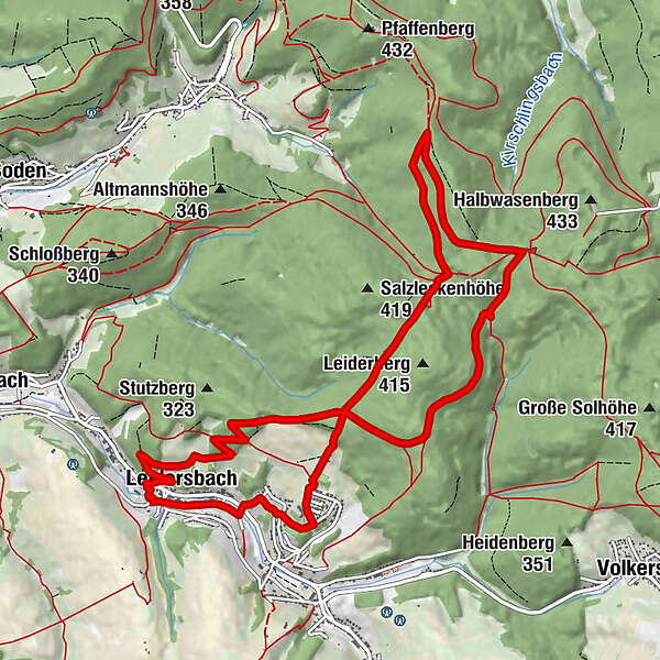
- Route
-
Leidersbach0.4 kmZur Krone11.2 kmZum grünen Tal11.3 kmMarienstatue11.3 kmLeidersbach11.4 km
- Best season
-
JanFebMarAprMayJunJulAugSepOctNovDec
- Highest point
- 417 m
- Endpoint
-
Hofwiese / unterhalb der Hauptstr. 102, 63849 Leidersbach
- Height profile
-
 © outdooractive.com

-

-
AuthorThe tour Leidersbach - "Schwarze Tour" - Nordic Walking is used by outdooractive.com provided.
GPS Downloads


General info
Refreshment stop
A lot of view
Other tours in the regions
-
Bergstraße Odenwald
34
-
Räuberland
28
-
Leidersbach
21