Hochkreuth-Runde

Logo Hochkreuth-Runde
Tour data
6.96km
801 - 993m
Distance
233hm
233hm
Ascent
02:15h
 
Duration
Brief description

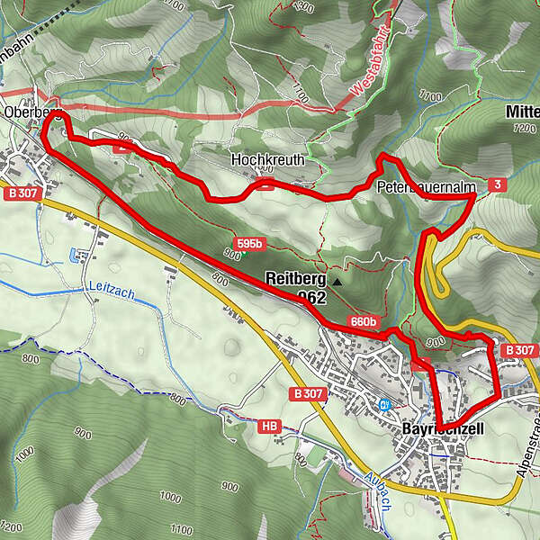
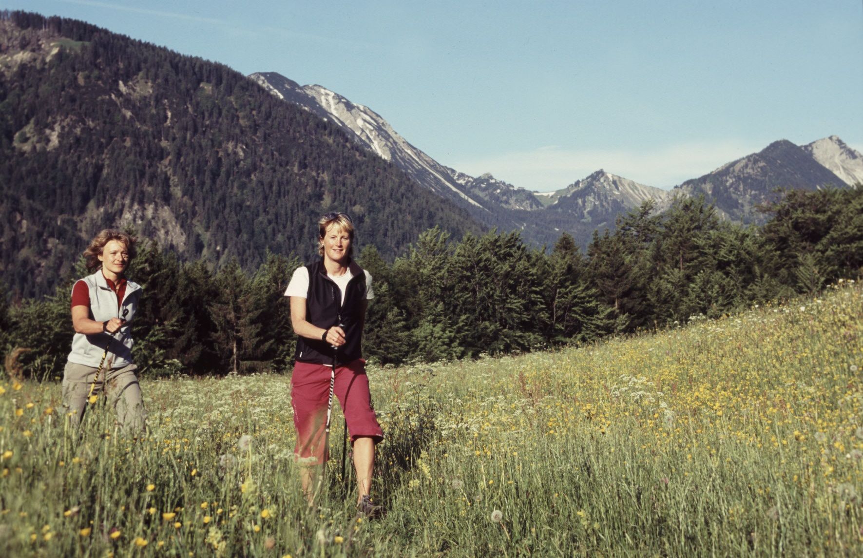
Schwere Tour über Hochkreuth

Difficulty
difficult
Rating
Technique
Fitness
Landscape
Experience
Route
Bayrischzell
0.0 km
Schönborn Kapelle
0.2 km
Peterbauernalm
1.9 km
Hochkreuth
2.9 km
Oberberg
4.3 km
Osterhofen
4.4 km
Bayrischzell
6.9 km

Best season
Jan
Feb
Mar
Apr
May
Jun
Jul
Aug
Sep
Oct
Nov
Dec
Highest point
993 m
Height profile
© outdooractive.com

Author
The tour Hochkreuth-Runde is used by outdooractive.com provided.

Overall rating

5

0

%

4

0

%

3

0

%

2

0

%

1

0

%

Error
An error has occurred. Please try again.
Thank you for your review

Rating has been deleted

GPS Downloads
  • GPX GPS Exchange Format (XML)
  • KML Google Earth, Google Maps
QR Download Codes for Mobile Phones
Other tours in the regions

Popular tours in the area

Bayern Runde (Terrainkurweg)

medium Nordic Walking
5.75km | 92hm | 01:40h

Weyarner Walking Runde

easy Nordic Walking
4.86km | 35hm | 01:01h

Westliche Rottach-Egern Runde (Terrainkurweg)

easy Nordic Walking
4.3km | 8hm | 00:53h

Melkstatt-Runde

easy Nordic Walking
3.53km | 26hm | 01:00h