© S´INNVIERTEL Tourismus_Erber

© OberösterreichTourismusGmbH_MoritzAblinger - Moritz Ablinger

© ARGE Innradweg_Josef Reiter

© OberoesterreichTourismus_InnviertelTourismus_StefanMayerhofer

© OÖ. Tourismus/Erber

© ARGE Römerradweg/FotoloungeBlende8

© ARGE Roemerradweg/FotoloungeBlende8

© Innviertel Tourismus

© Innviertel Tourismus

© ©OÖTourismus-Heiko Mandl-KTM Radfahren
Tour data
223.11km
245
- 699m
1,009hm
1,037hm
55:33h
WGD Donau Oberösterreich Tourismus
- Brief description
-
Römerradweg
History with bathing culture
The Römerradweg combines fun with history lessons and bathing fun. The Romans traveled a lot in Europe, and they can learn about their life and work along the family-friendly cycle path between Passau and Enns. - Difficulty
-
medium
- Rating
-
- Route
-
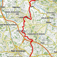
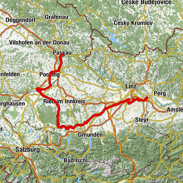
Altstadt0.4 kmPassau (312 m)0.9 kmNeufelser7.6 kmWernstein9.2 kmSchiffsanlegestelle9.3 kmNeuburg am Inn9.4 kmVornbach12.7 kmNeuhaus am Inn15.5 kmSchärding15.8 kmNeuhaus am Inn16.0 kmWeihmörting16.8 kmMittich19.2 kmFrimhöring24.1 kmMarienkirche25.1 kmRuhstorf an der Rott (319 m)25.4 kmGasthaus Besenhart25.6 kmToni Wirt25.7 kmSembauer27.7 kmGstetten28.2 kmPocking30.7 kmKath. Pfarrkirche St. Ulrich30.8 kmAngering34.9 kmAndreaskirche36.8 kmBad Füssing37.1 kmKapelle39.1 kmUrfar51.4 kmAsperl52.8 kmEring54.7 kmFrauenstein55.5 kmBurgschänke56.0 kmMamling58.2 kmHoll60.0 kmAltheim64.4 kmPizzeria Tonino69.1 kmPolling im Innkreis69.2 kmGasthaus Friedl70.4 kmImolkam70.7 kmAltenaichet72.0 kmOrnading72.7 kmSchacher73.8 kmKirchheim im Innkreis74.5 kmKirchenwirt75.8 kmFerienhotel Innviertel75.8 kmWirt z'Kraxenberg76.0 kmKraxenberg76.1 kmAmpfenham77.1 kmRamerding78.3 kmRiegerting80.4 kmGunzing81.5 kmHacksperr86.2 kmWaldzell87.1 kmGitthof87.8 kmKnechtsgern88.2 kmHöschmühl88.6 kmHartlberg88.8 kmSchmiedwirt90.8 kmFlucht (704 m)93.8 kmRedltal96.1 kmSeminarhotel Gasthof Redltalhof96.3 kmGrubleitenpoint100.3 kmGmeineck100.9 kmAdligen103.6 kmDanzenreith106.2 kmKrichpoint111.6 kmWies111.8 kmMörasing112.2 kmVöcklamarkt113.3 kmGründberg115.4 kmHaid116.3 kmReichenthalheim117.0 kmLandgasthof Nußbaumer117.1 kmGallnbrunn118.5 kmPiesdorf119.7 kmEgning122.2 kmGasthaus Lachinger123.4 kmWitzling124.0 kmHaunolding124.7 kmWeiterschwang126.9 kmObergallaberg128.7 kmUntergallaberg128.8 kmStraß130.2 kmOberthalheim130.5 kmTimelkam130.5 kmSt. Anna130.5 kmOberthalheim130.8 kmGasthof Fruhstorfer131.6 kmVöcklabruck (433 m)131.8 kmSonnleithen137.7 kmAichet138.8 kmSteinhübl139.1 kmAttnang-Puchheim139.3 kmKath. Filialkirche hl. Martin140.3 kmEinwarting141.7 kmRedlham143.7 kmAu145.4 kmHainprechting146.9 kmErlausiedlung147.5 kmSchwanenstadt147.9 kmStaig149.2 kmWirt in der Fischerau154.9 kmFischerau154.9 kmTheresien-Quelle156.4 kmLambach156.7 kmStadl-Paura156.7 kmStadl-Ufer158.0 kmEdt bei Lambach159.1 kmKropfing159.9 kmGraben160.9 kmFluchtwang161.7 kmSperr162.4 kmSaag163.9 kmHölzl168.5 kmWaidhausen169.6 kmRosenau171.1 kmWels (317 m)172.8 kmThalheim bei Wels173.2 kmTraunuferstraße173.5 kmTraun192.2 kmNettingsdorf196.4 kmGrabwinkel200.5 kmAnsfelden201.4 kmRohrbach208.0 kmKapelle208.0 kmGemering210.1 kmSchitteraichet211.2 kmSt. Florian212.3 kmGasthof Franz-Ferdinand212.4 kmKiche St. Johann212.8 kmFlorianibründl212.8 kmWeilling212.9 kmKapelle214.4 kmSamesleiten214.8 kmEnns220.5 kmGasthaus Walter Wurdinger220.5 kmEnns221.5 kmLorch221.7 kmEnghagen222.7 km
- Best season
-
JanFebMarAprMayJunJulAugSepOctNovDec
- Description
-
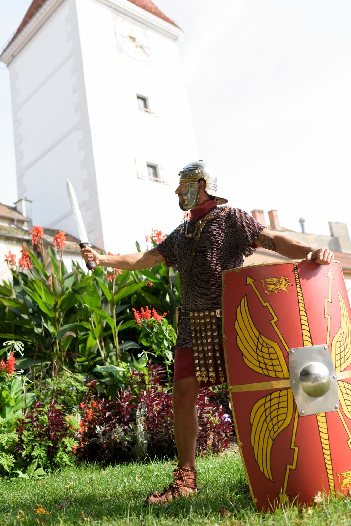
The Roman Cycle Route connects not only the two neighboring countries of Bavaria and Upper Austria, he is also - as his name promises - a cycle path in Roman times. That is why he is also marked with Roman helmets in addition to the regular cycling signage.
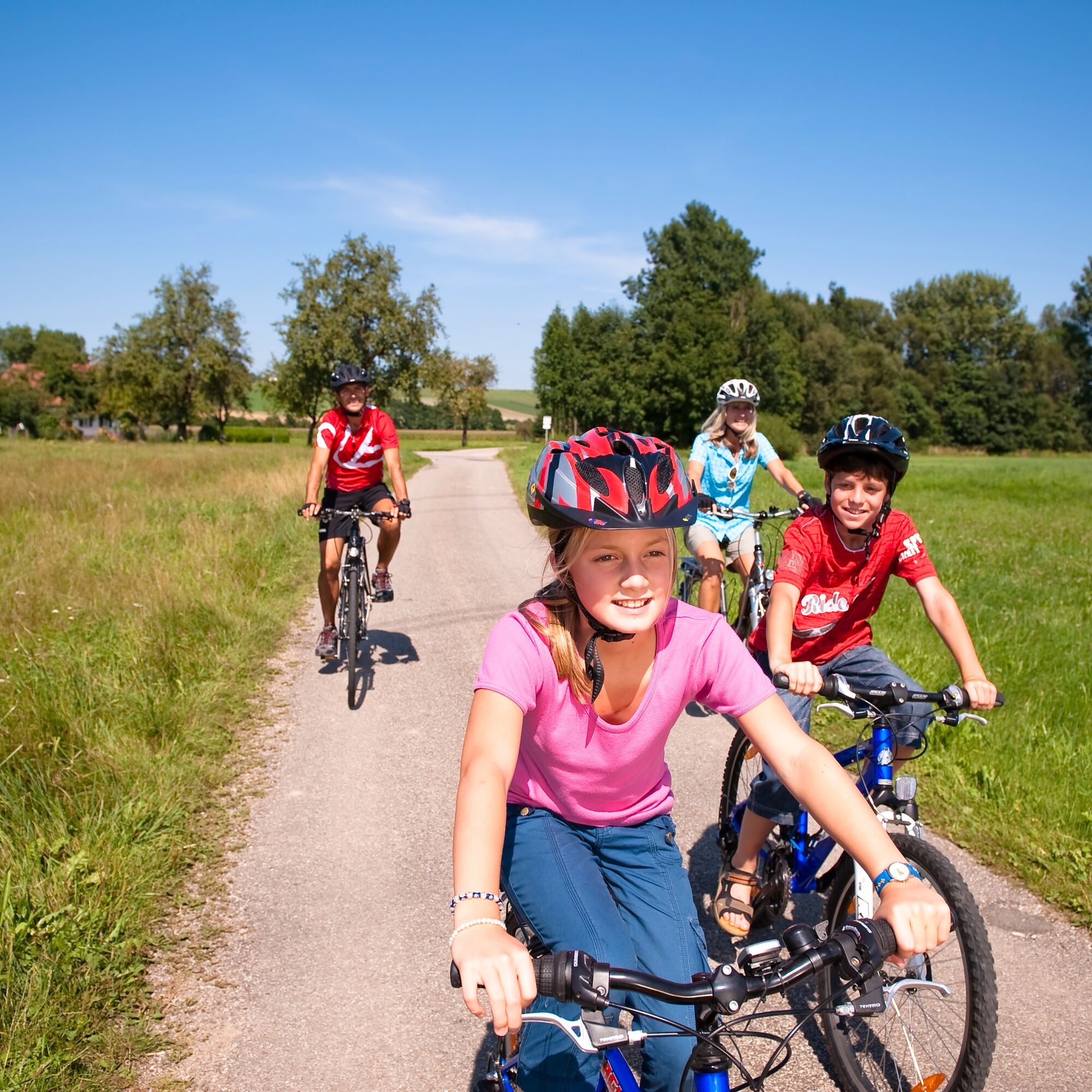
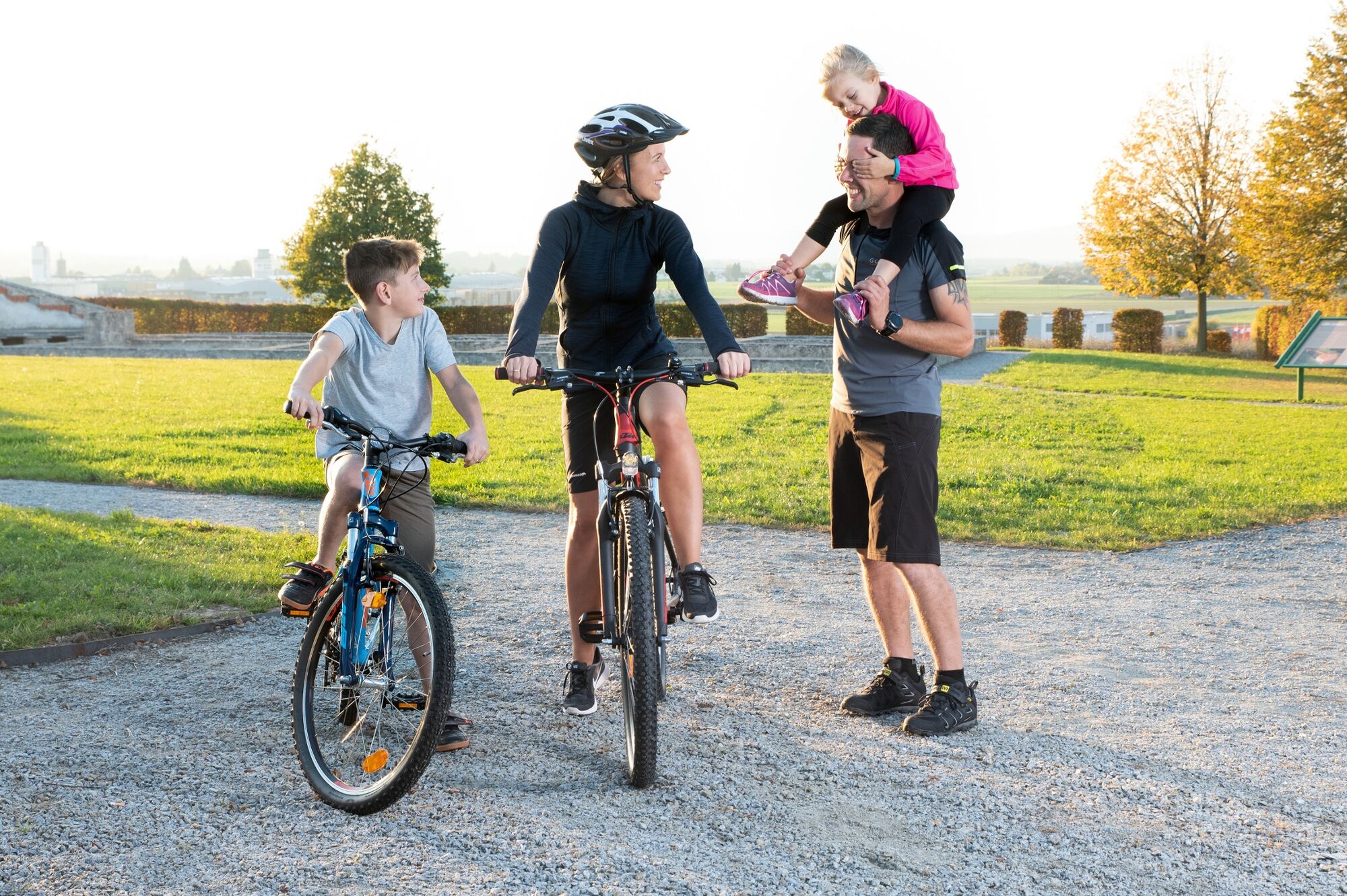
Due to low gradients and well-developed paths, it is ideal for families. The 242-kilometer cycle path leads from Passau in Bavaria right through the Upper Austrian Innviertel and Hausruckviertel to Enns.
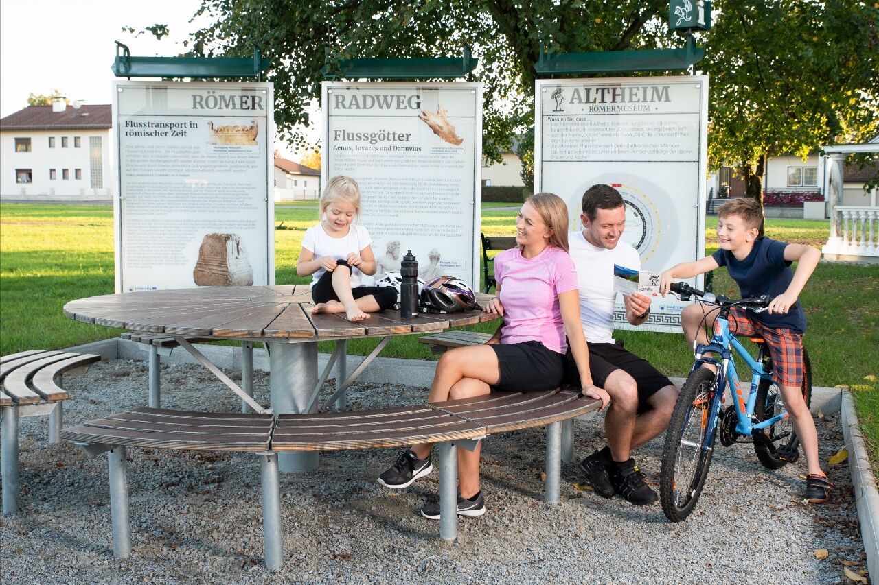
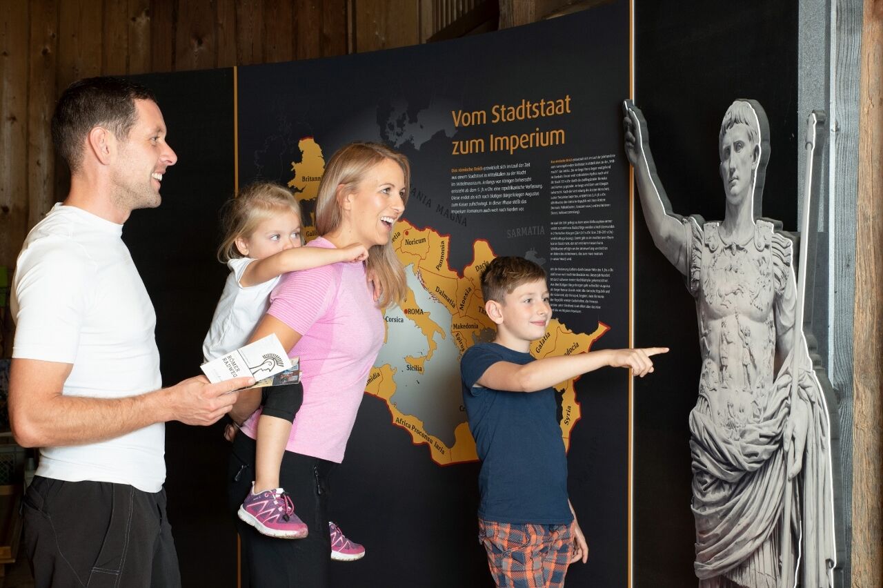
Three-part information boards, sites and museums along the route provide information about the life and activities of the Romans. Uniform rest areas offer time for recreation - unique are certainly the children's tables and Bankerl. Especially child-friendly, the story is told in the Roman Museum in Altheim.
The central starting point of the journey is the three-river town of Passau with the remarkable Roman Museum Fort Boiotro.
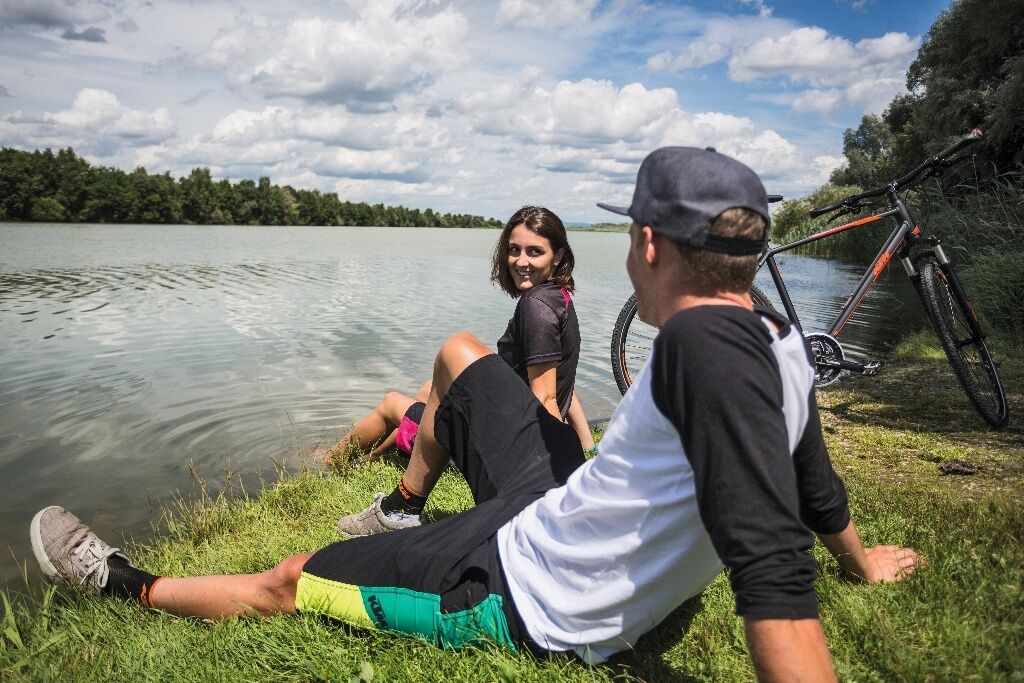
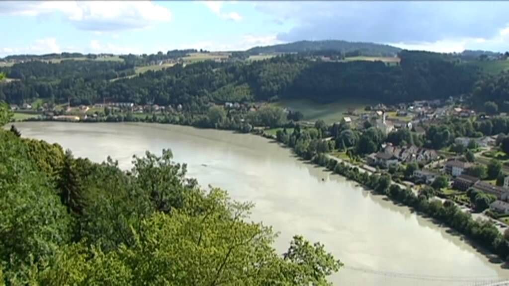
Coming from the Bavarian Rottal you cross the Inn at the Frauenstein Castle in Mining and you are in the middle of the "European Reserve Lower Inn", where you can catch the sounds of some 300 different species of birds.
About the Hausruckviertel and the Salzkammergut the way continues via Vöcklabruck, Wels and St. Florian to Enns.
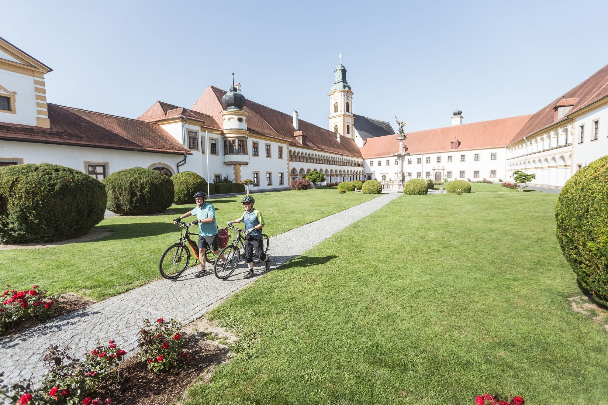
Worth a break is the baroque Benedictine monastery Lambach and in St. Florian the Augustinian monastery.
The destination city of Enns - incidentally the oldest city in Austria and former legion camp - thrilled with the Museum Lauriacum and unique excavations.
In addition to the main route there are variants in Bavaria - about Pocking, in Upper Austria - on Aspach and it can be made a detour to the Attersee and the Almsee.
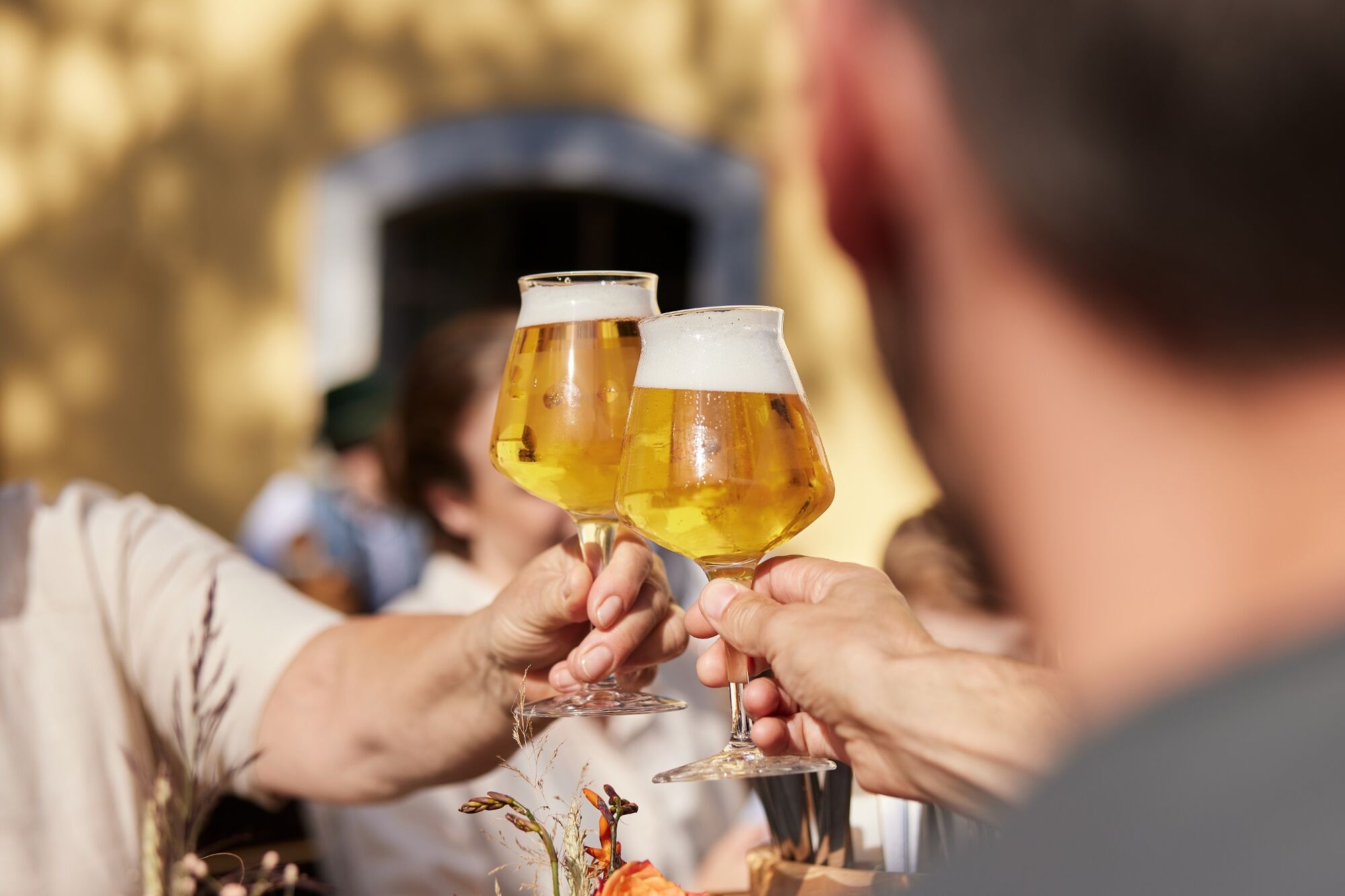
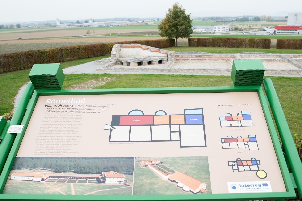
Bathing culture once & now
Ruins of the Roman baths testify today to the extended bathing pleasure of the ancient Romans. The Roman bathing culture had as well as today also medical and soothing aspects. The thermal spas in the Lower Bavarian spa triangle and the Innviertel, for example, still provide wonderful recreational opportunities that would make many Romans jealous.
Start: Passau or any other city / municipality on the bike path
Destination: Enns or any other town on the bike path - Highest point
- 699 m
- Height profile
-
 © outdooractive.com
 - Additional information
- Directions
-
The starting point is the three-river town of Passau. This is where the "Cycle Routes of the Roman Period" Via Danubia and Roman Cycle Route meet.


- Author
-
WGD Donau Oberösterreich TourismusThe tour Römerradweg is used by outdooractive.com provided.
GPS Downloads


Other tours in the regions
-
Hausruckviertel
114
-
Hausruckwald
62