© GaPa Tourismus - Bettina Plank
© GaPa Tourismus - Bettina Plank

© GaPa Tourismus - Bettina Plank

© GaPa Tourismus - Bettina Plank

- Brief description
-
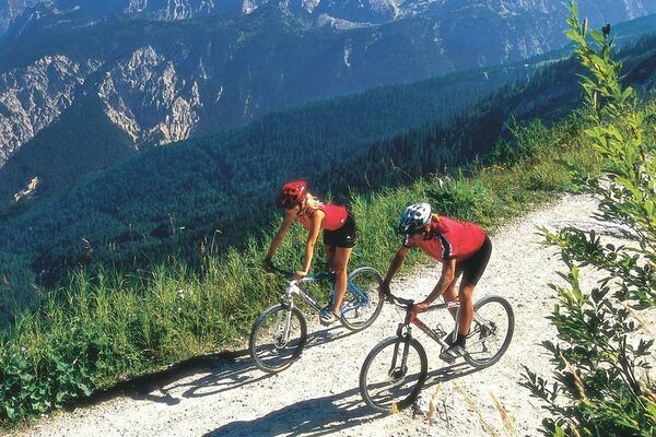
Beautiful but demanding mountain bike tour with impressive scenery.
- Difficulty
-
difficult
- Rating
-
- Starting point
-
Bahnhof (train station) Garmisch-Partenkirchen
- Route
-
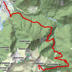
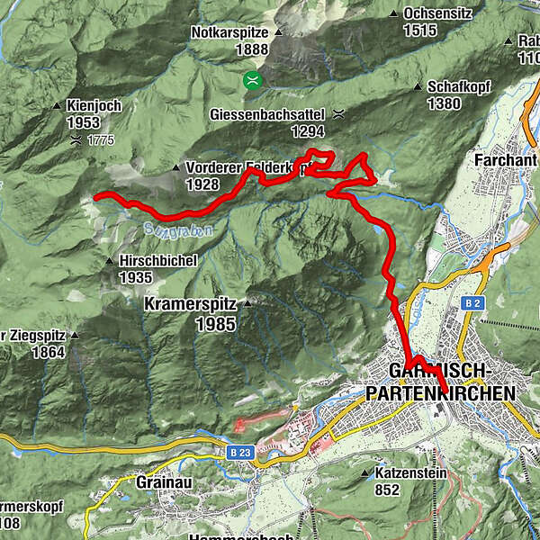
Garmisch-Partenkirchen (708 m)0.1 kmNeuapostolische Kirche0.5 kmSonnenbichl2.2 kmBerggasthof Pflegersee4.4 kmBerggasthof Pflegersee26.0 kmSonnenbichl28.1 kmNeuapostolische Kirche29.6 kmGarmisch-Partenkirchen (708 m)30.3 km
- Best season
-
JanFebMarAprMayJunJulAugSepOctNovDec
- Description
-
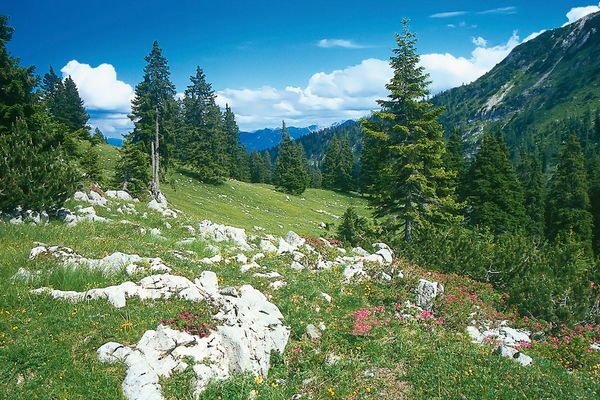
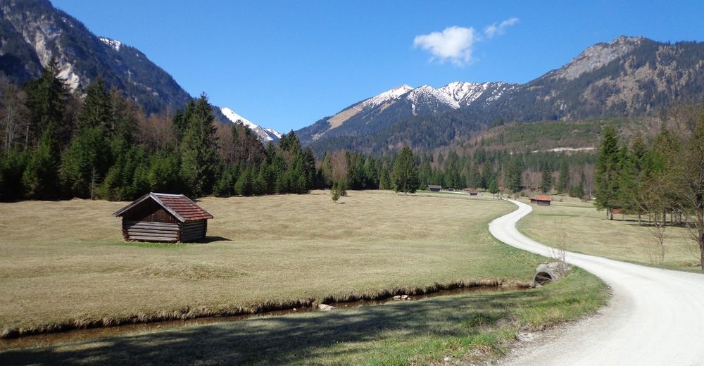
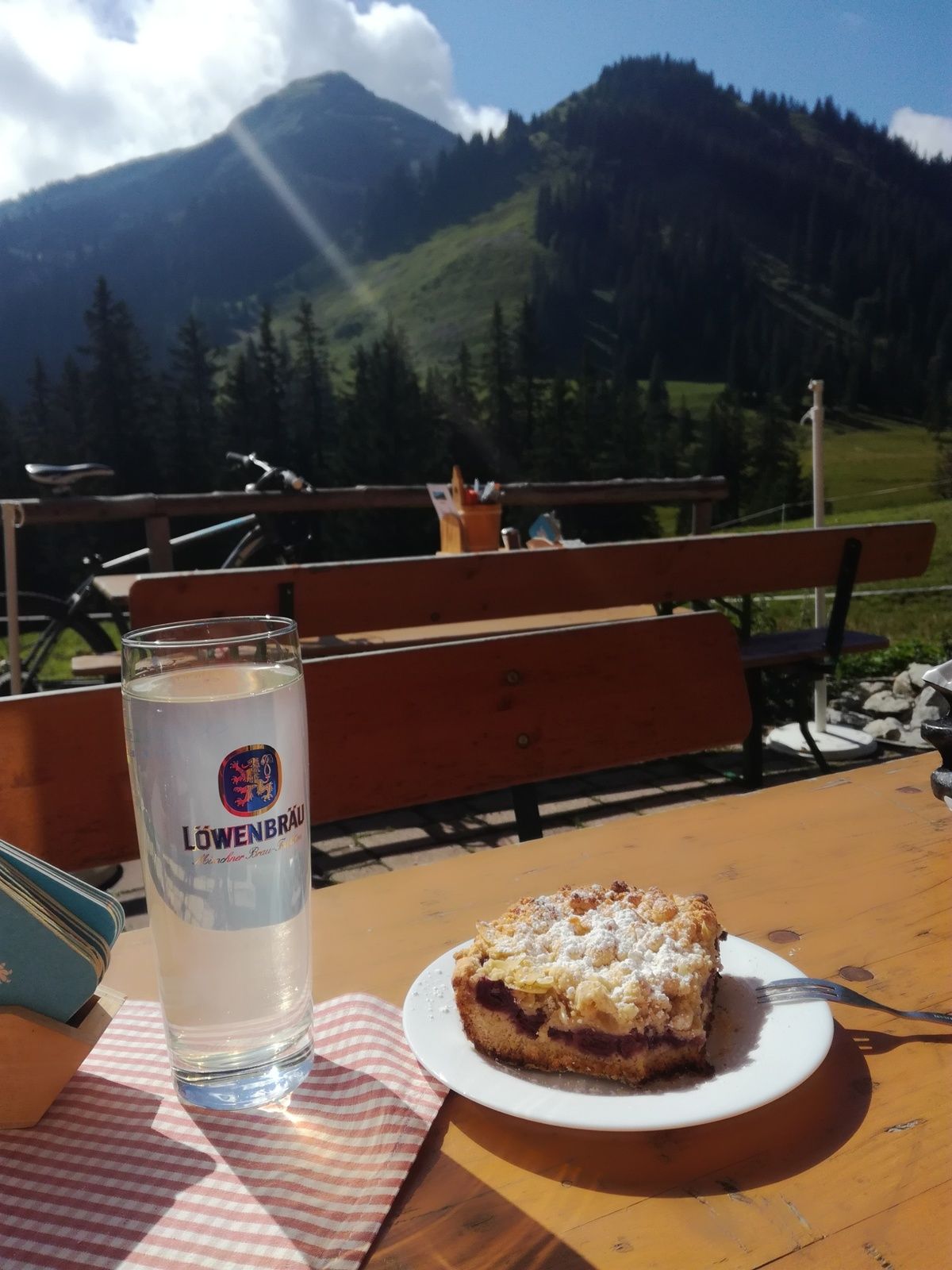
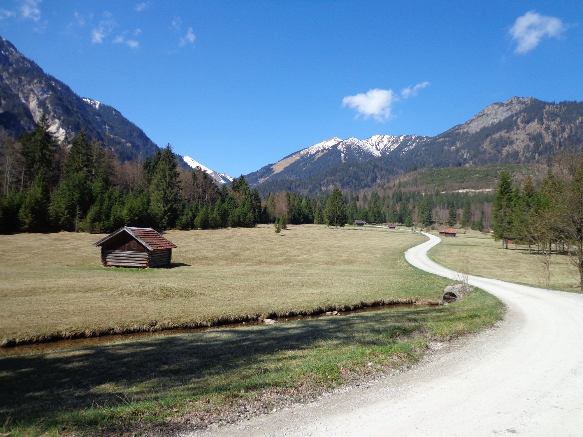
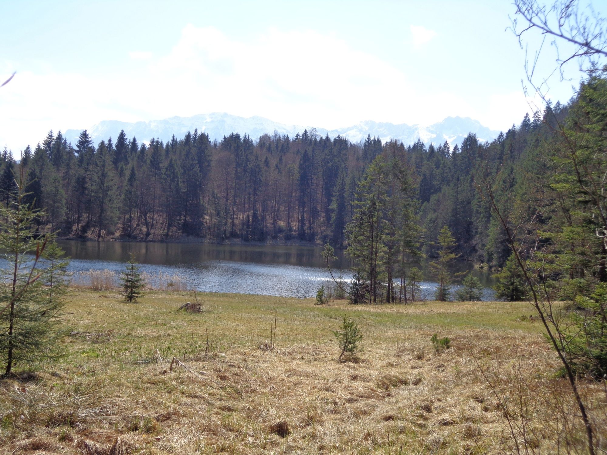
When passing Lake Pflegersee with its splendid views of Garmisch-Partenkirchen and the surrounding mountains, across the meadows of the Reschberg Mountain, and the former haunt of the famous bear Bruno, you will go uphill to the mountain pasture Enning-Alm. At an altitude of 1,544 m, from the beginning of July until mid-September, you can see young cattle, goats and horses, all grazing together on the lush green meadows between the Felderkopf and Hirschbühel Mountains.
For a more detailed description of the tour, please refer to "PDF Print" above.
- Directions
-
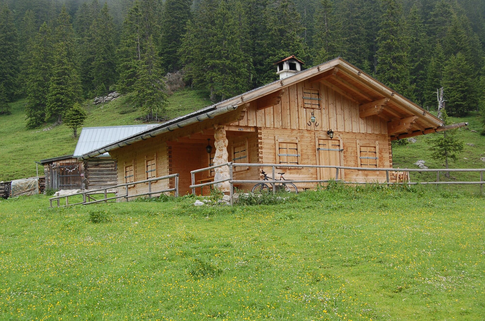
From the parking site in front of the station you will go right, pass the travel agency and pedal down Bahnhofstraße. At the traffic light turn left onto Parkstraße. Follow its course to the major intersection. Here you will turn right along Burgstraße. After ca. 500 m turn left onto Thomas-Knorr-Straße and follow the signs to “Pflegersee”. Soon you will see an information board providing orientation. At Lake Pflegersee, a restaurant and a beach await you. Along the eastern bank continue on, following the signs to “Reschbergwiesen/Enning-Alm”. On the well-developed gravel path take on the next climb. After crossing a gorge, you can catch the first glimpse of the Loisachtal Valley. Soon the path turns more level and up ahead you will be able to see the meadows of Reschberg Mountain. Here you will be at an altitude of roughly 870 m, so you already managed the first 200 m altitude difference. At the large junction you should keep left and follow the cycling signs to the Enning-Alm. Stay on the forest track, which soon turns considerably steeper. Ahead of you lies the first of two longer climbs. Finally you will pass a small Alpine hut, in front of which a bench and a magnificent view invite you to take a breather. Unfortunately, the hut is not attended. Now you will take on the second climb that is even steeper than the first one. Then, the way goes downhill for a short while. Be careful not to miss the sign to the Enning-Alm, which will suddenly pop up on your right. Go uphill to the right. It may be better to get off your bike and walk it up the very steep climb (including steps) through the forest. Then, the forest clears and you can see the Enning-Alm. Take the same way back down to the valley.
- Highest point
- 1,550 m
- Endpoint
-
Bahnhof in Garmisch-Partenkirchen
- Height profile
-
 © outdooractive.com
 - Equipment
-
Weatherproof clothing, cycling helmet, water bottle, repair kit, first-aid kit, and protection against the sun
- Safety instructions
-
Phone number for Alpine emergencies: Phone 112 (Mountain Rescue Service)
Weather forecast for the local mountains of the Bayerischen Zugspitzbahn Bergbahnen cable car company: Phone +49 8821 797 979
- Tips
-
The Enning-Alm is attended only in midsummer.
- Additional information
-
www.gapa.de
- Directions
-
Take the motorway A95 from Munich to its end at Eschenlohe, and then follow the state road B2 to Garmisch-Partenkirchen. Drive in the direction of Partenkirchen/Mittenwald/Innsbruck. Turn right at the intersection at the town hall (4th traffic light), and then turn left to the train station at the second traffic light.
When coming from Mittenwald, take the state road B2 to Garmisch-Partenkirchen. There, follow the signs to Munich. At the town hall intersection (3rd traffic light), turn left, and then left again at the 2nd traffic light.
When coming from Reutte/Ehrwald/Tirol/Grainau, take the state road B23 into Garmisch-Partenkirchen and then follow the signs to “Ortsteil Partenkirchen”. After the underpass on St.-Martin-Straße there is a sharp bend to the right, immediately followed by traffic lights. Here you should turn right to the train station. - Public transportation
-
Take the train to Garmisch-Partenkirchen (connections from Munich every hour, regular connections from Innsbruck and Reutte).
- Parking
-
Bahnhof (train station), (P4, paid parking)

- Author
-
The tour To the Enning-Alm is used by outdooractive.com provided.
GPS Downloads


General info
Refreshment stop
Flora
A lot of view
Other tours in the regions