
Tour data
9.69km
546
- 1,266m
686hm
686hm
00:32h

- Brief description
-
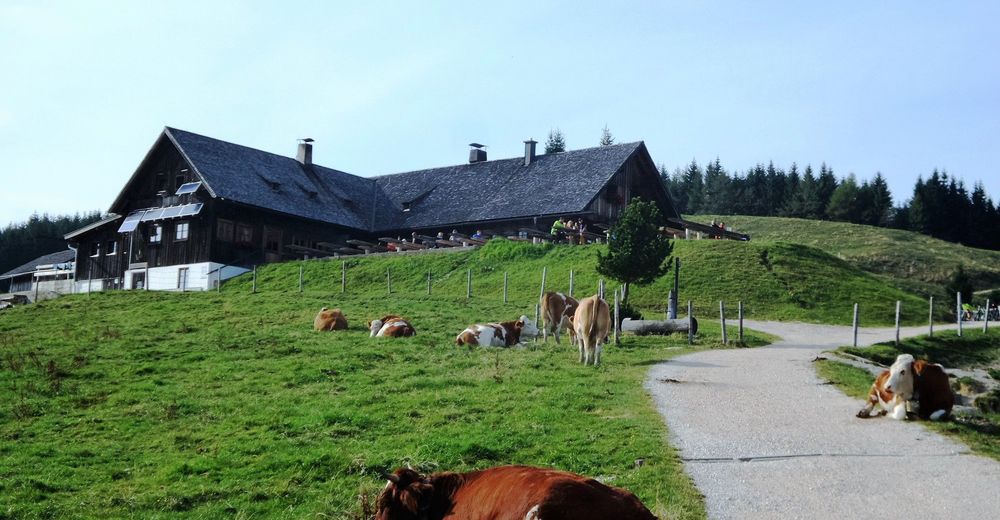
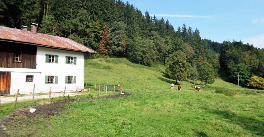
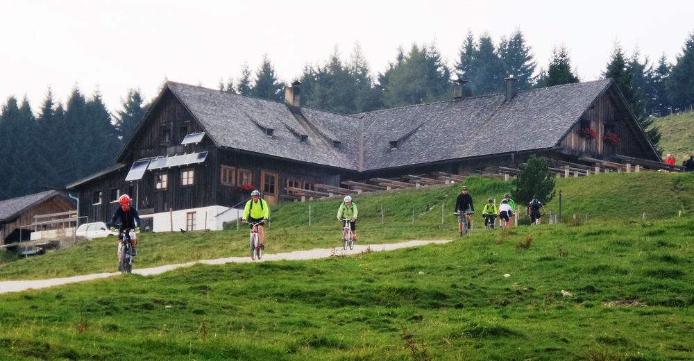
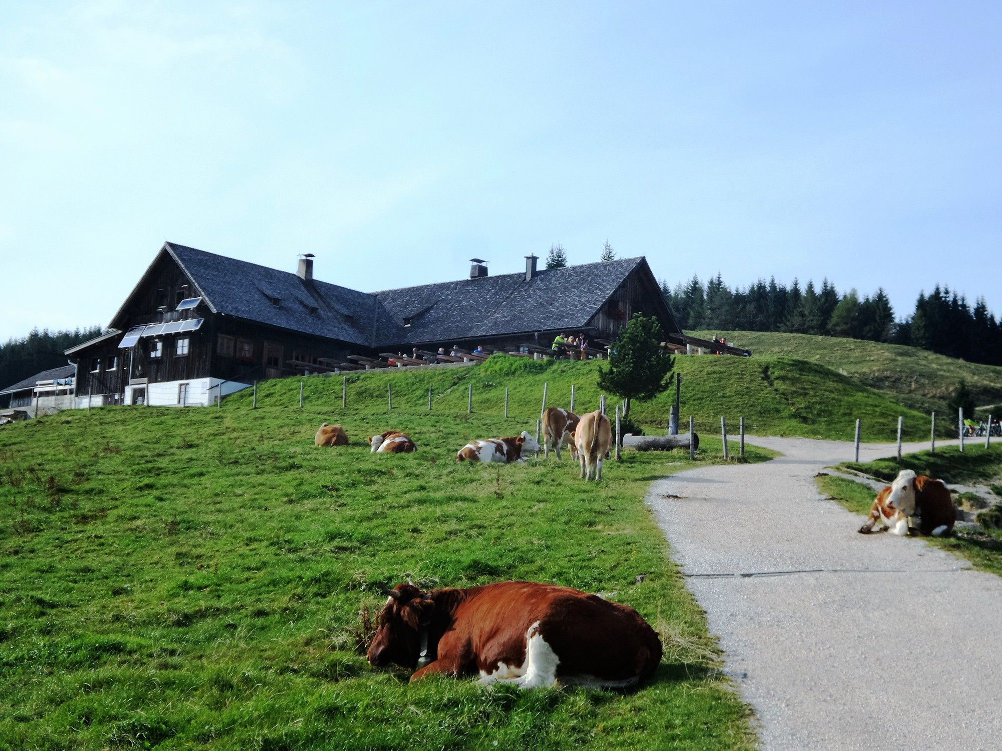
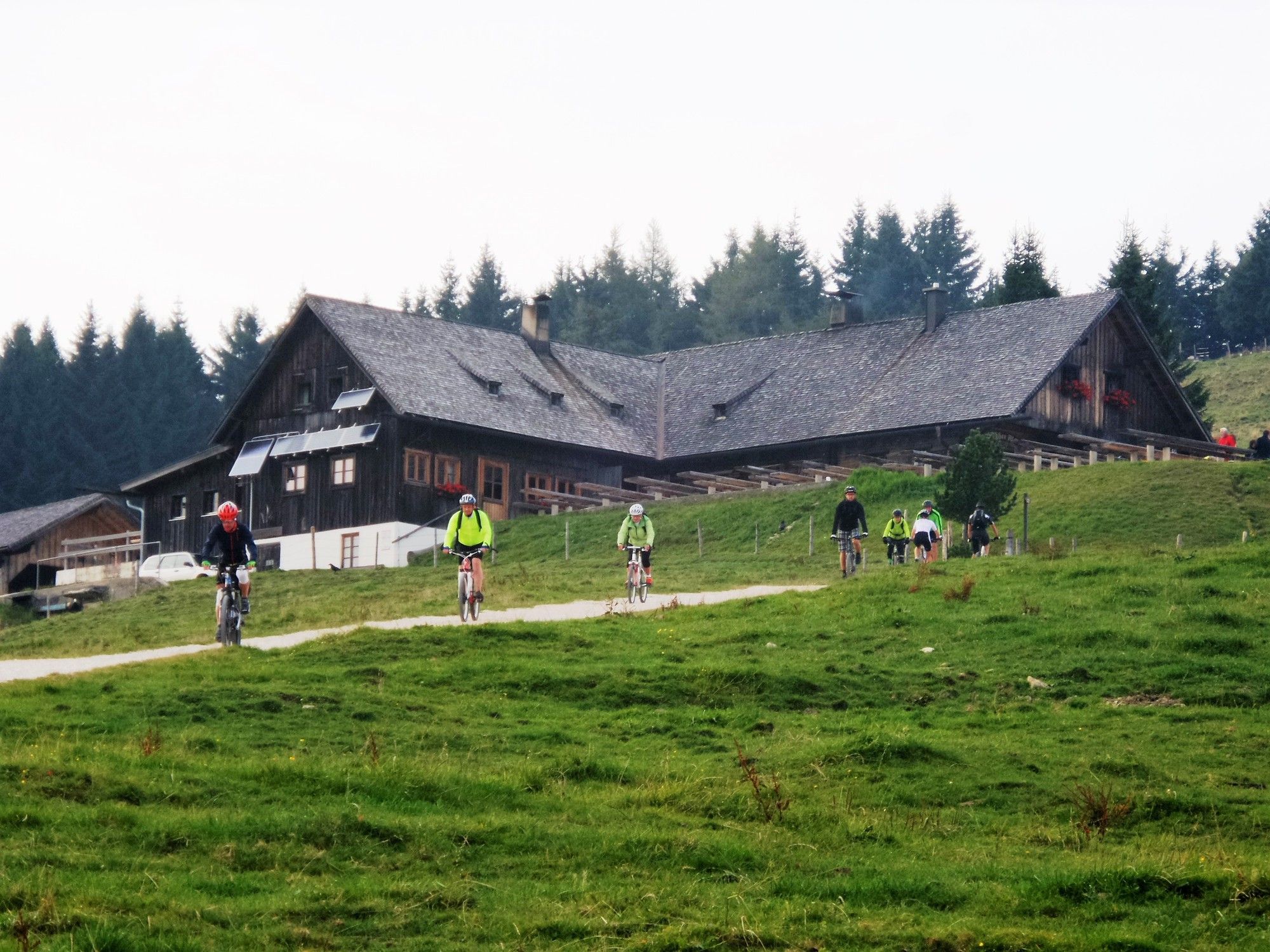
MTB: Stoißer Alm am Teisenberg (Stoißeralm, Stoisseralm)
- Difficulty
-
difficult
- Rating
-
- Starting point
-
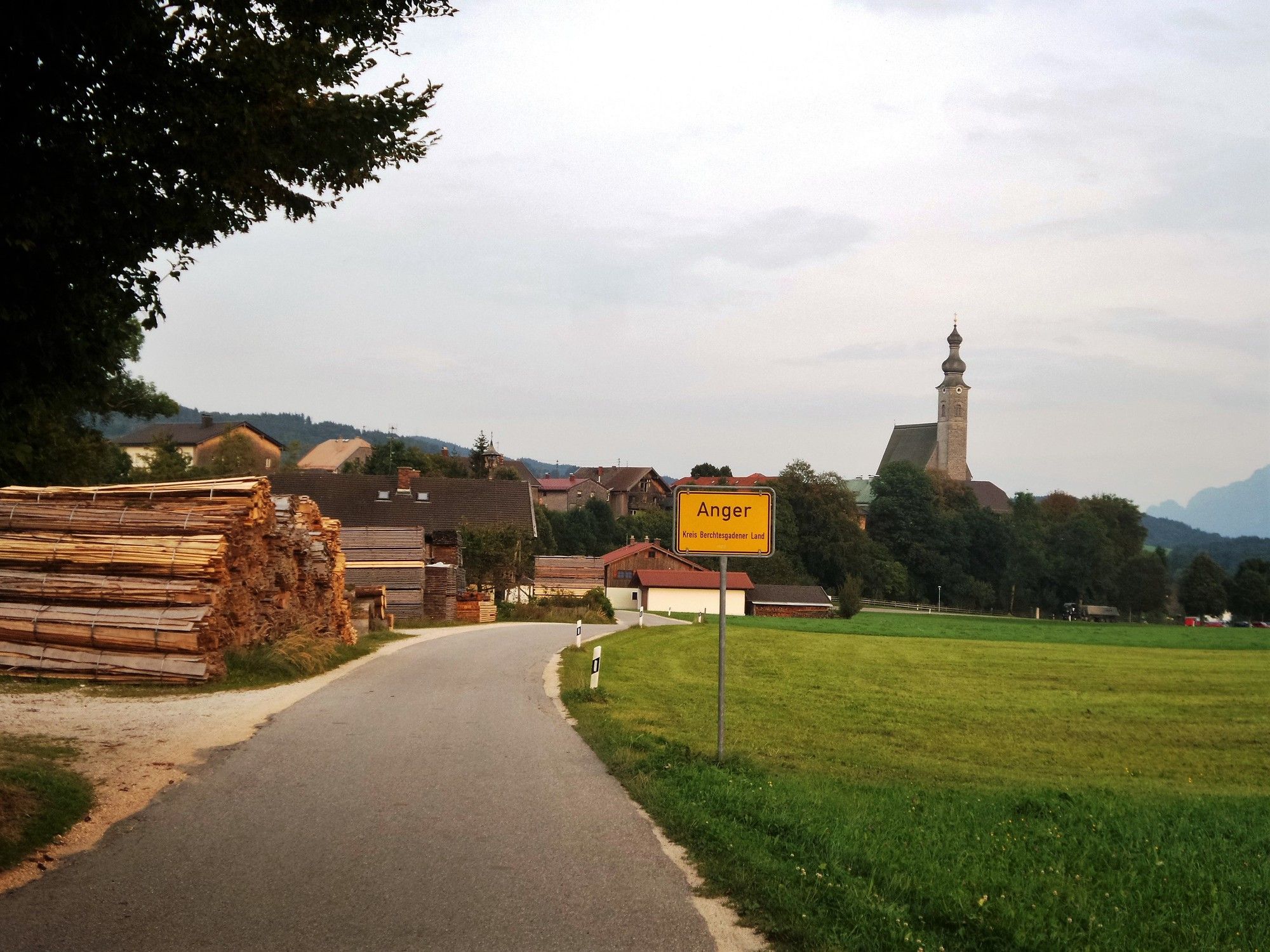
Anger, Berchtesgadener Land, Deutschland
- Route
-
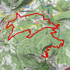
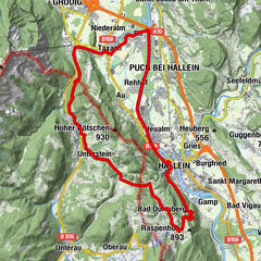
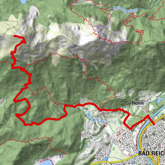
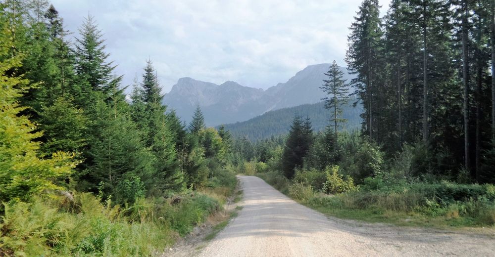
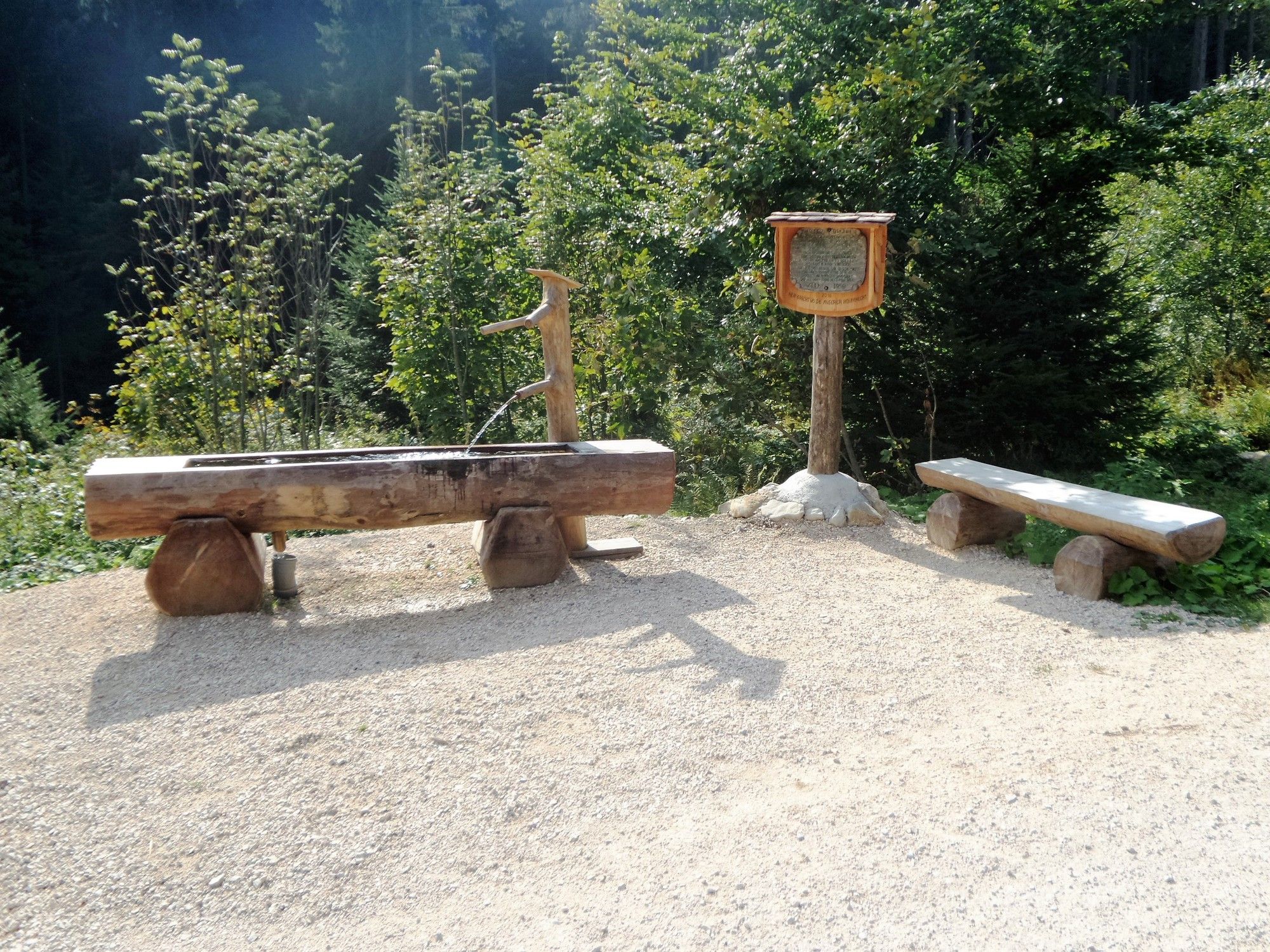
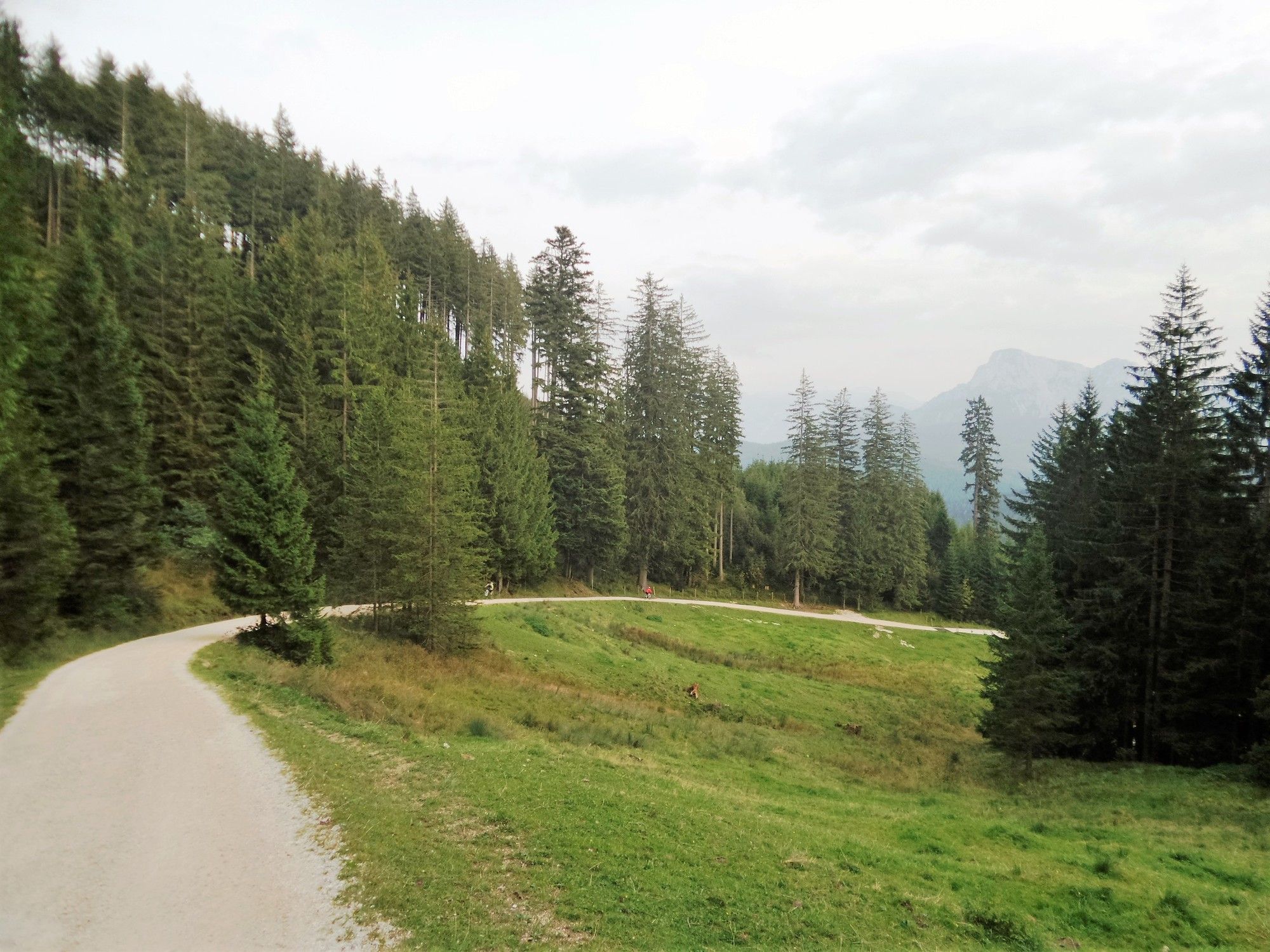
La Marca Gioiosa0.1 kmAnger0.2 kmWolfertsau1.4 kmIrlberg1.4 kmInzeller Kreuz6.7 kmStoißer Alm9.5 km
- Best season
-
JanFebMarAprMayJunJulAugSepOctNovDec
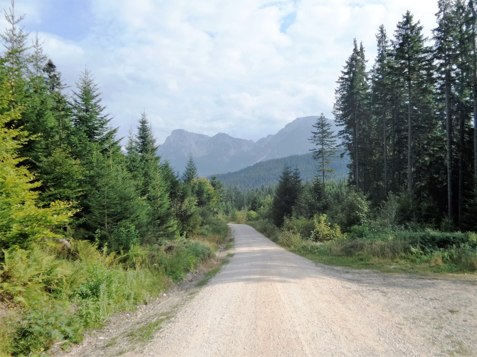
- Highest point
- 1,266 m
- Endpoint
-
Stoißeralm


- Source
- Xxlstier
GPS Downloads


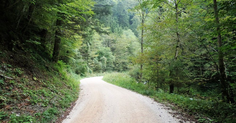
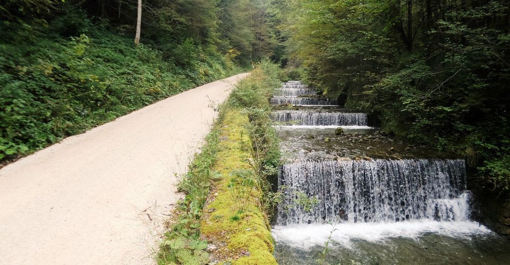
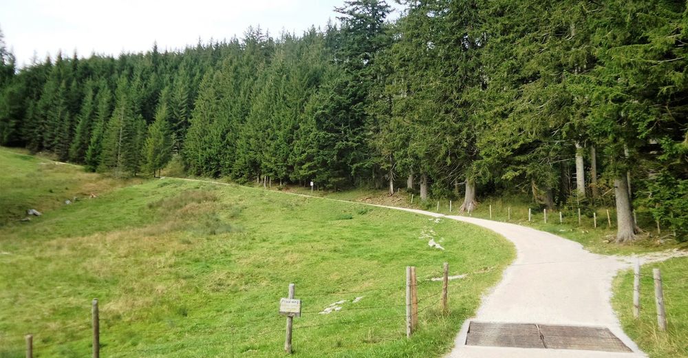
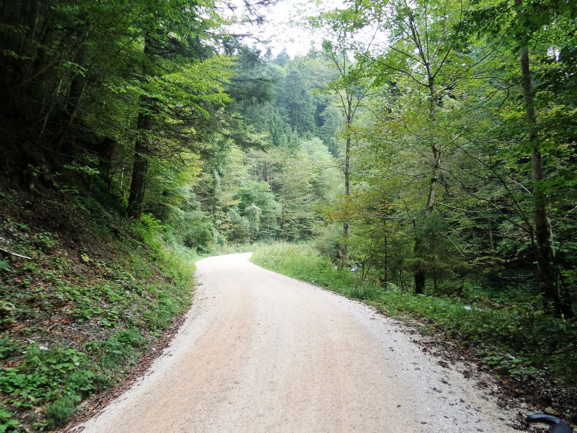
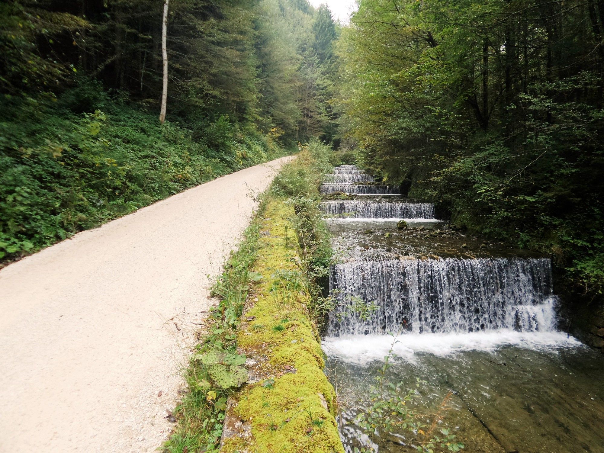
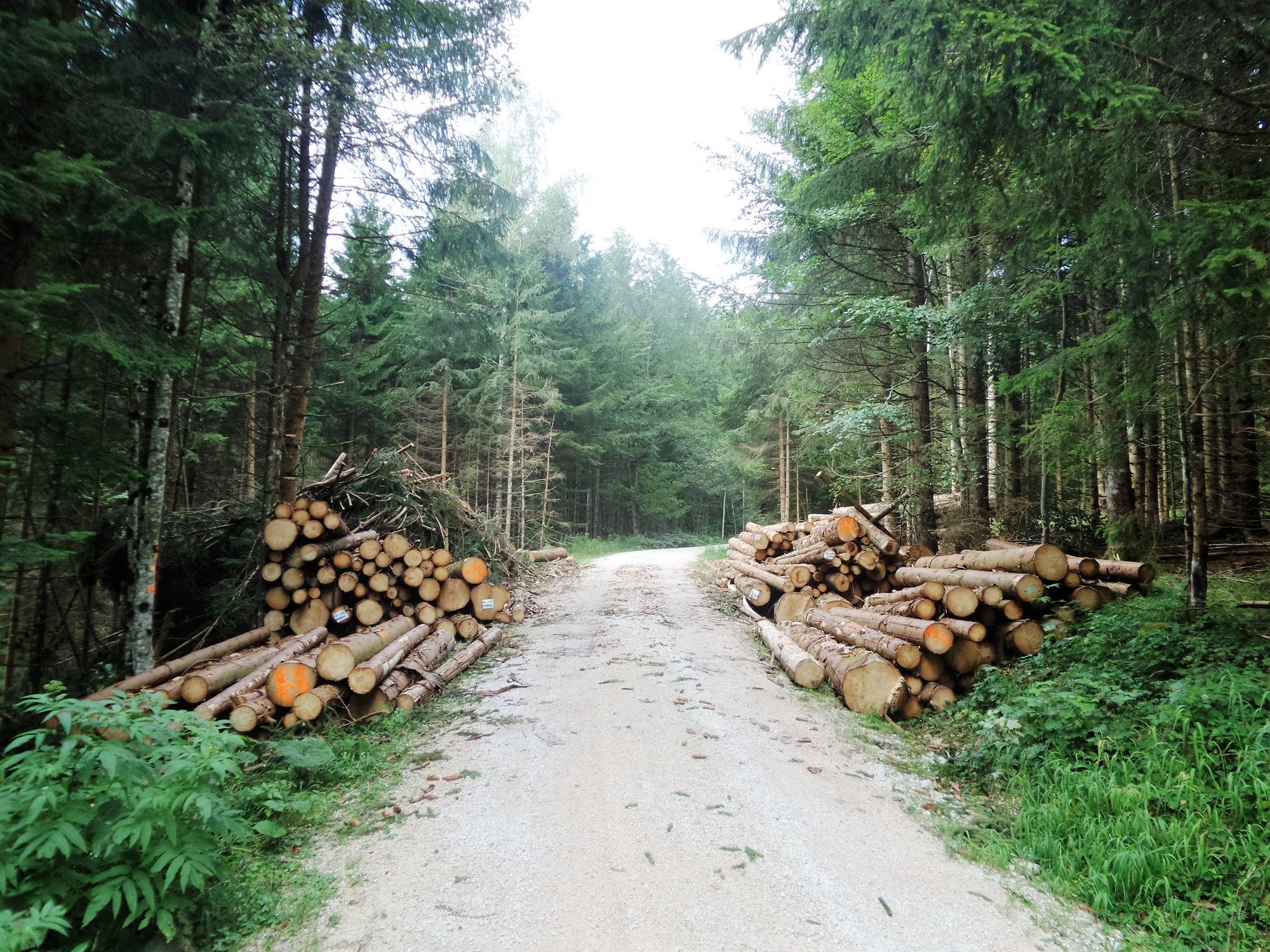
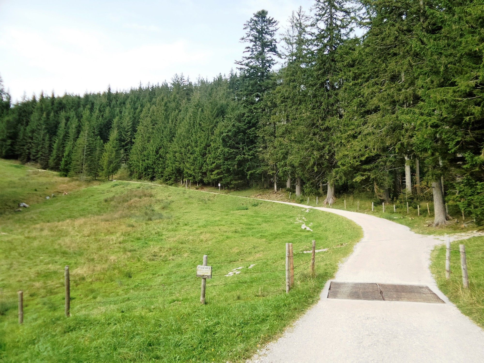
Surfaces
Asphalt
(5)
Gravel
(95)
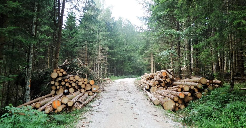
Forest
Mountain paths
Single trails
Trial
Traffic
Other tours in the regions
-
Waginger See
137
-
Anger
103