Bootswandern Eining - Weltenburg

Logo Bootswandern Eining - Weltenburg
Tour data
6.85km
341 - 346m
Distance
-
Ascent
01:20h
 
Duration
Brief description

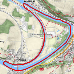
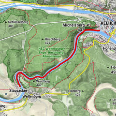
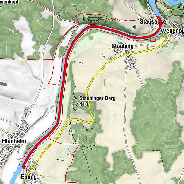
Bootstour entlang der Donauauen zwischen Eining und Weltenburg bei Kelheim

Route
Eining
Anlegestelle Eining
0.1 km
Staubing
5.1 km
Weltenburg
6.4 km
Stausacker
6.5 km

Highest point
346 m
Height profile
© outdooractive.com

Author
The tour Bootswandern Eining - Weltenburg is used by outdooractive.com provided.

Overall rating

5

0

%

4

0

%

3

0

%

2

0

%

1

0

%

Error
An error has occurred. Please try again.
Thank you for your review

Rating has been deleted

GPS Downloads
  • GPX GPS Exchange Format (XML)
  • KML Google Earth, Google Maps
QR Download Codes for Mobile Phones
Other tours in the regions

Popular tours in the area

Kanu-Rundkurs Bad Abbach

Kayak / Canoe
8.26km | 9hm | 02:30h

Bootswandern Kelheim - Matting

Kayak / Canoe
22.15km- | 04:25h

Bootswandern Weltenburg - Kelheim

difficult Kayak / Canoe
5.3km- | 01:05h