Deutscher Limeswanderweg: Altmannstein - Bad Gögging

long-distance walking trail

© Tourismusverband im Landkreis Kelheim e.V.

© Tourismusverband im Landkreis Kelheim e.V.

© Tourismusverband im Landkreis Kelheim e.V.

© Tourismusverband im Landkreis Kelheim e.V.

- Brief description
-
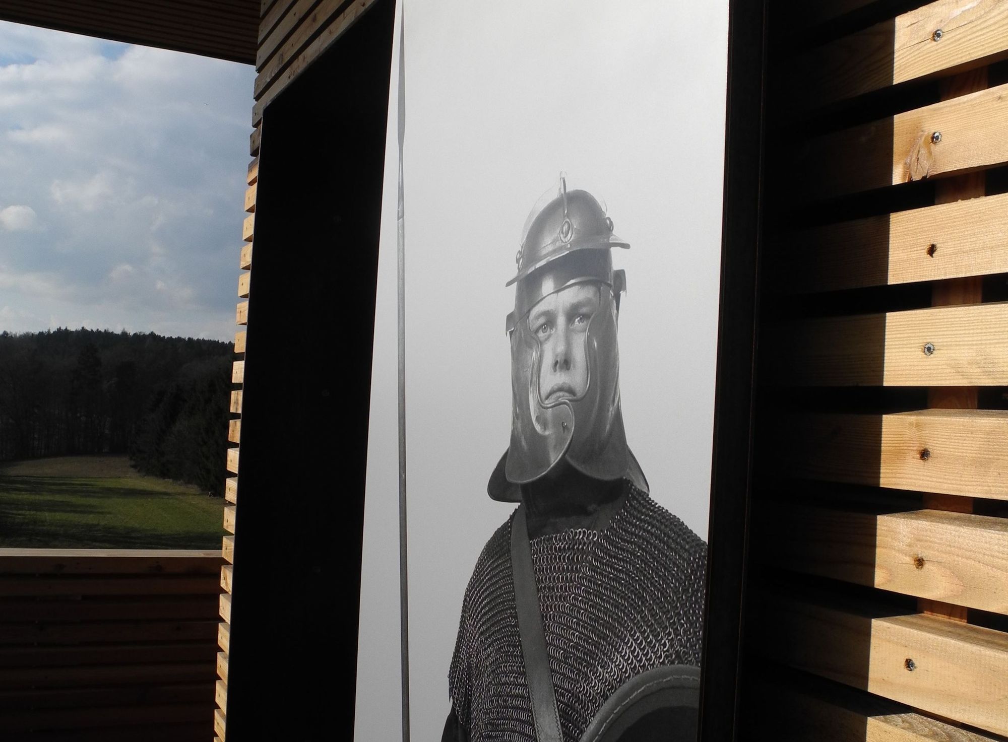
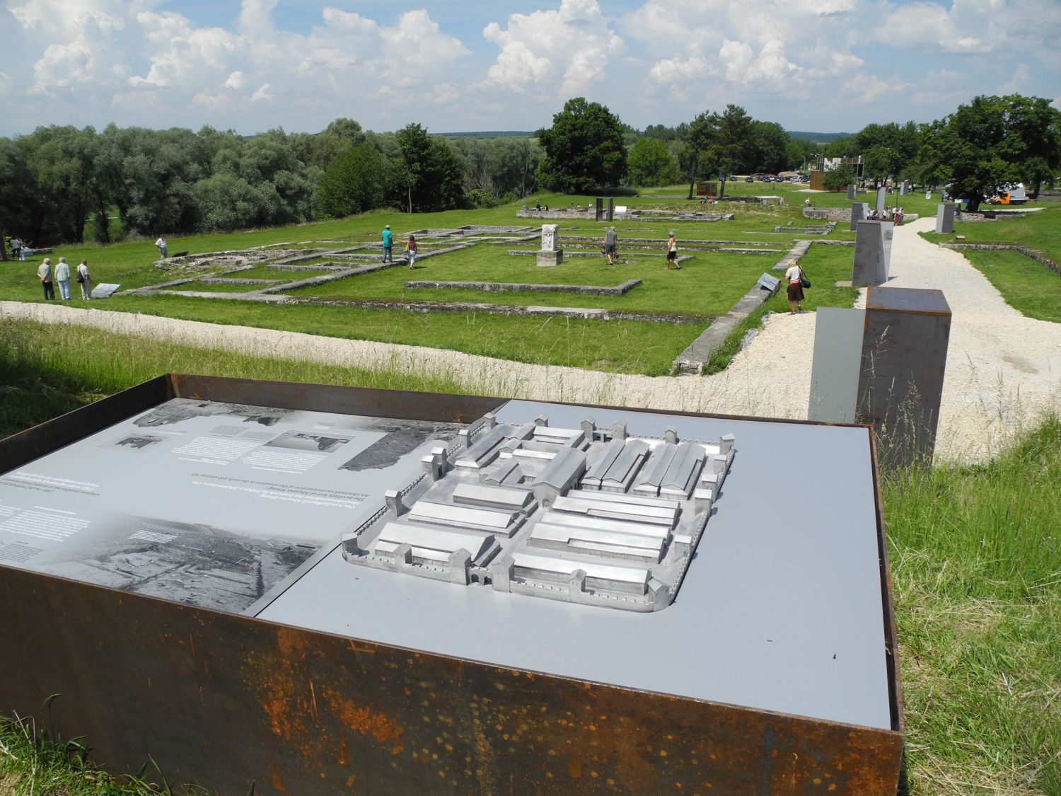
Wandern auf den Spuren der Römer entlang des "nassen" Limes zum Römerkastell Abusina in Eining und ins Römische Museum Bad Gögging
- Difficulty
-
difficult
- Rating
-
- Route
-
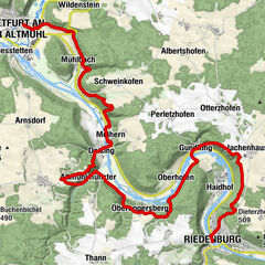
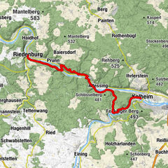
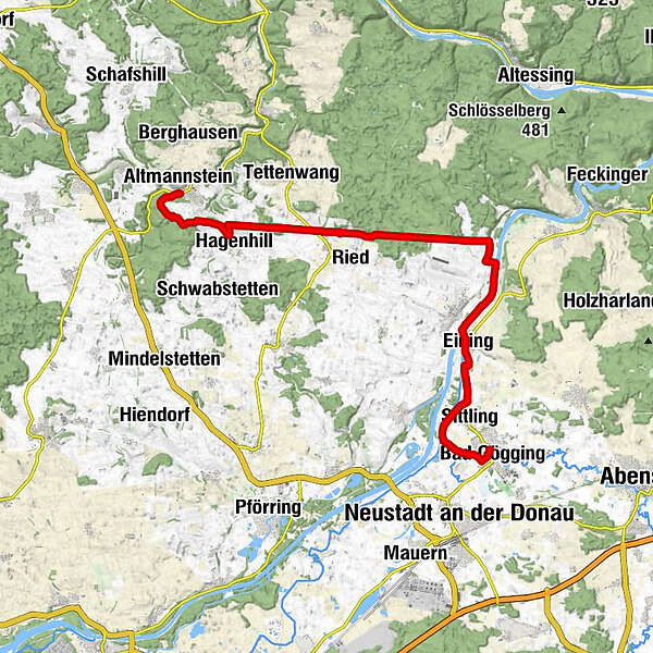
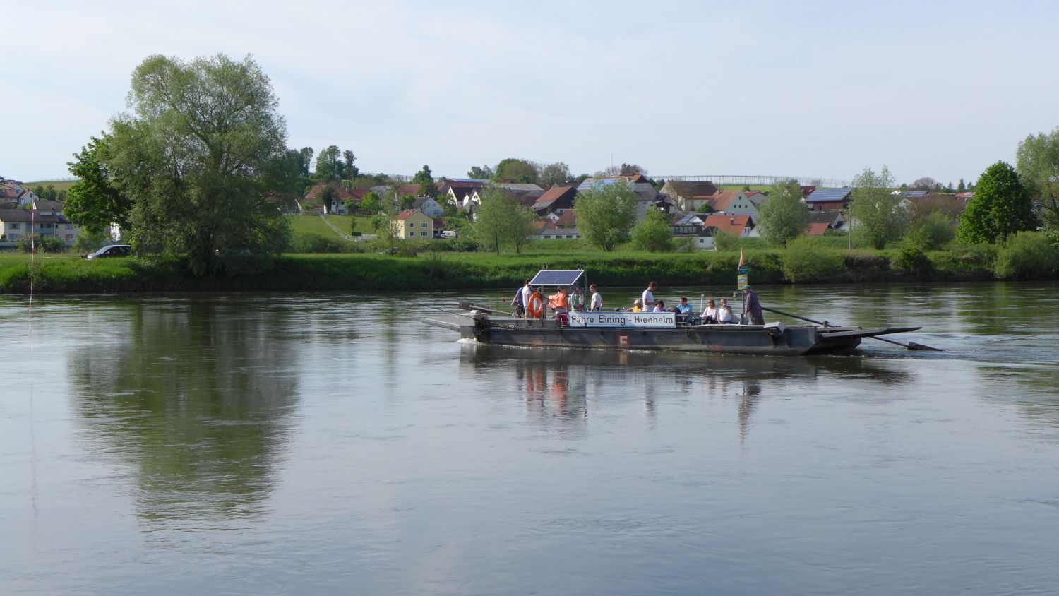
DelphiAltmannstein (389 m)Hagenhill (417 m)3.6 kmRöm. Wachturm (rekonstr.)11.7 kmHienheim15.4 kmAnlegestelle Hienheim15.8 kmAnlegestelle Eining15.9 kmEining16.3 kmBad Gögging21.4 kmSt. Andreas21.6 km
- Best season
-
JanFebMarAprMayJunJulAugSepOctNovDec
- Highest point
- 478 m
- Endpoint
-
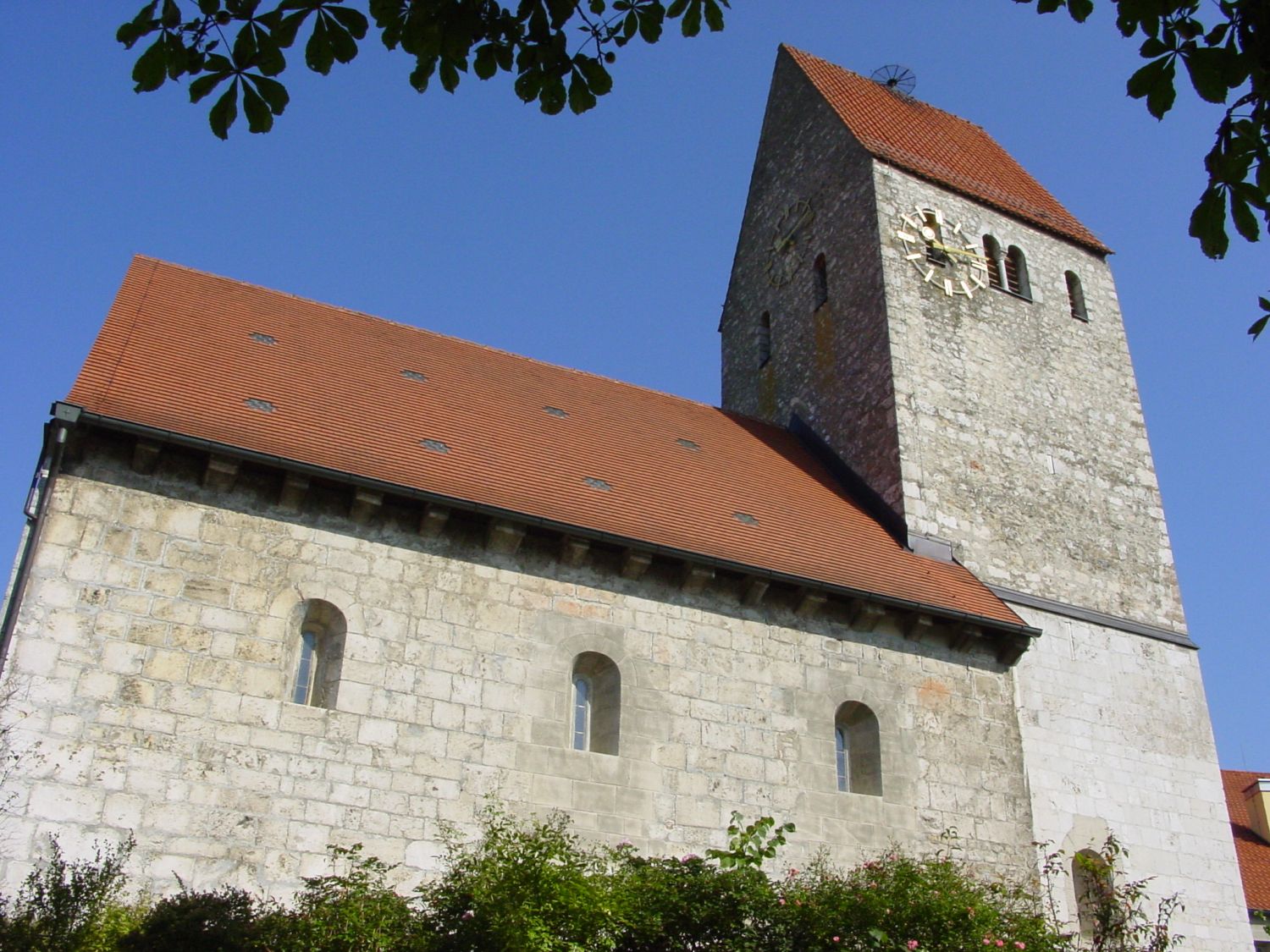
Römisches Museum in der Kirche St. Andreas, Bad Gögging
- Height profile
-
 © outdooractive.com
- Author
-
The tour Deutscher Limeswanderweg: Altmannstein - Bad Gögging is used by outdooractive.com provided.
GPS Downloads


General info
Cultural/Historical
A lot of view
Other tours in the regions
-
Landkreis Kelheim
204
-
Bad Gögging
74