Mindeltal-Radweg - Etappe 1 - Quelle bis Mindelheim

Long distance cycling
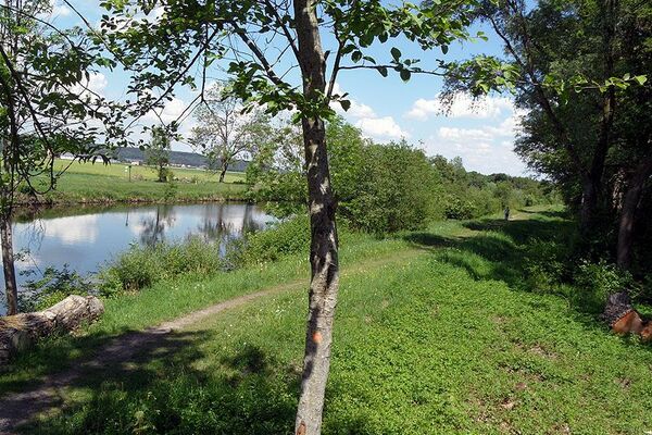
© Kneippland Unterallgäu - Kathrin Rietzler

© Kunstverlag Fink


© Kunstverlag Fink - Fotograf Erwin Reiter

- Brief description
-
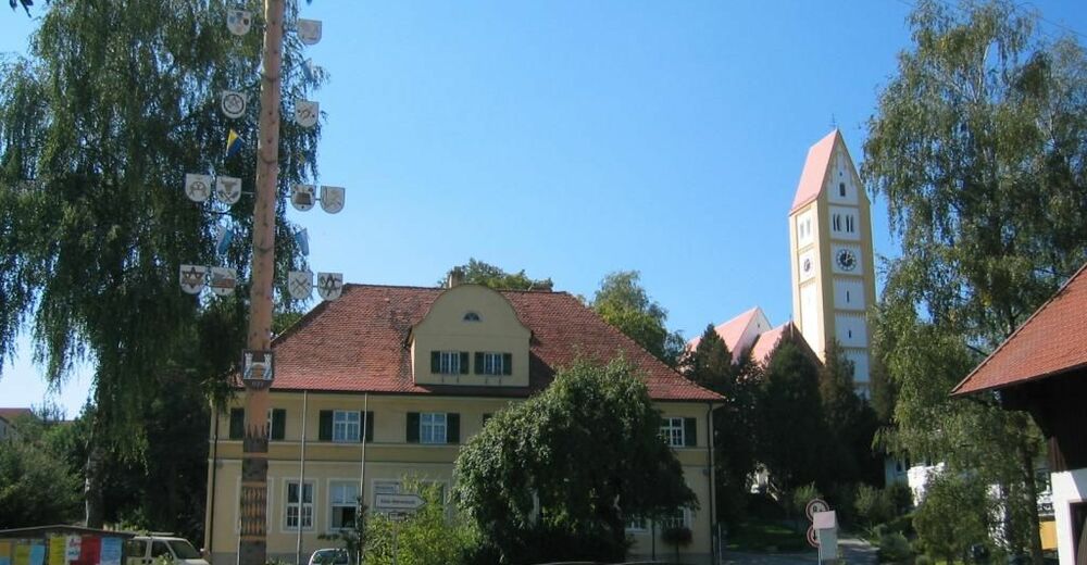
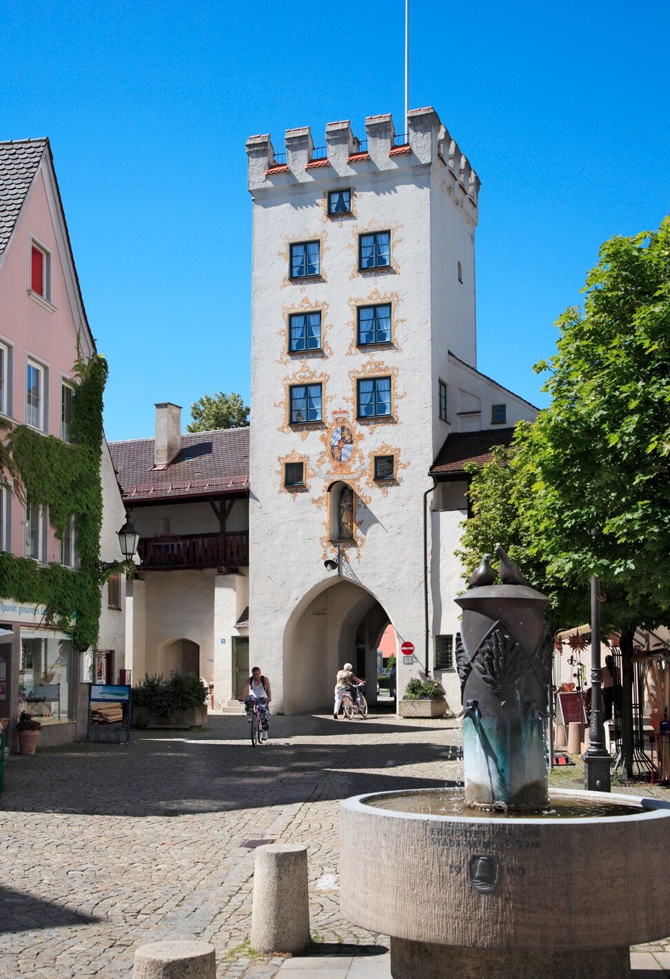
Der Mindeltal-Radweg führt vom Allgäu bis zur Donau. Von der Mindelquelle in der Nähe von Ronsberg bis zur Mindelmündung in die Donau sind es rund 85 km. Abgesehen von ein paar größeren Steigungen im Quellgebiet führt die Route entlang des Flusslaufes immer bequem bergab in Richtung Donau. Eine schöne Zweitagestour mit Etappenort Mindelheim für Familien mit größeren Kindern.
- Difficulty
-
easy
- Rating
-
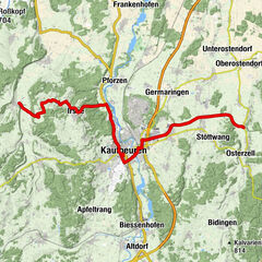
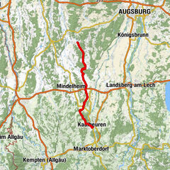
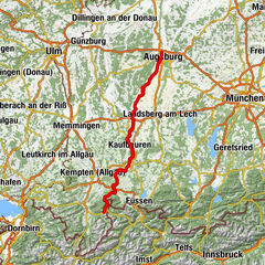
- Route
-
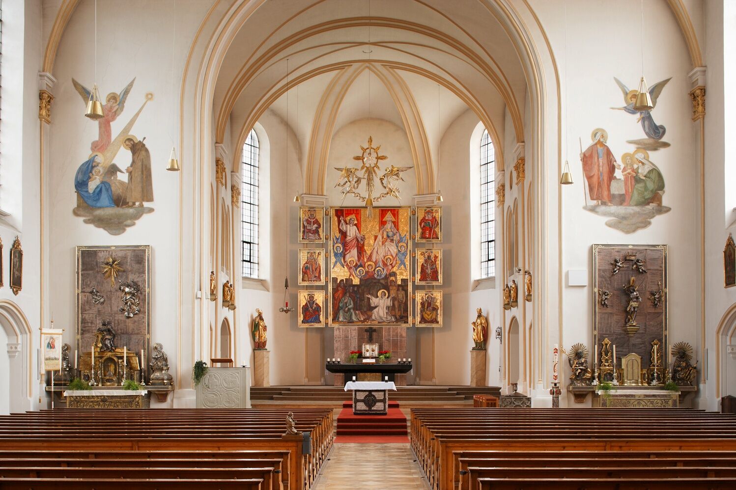
Mindelquelle0.1 kmMindelmühle0.4 kmReichartsried2.6 kmSt. Sebastian2.6 kmSchönlings3.2 kmBayersried4.4 kmBinkenhofen7.0 kmFacklermühle9.8 kmGasthaus zum Schatten15.9 kmDirlewang15.9 kmApfeltrach18.3 kmGernstall19.9 kmStudienkirche des Maristenkollegs20.8 kmPaulus-Gemeinde Mindelheim21.4 kmJesuitenkirche21.9 kmKlosterkapelle Herz Jesu21.9 kmMindelheim22.0 km
- Best season
-
JanFebMarAprMayJunJulAugSepOctNovDec
- Highest point
- 794 m
- Endpoint
-
Mindelheim
- Height profile
-
 © outdooractive.com

- Author
-
The tour Mindeltal-Radweg - Etappe 1 - Quelle bis Mindelheim is used by outdooractive.com provided.
GPS Downloads


General info
Refreshment stop
Cultural/Historical
Flora
Other tours in the regions
-
Allgäu
44
-
Unterallgäu
21
-
Unteregg
5