


- Difficulty
-
easy
- Rating
-
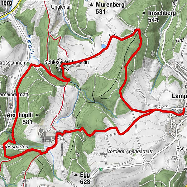
- Route
-
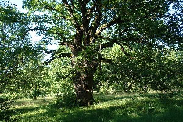
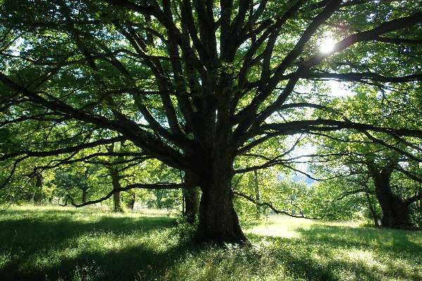
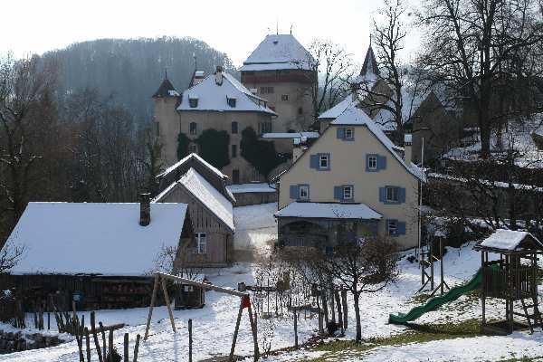
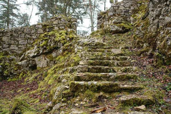
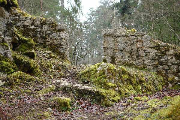
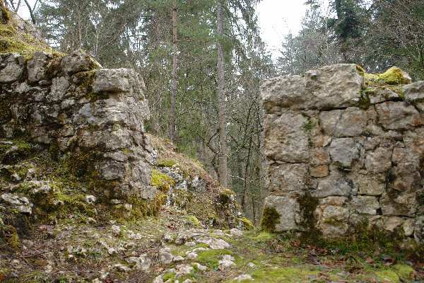
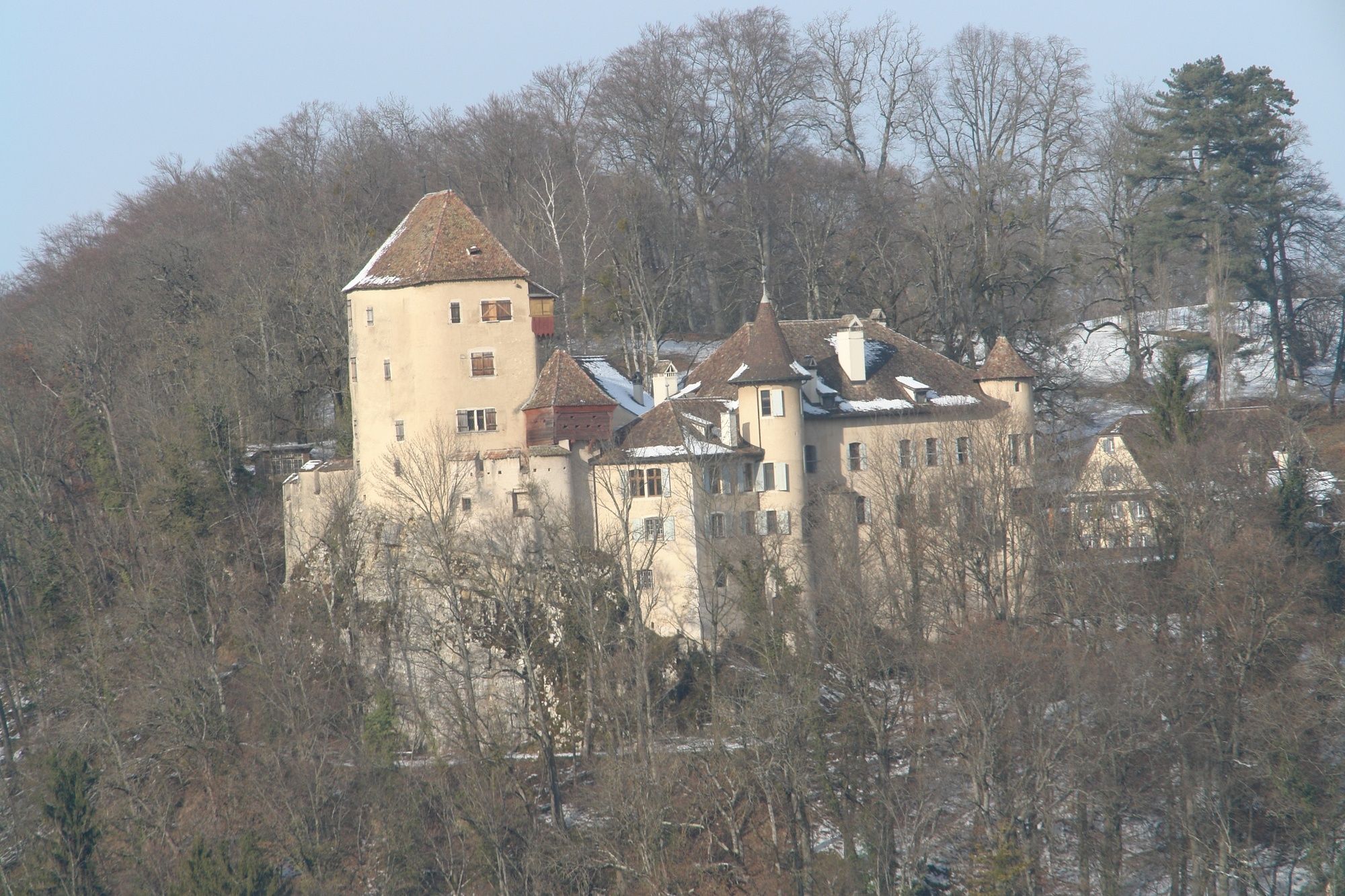
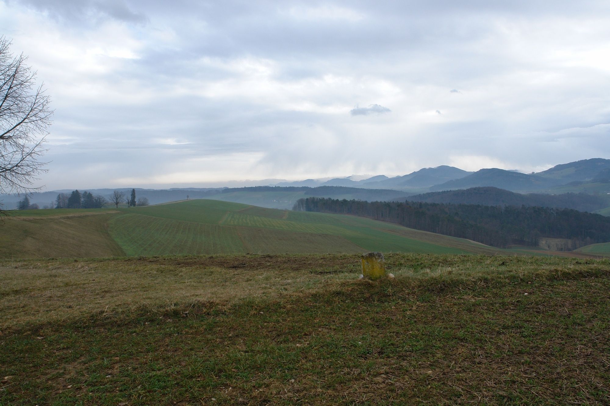
LampenbergReblaube0.1 kmStälzler (568 m)1.1 kmSchloss Wildenstein3.2 kmSormattfall3.6 km
- Highest point
- 568 m
- Height profile
-
 © outdooractive.com


- Author
-
The tour Zum Stahl der Steinzeit is used by outdooractive.com provided.
GPS Downloads


Other tours in the regions
-
Solothurn und Region
1456
-
Fünflibertal
937
-
Bubendorf
386