


- Difficulty
-
easy
- Rating
-
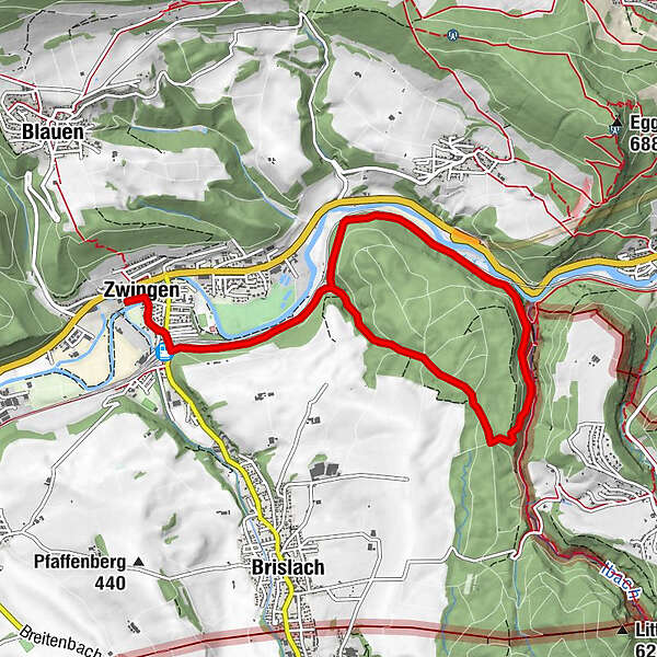
- Route
-
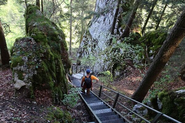
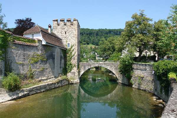
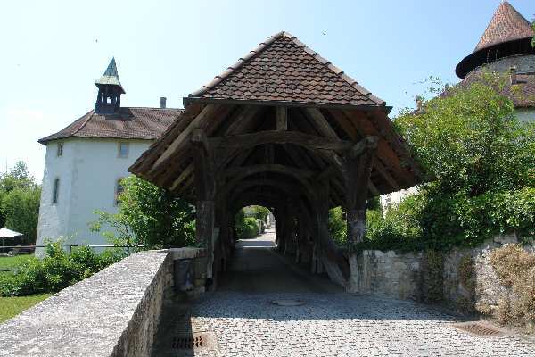
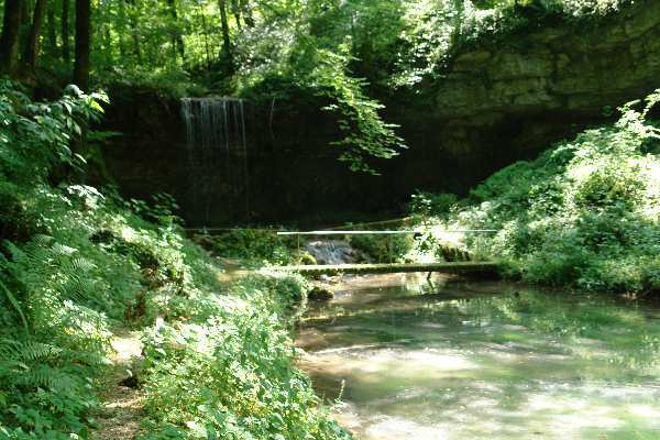
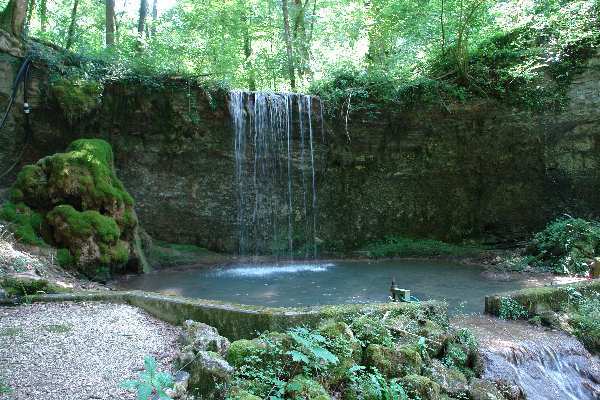
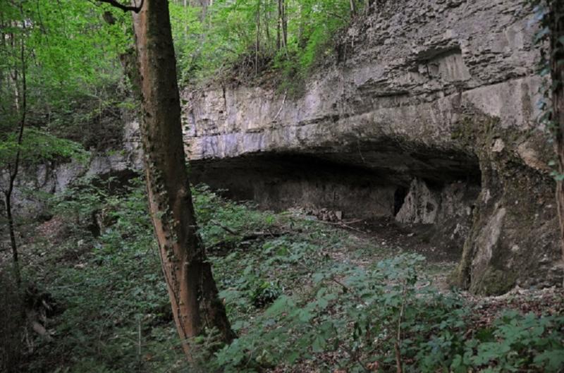
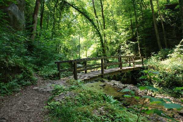
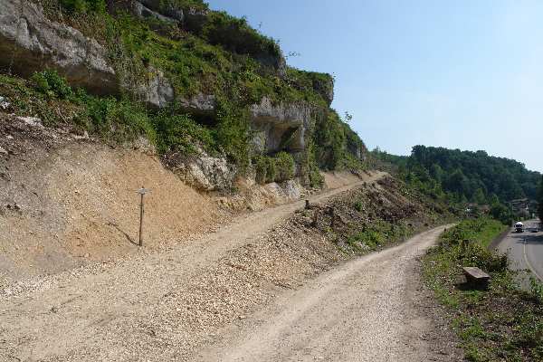
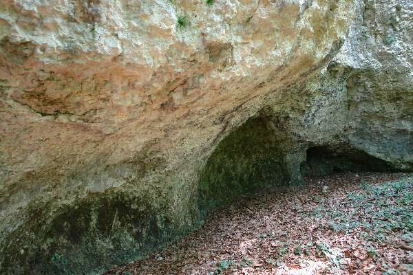
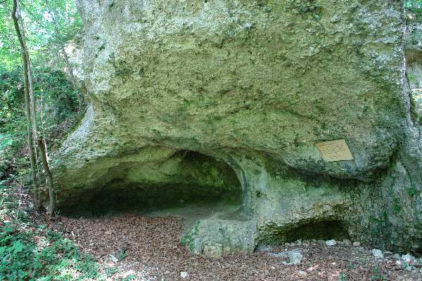
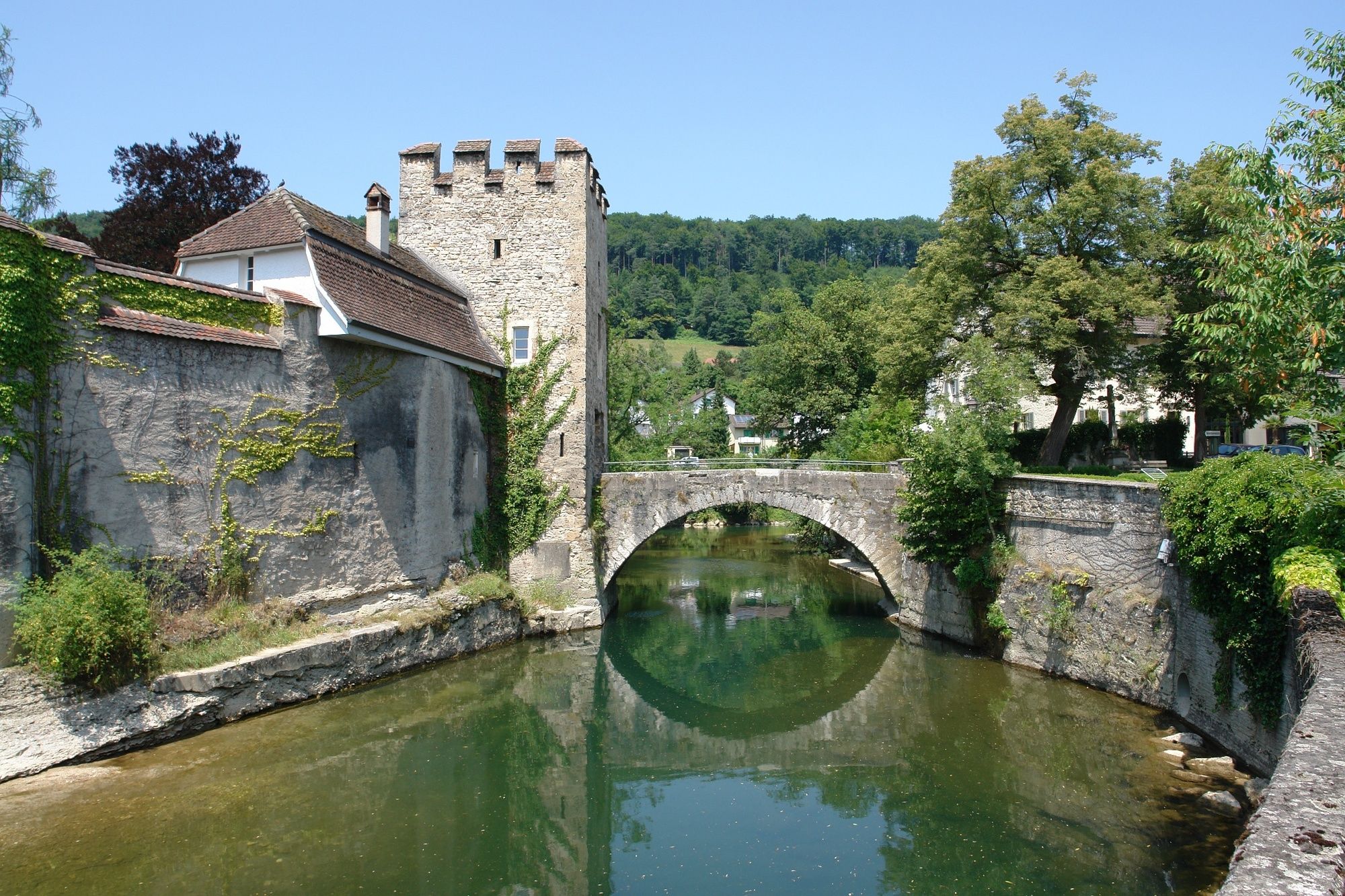
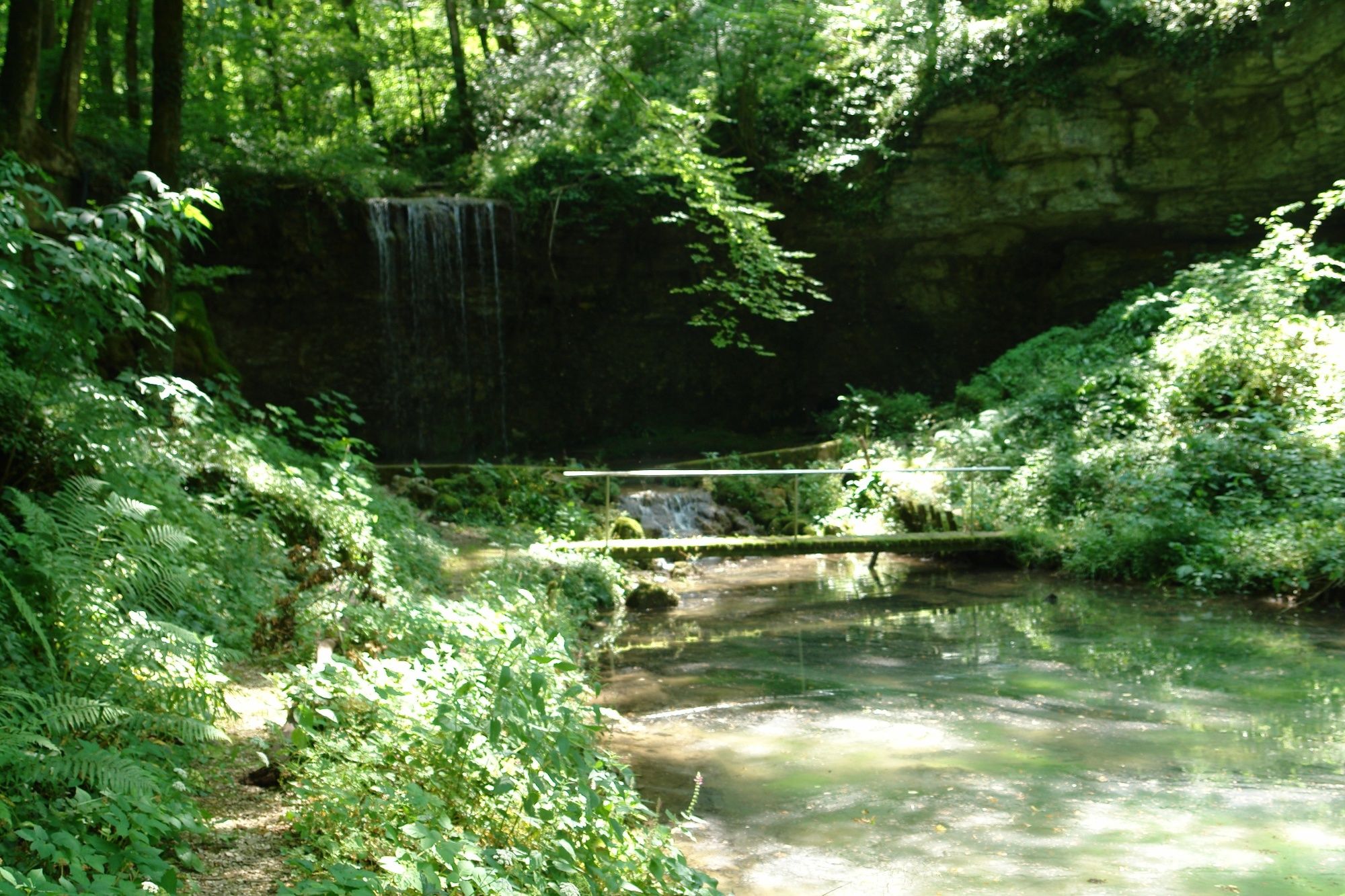
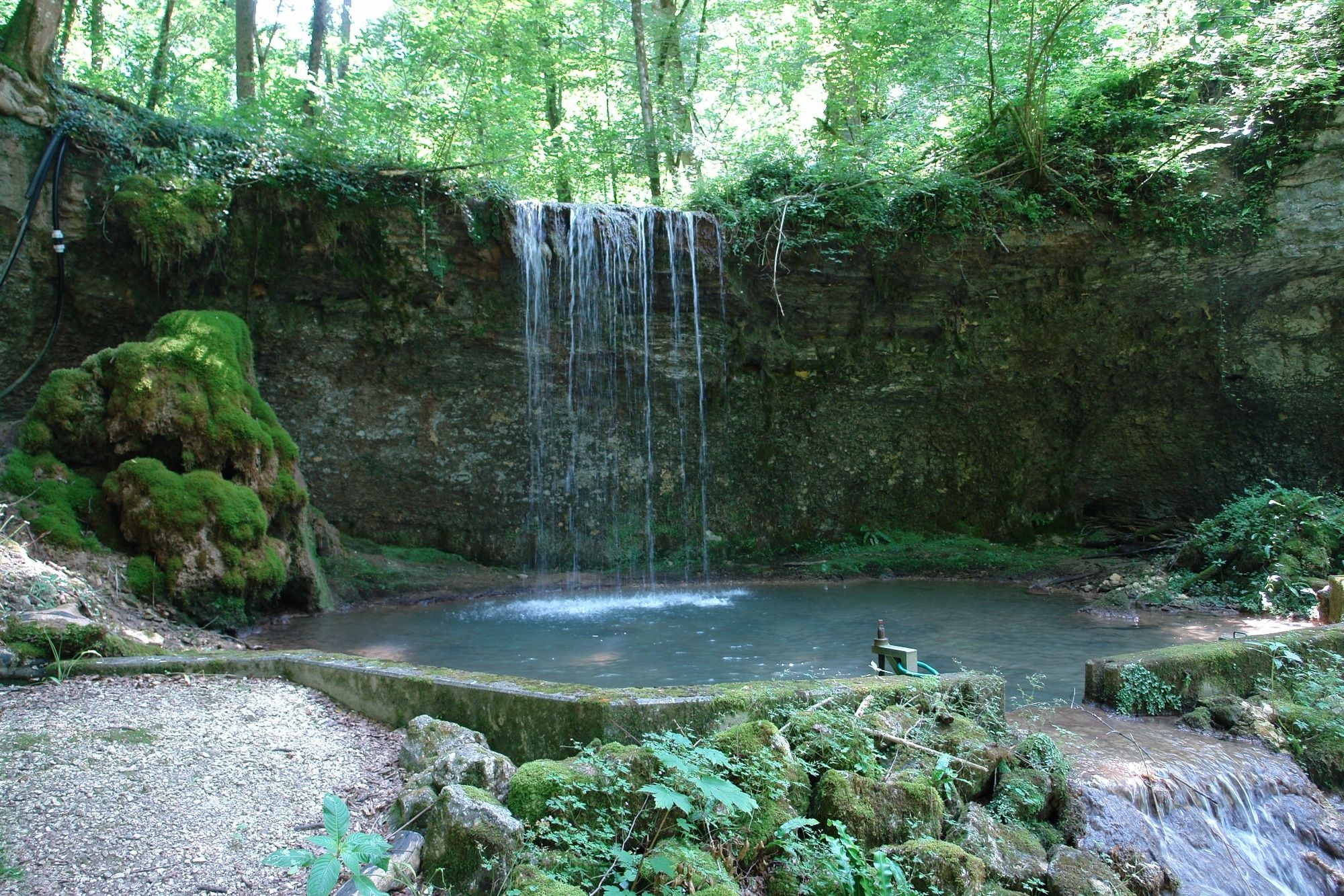
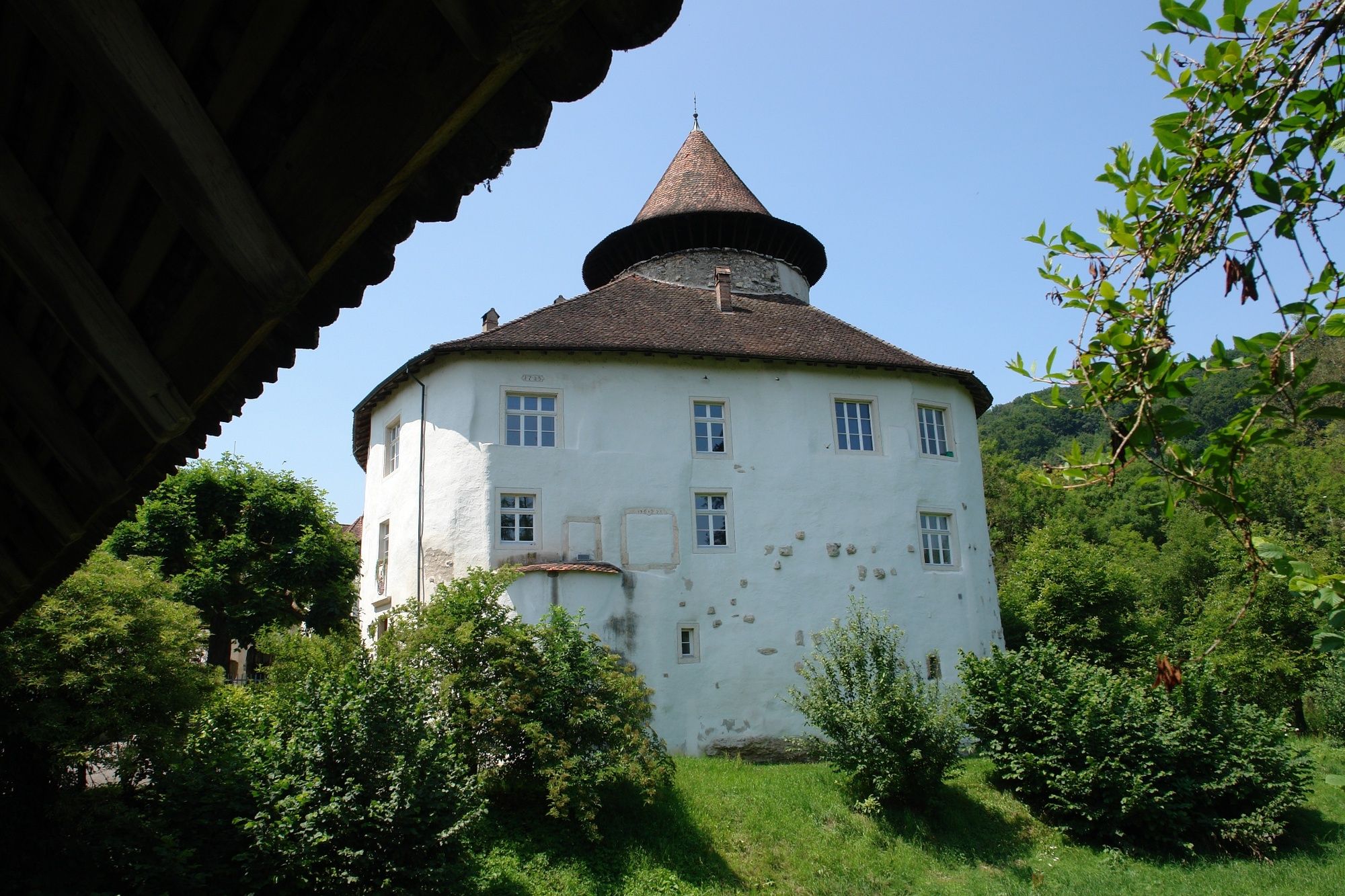
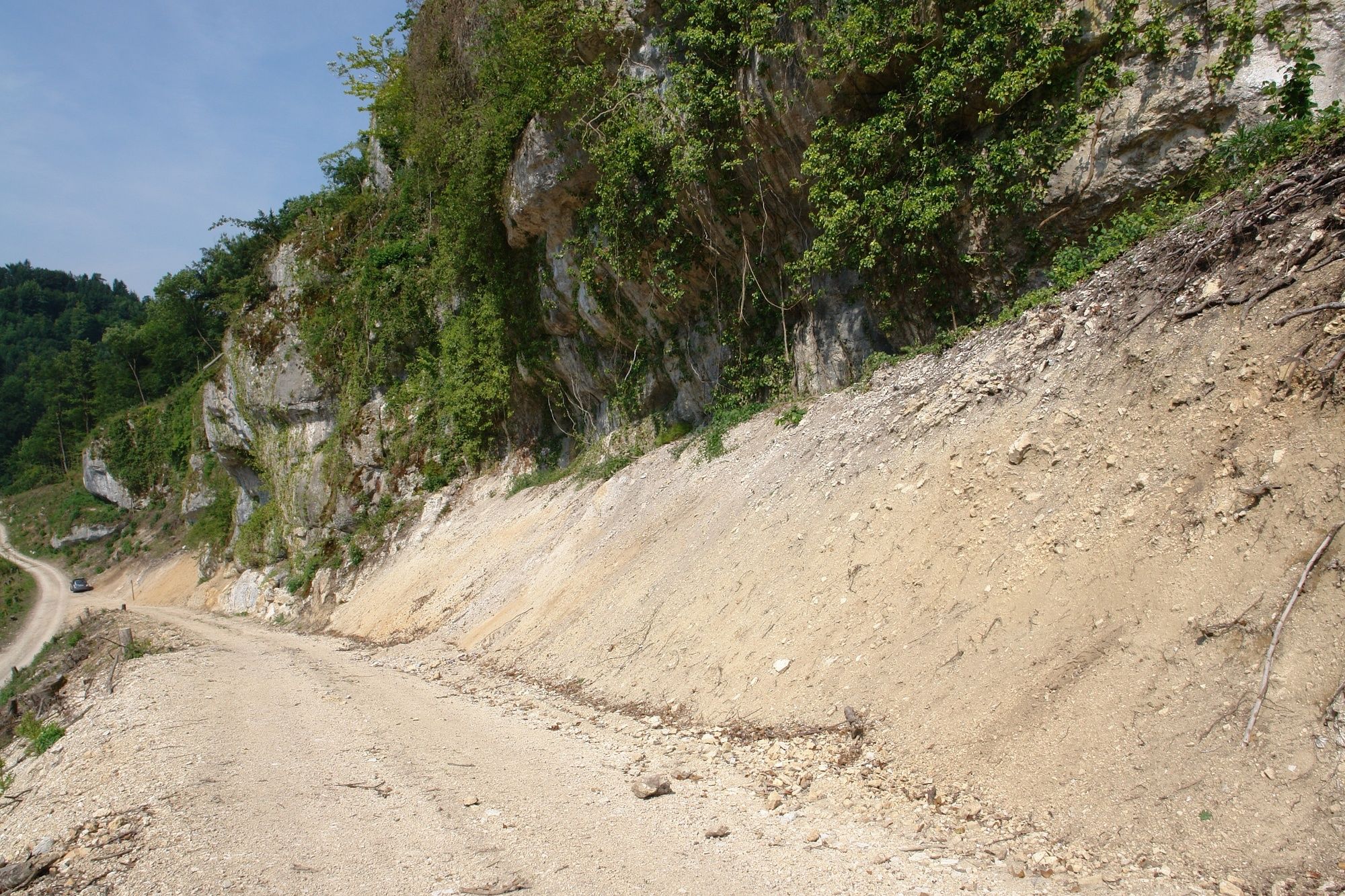
Zwingen0.1 kmZwingen (347 m)0.6 kmBättlerloch2.6 km
- Highest point
- 436 m
- Height profile
-
 © outdooractive.com


- Author
-
The tour Zwingen - Chaltbrunnental is used by outdooractive.com provided.
GPS Downloads


Other tours in the regions
-
Solothurn und Region
1454
-
Schwarzbubenland
828
-
Zwingen
190