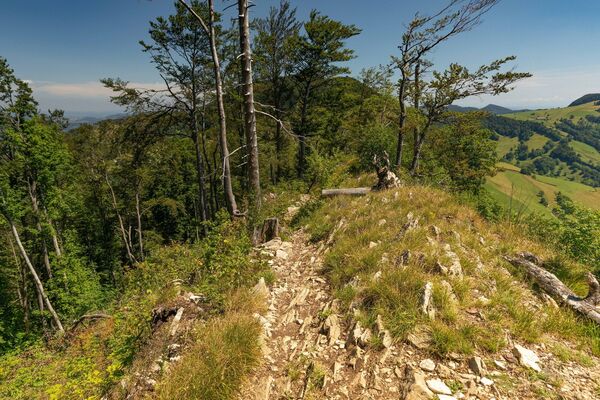

© Baselland Tourismus - Bettina Gysin

© Baselland Tourismus - Bettina Gysin

© Baselland Tourismus - Bettina Gysin

© Baselland Tourismus - Bettina Gysin

© Baselland Tourismus - Bettina Gysin

© Baselland Tourismus - Bettina Gysin

© Baselland Tourismus - Bettina Gysin

© Baselland Tourismus - Bettina Gysin

© Baselland Tourismus - Bettina Gysin

© Baselland Tourismus - Bettina Gysin


- Brief description
-
Büchelweg die historische Rundwanderung
- Route
-
Pratteln (296 m)0.6 kmReformierte Kirche1.0 kmGeisswald3.1 kmAdler4.5 kmHof Schauenburg5.9 kmHof Mayenfels7.7 km
- Highest point
- 493 m
- Height profile
-
 © outdooractive.com


- Author
-
The tour Wanderung Büchel is used by outdooractive.com provided.
GPS Downloads


Other tours in the regions
-
Solothurn und Region
1453
-
Baselland
777
-
Pratteln
288