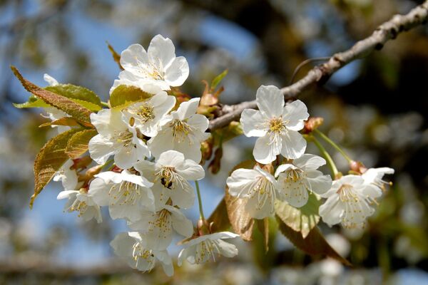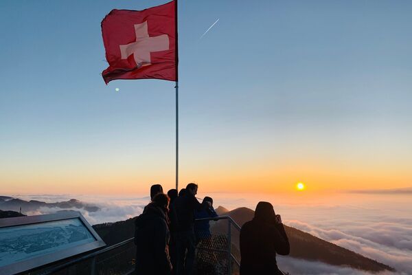

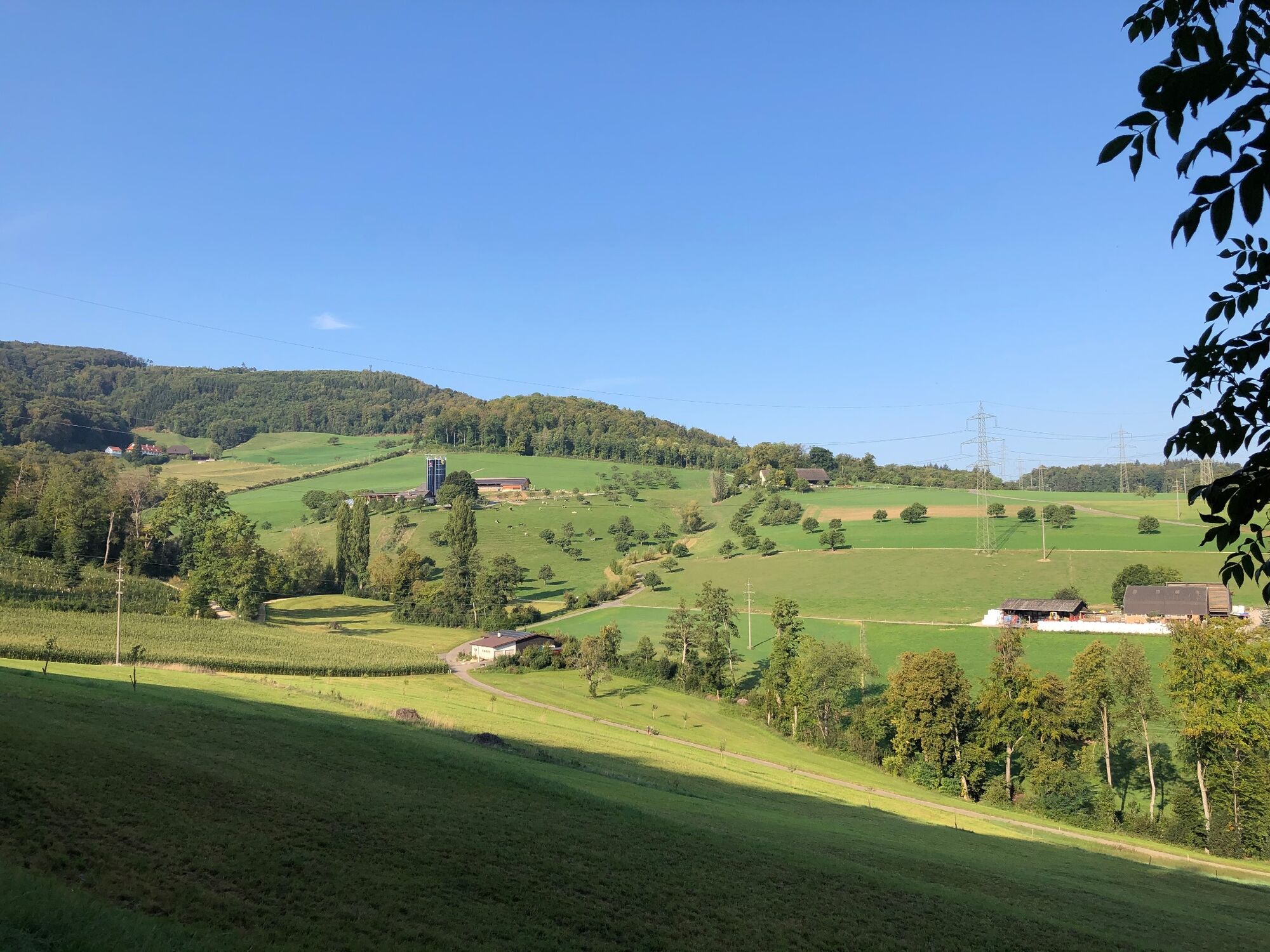
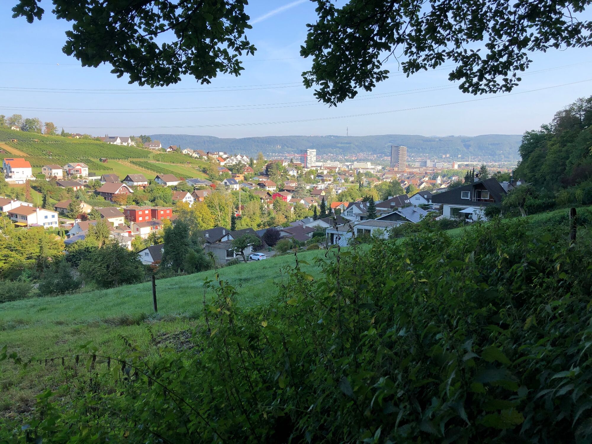
© Baselland Tourismus - Bettina Gysin

© Baselland Tourismus - Bettina Gysin

© Baselland Tourismus - Bettina Gysin

© Baselland Tourismus - Bettina Gysin

© Baselland Tourismus - Bettina Gysin

© Baselland Tourismus - Bettina Gysin

- Brief description
-
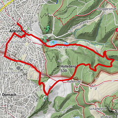
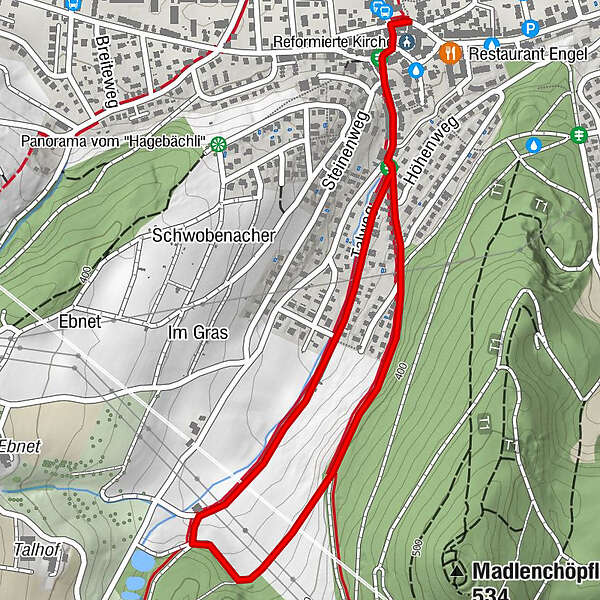
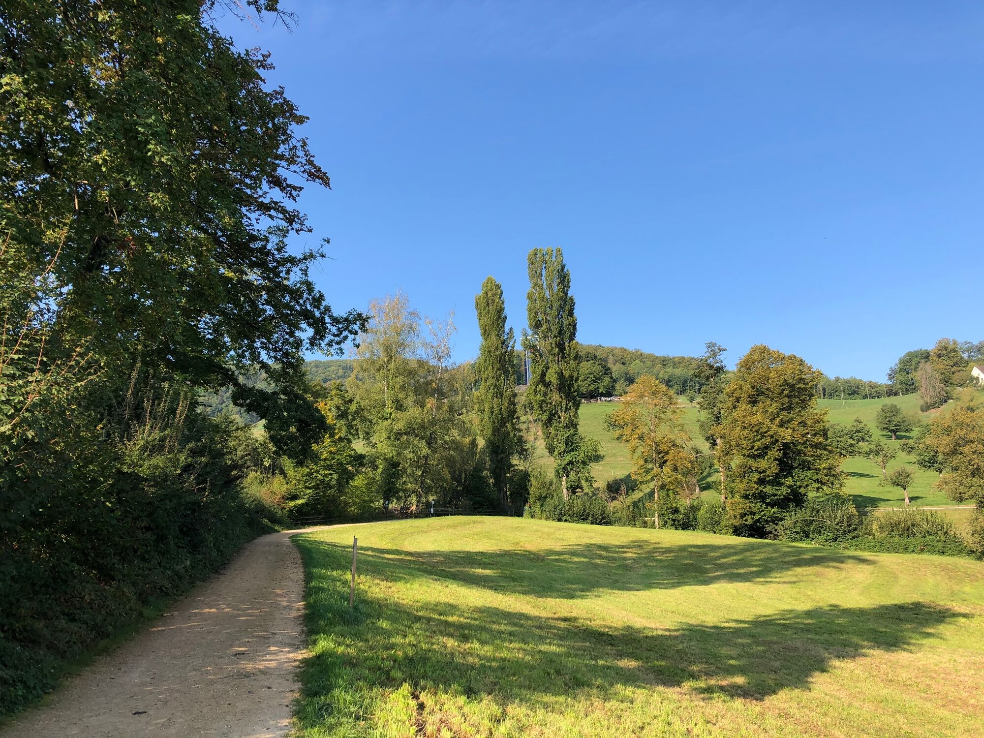
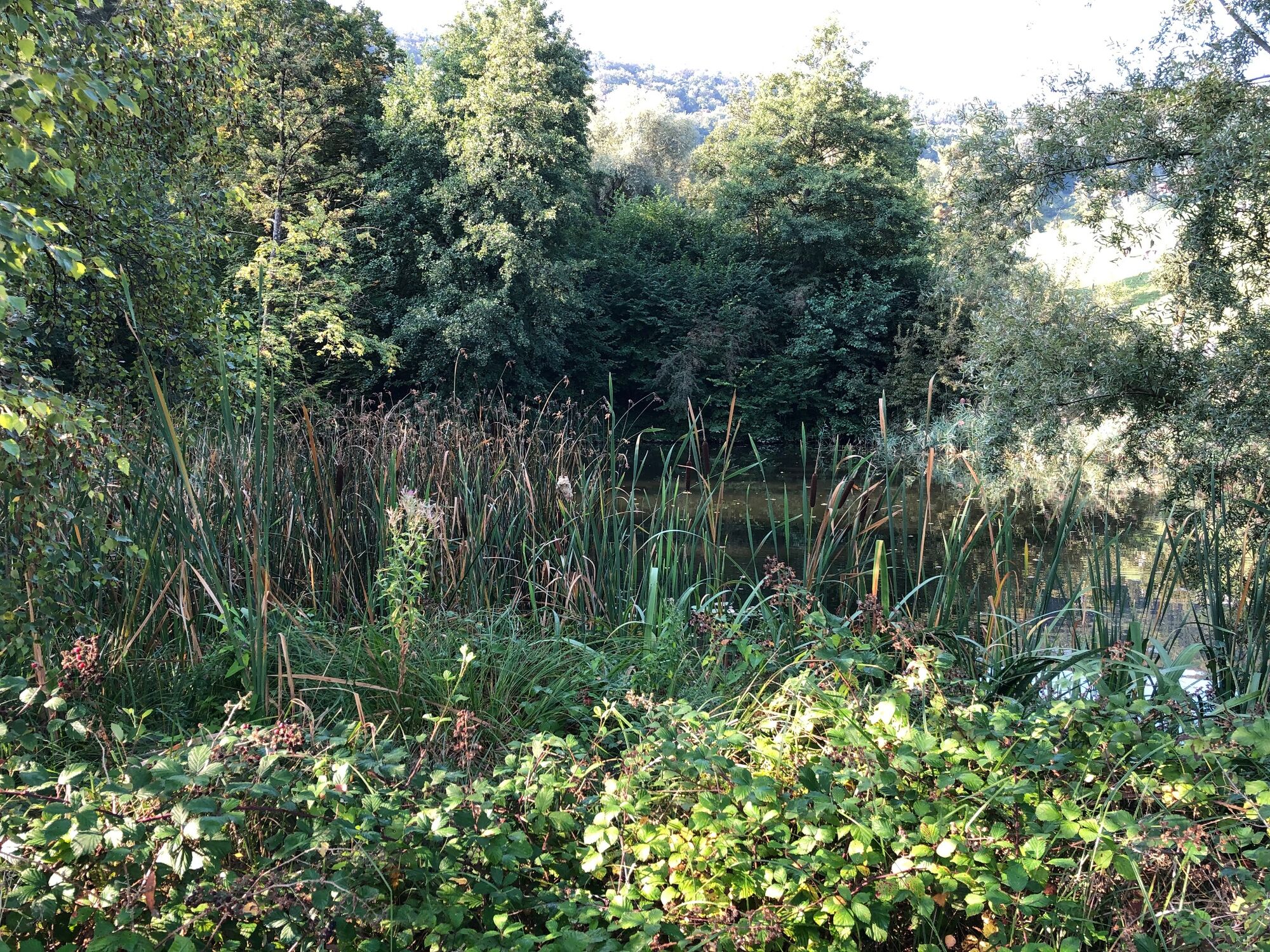
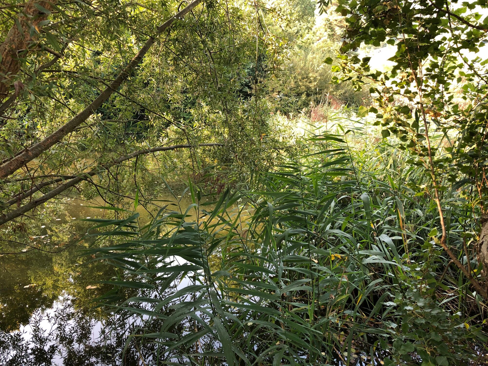
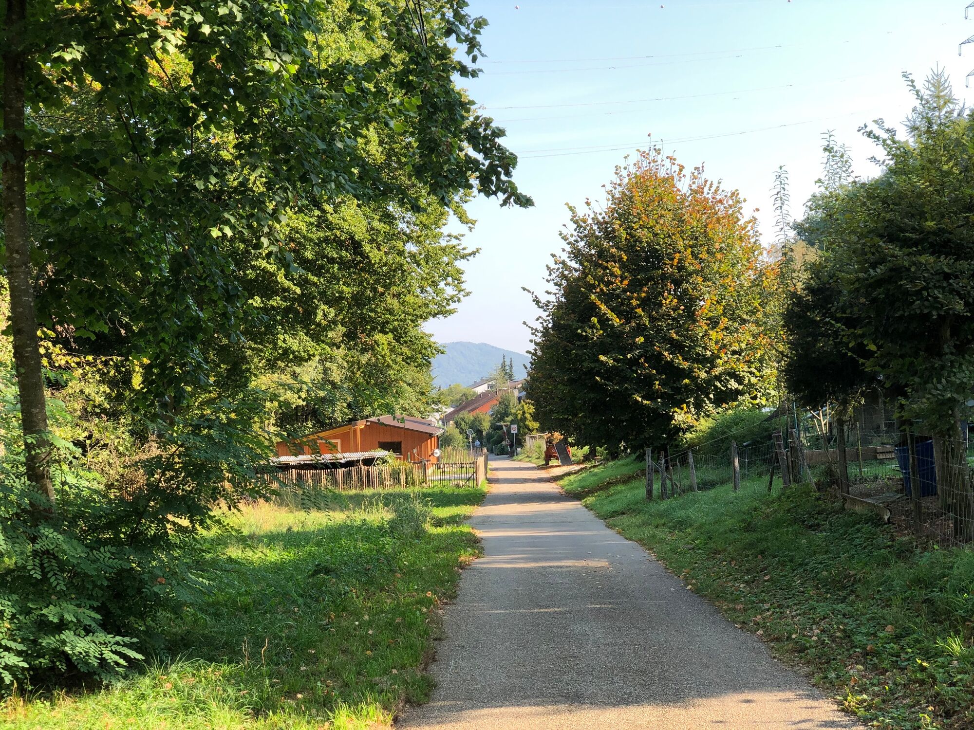
Talweg – die liebliche Rundwanderung
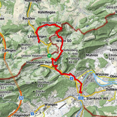
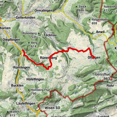
- Route
-
Reformierte Kirche0.1 kmReformierte Kirche2.7 kmPratteln (296 m)2.8 km
- Best season
-
JanFebMarAprMayJunJulAugSepOctNovDec
- Highest point
- 376 m
- Height profile
-
 © outdooractive.com
- Author
-
The tour Rundwanderung Talweiher is used by outdooractive.com provided.
GPS Downloads


Other tours in the regions
-
Solothurn und Region
1453
-
Baselland
778
-
Pratteln
288