- Brief description
-
The shortest of the three circuits in Nová Baňa which leads to Stará Huta Waterfall. The circuit starts and ends directly in the town of Nová Baňa. It is suitable for intermediate bikers.
- Difficulty
-
medium
- Rating
-
- Starting point
-
Coop Jednota shopping centre - Hoťapo
- Route
-
Königsberg (509 m)0.4 kmTomanovci1.4 kmStará Huta6.9 kmJasíková skala7.8 kmStarohutský vodopád7.8 kmŽobrácka studnička12.2 kmKrížne cesty13.3 kmCúdenica15.3 kmViničný bok15.8 kmŠuflek16.6 kmFarská lúka16.9 kmNarodenia Panny Márie17.7 kmReštaurácia v Uličke17.9 kmPizzeria Della Plazza18.0 kmKönigsberg (509 m)18.2 kmPizzeria Riallto18.3 kmsvätej Alžbety18.5 km
- Best season
-
JanFebMarAprMayJunJulAugSepOctNovDec
- Description
-
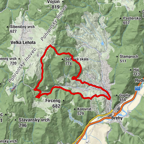
There are three cycle circuits in Nová Baňa. Above the waterfall by bike is the shortest one, 18.7 km long, moderately demanding. Also untrained cyclists can complete it without any problems, and they will not be discouraged by the hills here and there. The route is marked and passable in both directions. It takes approximately 2.5 hours.
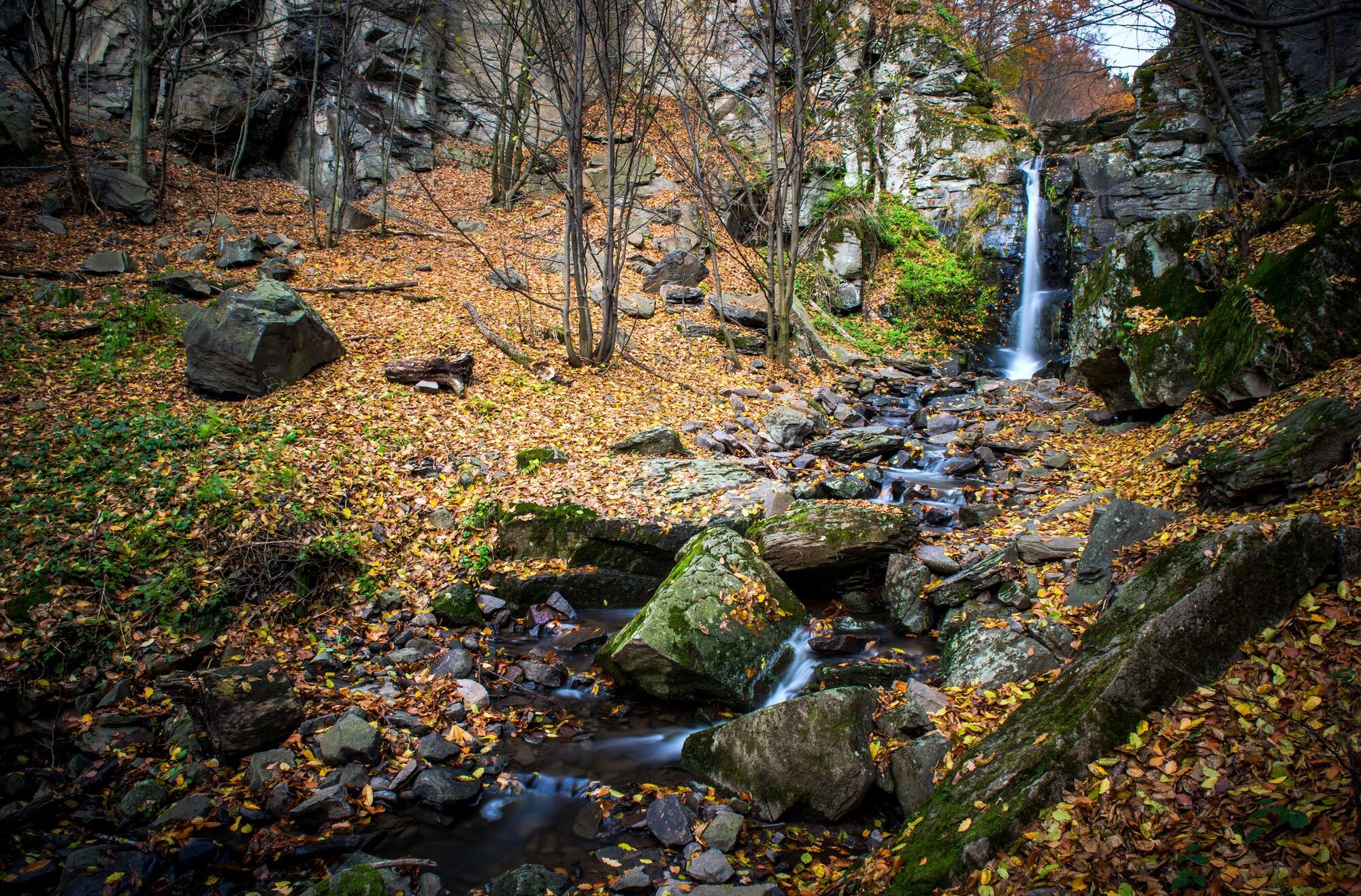
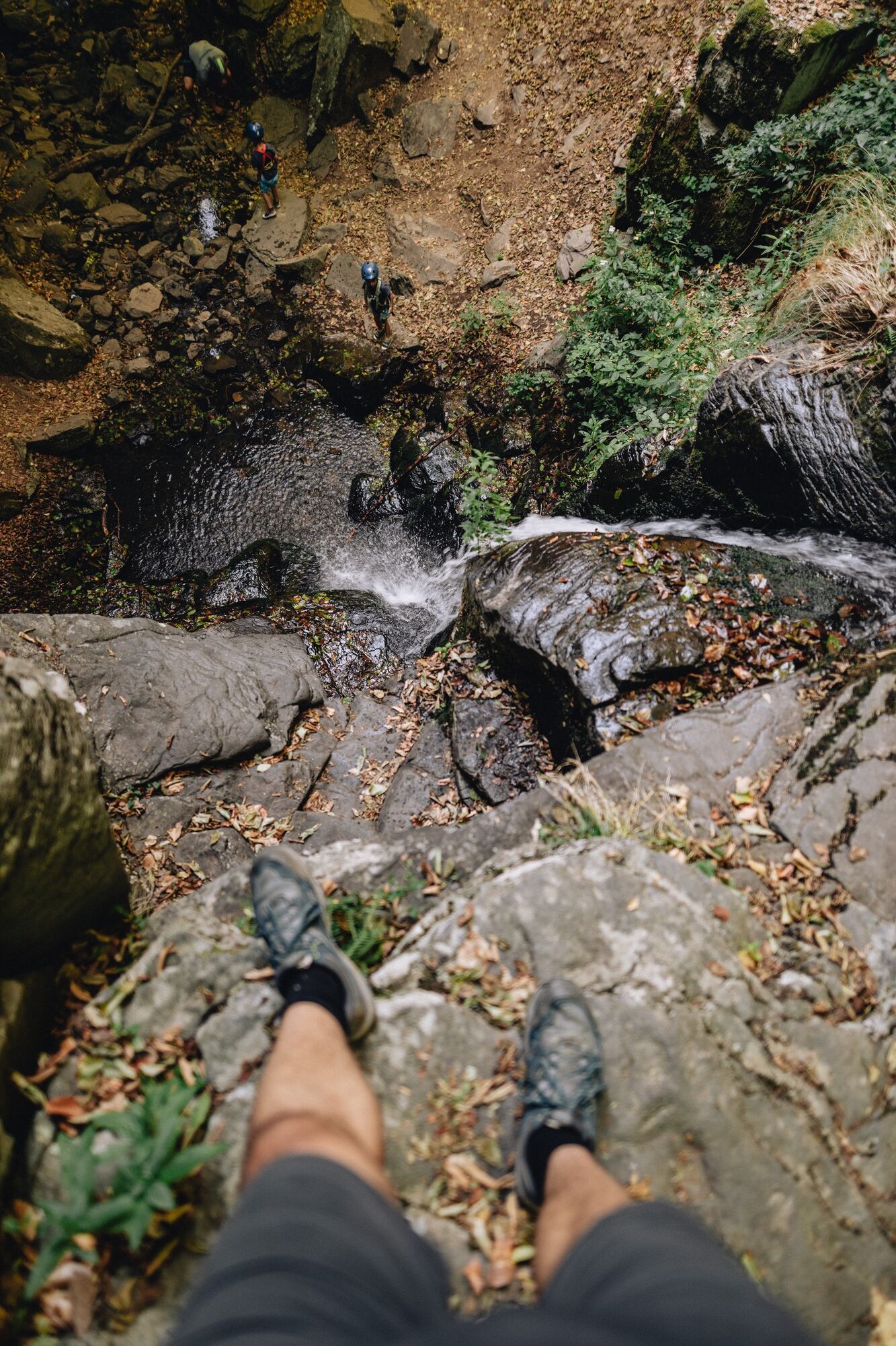
The goal is to reach Stará Huta Waterfall, the fourth highest waterfall in Slovakia.
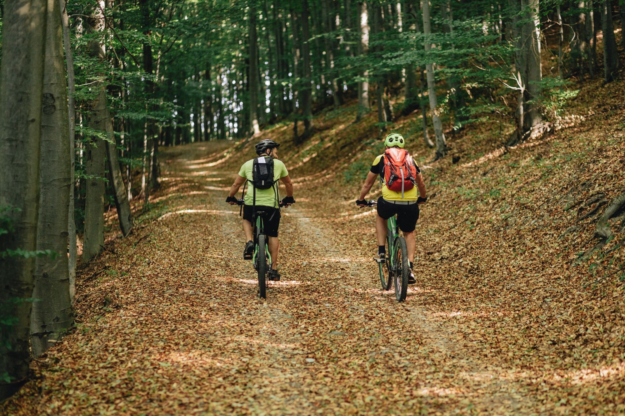
The recommended direction is: Záhrb - Hájenka - Stará Huta - Chotár - Sedlová Road - Viničná Road - Borina. The cycle route leads along forest asphalt roads and the section to Stará Huta Waterfall leads on hiking trails. It also contains one more demanding descent at the end.
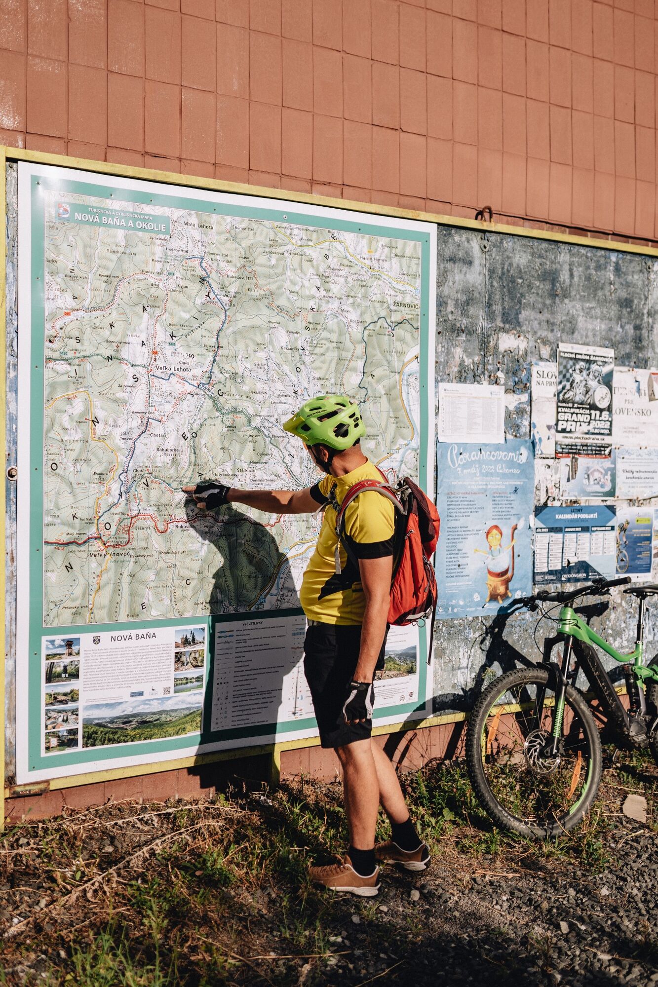
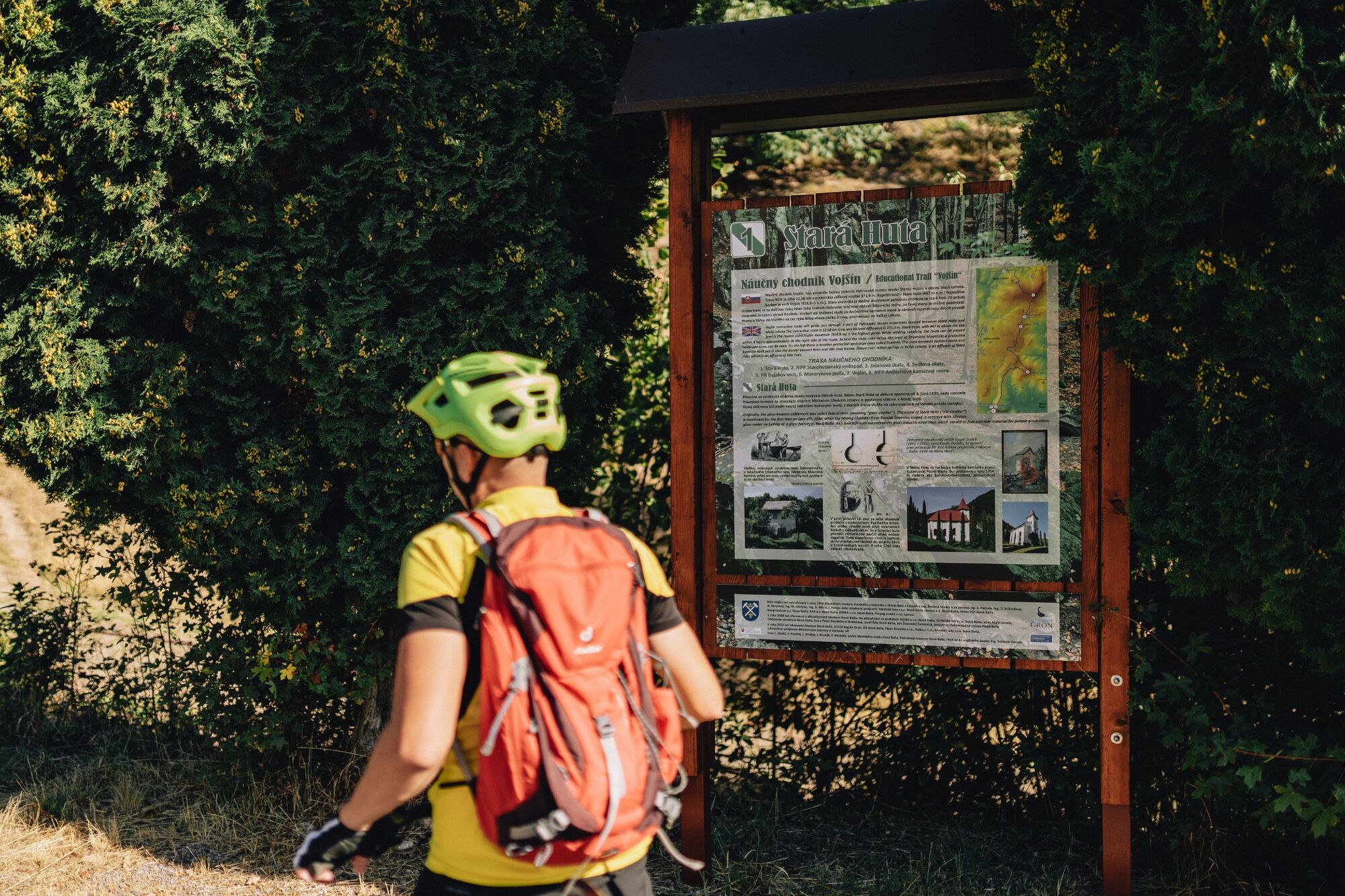
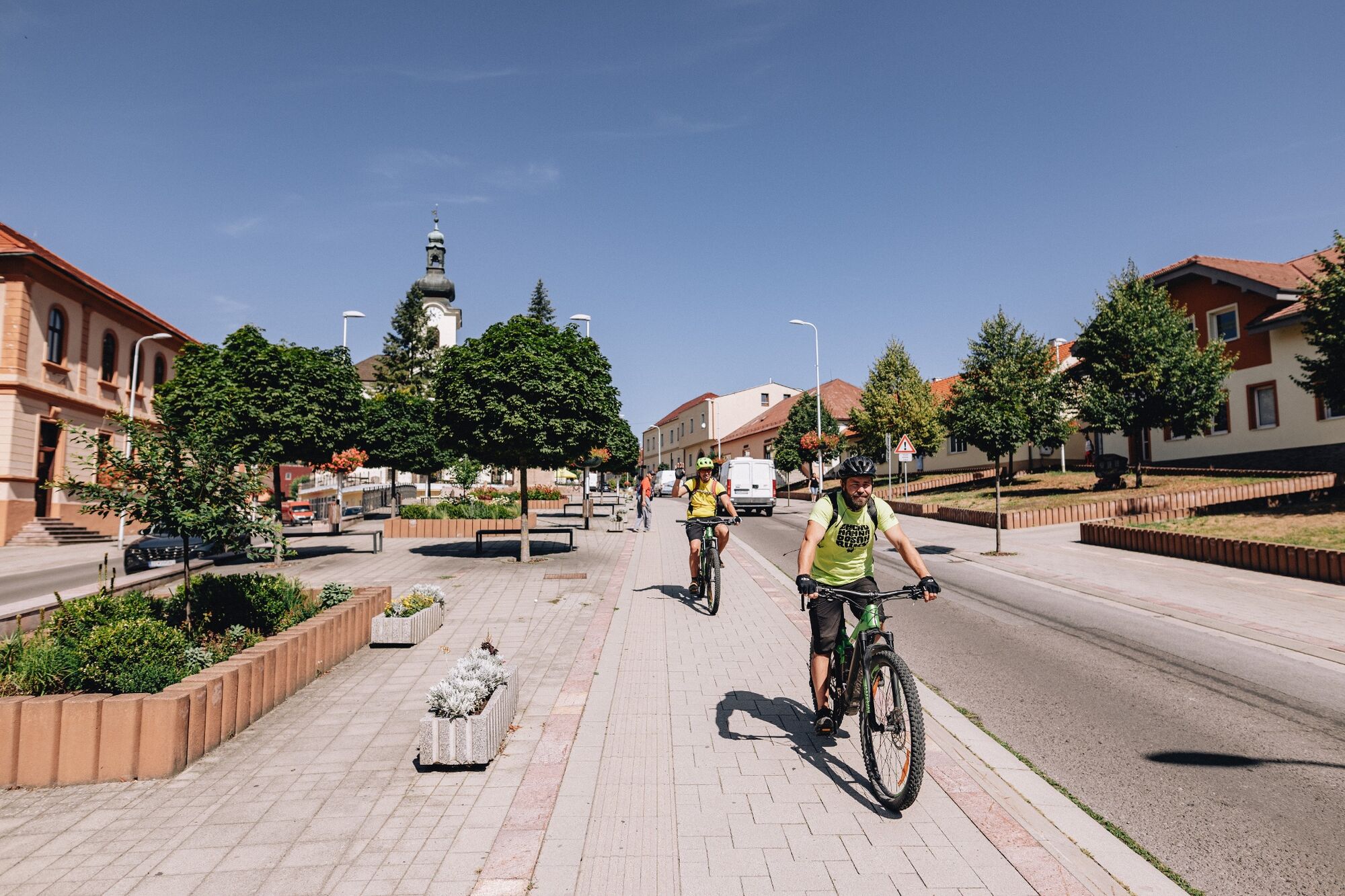
The route starts and ends at one place - in the centre of Nová Baňa (St. Elizabeth's Square). There is a map in the triangle-shaped car park, next to the Cyklosport 3000 shop.
- Directions
-
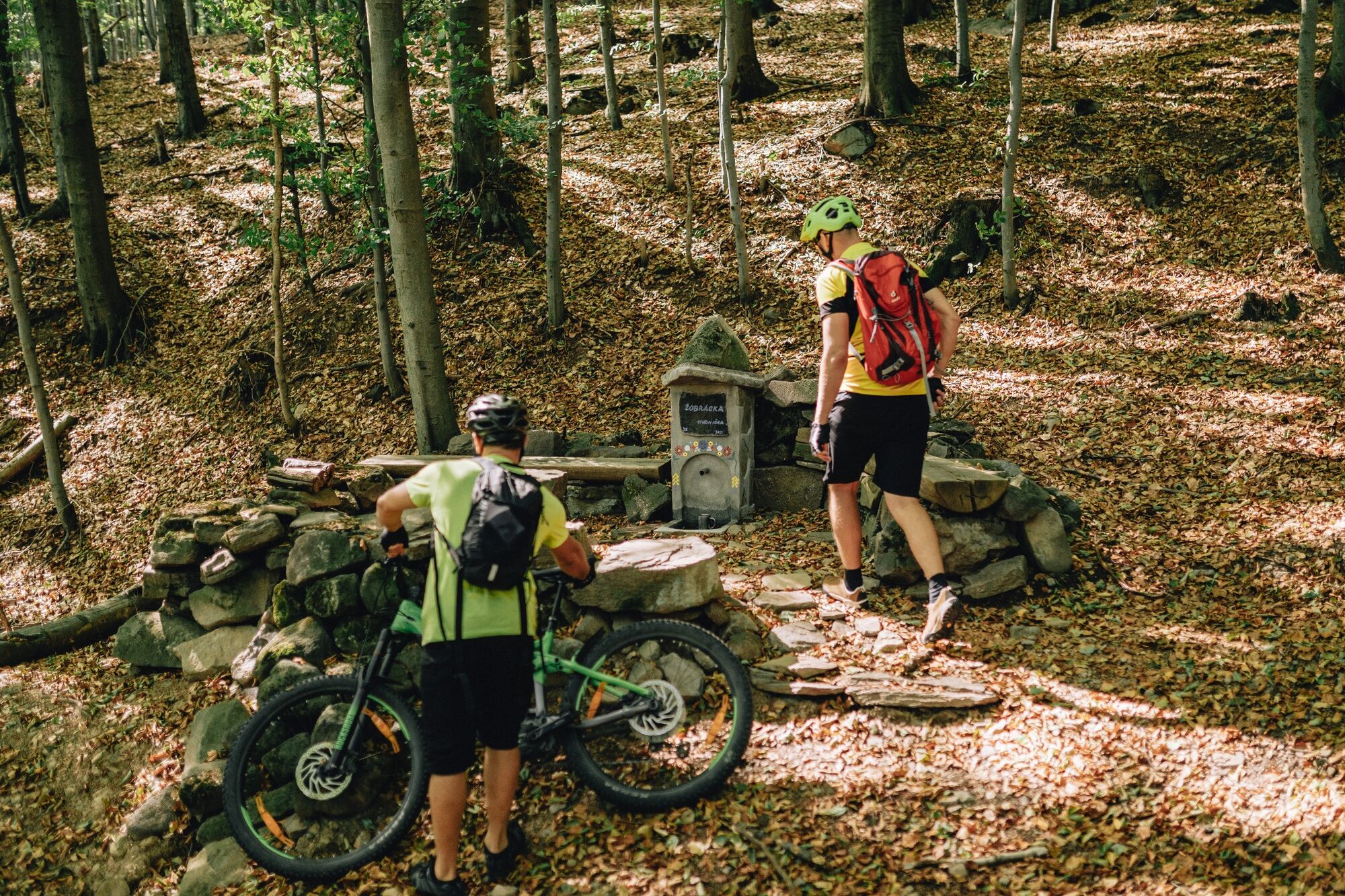
The start is at the Coop Jednota shopping centre (so-called Hoťapo). You will follow the red signs as far as the cycle signpost to Záhrb. Here, leave the asphalt road and turn right to Stará Huta. The forest road goes almost along the contour line and after a while it reaches Hájenka. Stará Huta Brook flows on the right hand side. You will ascend through its valley below Vráblik´s Rock along a forest road to Stará Huta. The route continues by a descent to the main road and after a short ascent on the asphalt road it reaches Vojšín Nature Trail with a turn to Stará Huta Waterfall (National Natural Monument). It is necessary to push a bike a little way to the waterfall, as it is a hiking trail, but it is worth the visit.
Then return to the main road and continue right on the green cycle route. Just above Stará Huta, you will leave the asphalt road, go past the barrier and ascend above Stará Huta Waterfall. The journey continues with a pleasant ascent through the valley of Sklený Brook to Chotár. Here the green circuit meets the blue one and both continue with a technically demanding descent down the Saddle Road (Sedlová cesta). Below Viničný Hill, turn right and you will ride along the contour line in a beautiful mountain environment. After a while, the route returns to civilisation on Viničná Road, followed by a descent down the asphalt road in Borina. At the end, it continues through the town past the Parish Church of the Nativity of the Virgin Mary and heads to the Freedom Square.
The cycle trip takes about 2.5 hours.
- Highest point
- 718 m
- Endpoint
-
Stará Huta Waterfall
- Height profile
-
 © outdooractive.com
 - Tips
-
Seeing Stará Huta Waterfall, the fourth highest waterfall in Slovakia, is definitely worth a few metres of pushing the bike along the hiking trail.
- Author
-
The tour Nová Baňa - Above the waterfall by bike is used by outdooractive.com provided.