
© Spanisches Fremdenverkehrsamt - FFE-Vías Verdes
© Spanisches Fremdenverkehrsamt - FFE-Vías Verdes
© Spanisches Fremdenverkehrsamt - FFE-Vías Verdes

© Spanisches Fremdenverkehrsamt - FFE-Vías Verdes

© Spanisches Fremdenverkehrsamt - FFE-Vías Verdes

© Spanisches Fremdenverkehrsamt - FFE-Vías Verdes
Tour data
28.87km
39
- 128m
220hm
139hm
02:05h

Spanisches Fremdenverkehrsamt
- Brief description
-
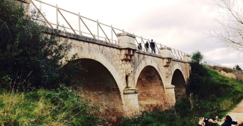
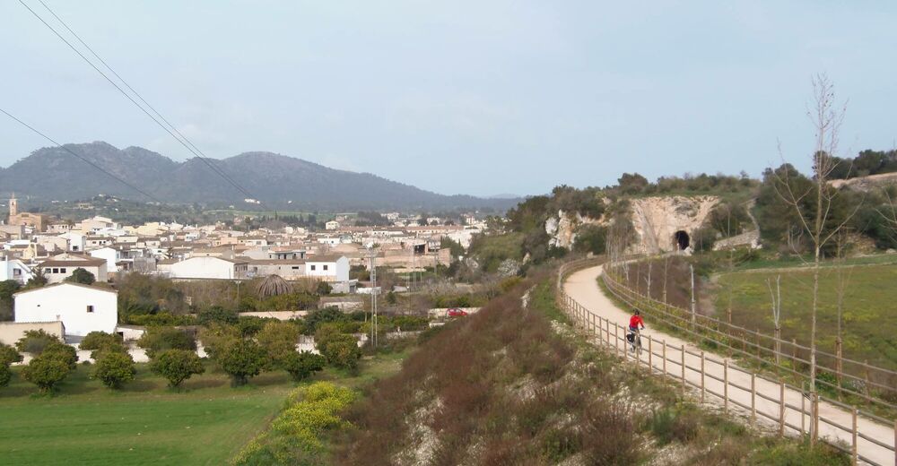
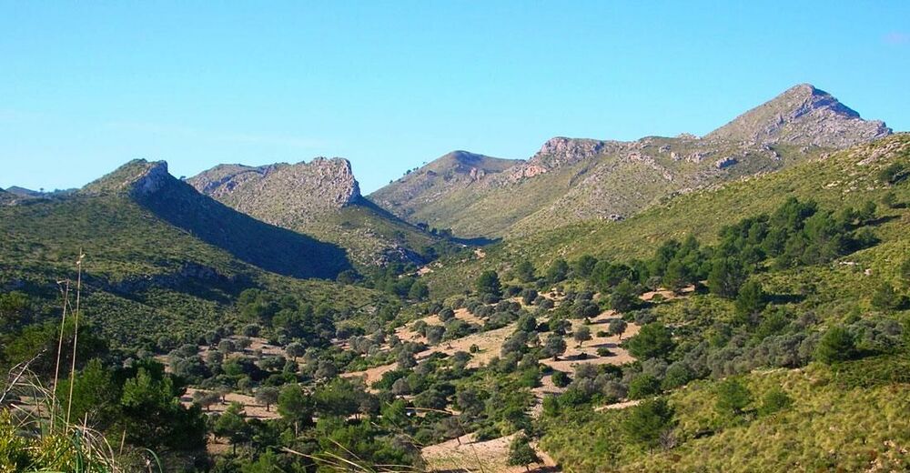
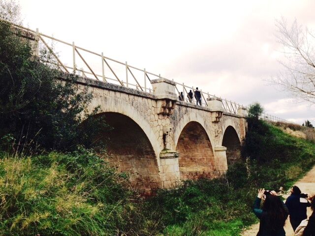
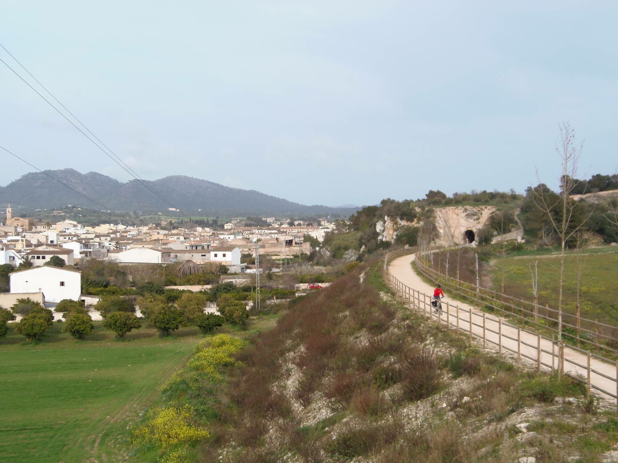
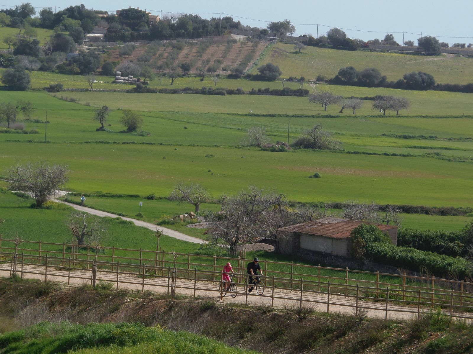
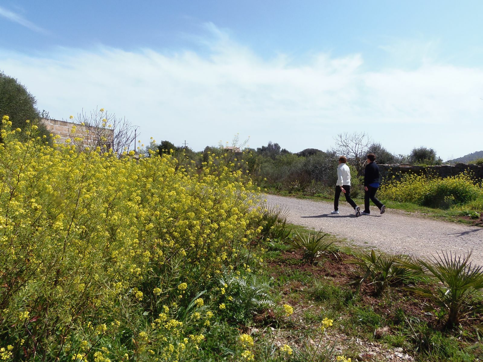
Auf dieser einfachen und sicheren Fahrradroute, die etwa 30 km lang ist, erkundet ihr die reizvolle Landschaft des Llevant im Osten Mallorcas.
- Route
-
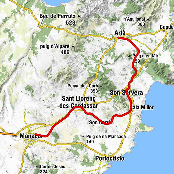
Manacor (90 m)San Lorenzo del Cardessar (77 m)7.5 kmSon Carrió (41 m)11.4 kmestació de Na Penyal15.7 kmSon Moro Bonavista (33 m)16.3 kmSon Servera (80 m)18.1 kmIglesia Evangelica18.6 kmsa coma Sequera24.2 kmArtá (123 m)28.6 km
- Highest point
- 128 m
- Endpoint
-
Artà
- Height profile
-
 © outdooractive.com


- Author
-
Spanisches FremdenverkehrsamtThe tour Vía Verde Manacor-Artà is used by outdooractive.com provided.