© Hochschwarzwald Tourismus GmbH - Marion Hess

© Hochschwarzwald Tourismus GmbH - Marion Hess


© Hochschwarzwald Tourismus GmbH - Marion Hess
- Brief description
-
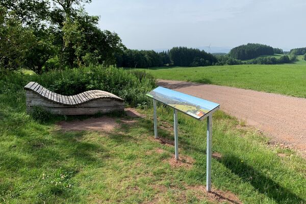
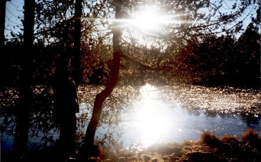
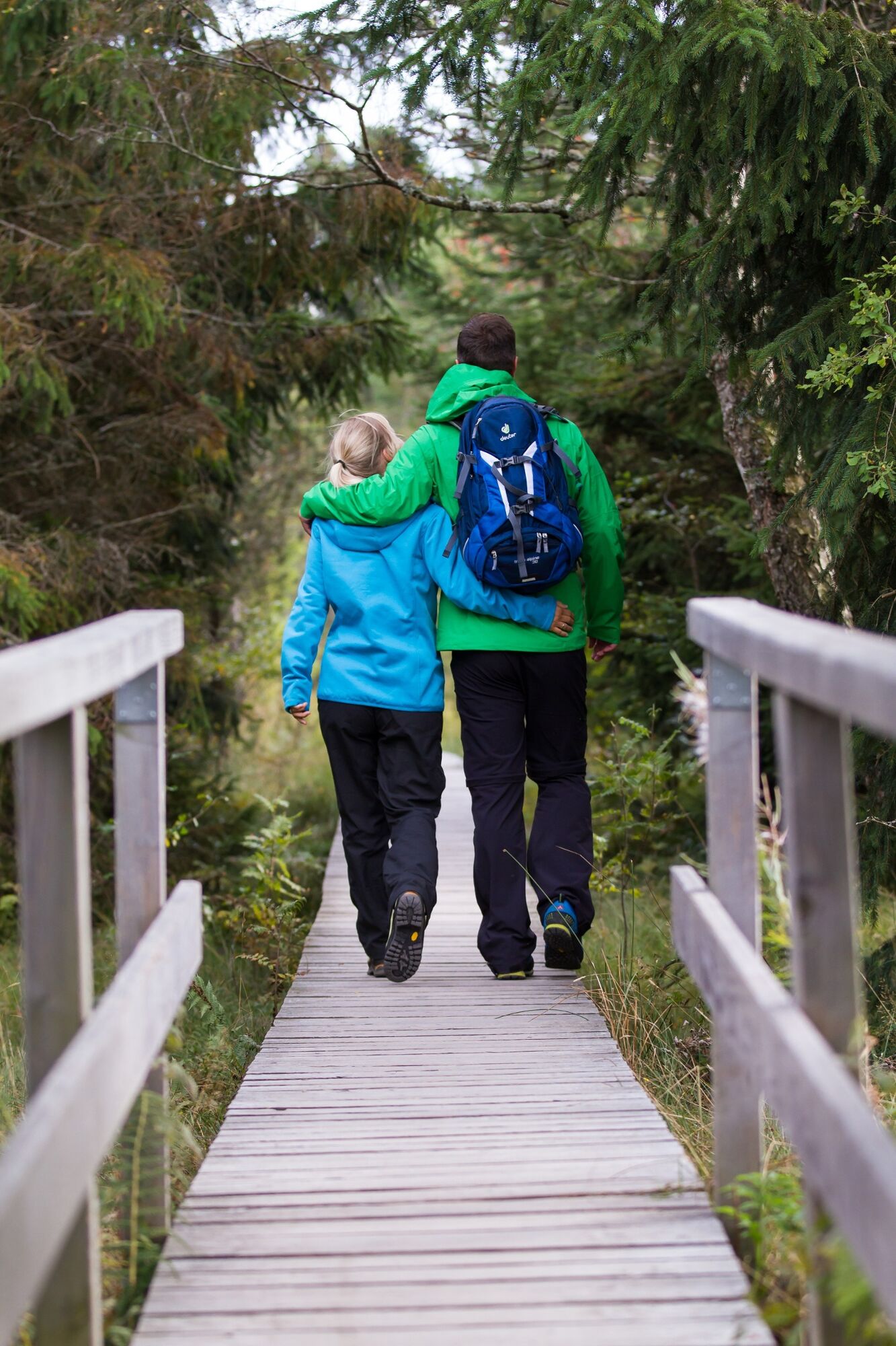
Erlebe das Naturschutzgebiet Hochmoor Blindensee
- Difficulty
-
easy
- Rating
-
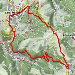
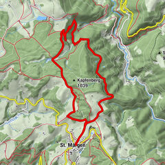
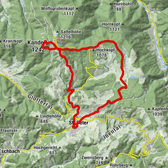
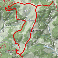
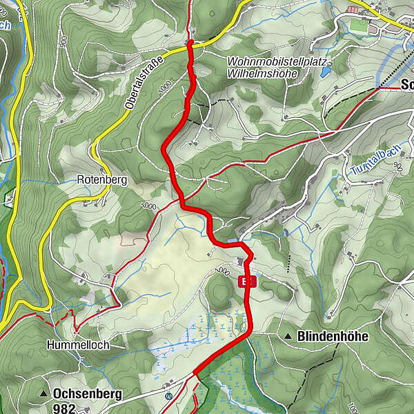
- Route
-
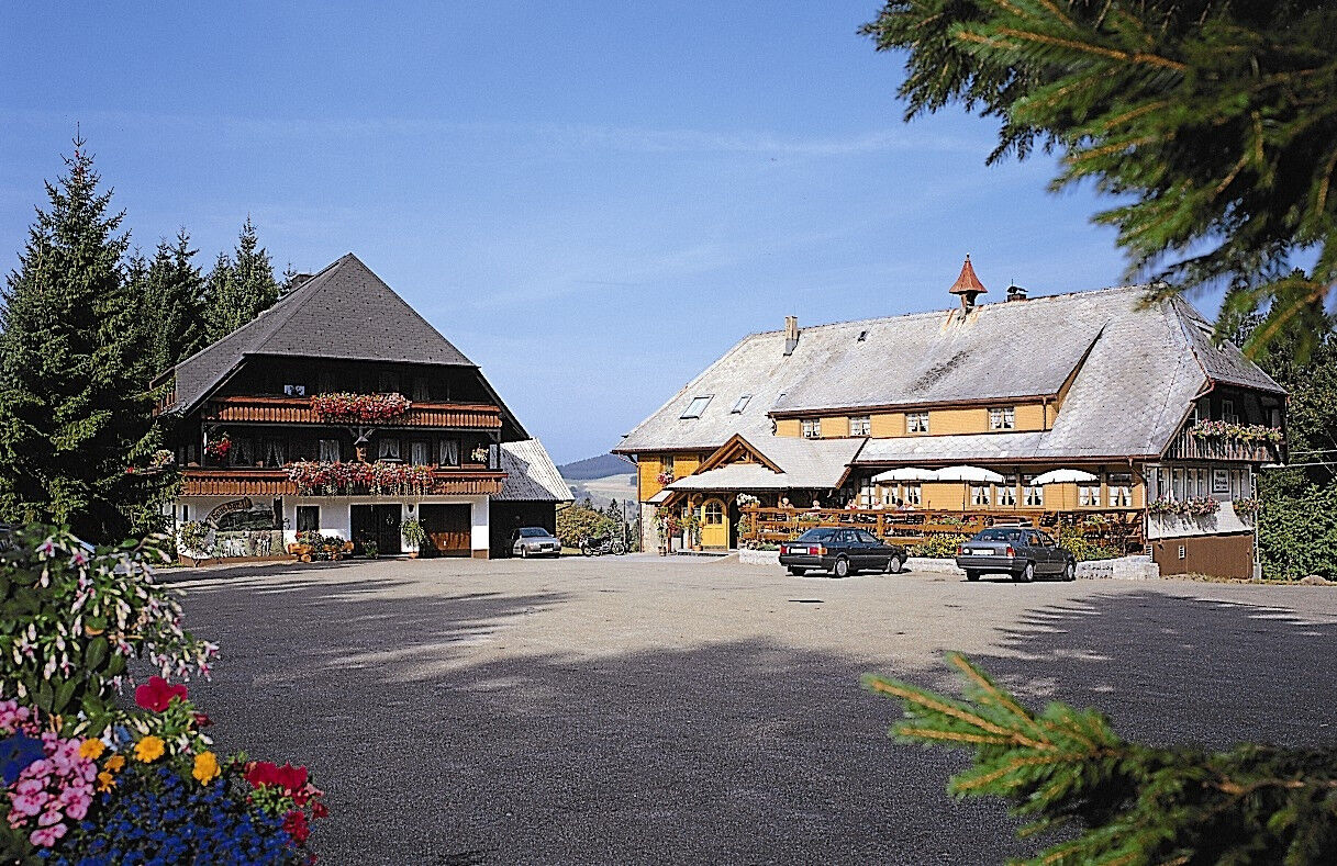
Gasthaus Wilhelmshöhe0.0 kmGasthaus Wilhelmshöhe5.2 km
- Best season
-
JanFebMarAprMayJunJulAugSepOctNovDec
- Highest point
- 1,003 m
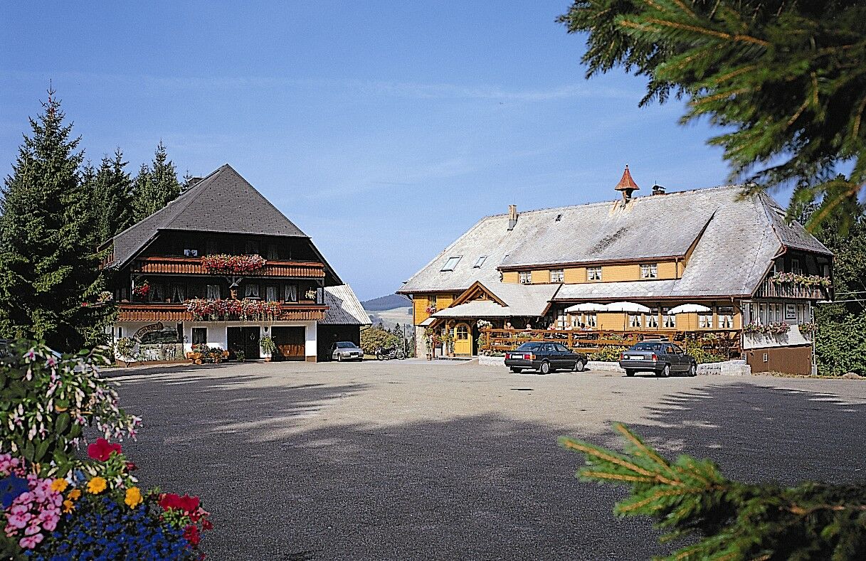
- Endpoint
-
Wilhelmshöhe, Lukas-Kuner-Weg 1, 78136 Schonach
- Height profile
-
 © outdooractive.com

- Author
-
The tour Barrierefreie Wanderung Wilhelmshöhe-Blindensee is used by outdooractive.com provided.
GPS Downloads


General info
Refreshment stop
A lot of view
Other tours in the regions