© Früchtetrauf - Andreas Scholz

© Früchtetrauf - Andreas Scholz

© Früchtetrauf - Andreas Scholz

© Früchtetrauf - Andreas Scholz

© Früchtetrauf - Andreas Scholz

- Brief description
-
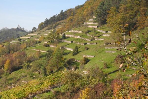
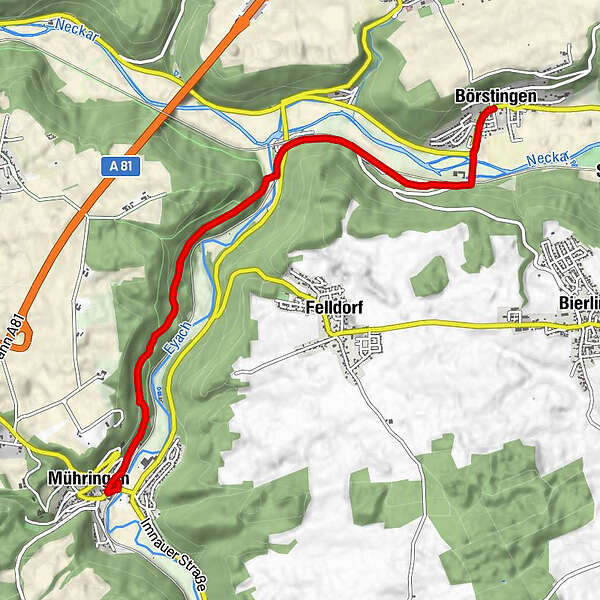
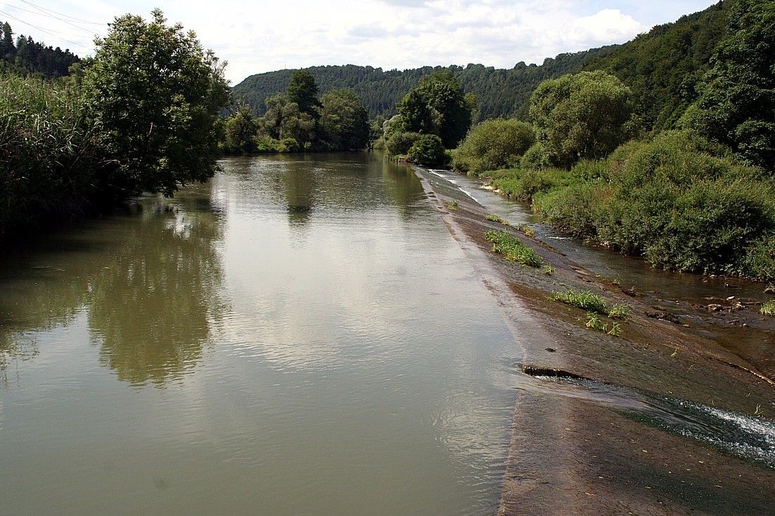
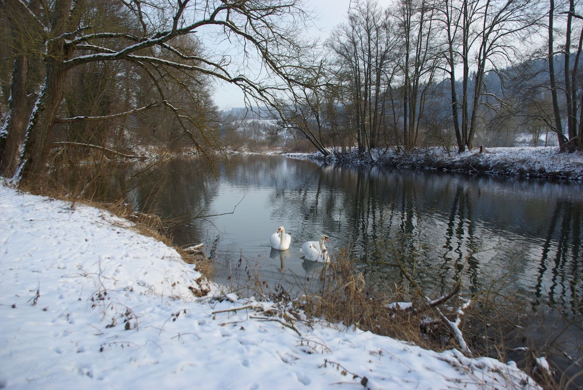
Der Pumpelschellenweg führt vom Eyachtal ins Neckartal.
- Difficulty
-
easy
- Rating
-
- Route
-
Mühringen0.2 kmEyach HzL (374 m)4.0 kmEyach (374 m)4.0 kmSt. Ottilia6.0 kmBörstingen6.1 km
- Best season
-
JanFebMarAprMayJunJulAugSepOctNovDec
- Highest point
- 441 m
- Endpoint
-
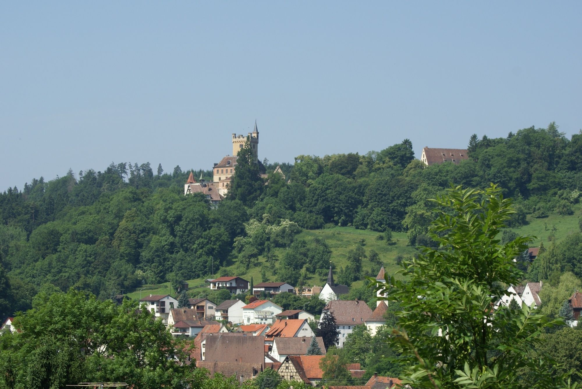
Dormuseum Kulturtankstelle Börstingen
- Height profile
-
 © outdooractive.com

- Author
-
The tour "Grenzgänger im Spitzbubenland" Pumpelschellenweg is used by outdooractive.com provided.
GPS Downloads


General info
Refreshment stop
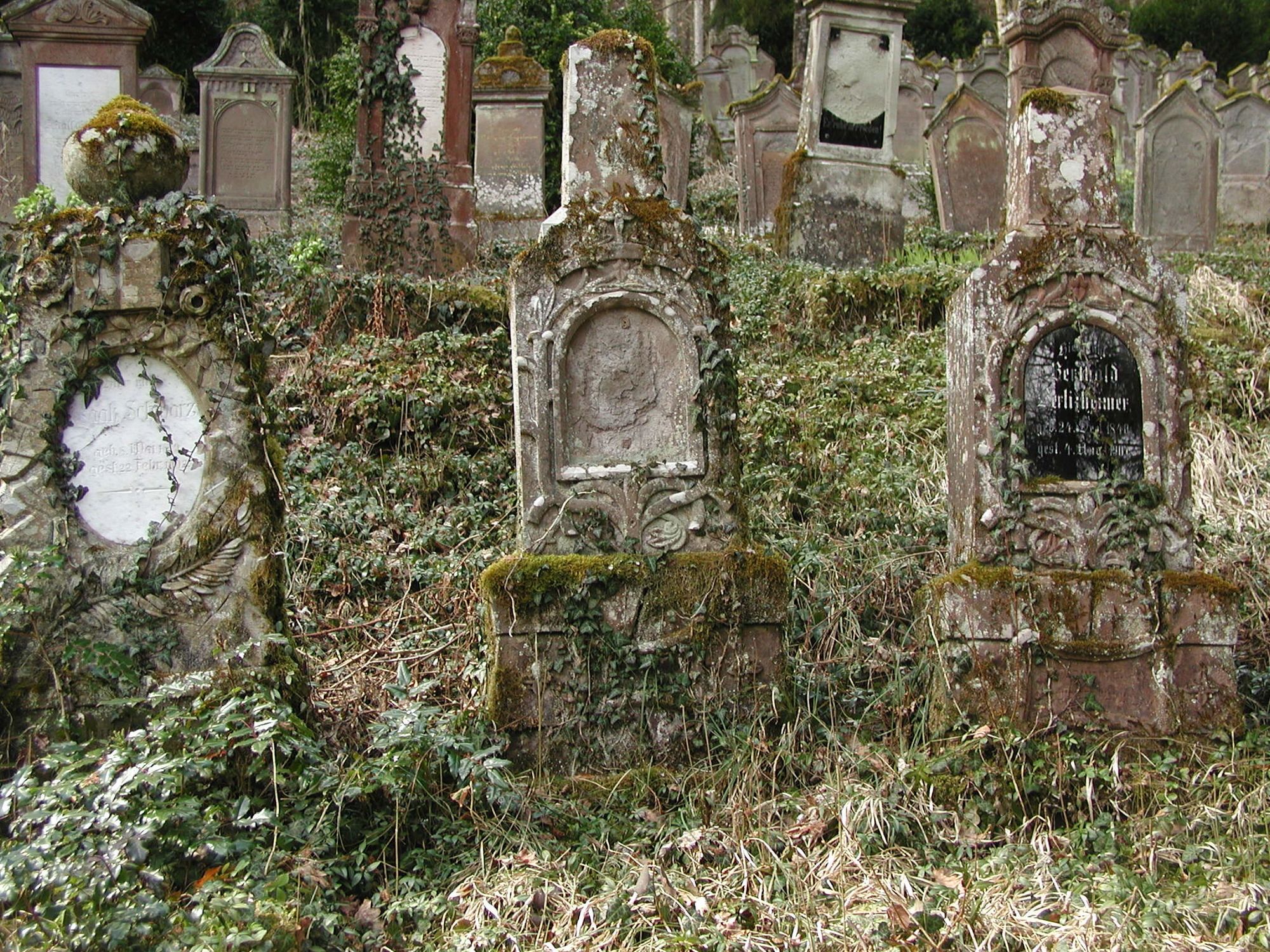
Cultural/Historical
A lot of view
Other tours in the regions
-
Region Stuttgart
1734
-
Rottweil / Horb am Neckar
573
-
Haigerloch
70