- Brief description
-
Besichtigungen
Ellwangen: Ehemalige Stiftskirche St. Veit, Wallfahrtskirche auf dem Schönenberg, Schloss, artenreiche Biotope im Tal der Blinden Rot
- Difficulty
-
medium
- Rating
-
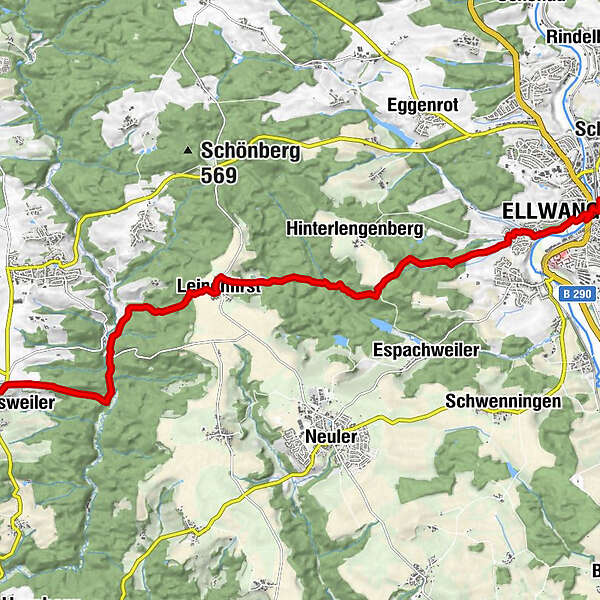
- Route
-
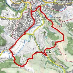
Ellwangen (Jagst) (440 m)0.2 kmGasthof zur Linde1.6 kmLeinenfirst8.1 kmSt. Antonius-Kapelle8.1 kmBurghardsmühle10.4 kmPommertsweiler13.1 kmLandgasthof Albblick13.3 km
- Best season
-
JanFebMarAprMayJunJulAugSepOctNovDec
- Highest point
- 543 m
- Height profile
-
 © outdooractive.com
- Author
-
The tour Zum Quellgebiet der Bühler is used by outdooractive.com provided.
GPS Downloads


Other tours in the regions
-
Ostalbkreis
310
-
Neuler
91