© Hochschwarzwald Tourismus GmbH, Tourist-Info Schönwald

© Hochschwarzwald Tourismus GmbH

© Hochschwarzwald Tourismus GmbH
- Brief description
-
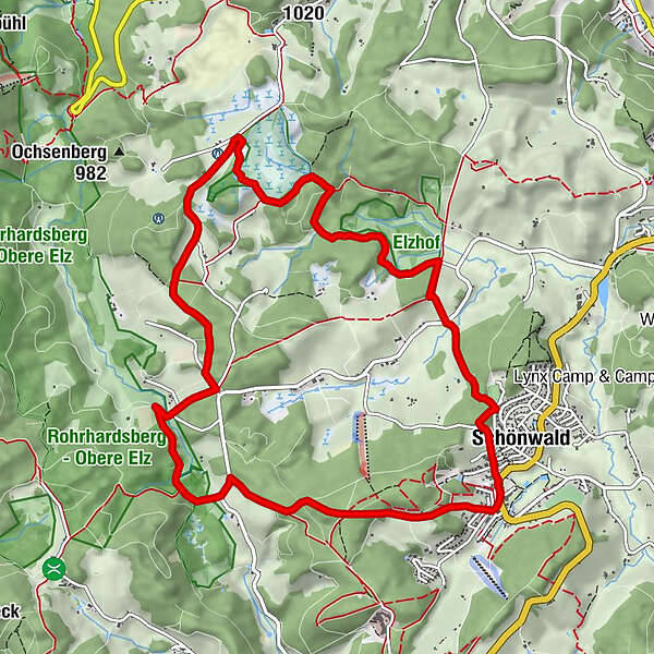
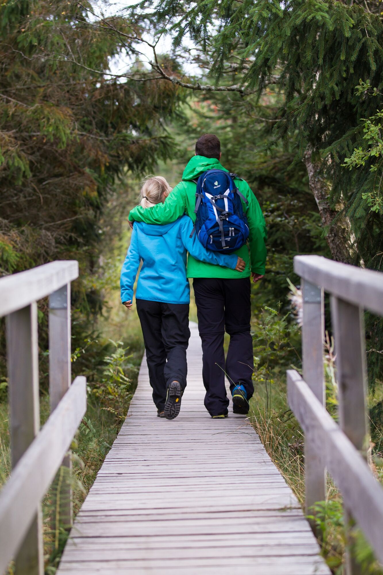
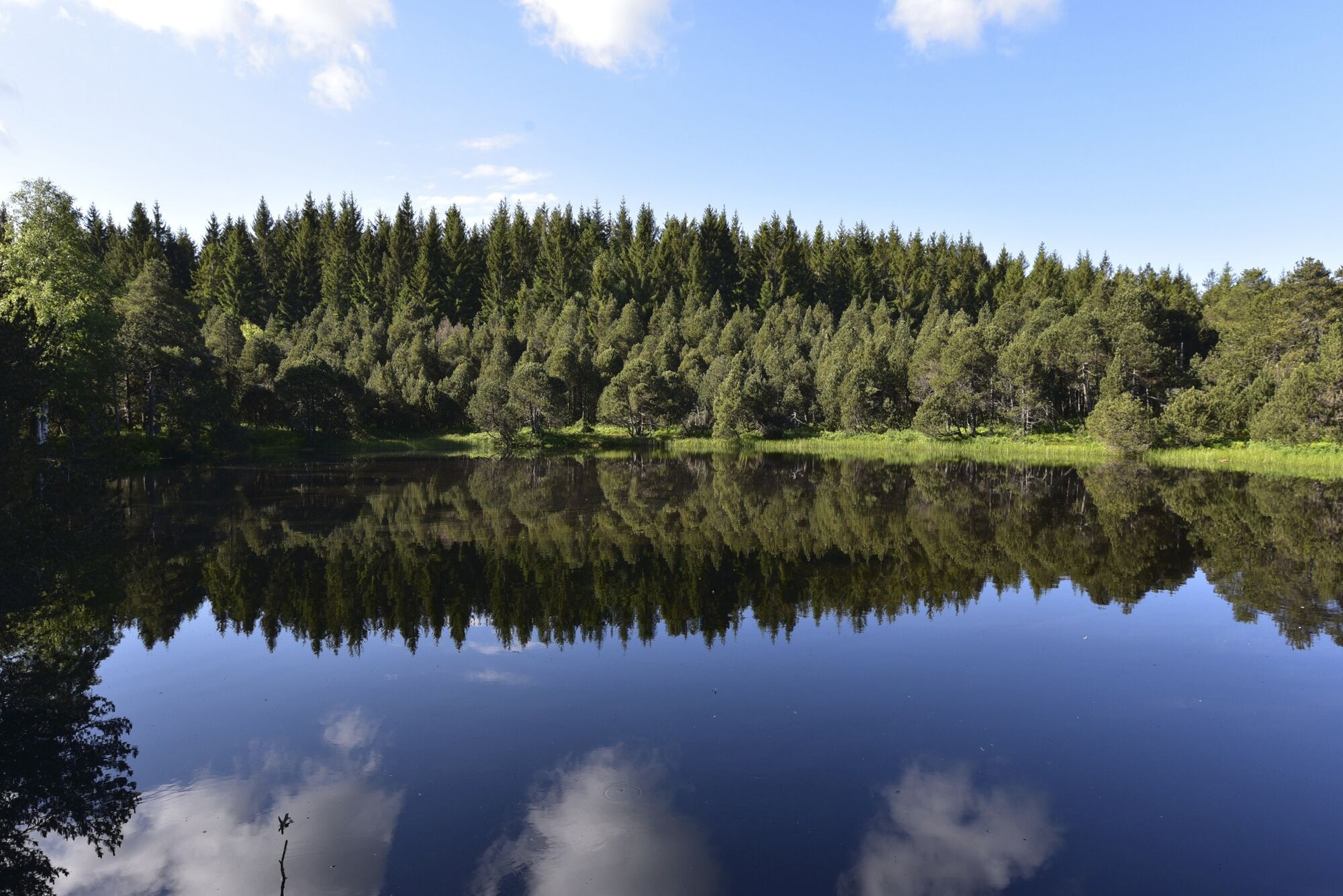
Erlebnisreiche Wanderung durch das einzigartige Naturschutzgebiet Blindensee
- Difficulty
-
medium
- Rating
-
- Route
-
St. AntoniusVogte3.6 kmNaturfreundehaus Küferhäusle9.0 kmSchönwald11.1 kmSt. Antonius11.6 km
- Best season
-
JanFebMarAprMayJunJulAugSepOctNovDec
- Highest point
- 1,066 m
- Endpoint
-
Tourist-Information Schönwald
- Height profile
-
 © outdooractive.com

- Author
-
The tour Wanderung zum Blindensee is used by outdooractive.com provided.
GPS Downloads


General info
Flora
A lot of view
Other tours in the regions