- Brief description
-
This hike along the trail of castles can be made in several stages and bypasses the ruined castles of Hohengundelfingen, Bichishausen and Hohenhundersingen.
- Difficulty
-
medium
- Rating
-
- Starting point
-
Reutlingen, Train Station
- Route
-
Merkez Camii - Zentral Moschee Reutlingen0.4 kmReutlingen (382 m)0.4 kmLeonhardskirche1.0 kmAchalm2.5 kmAchalm (707 m)3.5 kmEningen unter Achalm5.8 kmGeißberg (651 m)7.4 kmTriebfelsen19.1 kmHolzelfingen20.0 kmLichtenstein20.9 kmBurgstein21.0 kmHonau22.7 kmRötelstein (769 m)22.7 kmLochersteinhöhle (745 m)23.2 kmLocherstein (795 m)23.5 kmTraifelberg24.1 kmSternbergblick29.9 kmLauterquelle33.4 kmOffenhausen33.6 kmKohlplatte34.2 kmSternberg (844 m)35.0 kmMarbach38.9 kmGestütsgasthof Marbach39.1 kmSchelmenbühl39.4 kmPizzeria Schelmenbühl39.5 kmDapfen40.5 kmGasthaus zum Burren42.0 kmWasserstetten42.0 kmHundersingen47.3 kmGasthof Rössle47.4 kmBichishausen50.4 kmSt. Gallus50.7 kmAntoniuskapelle51.7 kmWittstaig53.4 kmWeiler56.6 kmIndelhausen58.2 kmAnhausen59.0 kmVier Bayerbögen60.6 kmHeuscheuerle61.1 kmHoher Gießel61.4 kmKarstquelle Blaubrunnen61.4 kmErbstetter Tropfsteinhöhle62.8 kmUnterwilzingen64.8 kmLaufenmühle67.8 kmHochberg (662 m)69.3 kmHochberg69.5 kmObermarchtal72.2 kmKloster Obermarchtal72.4 kmMünster Sankt Peter und Paul72.5 kmRechtenstein74.0 kmBahnhofsgaststätte74.0 kmGeisterhöhle74.4 kmRechtenstein74.5 kmTraube76.9 kmEmeringen76.9 kmBaach81.9 kmSt Stephanus81.9 kmGasthaus Felsen82.1 kmZwiefalten83.3 km
- Best season
-
JanFebMarAprMayJunJulAugSepOctNovDec
- Description
-
This castle trails shifts us back to the times of knights and damsels of castles. The trail starts at Reutlingen and leads along the most beautiful castles and ruined castles of the Swabian Jura to the Danube river and then to Zwiefalten. Highlight is for sure the Lauter valley, where in ancient times stood 17 castles on representative cliffs.
- Directions
-
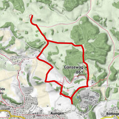
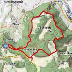
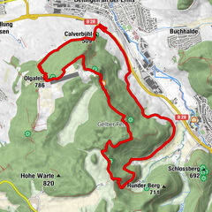
The castle trail can be made in several stages and if additional tours are selected you have a trail of nearly 102km. You can do the trail either in five daily etaps or start off individually from one of the numerous hikers´ parking sites. More information is available at all tourist infos or in the brochure "Burgenweg" (only in German) which is available at book stores. Very helpful are the busses on the Swabian Jura which provide public transport in the region and make it easily possible to get back to your starting point. Plan your hike with the so called "Rad-Wander-Bus" Alb-Donau-Kreis (hikers´and bikers´ bus), Phone: 07381 18 21 45. The castle trail starts at the former imperial town of Reutlingen (382m a.s.l.). The town was responsible for quite a few of the destructions of castles you will find on the castle trail. Starting at the train station our way leads us through the city centre of Reutlingen via Gartenstrasse (Garden Street) and Burgstrasse (Castle Street) up to the ruined castle "Achalm" (707m a.s.l., look-out). Passing the lower castle we follow the way down to Eningen (463m a.s.l.) and on to the Arbachtal (Arbach Valley). Following Arbach- and Harretstrasse (Arbach and Harret Street) our way leads us up to viewpoint "Mädlesfelsen" which is situated at 774m a.s.l. Passing the "Übersberger Hof" and the gliding area we reach the hikers´ parking site. We continue with our hike on the plateau of the Swabian Jura until we get to "Göllesberg" settlement. From here on we cross the area of the "Stahlecker Hof" which is a farm producing organic food- and get to ruins of "Stahleck" (771m a.s.l.) by walking through the forest. Then we get to the cliffs of "Großer and Kleiner Greifenstein" (big and small Greifenstein). Arriving in Lichtenstein-Holzelfingen we follow "Hauptstrasse" and walk along the sports ground to reach the viewing point "Burgstein" (745m a.s.l.) which offers a beautiful view over the valley of Echaz. We continue in southern direction along the steep fall of the Swabian Jura and get to "Traifelberg". Another alternative worthwile is making a detour to the castle of Lichtenstein via "Tobelkapf" and "Alter Lichtenstein". This marks the end of our first day etap.Good possibilities for an overnight stay can be found at "Rad-Wander-Häusle" (small wooden houses for hikers and bikers), where self-catering is offered. You can find them at Engstingen-Kohlstetten (phone: 07385 15 42) or at Münsingen-Dottingen (phone: 07381 23 09).
On the second day, the castle trail leads as along the B 312 (main road) to Kleinengstingen (703m a.s.l.). There we follow "Gartenstrasse" upwards past the "Ruhlenberg" settlement through the forest to "Jägertal" (hunters valley) and then downwards to Offenhausen (665m a.s.l.) where we can find the Studs´ Museum belonging to the State Stud of Marbach which exist already since 1575. From the Stud´s Museum our way leads us up to "Sternberg" (844m a.s.l.) where we can find a look-out and hikers´ inn. Then we walk down through the forest to "Wolfstal" (wolf valley) and get to Marbach to the famous State Stud.
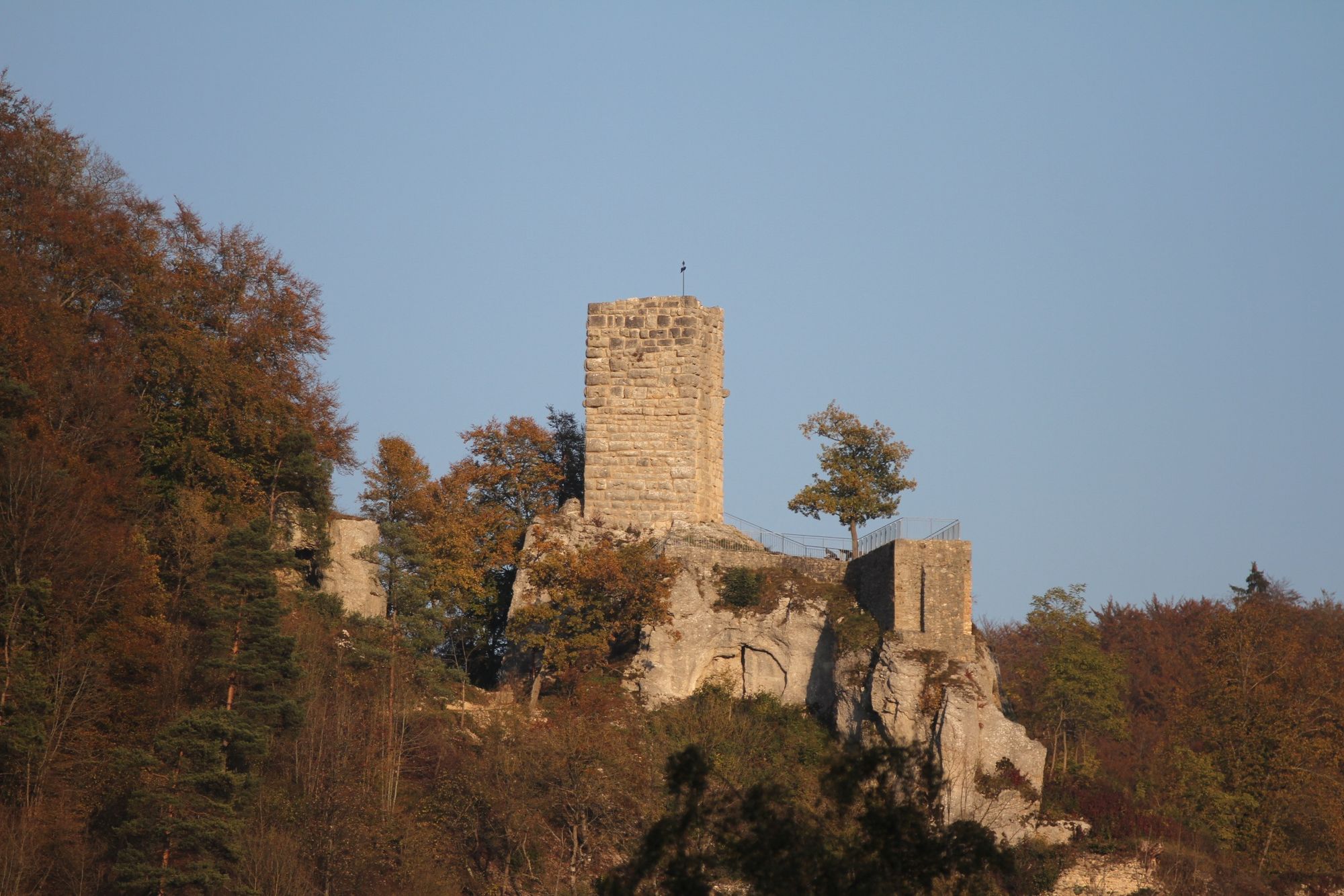
Our third etap starts at the State Stud from where we can make a little detour to the castle of Grafeneck (euthanasia memorial, Samaritan monastery, organic farm with farm shop, phone: 07385 96 60). Back to Marbach we continue our way to Gomadingen-Dapfen and Wasserstetten. (Detour to the ruined castle of Blankenstein (712m a.s.l.)). From Wasserstetten on the main trail leads to the right and is steeply rising until we reach the plateau and go on to the viewing point "Schachen" (797m a.s.l.) from where we can have an impressive view to the Alps if weather conditions are good. Our way leads us now along meadows and fields, passing "Fladhof" (a farm where we can get lunch on request, phone: 07383 14 74). We get to Münsingen-Hundersingen (628m a.s.l.) following firstly the ancient country road and then on a narrow trail. The mighty ruined castle of Hohenhundersingen marks the starting point of the trail where we find the highest density of ruined castles on the next few kilometres. Probably built during 12th century the ruined castle of Hohenhundersingen was destroyed around 1530. We walk down the hill and follow the Lauter river to Münsingen-Bichishausen (610m a.s.l., canoe station, information point "Lautertal"). The ruined castle of Bichishausen (650m a.s.l.) is the only castle where we can still find parts of a donjon and a frontal wall at the same time. We then walk through the small village and continue our way along the Lauter river until we get to Münsingen-Gundelfingen (593m a.s.l.) where we can find the ruined castle of Niedergundelfingen (732m a.s.l.). The street to Dürrenstetten leads us up to Hohengundelfingen (732m a.s.l.), built around 1180 which is the mightiest castle complex of the Lauter valley. The donjon with a height of 11m offers an amazing view over the Lauter valley. Crossing the Lauter river, we go upstream to the ruined castle Derneck (655m a.s.l., hikers´ inn). This is where the third day ends. Alternatively we could also have an overnight stay at the "Rad-Wander-Häusle" (small wooden houses for bikers and hikers) at Münzdorf. Phone: 07386 506.
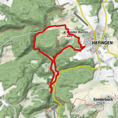
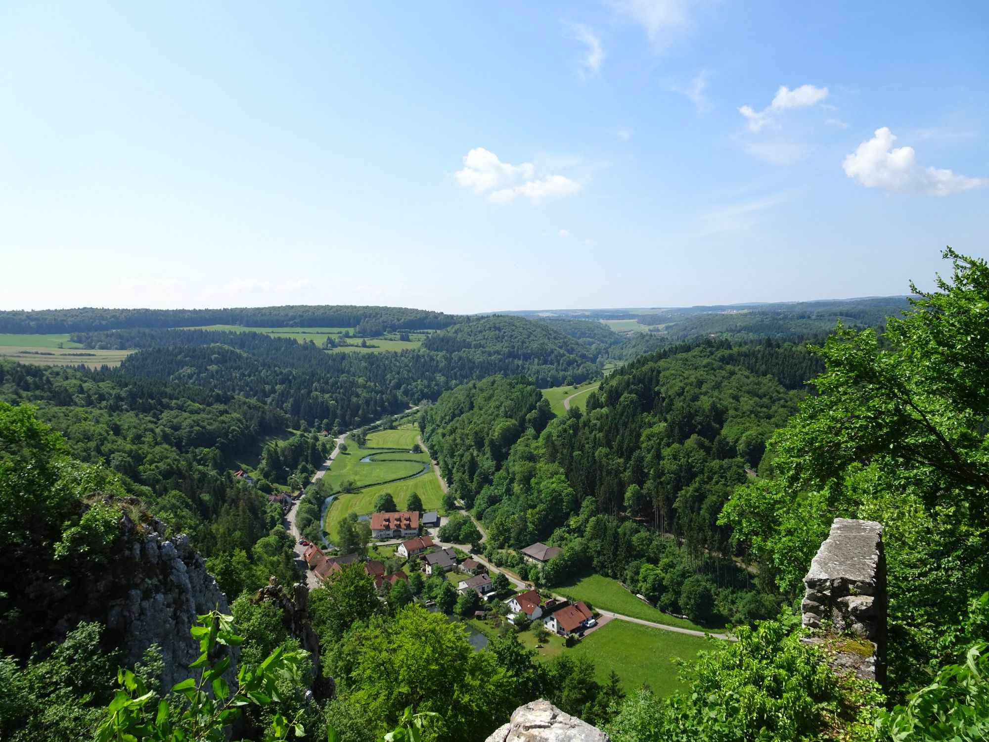
Our fourth day etap starts with the descent to the street leading to Münzdorf and the climb through the juniper heaths up to "Kreuzberg" (Cross hill) at Hayingen-Weiler which is also called "Käpfle" (650m a.s.l.). The cross at the top of the hill which is visible from far we have a beautiful view back to the ruined castle of Derneck. During the descent to Hayingen-Weiler we have the possibility to discover a hostoric escargot garden. Nowadays escargot business semms to be almost vintage, but the University of Nürtingen started a project to revive the tradition of escargot breeding in the region. At Hayingen-Weiler we cross the Lauter river and continue to Hayingen-Indelhausen (558m a.s.l.). Through the village past the town hall we cross the two river channels on an island (hikers´ parking site). We go on through the village of Hayingen- Anhausen where the ruined castle of Schülzburg (built in 1605, burned down in 1884) "guards" the village. Along the Lauter river we reach the hikers´ parking site "Maisenburg" (fire place and playground). Behind the clarification plant we can find a detour up to the ruined castle of Maisenburg (635m a.s.l.). Back at the hikers´ parking site we cross the bridge and follow the left bank of the river downstream. From this point on the Lauter valley is traffic free. We can see enormous holes in the mighty rocks, the so called "Ochsenlöcher" (Ox holes), which evolved from the river which was formerly floating on a much higher niveau. After "Hohe Geißel", a waterfall, our way leads upwards via "Gemsfels" to the ruined castle of Wartstein ( 655m a.s.l., look-out). Through the forest and then to the right at the edge of the forest we get to the ruins of Monsberg and St. Ruprecht and from there on to Unterwilzingen. At the beginning of the village we cross the street and follow the Lauter river into the narrow and rocky traffic free valley.. From "Laufenmühle" (Laufen mill) on our way follows a small road up to the ruined castle of Reichensten (590m a.s.l., donjon) and further on to Hochberg (661m a.s.l., viewing point). Via Talheim the trail continues to Obermarchbtal where we can finf a baroque style monastery (architect: Christian Thumb). (Alternatively we can follow a way via Wolfstal (wolf valley, Lauterach and the water mouth of the Lauter valley). Our day ends at REchtenstein (560m a.s.l.).
The last etap leads us along the banks of the Danube river to Emeringen (576m a.s.l.) and to the viewing point Emerberg (641m a.s.l.). Via "Peter´s Käppele", Zwiefalten-Baach and the "Kapellenweg" (chapels´ trail) and along B 312 (main road) the castle trail leads us to its final point: the village of Zwiefalten with its beautiful minster - a masterwork of South-German baroque. During summer months you can find an information point about nature, environment and tourism which also offers regional products at "Peterstor"- Phone: 07373 20 520, www.zwiefalten.de
- Highest point
- 832 m
- Endpoint
-
Bushaltestelle Rentalhalle, 88529 Zwiefalten
- Height profile
-
 © outdooractive.com
 - Tips
-
- The ALB-GOLD herbs-garden offers information about healthy nutrition and transparent manufacturing (possibility to get insights of production of all kind of noodles) and a beautiful farm market with regional products can be found at Trochtelfingen. Phone: 07124 92 91 155
- At Marbach (650m a.s.l.) you can find the State Stud which exists already since 1553 and is visited by thousands of horse enthusiasts every year. You have free acces to stables and paddocks and can visit the horses. Special breeds are Wurttemberg crossbred horses and Arab thoroughbred. Opening hours: 8am to 12am and 1pm to 5pm. Phone: 07385 96 950, www.gestuet-marbach.de
- Additional information
- Directions
-
Highway 8 (A8) from Karlsruhe: Exit Stuttgart-Degerloch, then continue on B27/B312 to Reutlingen
- Public transportation
-
With the ICE train to Stuttgart or Plochingen and then use the line Stuttgart - Reutlingen - Tübingen
- Parking
-
possible at Reutlingen and at several hikers´ parking sites
- Author
-
The tour Castle trail - A trip back to the Middle Ages is used by outdooractive.com provided.


General info
-
Schwäbische Alb
1240
-
Ferien rund um den Bussen
135
-
Hayingen
65