© Tourist-Information Meßkirch - Jennifer Werner

© Tourist-Information Meßkirch - Jennifer Werner

© Tourist-Information Meßkirch - Jennifer Werner

© Tourist-Information Meßkirch - Jennifer Werner

- Brief description
-
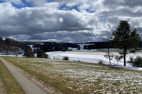
Einfach die Aussicht genießen und "ins Land einischaun"
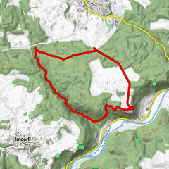
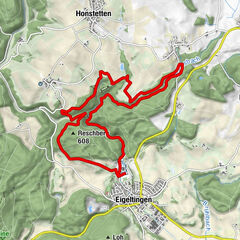
- Route
-
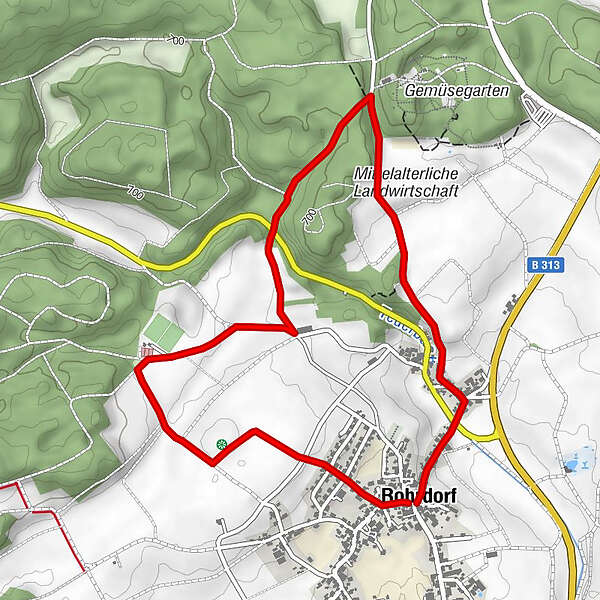
RohrdorfRohrdorf5.3 km
- Highest point
- 692 m
- Endpoint
-
Dorfplatz Rohrdorf
- Height profile
-
 © outdooractive.com
-
-
AuthorThe tour Meßkirch: Feldherren-Runde is used by outdooractive.com provided.
GPS Downloads


Other tours in the regions
-
Bodensee - Deutschland
1099
-
Albstadt
413
-
Meßkirch
47