© GPSconcept - Heinz Obinger

© Unbekannt - © Manfred Wolf

© Unbekannt - © Manfred Wolf

© GPSconcept - Heinz Obinger

© Unbekannt - © Manfred Wolf

© Unbekannt - © Manfred Wolf

© Unbekannt - © Manfred Wolf

© Unbekannt - © Manfred Wolf

© Unbekannt - © Manfred Wolf

© Unbekannt - © Manfred Wolf
- Brief description
-
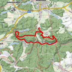
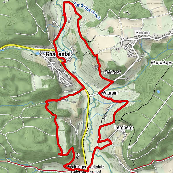
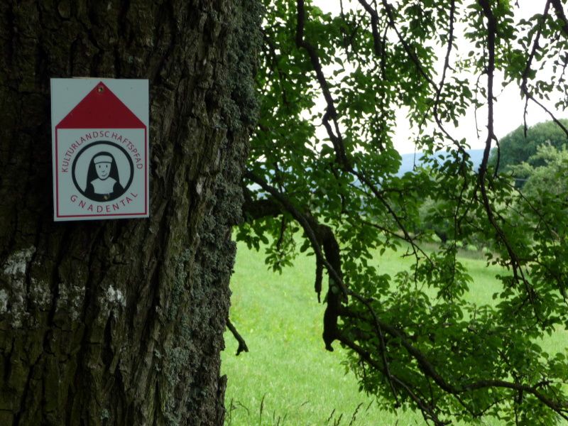
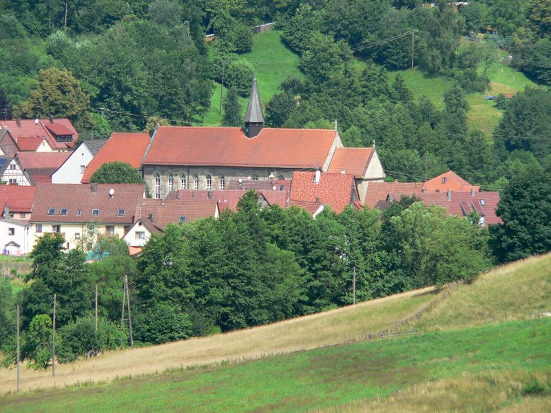
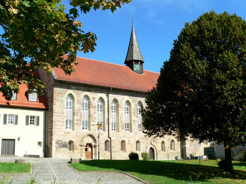
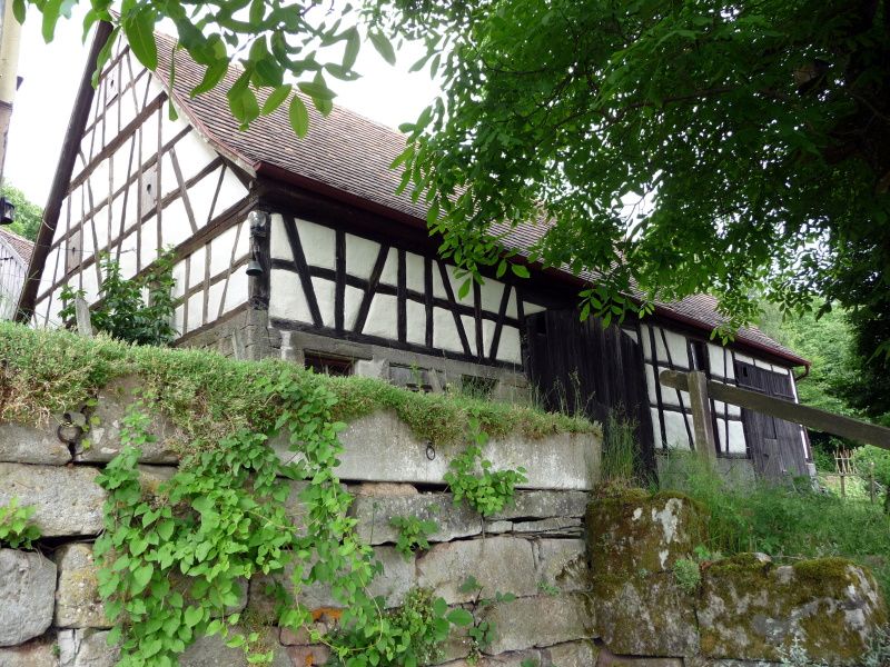
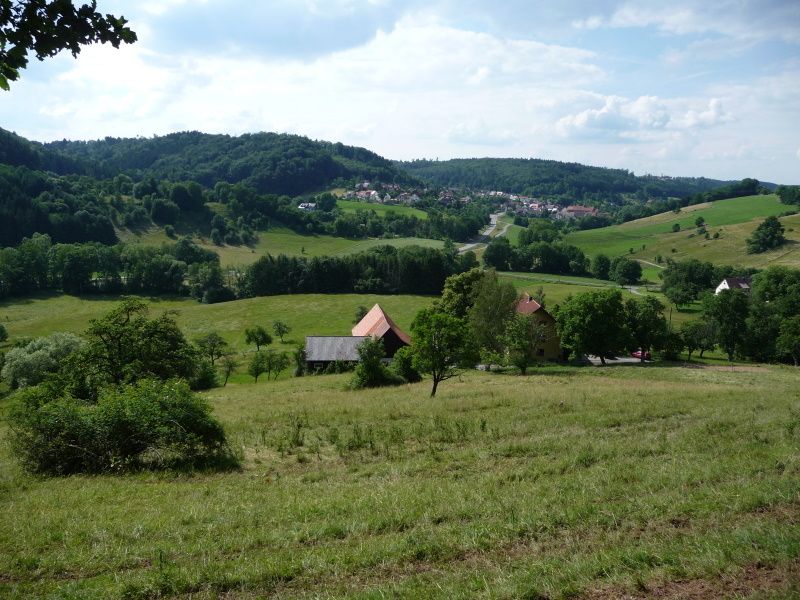
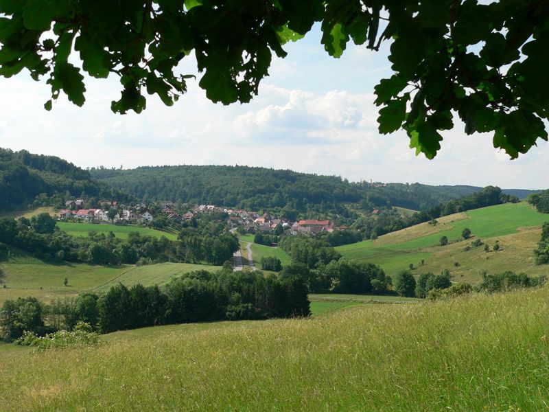
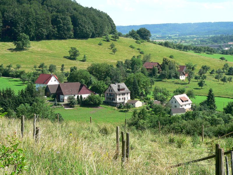
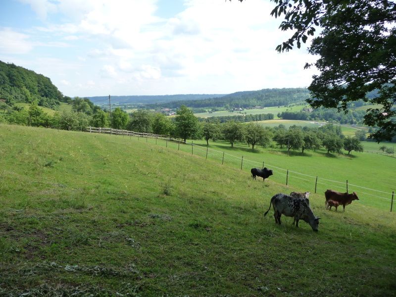
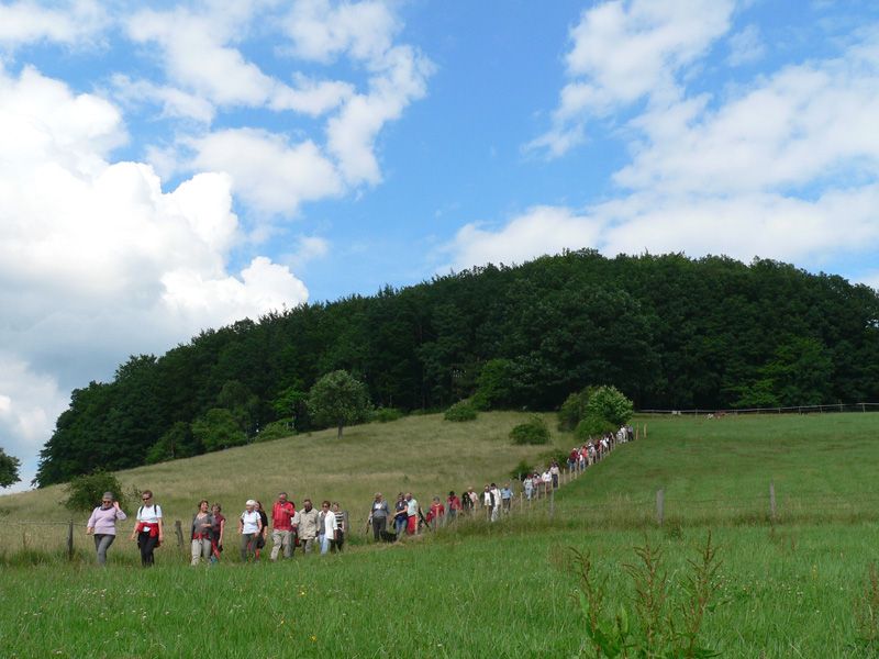
Ein Stück Landschaftsgeschichte erwandern - Waldlehrpfade und sorgfältig geplante Wege durch Naturschutzgebiete gibt es in Baden-Württemberg einige, jetzt lässt sich aber auch die Entwicklung einer Kulturlandschaft mit den Wanderstiefeln erschließen.
- Difficulty
-
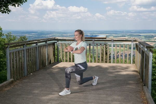
easy
- Rating
-
- Route
-
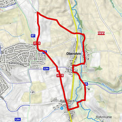
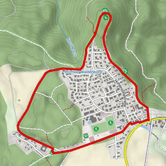
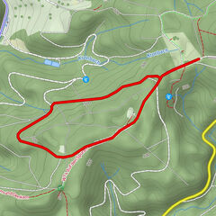
Klosterschänke3.1 kmGnadental3.1 kmWagrain6.0 km
- Best season
-
JanFebMarAprMayJunJulAugSepOctNovDec
- Highest point
- 473 m
- Endpoint
-
Michelfeld - Gnadental
- Height profile
-
 © outdooractive.com

- Author
-
The tour Kulturlandschaftspfad Gnadental is used by outdooractive.com provided.
GPS Downloads


General info
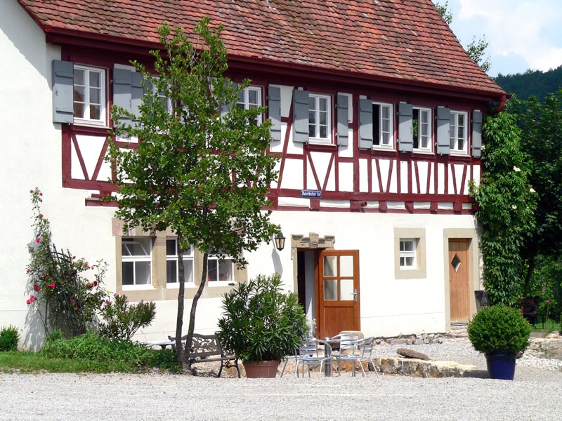
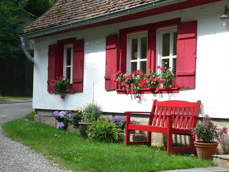
Refreshment stop
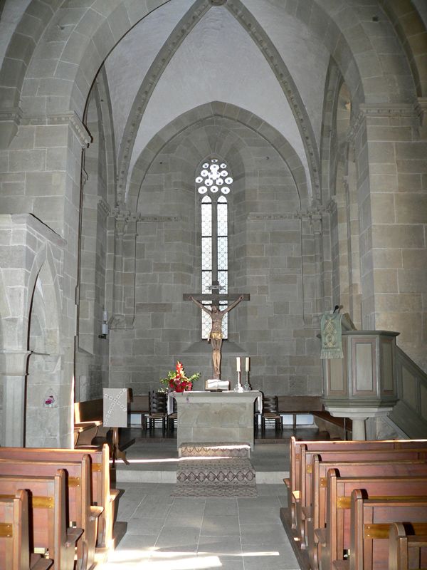
Cultural/Historical
Other tours in the regions
-
Hohenlohe
1056
-
Waldenburg
134