
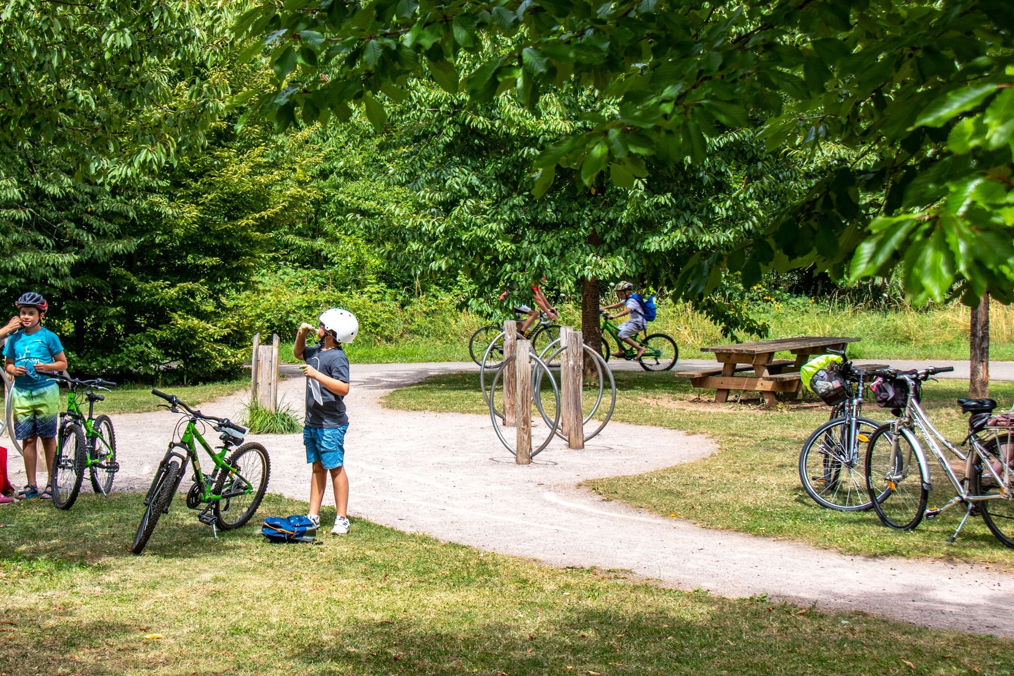
- Brief description
-
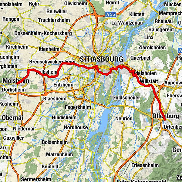
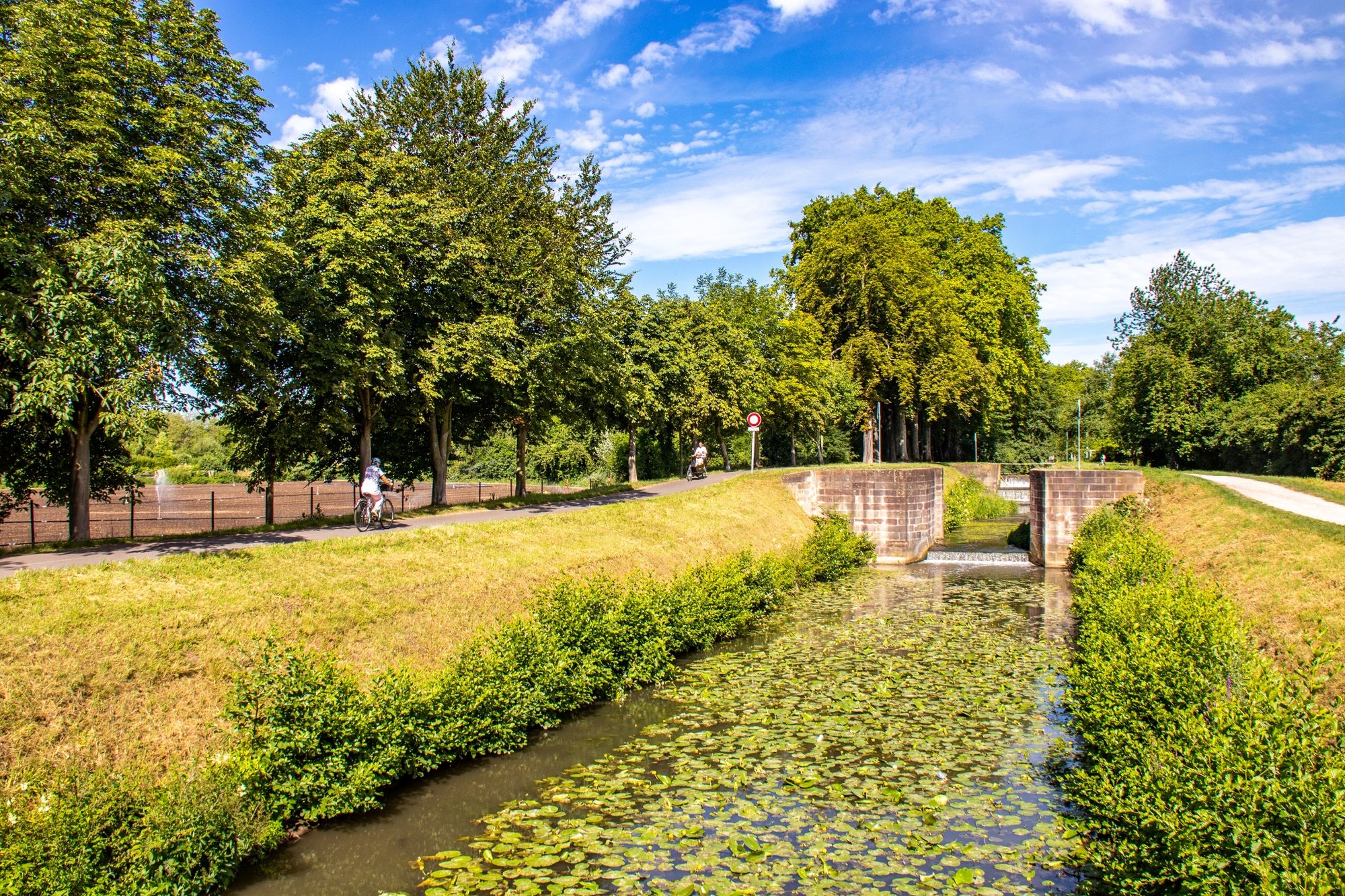
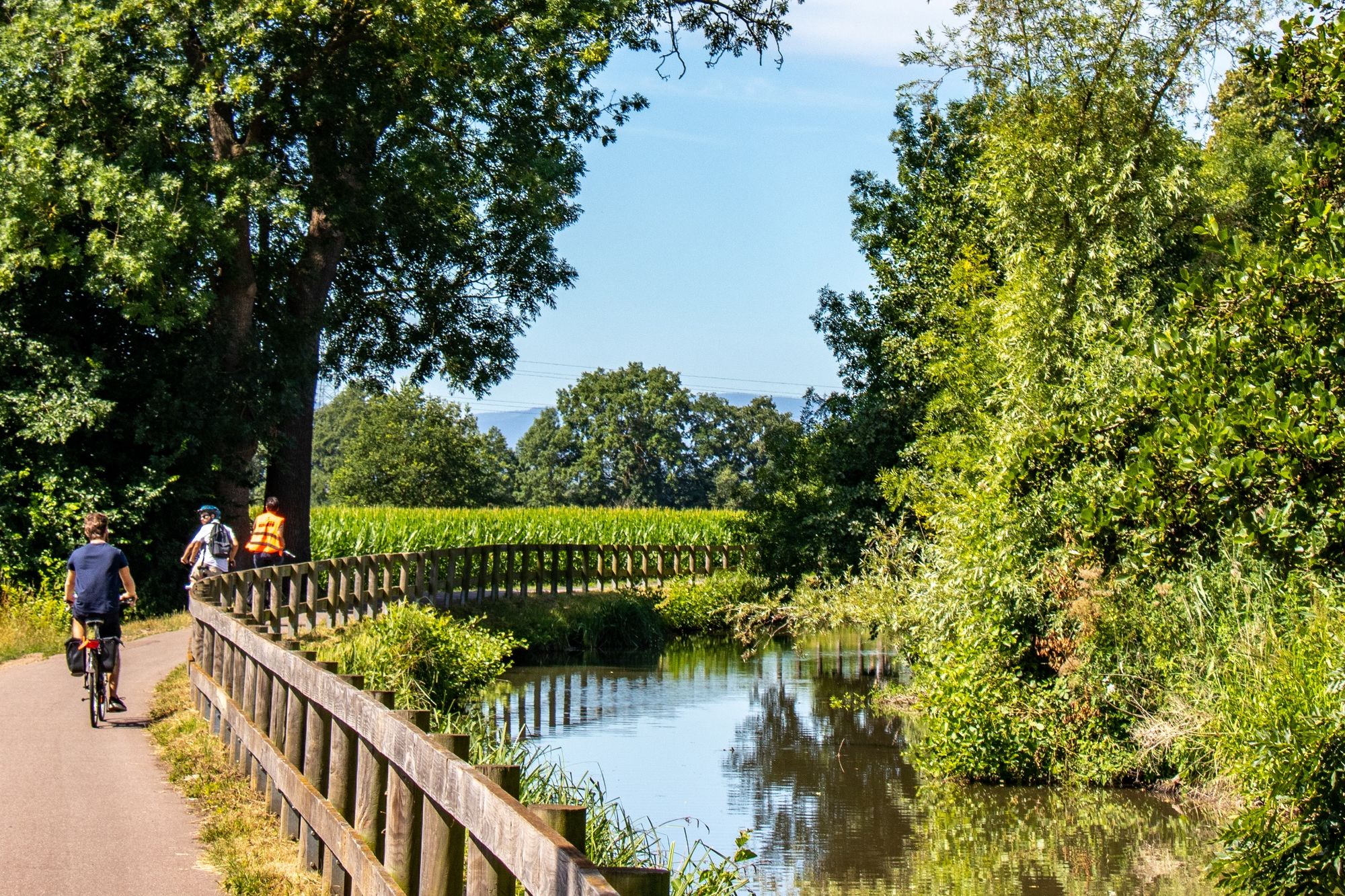
The route connects Offenburg (DE) to Molsheim by canals crossing the villages and fortifications of Alsace and follows part of Eurovelo 5 by the Bruche canal.
- Difficulty
-
medium
- Rating
-
- Starting point
-
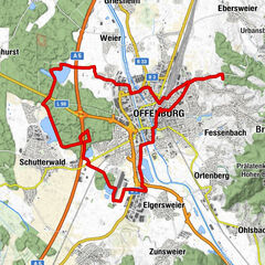
Offenburg (DE)
- Route
-
Offenburg (163 m)0.4 kmGriesheim4.9 kmWillstätt8.8 kmSölling17.1 kmFriedenskirche19.2 kmKehl19.3 kmInsel19.8 kmSt. Nepomuk19.9 kmMosquée Turque Eyyub-Sultan28.3 kmStraßburg30.1 kmBruehling31.9 kmGrüneberg31.9 kmNachtweid34.4 kmBeim Schliefsen35.3 kmTiergarten37.1 kmKaemmerle37.2 kmAchenheim39.3 kmHangenbieten41.3 kmKlein Brech42.5 kmAuf den Kanal43.7 kmBei der Schleuse44.0 kmApotherkermatt44.1 kmKolbsheim44.7 kmBreudel44.9 kmCanal45.5 kmEgerten46.0 kmUnter den Willgen46.2 kmErnolsheim46.5 kmSchiessrain48.8 kmBreuschstueck49.1 kmErgersheim49.2 kmRestaurant Au Canal49.2 kmAuberge de la Bruche49.8 kmDachstein49.9 kmMolsheim53.8 km
- Best season
-
JanFebMarAprMayJunJulAugSepOctNovDec
- Description
-
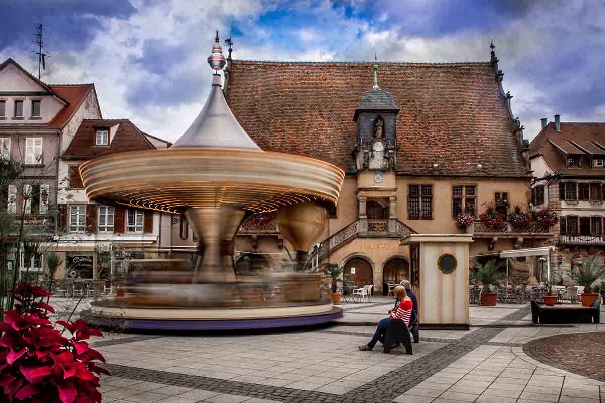
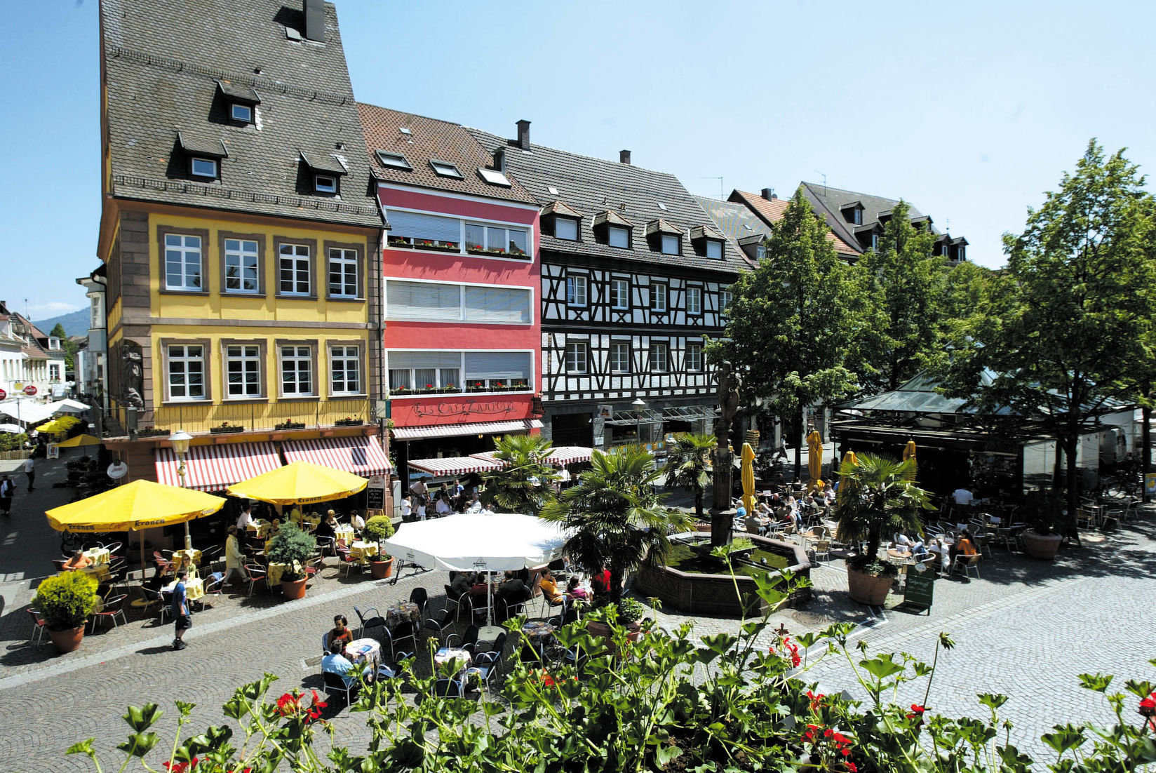
This cross-border trail which arrives from Offenburg leaves Strasbourg to go south along a cycle track laid out along the river Ill, which flows through the Alsatian capital. The trail then follows the Bruche canal, which was built by Vauban to transport the red sandstone of the Vosges for the construction of the fortifications of Strasbourg. It comes out at Molsheim, whose Town- Hall square features a large number of monuments.
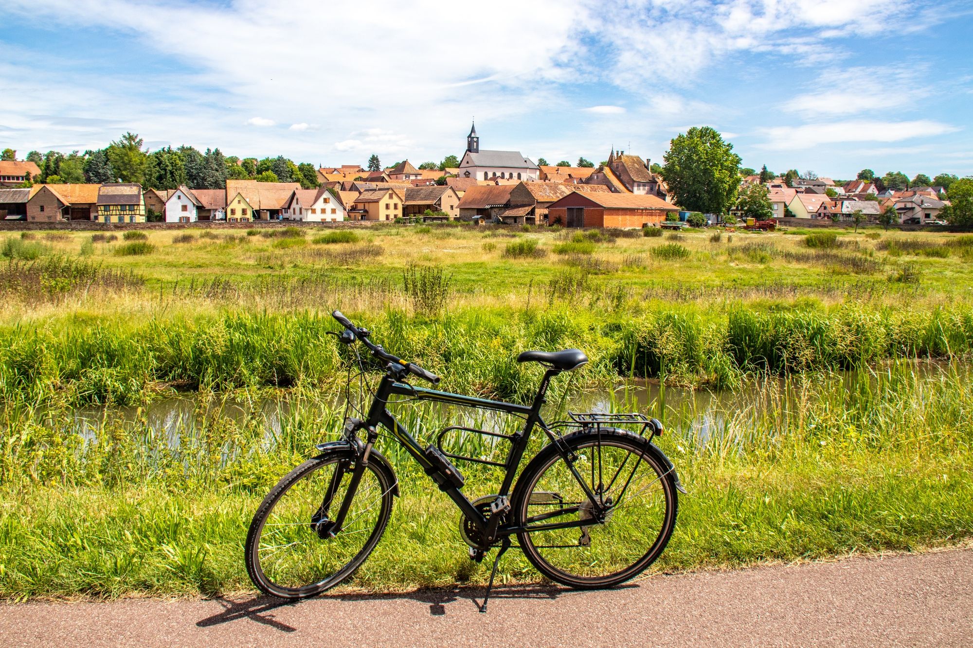
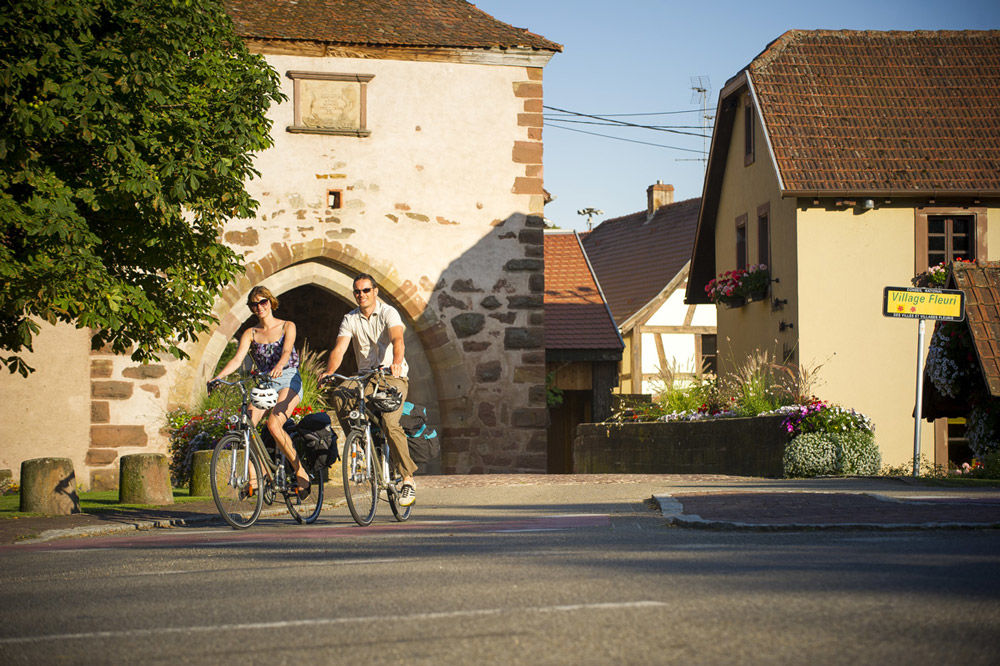
The route then winds its way along the long Bruche valley and takes you through a large number of villages whose main source of income is forestry. It gradually tightens up as far as Schirmeck before beginning to ascend the Donon pass. At the top there is a superb panoramic view over the Vosges.
The route then goes on into Lorraine through the valley of the Plaine towards Baccarat, capital of the crystal industry
- Highest point
- 178 m
- Endpoint
-
Molsheim
- Height profile
-
 © outdooractive.com
 - Equipment
-
Before you leave:
Make sure that the bike is in perfect mechanical condition, not to mention the tires and brakes Make sure that the bike is correctly adjusted to your body shape Wearing a helmet is strongly recommended Take a repair kit with you Remember that the Highway Traffic Act applies to cyclists in all circumstances Never drive more than two lanes at a time and pull into a single lane when traffic conditions require. Respect other users as you would like them to respect you Choose a route adapted to your physical abilities Inform your family and friends of your itinerary Find out about the weather conditions A first aid kit is not essential, but can be very useful Be informed and keep the emergency numbers. Respect the environment by not throwing your food packaging on the side of the road If you have to return at nightfall, make sure you see and also be seen - Safety instructions
-
In a emergency, dial 112
- Tips
-
Shadowy
- Additional information
- Public transportation
-
By train :
Line Strasbourg-Molsheim-Sélestat
Line Strasbourg-Saales-St Dié
-

-
AuthorThe tour Cycling route: Offenburg - Molsheim is used by outdooractive.com provided.