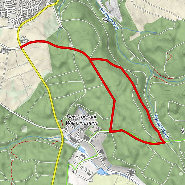
Nordic Walking in Hohenlohe- Große Wasserturmrunde Niedernhall

Nordic Walking

- Best season
-
JanFebMarAprMayJunJulAugSepOctNovDec
- Highest point
- 386 m
- Endpoint
-
Parkplatz am Wasserturm
- Height profile
-
 © outdooractive.com
-

-
AuthorThe tour Nordic Walking in Hohenlohe- Große Wasserturmrunde Niedernhall is used by outdooractive.com provided.
GPS Downloads


Other tours in the regions
-
Hohenlohe
19
-
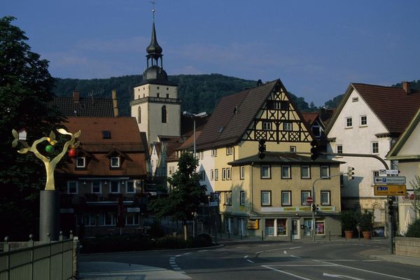
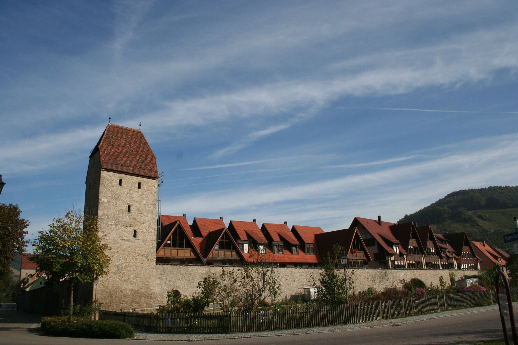
Niedernhall
11