Albtäler Radtour - Etappe 1: Vom Lonetal ins Donautal

Long distance cycling

© Schwäbische Alb - Heidenheimer Brenzregion - Sandra Fischer

© Schwäbische Alb - Heidenheimer Brenzregion - Sandra Fischer
- Brief description
-
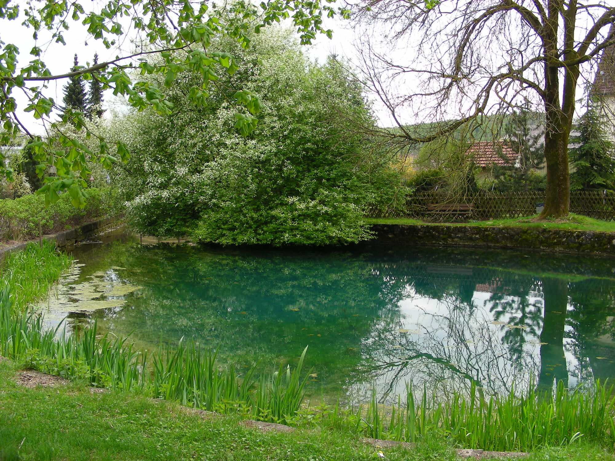
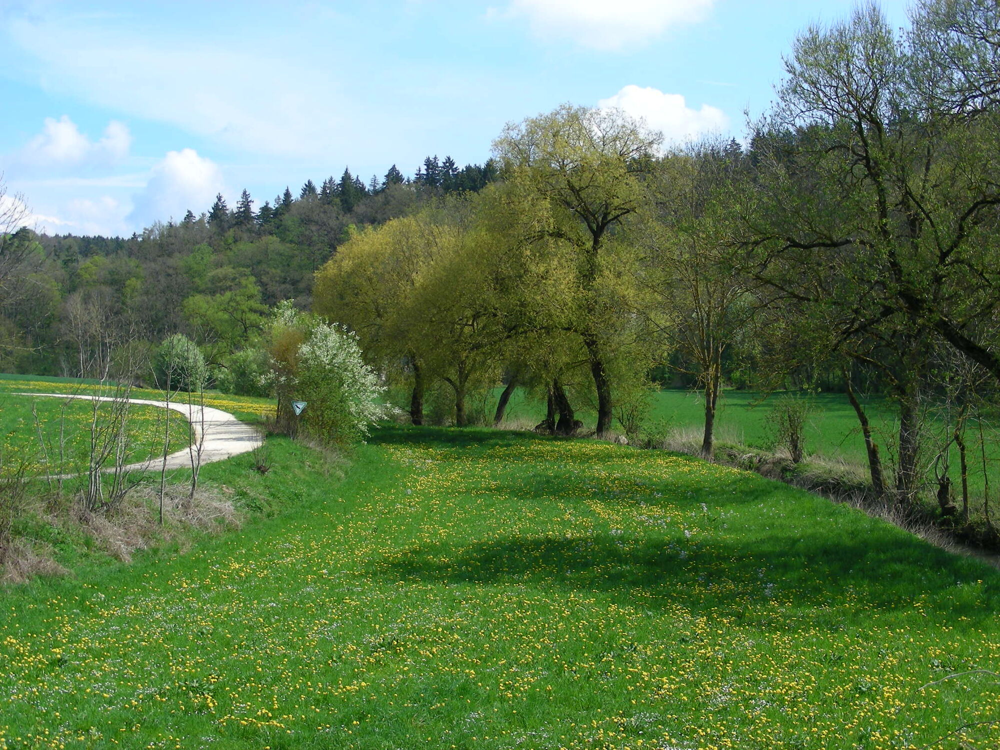
In Urspring entspringt die Lone. Deren Verlauf folgen wir immer leicht abwärts bis zum Fohlenhaus, einer bizarren Felsformation mit Höhle und Rastplatz. Von dort aus geht es nach einem kurzen Anstieg in die Donauebene nach Langenau.
- Difficulty
-
medium
- Rating
-
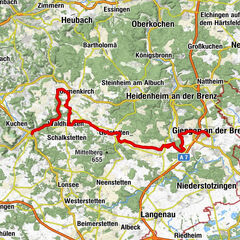
- Route
-
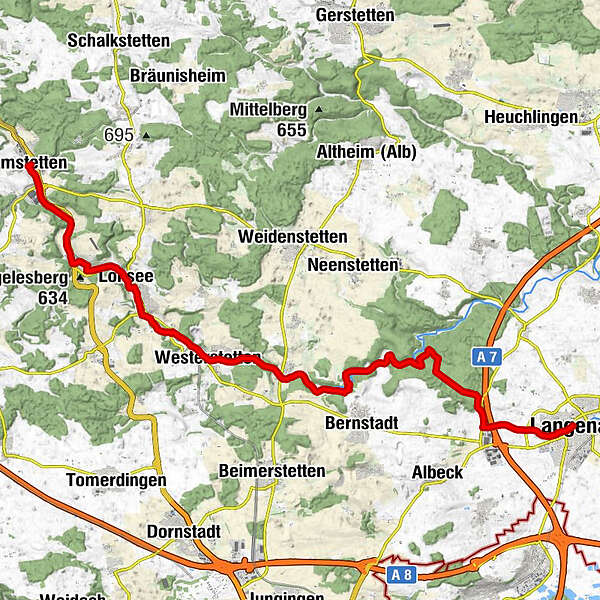
Amstetten (Württ)Alte StationAmstetten0.1 kmAmstetten (Württ)0.2 kmGasthaus Hirsch4.1 kmUrspring4.2 kmLonequelle4.2 kmJohanneskirche4.3 kmLonsee6.6 kmPizzeria Dolce Vita6.6 kmKegelstüble7.3 kmWasserspielplatz7.5 kmHalzhausen8.1 kmAdler10.8 kmGasthaus Rössle10.9 kmPizzeria Ciao Ciao11.1 kmWesterstetten11.1 kmBreitingen14.3 kmSalzbühlhöhle18.9 kmNaturdenkmal Fohlenhaus20.7 kmAussiedlerhof Greiner26.2 kmLangenau28.2 km
- Best season
-
JanFebMarAprMayJunJulAugSepOctNovDec
- Highest point
- 581 m
- Endpoint
-
Langenau - Bahnhofstraße
- Height profile
-
 © outdooractive.com
- Author
-
The tour Albtäler Radtour - Etappe 1: Vom Lonetal ins Donautal is used by outdooractive.com provided.
GPS Downloads


General info
Refreshment stop
Cultural/Historical
Flora
Fauna
A lot of view
Other tours in the regions
-
Schwäbische Alb
20
-
Alb-Donau-Kreis
11
-
Gerstetten
5