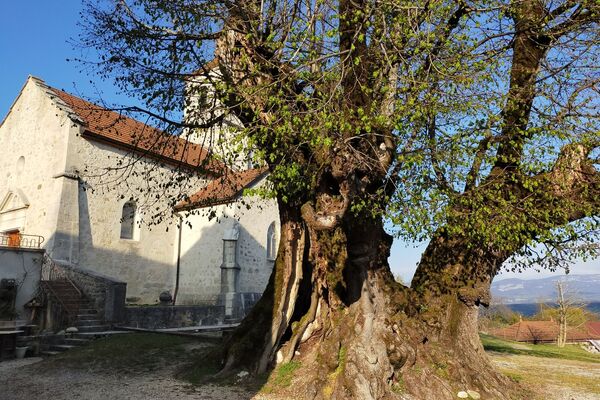
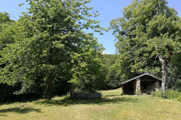
© ©Mathias Spadiliero - OT Terre Valserine

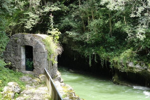
© ©Mathias Spadiliero - OT Terre Valserine

© ©Mathias Spadiliero - OT Terre Valserine

© ©Mathias Spadiliero - OT Terre Valserine

- Brief description
-
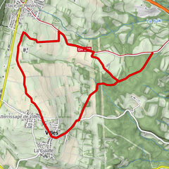
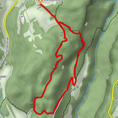
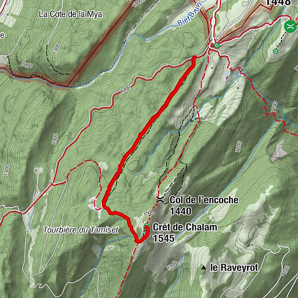
A must-do hike starting from Borne au Lion (town of La Pesse), a round trip of around 2 hours that takes you to the summit of Crêt de Chalam where a breathtaking 360°C view awaits you. An orientation table will allow you to read the landscape.
- Difficulty
-
medium
- Rating
-
- Route
- Best season
-
JanFebMarAprMayJunJulAugSepOctNovDec
- Description
-
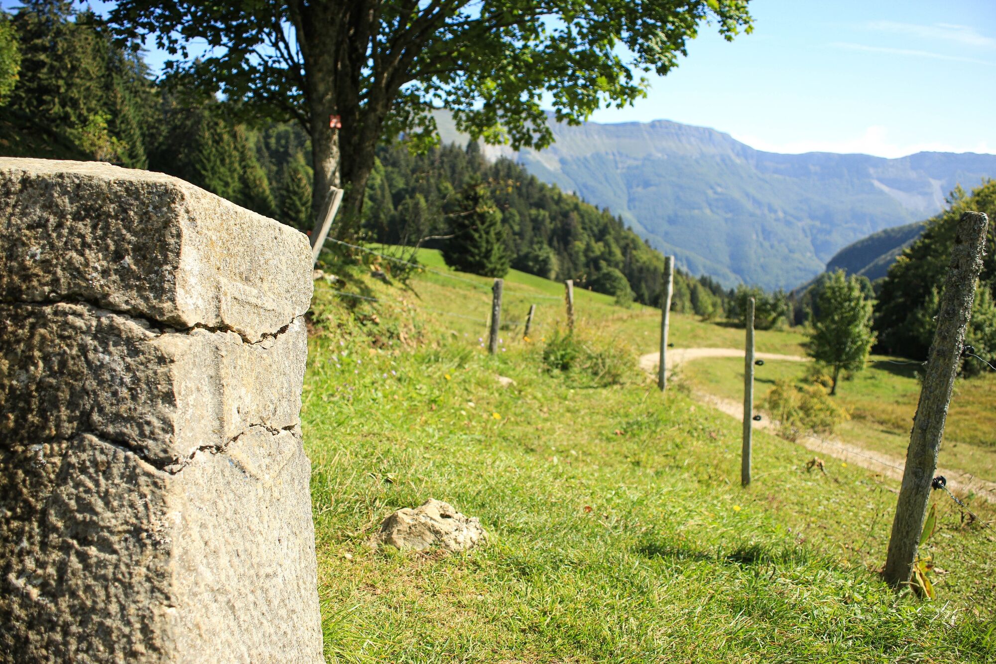
Departure: From the village of La Pesse, follow the road (closed in winter) which leads to the car park at the Lion terminal.
From the car park head towards the Lion terminal, on your right is the starting totem of the hike. Take the path towards Crêt de Chalam (yellow and red markings).
1. After about 200 meters leave the GR de pays and turn left towards Crêt de Chalam, estimated time 1 hour (yellow markings). Climb the path for about 200m.
2. Leave the wide skidding path which continues straight ahead to take the path on the left towards Crêt de Chalam. Along the way is a "lifeline" (wooden milestones connected by a cable) to guide you.
3. After about 40 minutes of climbing, you arrive at the end of the “life line”. A post with blade (under the Crêt 1423m) indicates the Crêt de Chalam 20 min on your left.
At about 150m a wooden footbridge to the left of the path allows you to avoid a wet area.
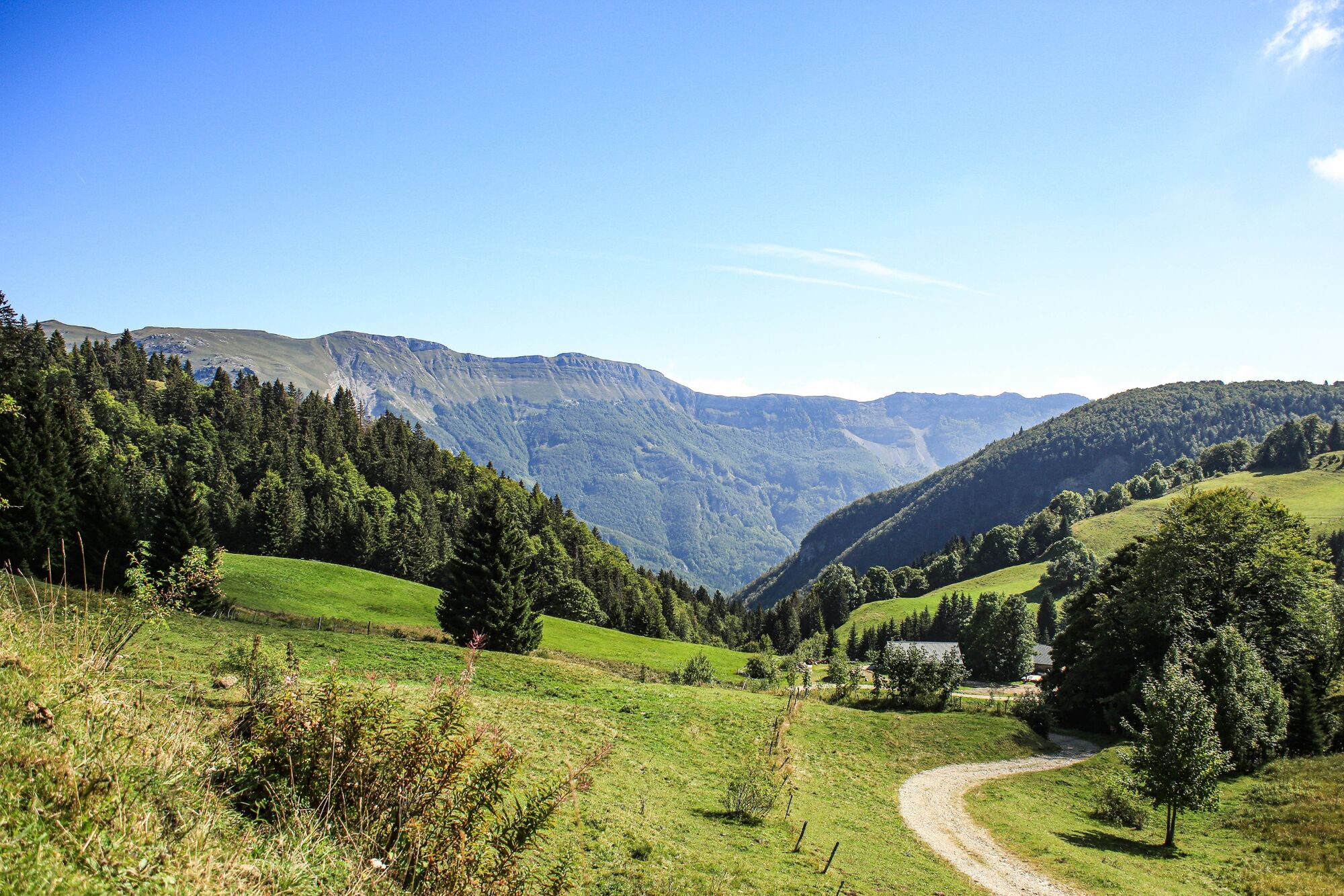
4. Climb ten steps, you gradually come out of the forest, the view begins to emerge.
5. Finally leave the path on your right and continue the ascent on the left by a new series of spiral steps then a path around the Crêt to the summit.
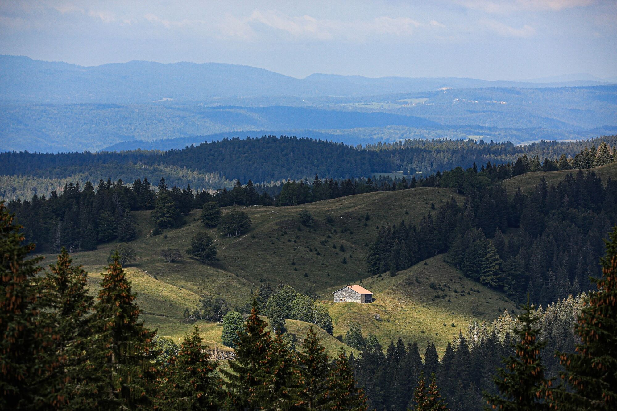
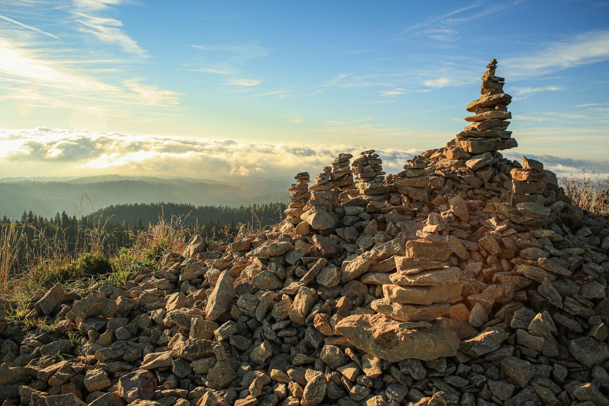
Cheer ! You have arrived at the top, a cairn, a bench, 2 orientation tables and a breathtaking landscape awaits you!
For the return, take exactly the same path as on the way out. Even if other paths seem possible to you, do not venture there. They are dangerous and you can end up in pastures and private properties...
Moreover, by staying on the marked trails, you limit the impact on the fauna and flora. - Highest point
- 1,531 m
- Endpoint
-
Parking de la Borne au Lion
- Height profile
-
 © outdooractive.com
 - Additional information
-
APIDAE tourism data updated on 18/04/2023 by "Office de Tourisme Terre Valserine".
Spotted an error? Write to the owner with the following information:
File name: Borne au Lion - Crêt de Chalam | Record identifier: 6218759 | URL (link) for this Outdooractive page.
-

-
AuthorThe tour Borne au Lion - Crêt de Chalam is used by outdooractive.com provided.
GPS Downloads


General info
Cultural/Historical
Flora
Fauna
A lot of view
Other tours in the regions
-
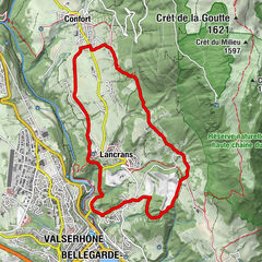
Pays Bellegardien
326
-
Chézery-Forens
113