© Christophe Kaderabek - Haut Bugey Tourisme

© Nathalie Quesney

© Christophe Kaderabek - Haut Bugey Tourisme

© Nathalie Quesney

© Nathalie Quesney

© Christophe Kaderabek - Haut Bugey Tourisme

© Christophe Kaderabek - Haut Bugey Tourisme

© Christophe Kaderabek - Haut Bugey Tourisme

© Christophe Kaderabek - Haut Bugey Tourisme

© Christophe Kaderabek - Haut Bugey Tourisme


- Brief description
-
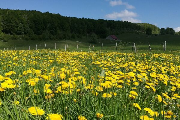
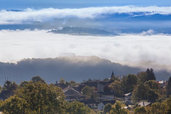
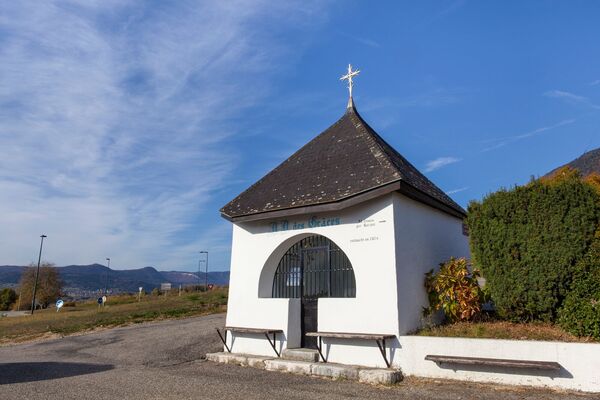
Une randonnée accessible à tous qui permet, avec un moindre effort, d'atteindre le sommet des Monts d'Ain à 1127 m d'altitude. Le parcours est jalonné de nombreux points de vue (Mont-Blanc). Départ de Chamoise, hameau de Saint-Martin du Fresne.
- Difficulty
-
medium
- Rating
-
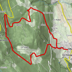
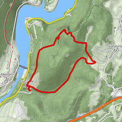
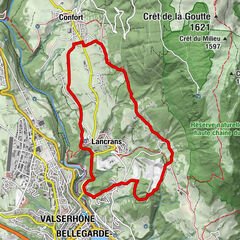
- Route
-
Monts d'Ain (1,127 m)3.8 kmLa Greye7.0 kmLa Ville7.7 km
- Best season
-
JanFebMarAprMayJunJulAugSepOctNovDec
- Highest point
- 1,123 m
- Endpoint
-
Chamoise
- Height profile
-
 © outdooractive.com
 - Additional information
-
APIDAE tourism data updated on 30/06/2021 by "Office de Tourisme du Haut-Bugey".
Spotted an error? Write to the owner with the following information:
File name: Randonnée - De Chamoise aux Monts d'Ain | Record identifier: 538450 | URL (link) for this Outdooractive page.


-

-
AuthorThe tour Randonnée - De Chamoise aux Monts d'Ain is used by outdooractive.com provided.
GPS Downloads


General info
Healthy climate
Insider tip
Flora
Fauna
A lot of view
Other tours in the regions
-
Ain
438
-
Haut Bugey
272