

© © D.Ballet

© © Maxime Ballet

© © Maxime Ballet

© © Maxime Ballet

© © Maxime Ballet

© © Maxime Ballet

© © D.Ballet

© © D.Ballet

© © D.Ballet

© © D.Ballet

- Brief description
-
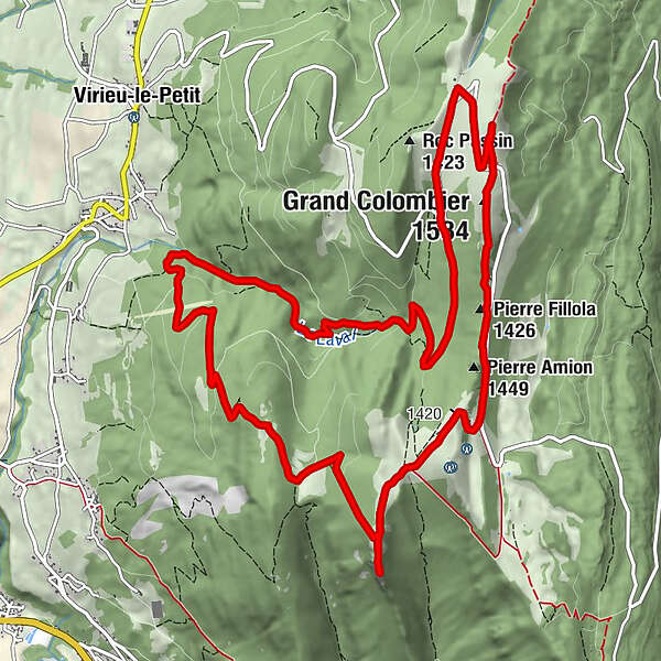
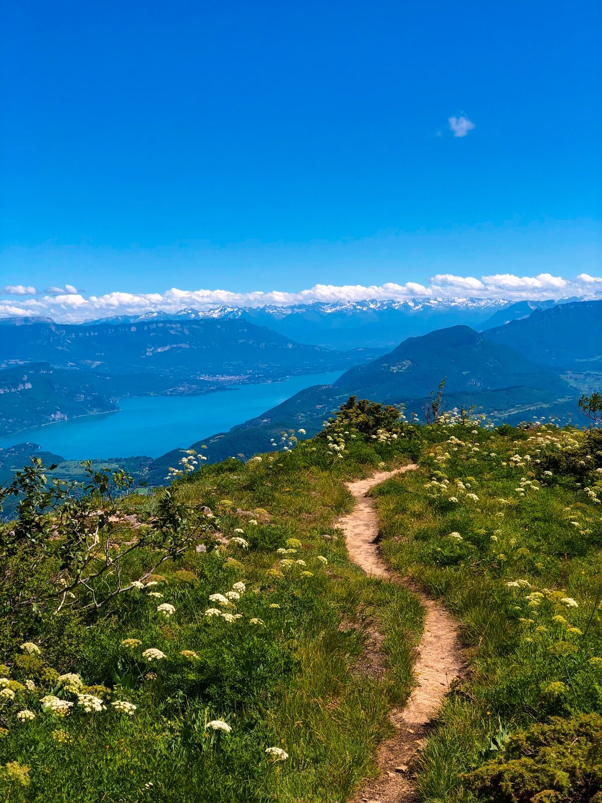
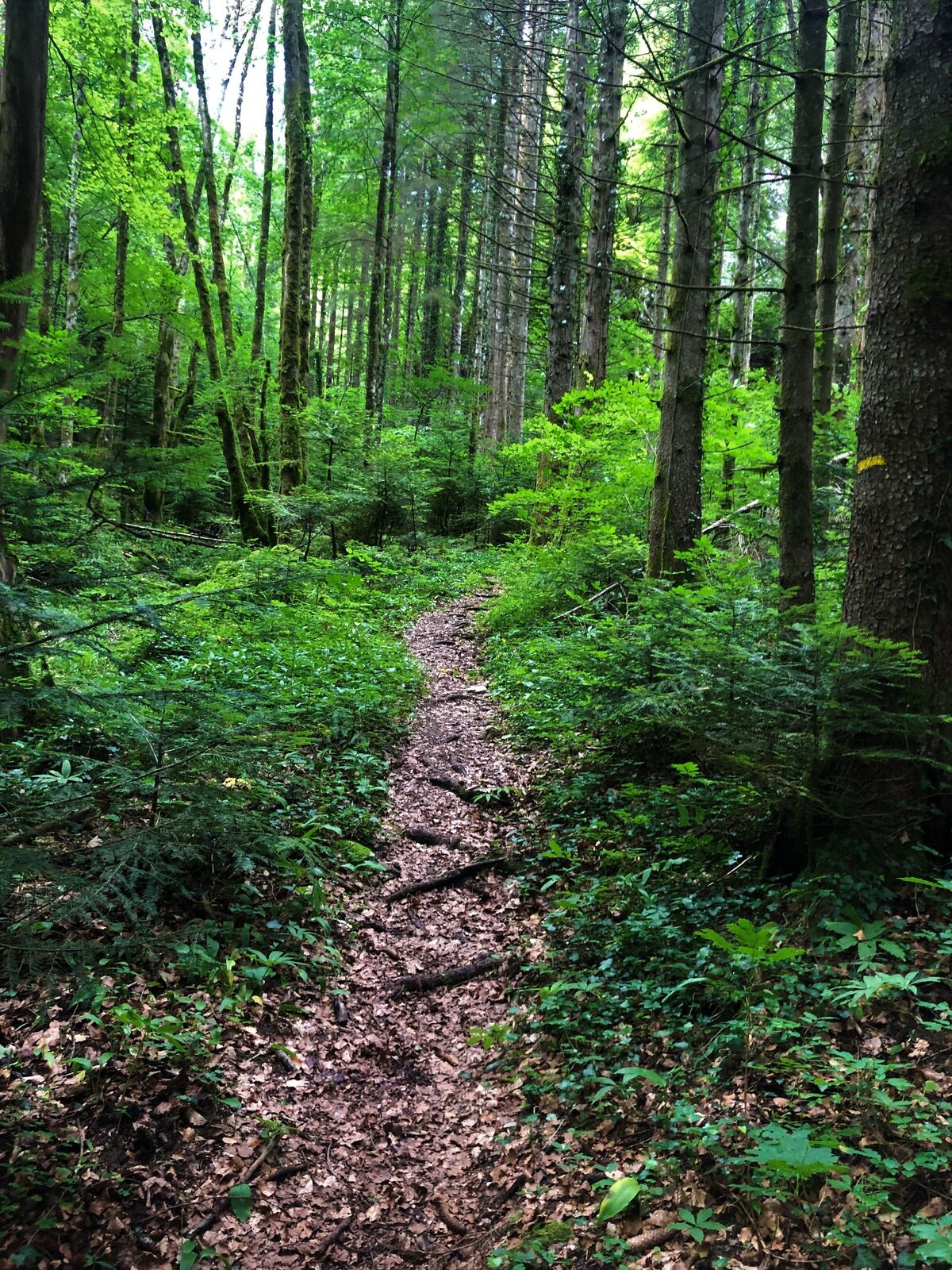
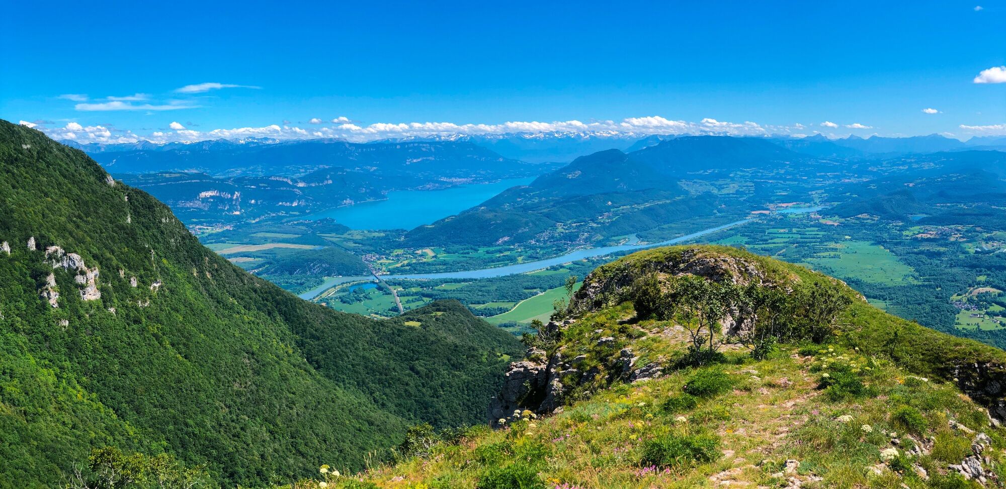
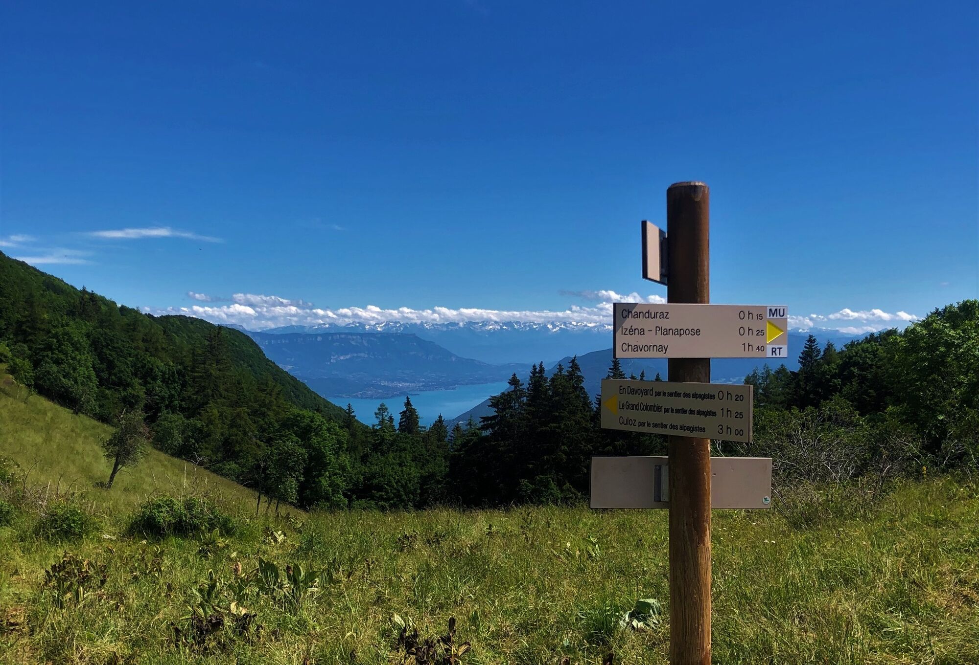
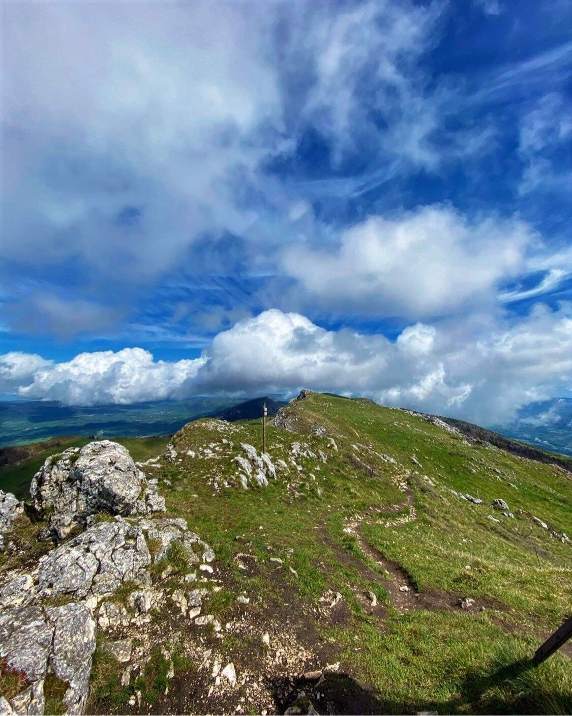
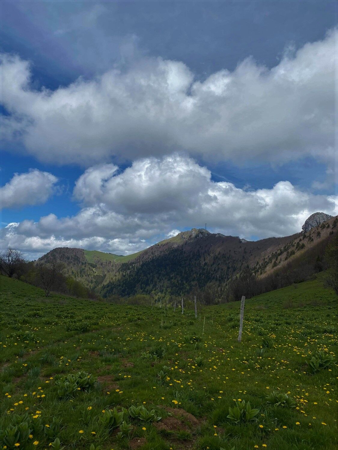
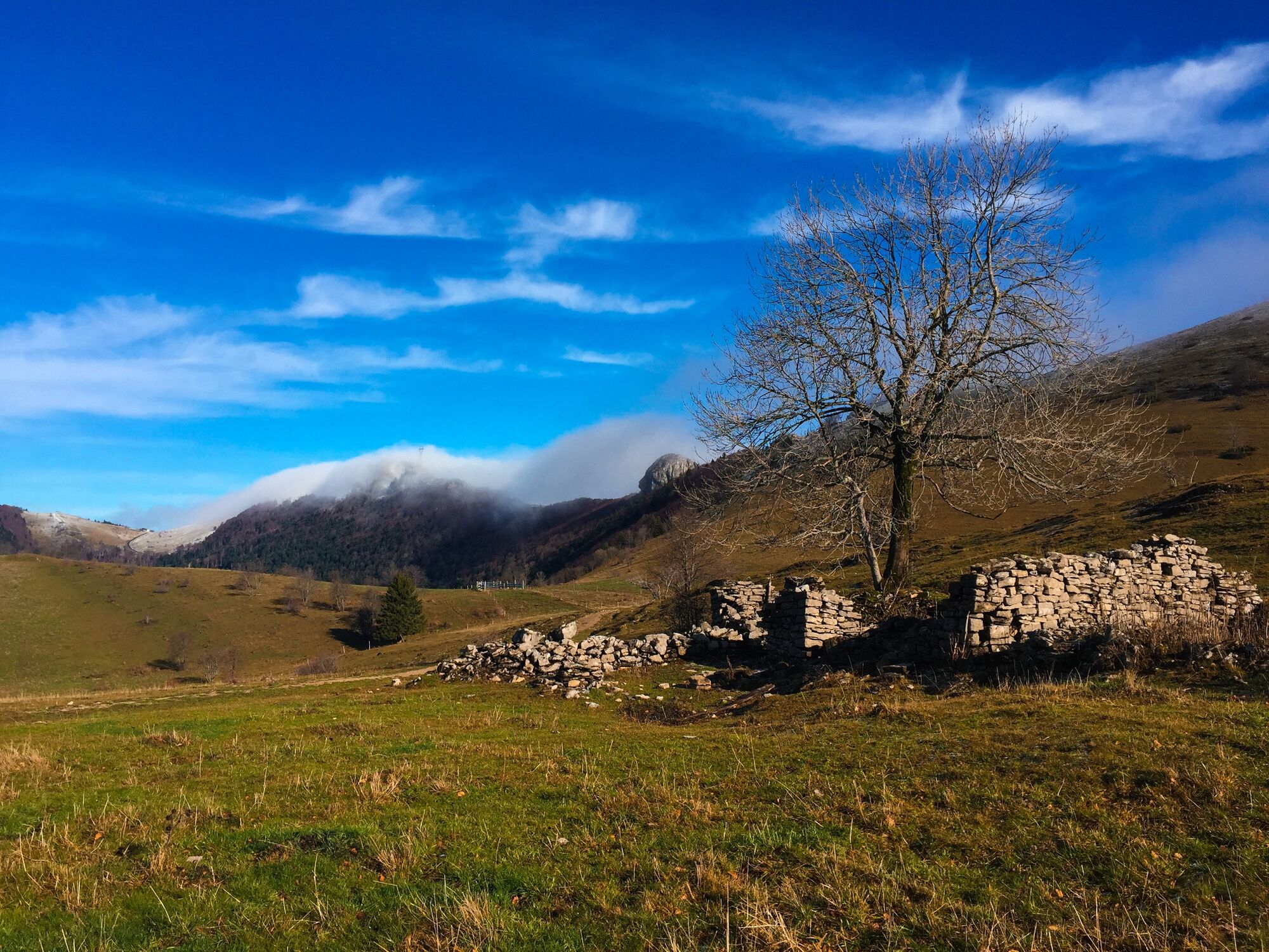
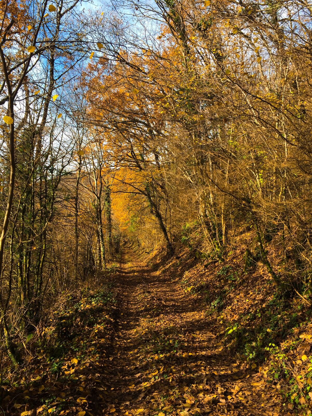
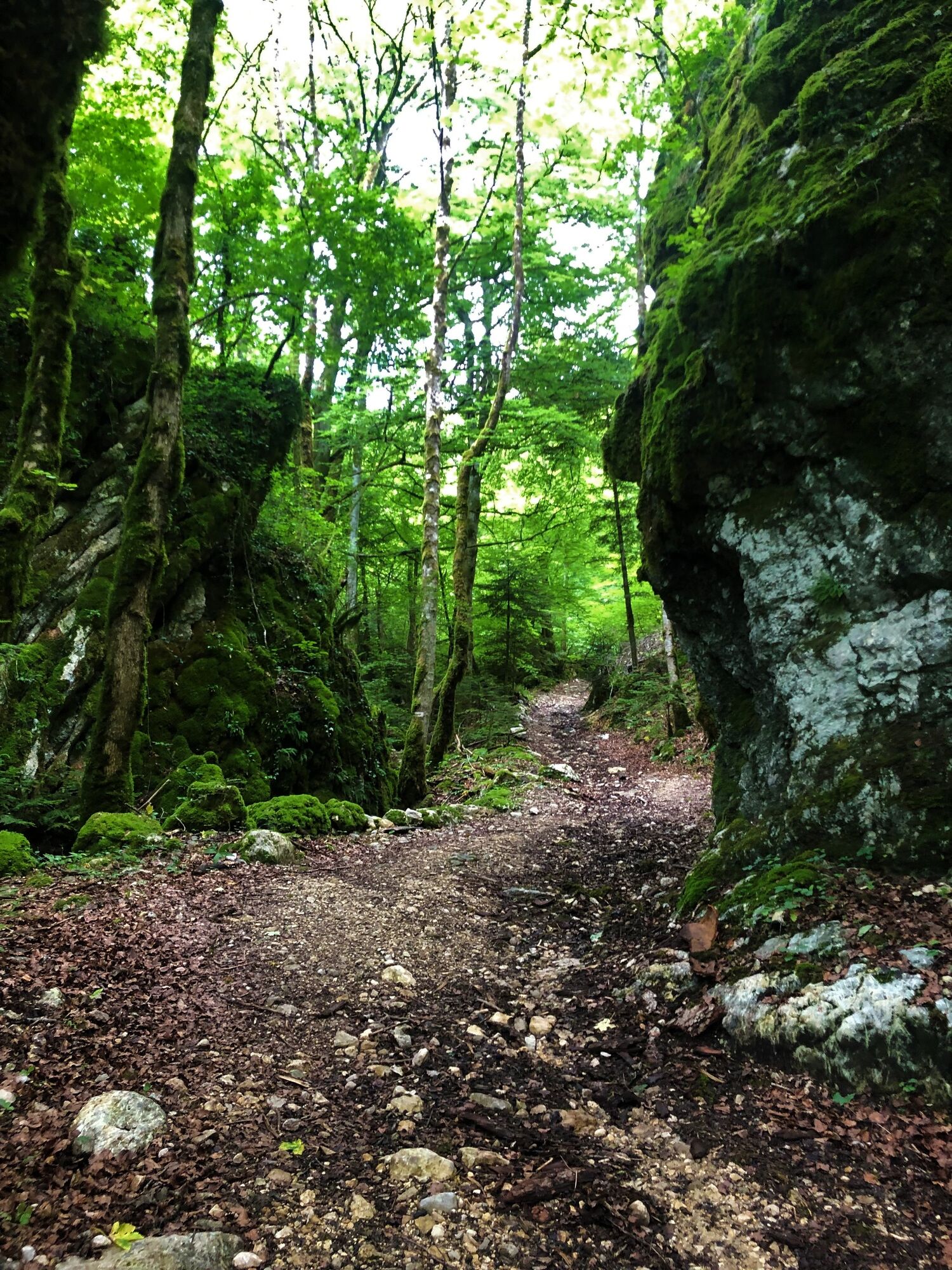
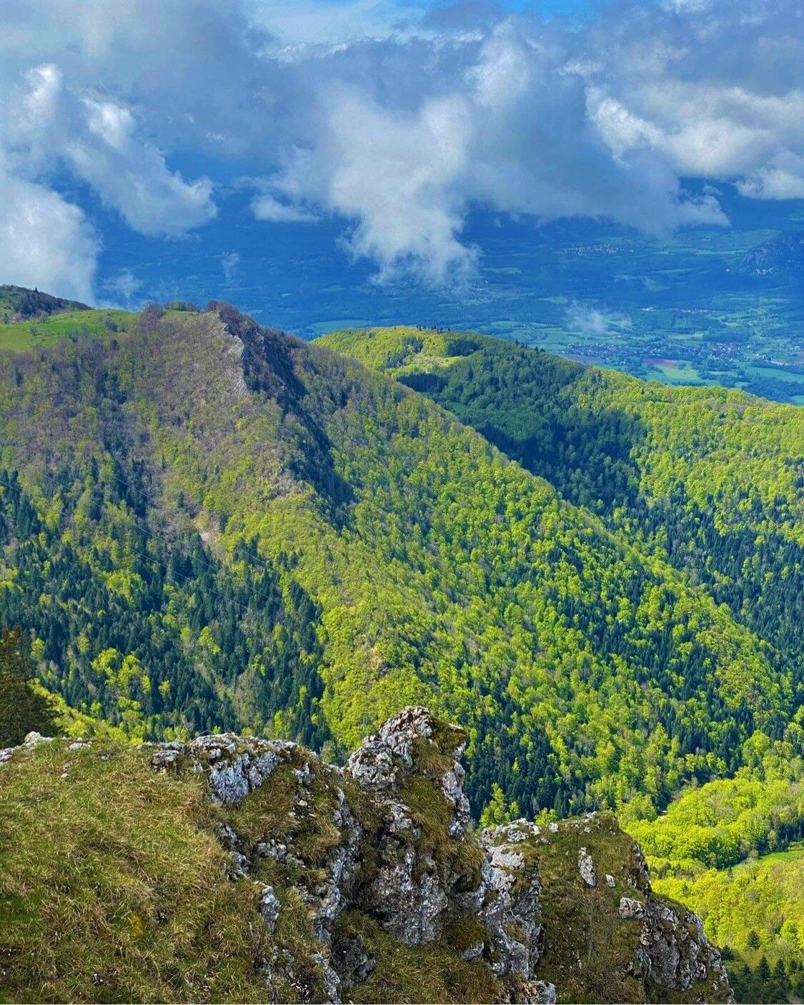
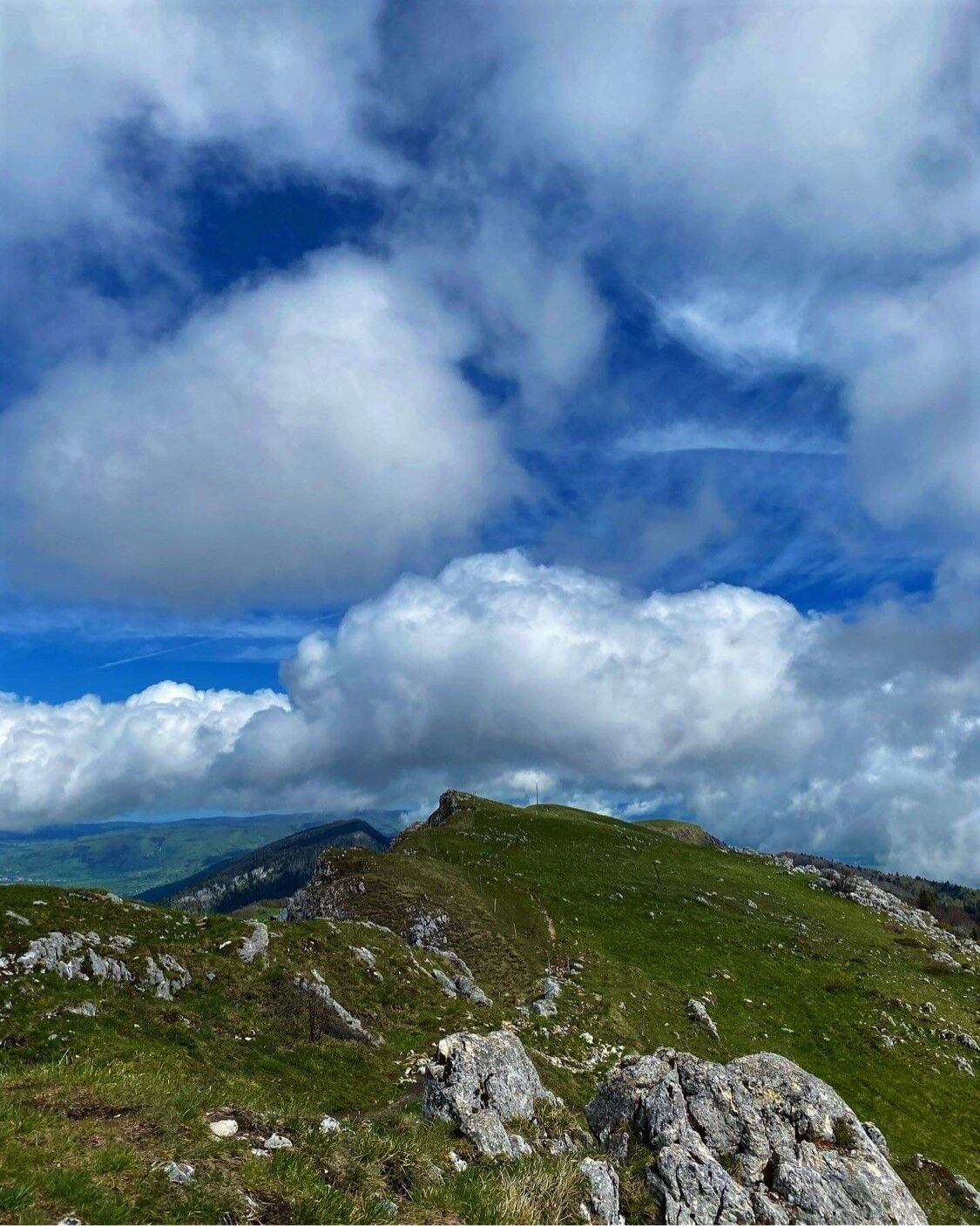
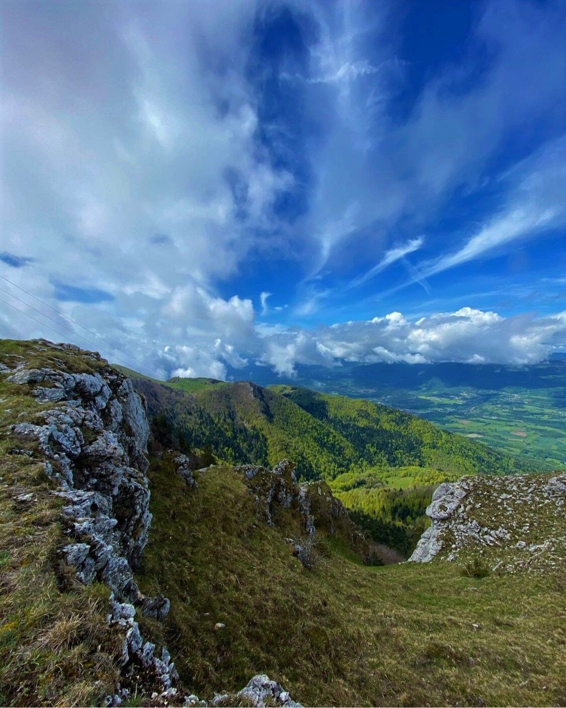
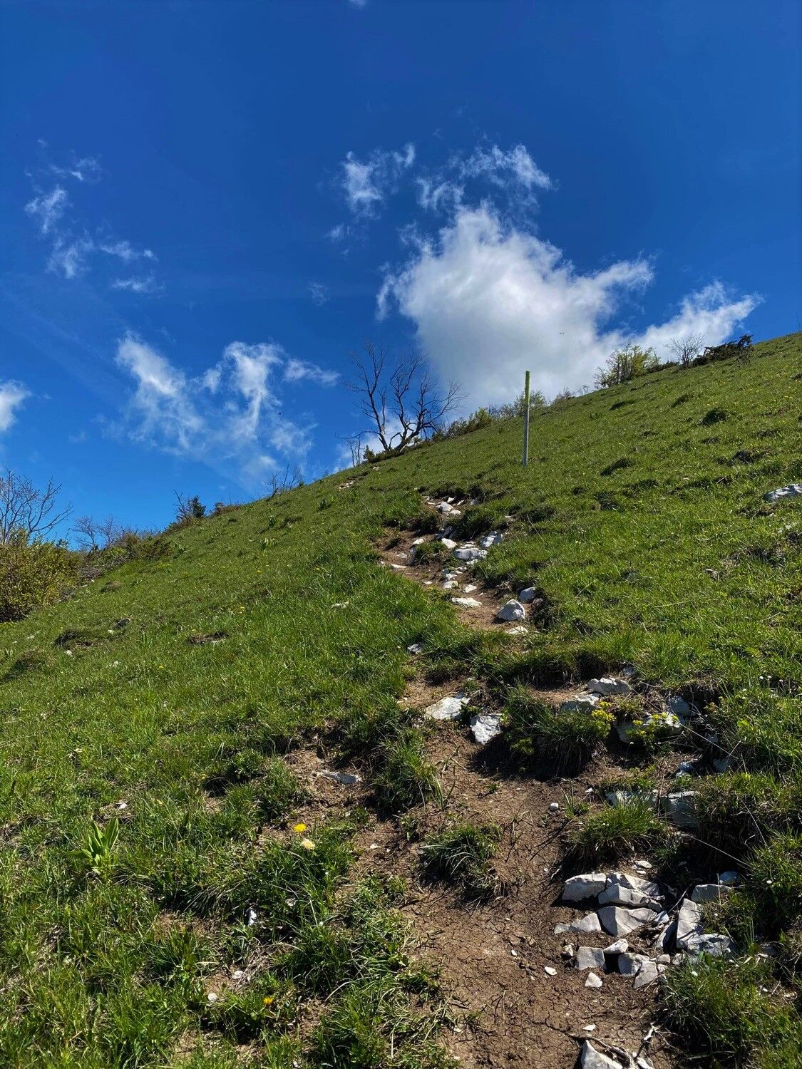
Starting in the calm forest of the Massif du Grand Colombier, the slopes will lead you to the breathtaking panoramic views of the summit and the rock of Chanduraz during your ascent from the hamlet of Munet to Virieu-le-Petit.
- Difficulty
-
difficult
- Rating
-
- Route
-
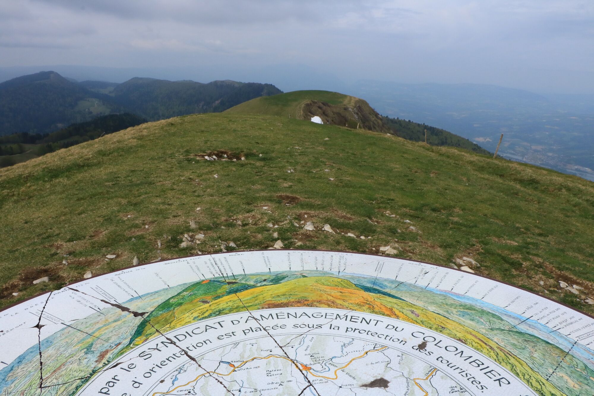
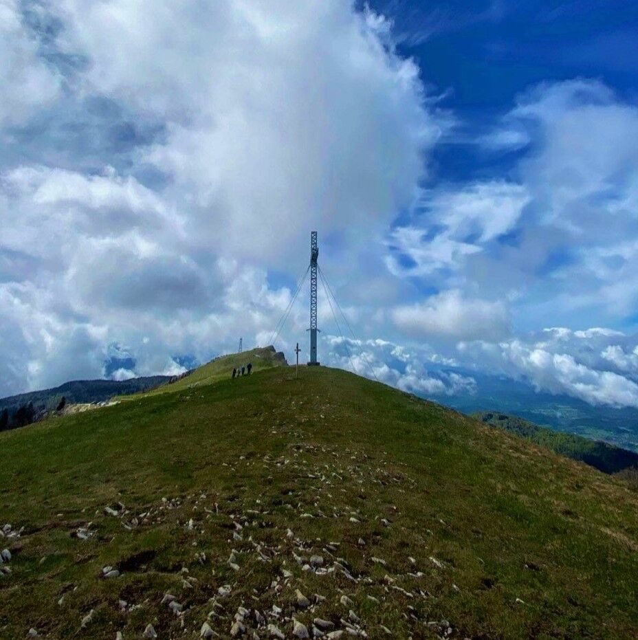
Grand Colombier (1,534 m)7.4 kmPierre Fillola (1,426 m)8.3 kmPierre Amion (1,449 m)8.7 kmAuberge du Colombier9.4 kmChamp du Raz11.2 kmSur le Giet13.2 kmAux Echarmelles14.3 km
- Best season
-
JanFebMarAprMayJunJulAugSepOctNovDec
- Description
-
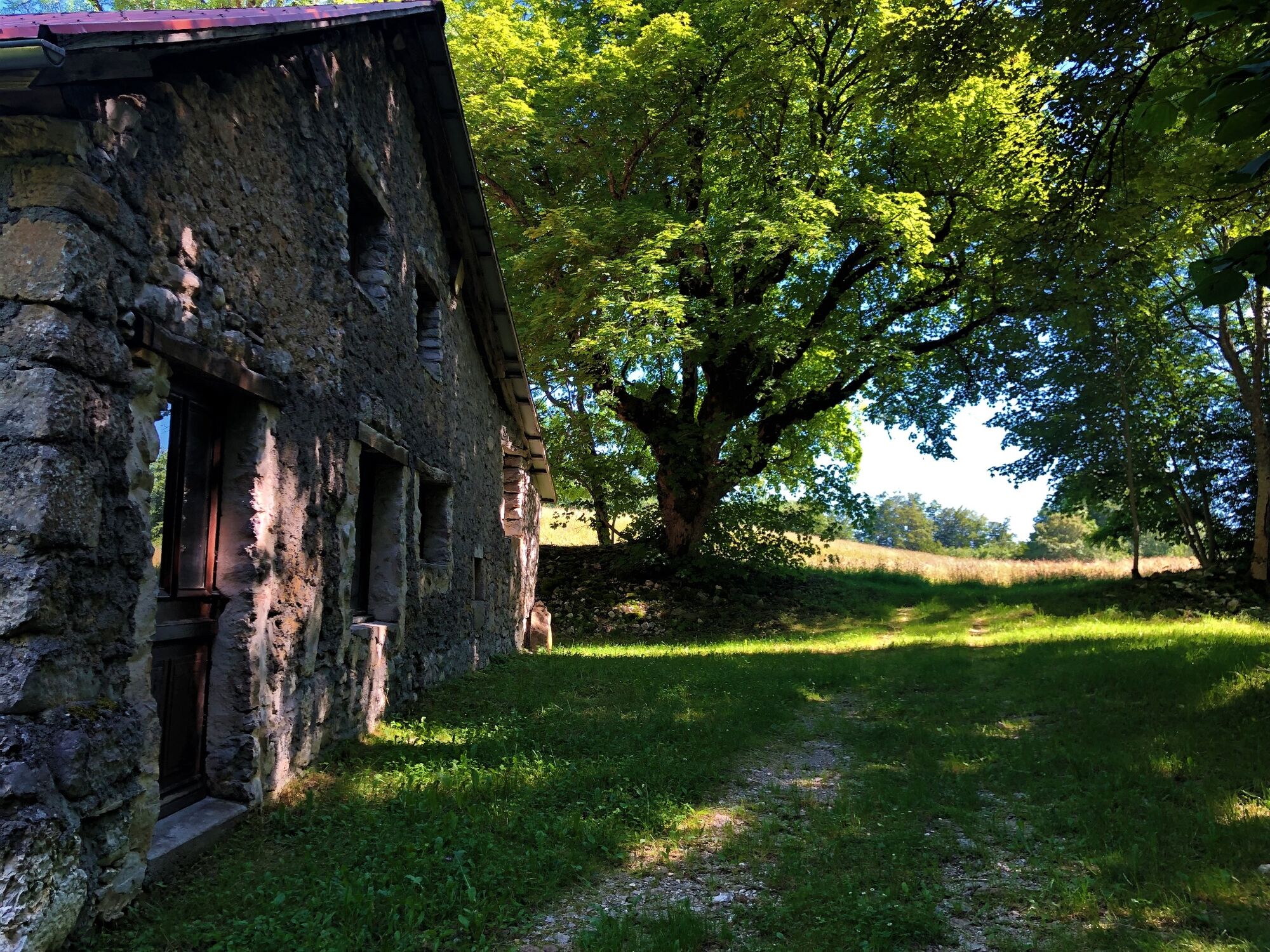
Starting point: go to Assin, hamlet of Virieu le Petit and follow the indications that will lead you to a road that can be driven on. After 600 m, you will find a small car park in the woods.
- Highest point
- 1,527 m
- Endpoint
-
L'arrivée est située au parking des départs randonnée de Munet, hameau d'Arvières-en-Valromey
- Height profile
-
 © outdooractive.com
 - Additional information
-
APIDAE tourism data updated on 25/10/2022 by "Office de Tourisme Bugey Sud Grand Colombier".
Spotted an error? Write to the owner with the following information:
File name: Parcours trail : montée du Grand Colombier depuis Munet | Record identifier: 5849329 | URL (link) for this Outdooractive page.


- Author
-
The tour Running trail: Climb of the Grand Colombier from Munet is used by outdooractive.com provided.
GPS Downloads


General info
Refreshment stop
Flora
A lot of view
Other tours in the regions
-
Ain
35
-
Bugey Sud
16
-
Haut Valromey
14