

© ©Maxime Ballet

© © Maxime Ballet

© © Maxime Ballet

© © Maxime Ballet

© © Maxime Ballet

© ©Maxime Ballet

© © Maxime Ballet

© © Maxime Ballet

© © Maxime Ballet

© © Maxime Ballet

- Brief description
-
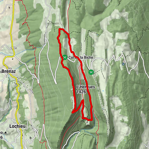
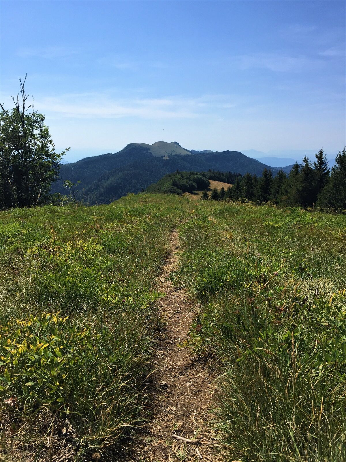
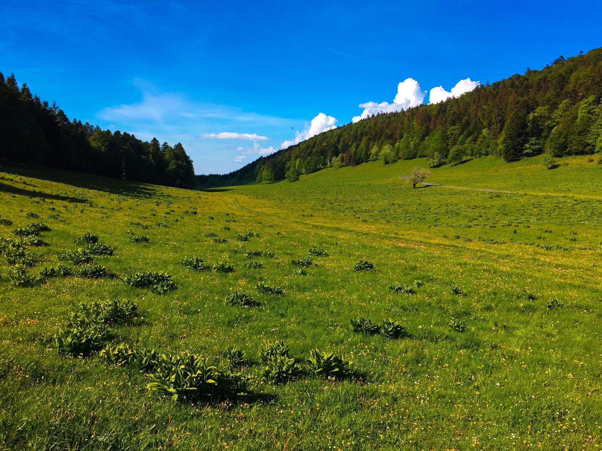
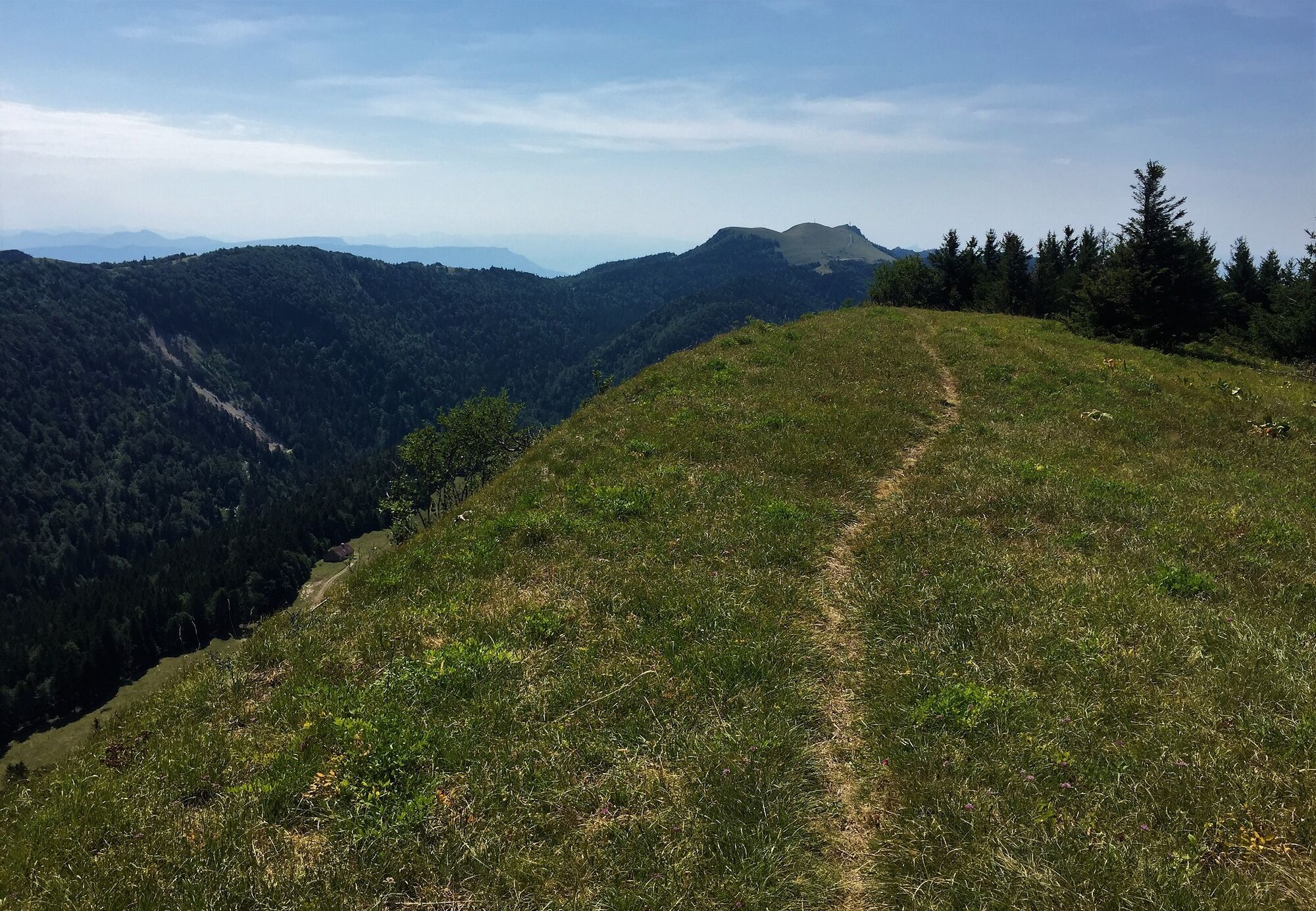
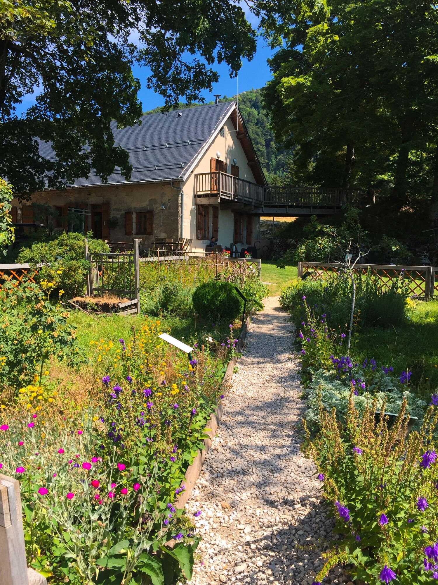
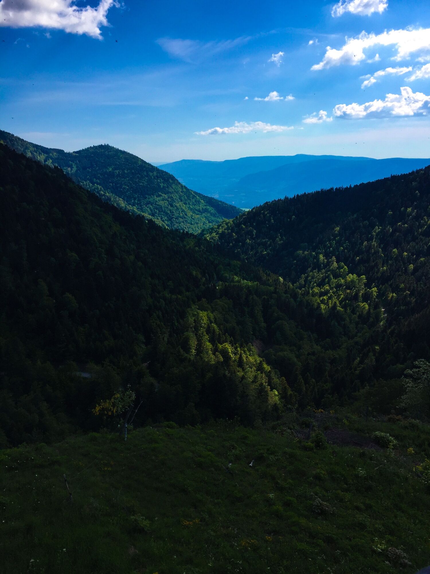
Starting from the hairpin down the Col de la Biche, the Hergues ridge circuit offers a succession of panoramic views to cut through the brimstone by following the ridges to the magnificent viewpoint from the garden of the Chalet d'Arvières.
- Difficulty
-
medium
- Rating
-
- Route
-
La Grange d'en haut0.5 kmL'Hergues (1,426 m)3.9 kmGrange de Falavier5.5 kmSource de Saint-Arthaud6.3 km
- Best season
-
JanFebMarAprMayJunJulAugSepOctNovDec
- Highest point
- 1,422 m
- Endpoint
-
L'arrivée est située à la Grange d'en Bas à quelques centaines de mètres du col de la Biche
- Height profile
-
 © outdooractive.com
 - Additional information
-
APIDAE tourism data updated on 25/10/2022 by "Office de Tourisme Bugey Sud Grand Colombier".
Spotted an error? Write to the owner with the following information:
File name: Parcours trail sur les crêtes d'Hergues | Record identifier: 5849041 | URL (link) for this Outdooractive page.


- Author
-
The tour Running trail on the ridge of Hergues is used by outdooractive.com provided.
GPS Downloads


General info
Refreshment stop
Cultural/Historical
Flora
Fauna
A lot of view
Other tours in the regions
-
Ain
35
-
Bugey Sud
16
-
Haut Valromey
14