

© N.Quesney_HautBugeyTourisme

© Claude Perrier

© Claude Perrier

- Brief description
-
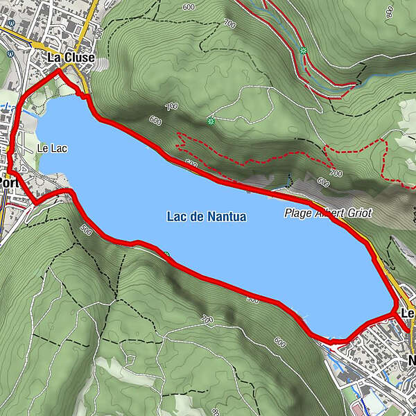
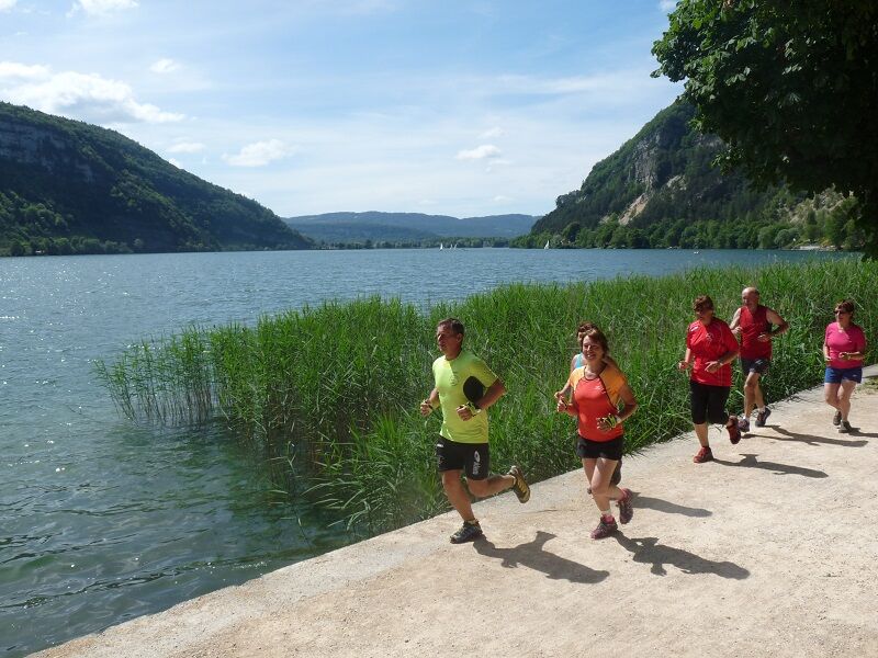
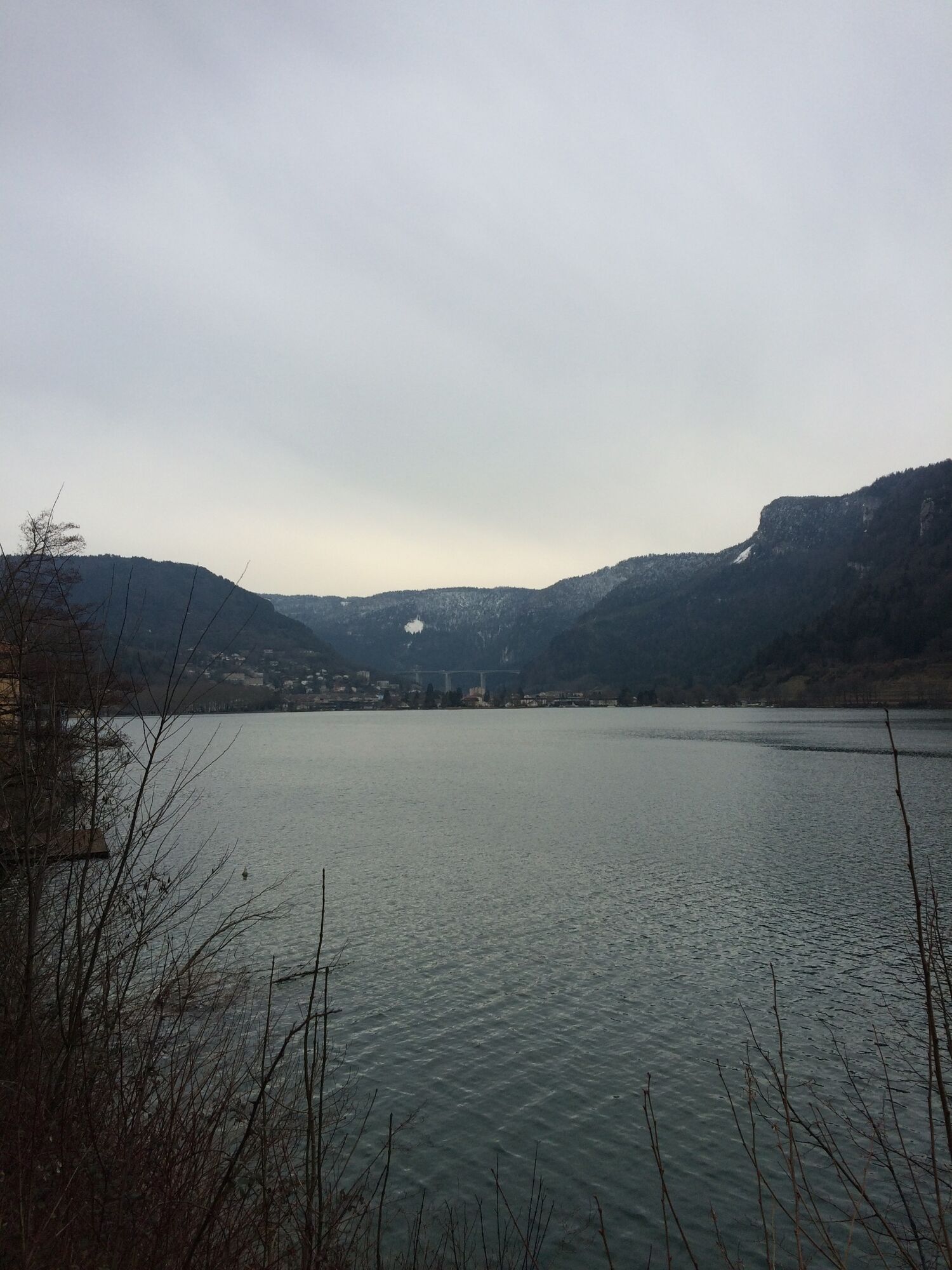
Profitez du magnifique cadre de Nantua ; entre lac et montagne. Un parcours plat idéal en récup’ ou pour les adaptes de courses sur route.
- Difficulty
-
easy
- Rating
-
- Route
-
Le ChateauNantuaÉglise Sainte-Madeleine2.8 kmPort2.9 kmLa Cluse3.8 kmBelle Rive5.2 kmLe Chateau6.9 kmNantua6.9 km
- Best season
-
JanFebMarAprMayJunJulAugSepOctNovDec
- Highest point
- 488 m
- Endpoint
-
Office de tourisme, Nantua
- Height profile
-
 © outdooractive.com
 - Additional information
-
APIDAE tourism data updated on 29/07/2022 by "Office de Tourisme du Haut-Bugey".
Spotted an error? Write to the owner with the following information:
File name: Parcours de trail n°1 - Le tour du lac de Nantua | Record identifier: 5805583 | URL (link) for this Outdooractive page.

-

-
AuthorThe tour Le tour du lac de Nantua - Parcours de trail n°1 is used by outdooractive.com provided.
GPS Downloads


General info
Refreshment stop
A lot of view
Other tours in the regions
-
Ain
33
-
Haut Bugey
25