© Office de tourisme du beaujolais

© Office de tourisme du beaujolais

- Brief description
-
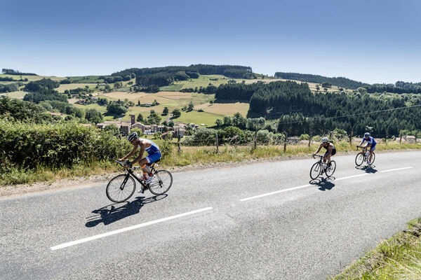
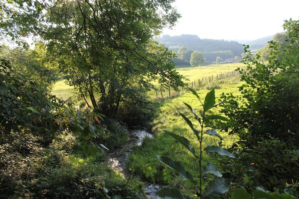
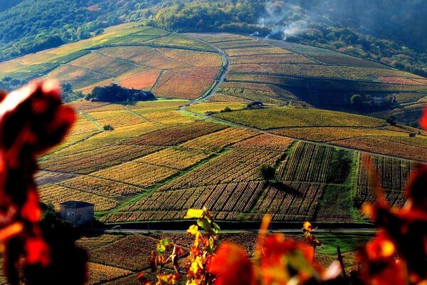
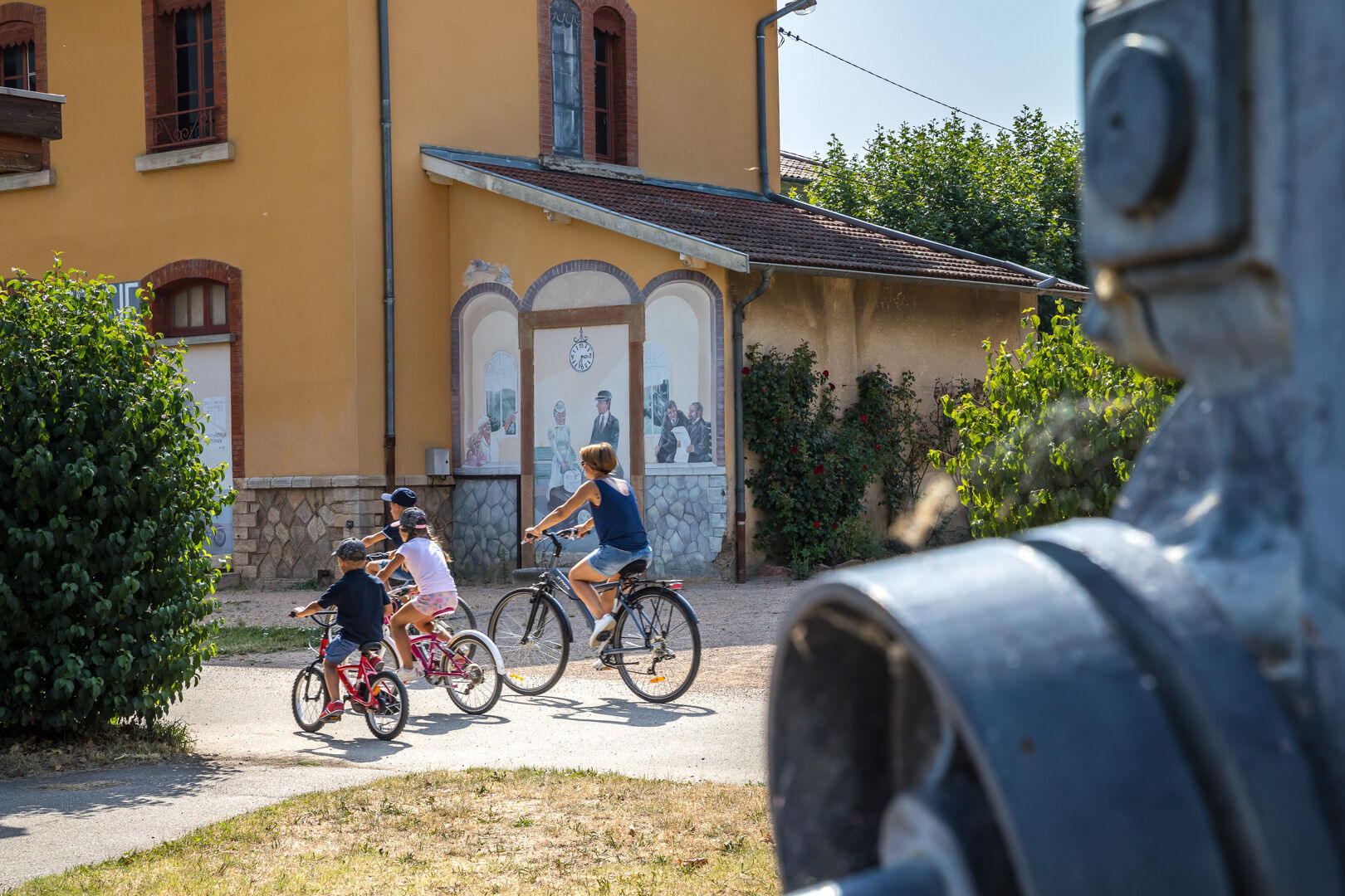
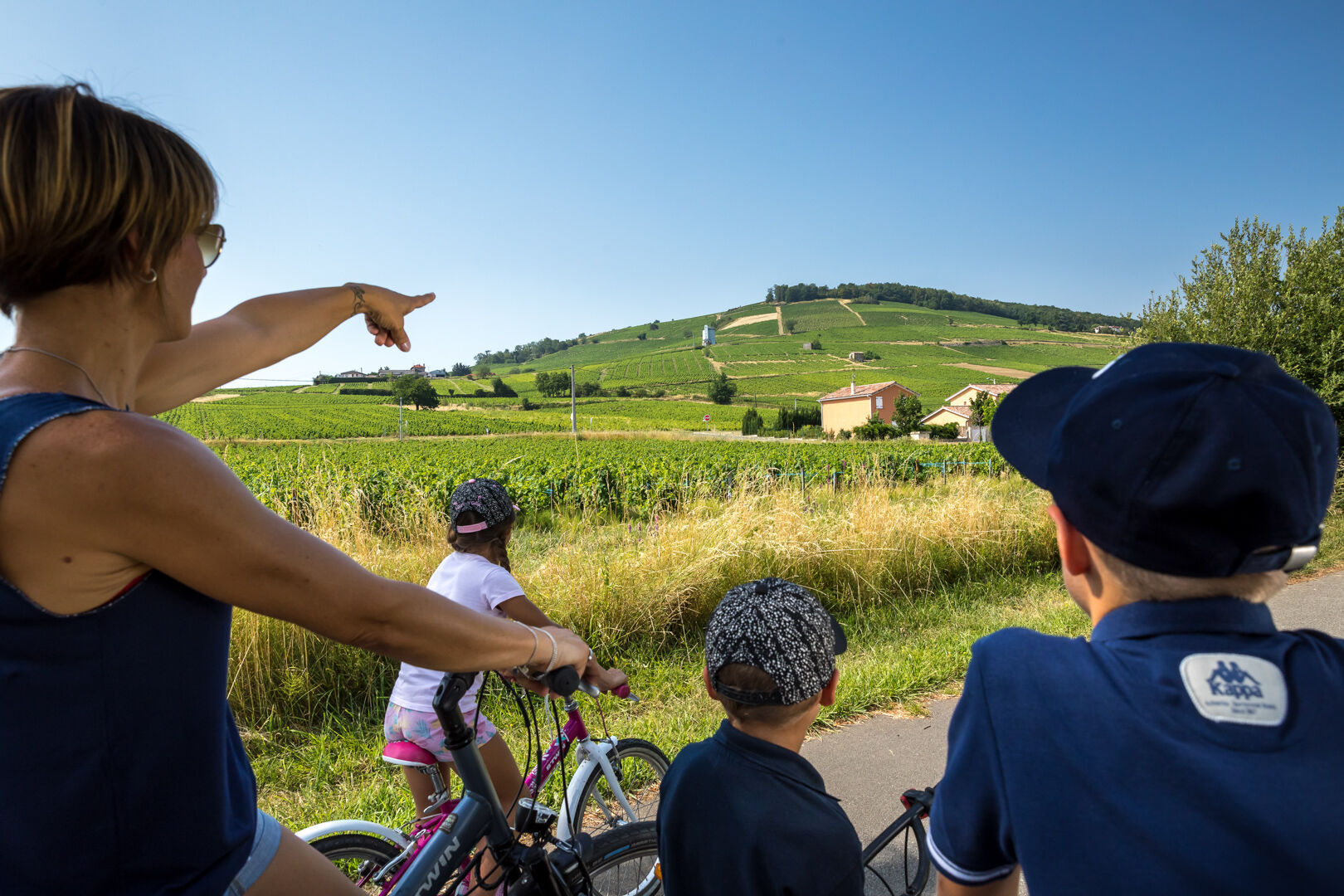
You can explore the secrets of the Beaujolais countryside on foot, by bike, on rollerblades, in a stroller or wheelchair with family or friends.
- Difficulty
-
easy
- Rating
-
- Route
-
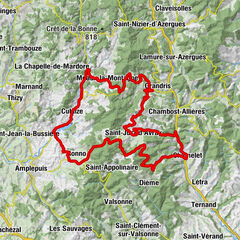
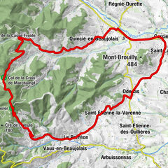
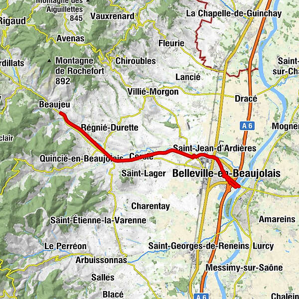
La Ville-Est0.3 kmLe Port1.9 kmAbbatiale de l'Assomption2.5 kmBelleville-en-Beaujolais3.0 kmBalmont3.9 kmSaint-Jean-d'Ardières4.6 kmPoint Vélo Saint-Jean d’Ardières6.3 kmLes Granges7.0 kmBergeron9.5 kmBergeron9.8 kmCercié10.2 kmLa Glacière11.4 kmSaint-Vincent13.3 kmRevolon16.5 kmLa Chevalière17.2 km
- Best season
-
JanFebMarAprMayJunJulAugSepOctNovDec
- Description
-
Running along the Ardières valley, the Voie Verte cycle path stretches over 15 km between Belleville and Beaujeu Accessible on foot, by bike, on rollerblades and for people with reduced mobility (excluding motor vehicles). Easy trail, smooth, completely safe. Tarmac coating. Access to the Saint Jean d'Ardières, Cercié, Régnié Durette and Beaujeu cycling points. For those who like more sporty routes, there are 10 cycle tourism loops around the Voie Verte. You can immerse yourself even more in the Beaujolais vineyards or the forests by walking along the curves of our hillsides.
The Voie Verte cycle path and the other cycle paths are managed by the Rhône department. - Highest point
- 290 m
- Endpoint
-
Beaujeu
- Height profile
-
 © outdooractive.com
 - Additional information
-
APIDAE tourism data updated on 23/02/2023 by "Destination Beaujolais".
Spotted an error? Write to the owner with the following information:
File name: La Voie Verte du Beaujolais | Record identifier: 109301 | URL (link) for this Outdooractive page.
-

-
AuthorThe tour La Voie Verte du Beaujolais is used by outdooractive.com provided.
GPS Downloads


General info
A lot of view
Other tours in the regions
-
Rhône
43
-
Saône-Beaujolais
25