
- Brief description
-
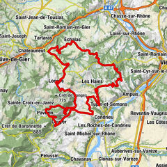
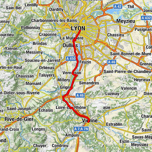
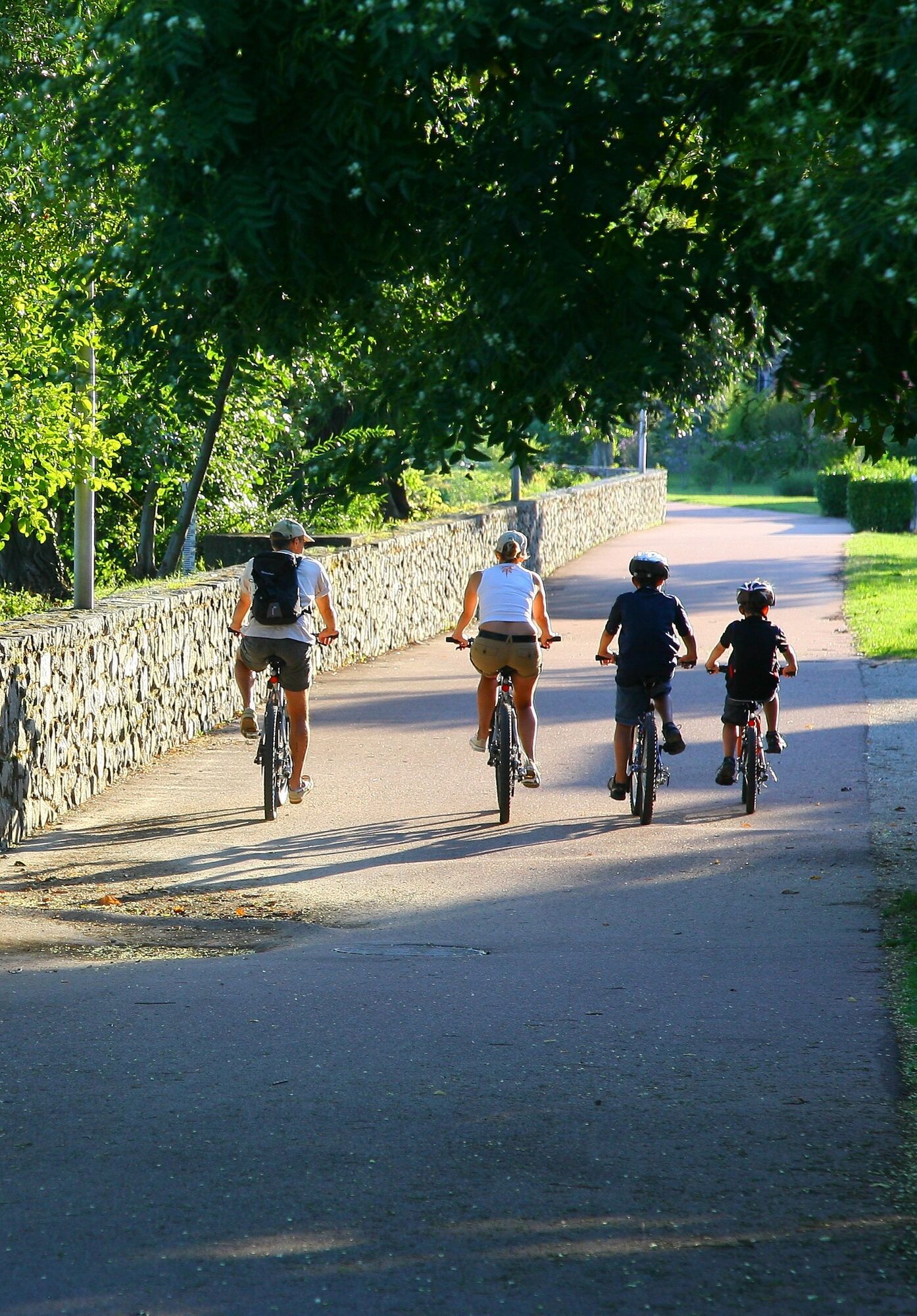
Via Rhôna is the name of this bicycle track along the river, which joins Geneva to the Mediterranean sea (650 km) and goes through Saint-Romain-en-Gal.
- Difficulty
-
medium
- Rating
-
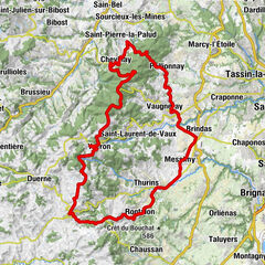
- Route
-
Lyon0.0 kmSainte-Foy-lès-Lyon3.5 kmLa Mulatière4.2 kmOullins5.6 kmLa Saulaie6.1 kmLéo Sushi6.6 kmPierre-Bénite7.3 kmSaint-Fons8.3 kmVénissieux8.4 kmChez Ruben et Bénédicte10.1 kmIrigny11.0 kmVernaison14.0 kmÉglise Saint-Denis14.0 kmTernay20.3 kmGivors24.1 kmQuartier Du Pont24.6 kmLe Freyssinet27.3 kmRuisseau Rolland27.7 kmLe Socca27.9 kmLoire-sur-Rhône28.1 kmLe Bourg28.2 kmLe Capas28.6 kmLa Roche Moussy29.6 kmÎle Barlet31.3 kmBarlet31.8 kmÎle des Sauveteurs32.5 kmLa Buvette de l'Île Barlet32.6 kmLa Roche33.4 kmSaint-Romain-en-Gal33.9 kmVienne35.3 kmÉglise Sainte-Colombe35.4 kmLe Bourg35.5 kmSainte-Colombe35.7 km
- Best season
-
JanFebMarAprMayJunJulAugSepOctNovDec
- Description
-
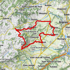
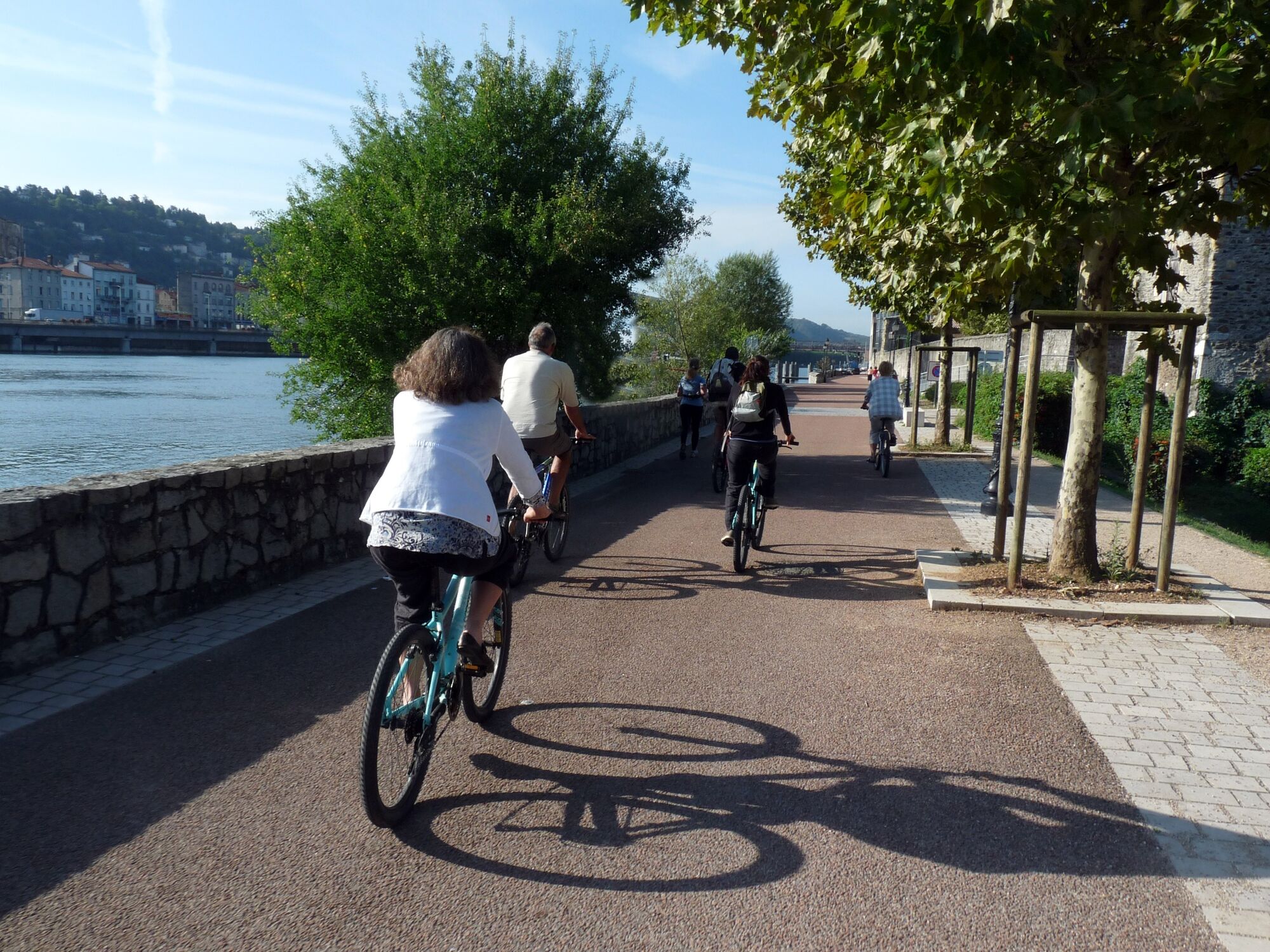
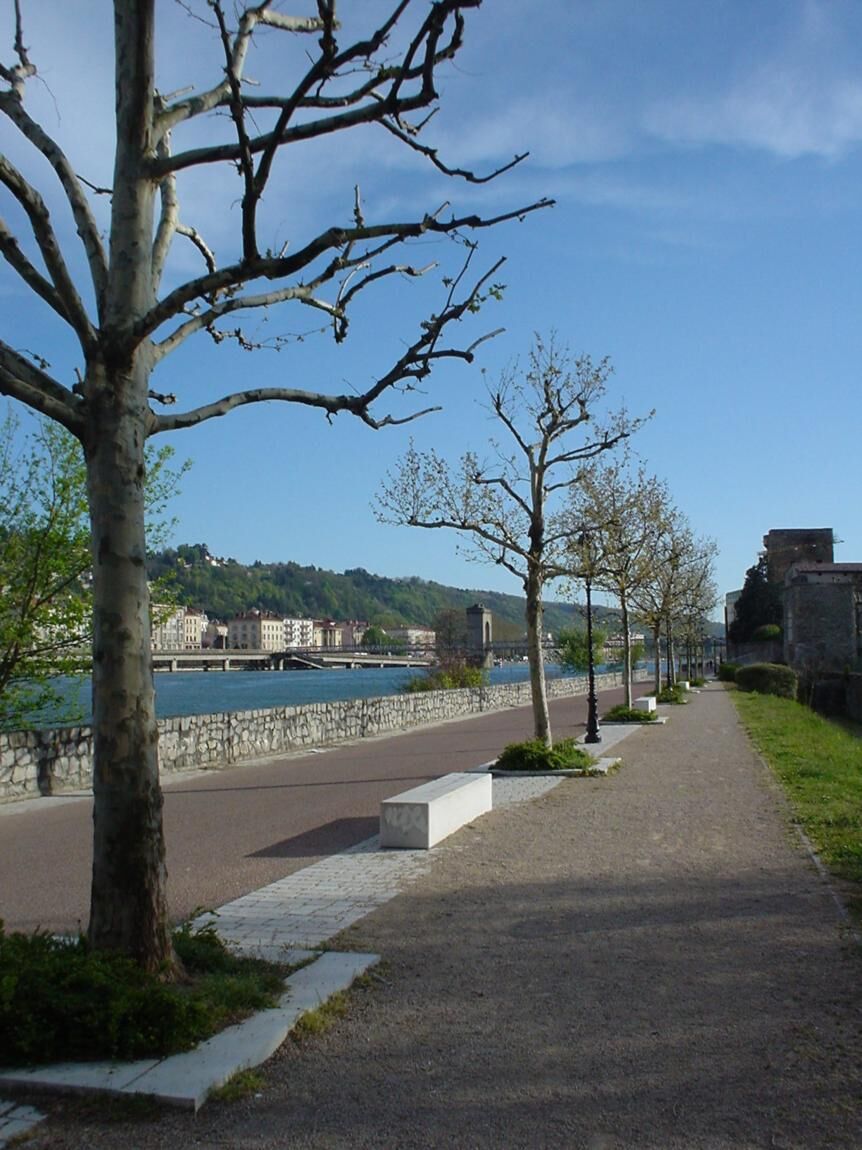
The ViaRhôna/Eurovélo 17 is an 817 km greenway cycle route which winds its way through the Rhône valley, crossing 3 regions and 12 departments.
As a link between Lake Geneva and the Mediterranean, ViaRhôna
allows you to discover the banks of the Rhône, to get close to an exceptional river heritage and to discover the territories along the river. It invites us to (re)discover one of the founding elements of our identity and reveals to us the richness and originality of the Rhone's culture.
A peaceful experience reserved for soft modes of transport
and accessible to people with reduced mobility. An opportunity to stroll along the banks of the wild Rhone by bike, rollerblades, scooter or on foot.
Auvergne-Rhône-Alpes is home to 2/3 of the ViaRhôna itinerary.
Some sections are greenways on protected sites accessible to all:
accompanied children, adults, pedestrians, cyclists, able-bodied or
disabled people... Each stage is an opportunity to discover the diversity of the region. From the Alpine landscapes to the urban banks in the heart of Lyon, from the terraced vineyards of the Côtes du Rhône to the castles of Saint-Vallier
or Tournon, the tourist wealth is infinite! - Highest point
- 191 m
- Height profile
-
 © outdooractive.com
 - Additional information
-
APIDAE tourism data updated on 17/01/2022 by "Office de Tourisme de Vienne Condrieu Agglomération".
Spotted an error? Write to ajouvenaud@vienne-condrieu.com with the following information:
File name: ViaRhôna : De Loire sur Rhône à Condrieu | Record identifier: 144142 | URL (link) for this Outdooractive page.
- Author
-
The tour ViaRhôna : De Loire sur Rhône à Condrieu is used by outdooractive.com provided.
GPS Downloads


General info
Cultural/Historical
A lot of view
Other tours in the regions