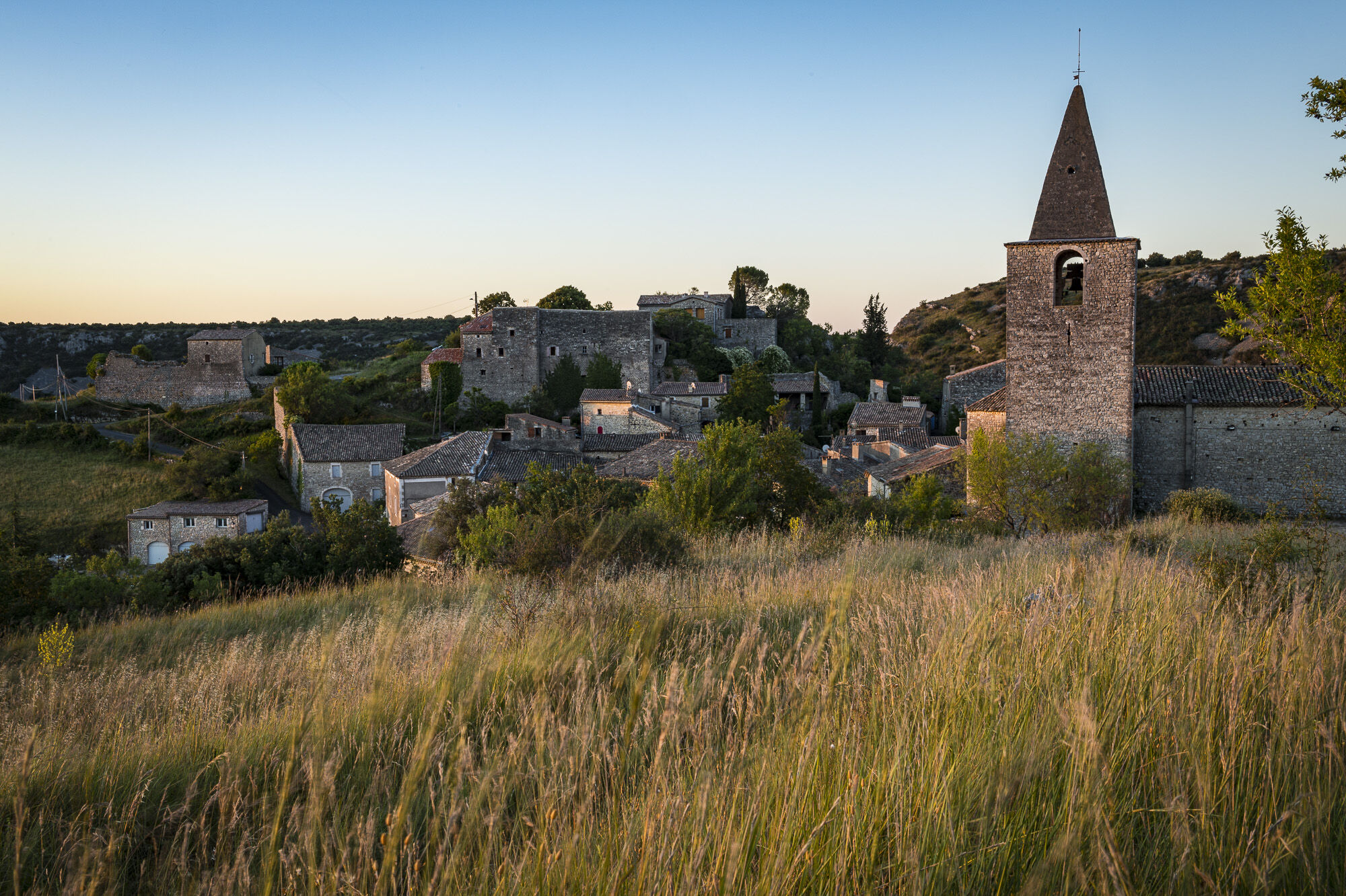
© Matthieu Dupont

© Matthieu Dupont

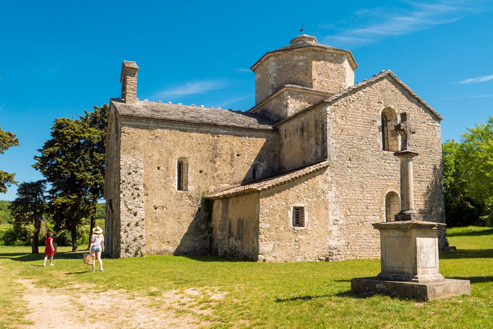
© Anne Trevet

© Matthieu Dupont

© Matthieu Dupont

© Stéphane Tripot

© Matthieu Dupont

© Sakina Lvs

© Matthieu Dupont

© Marina Geray

- Brief description
-
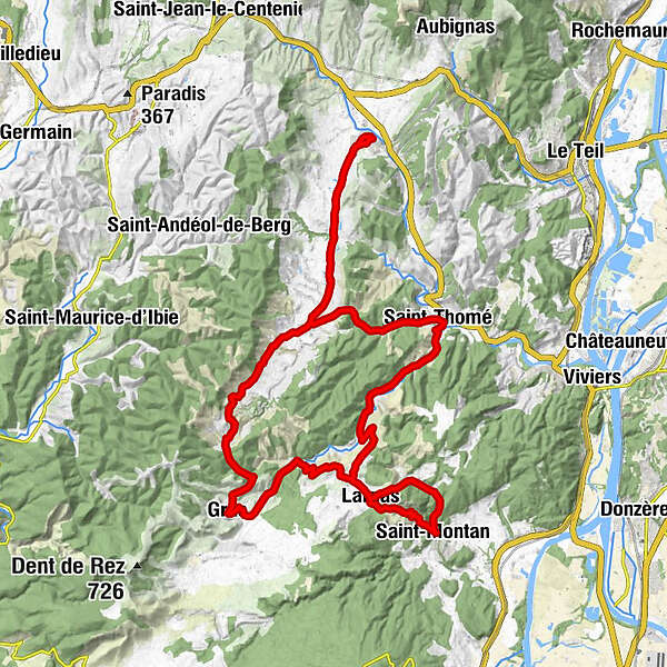
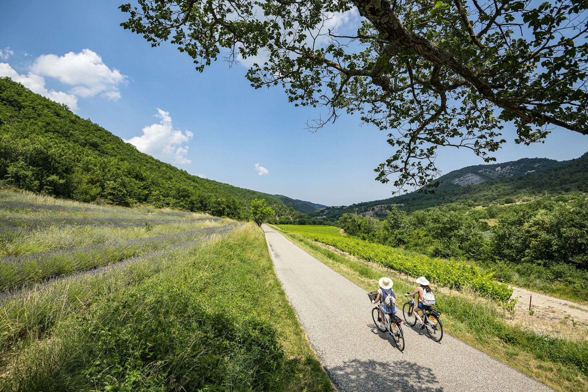
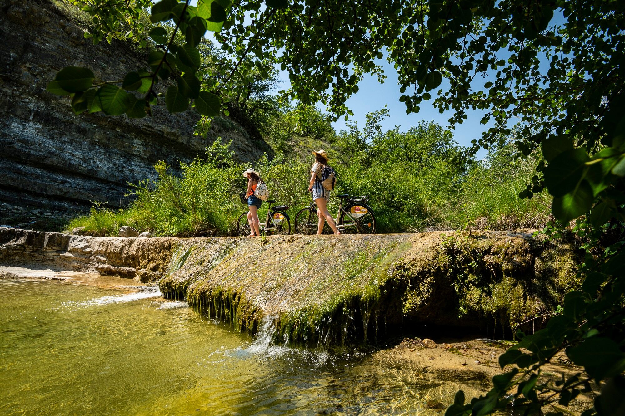
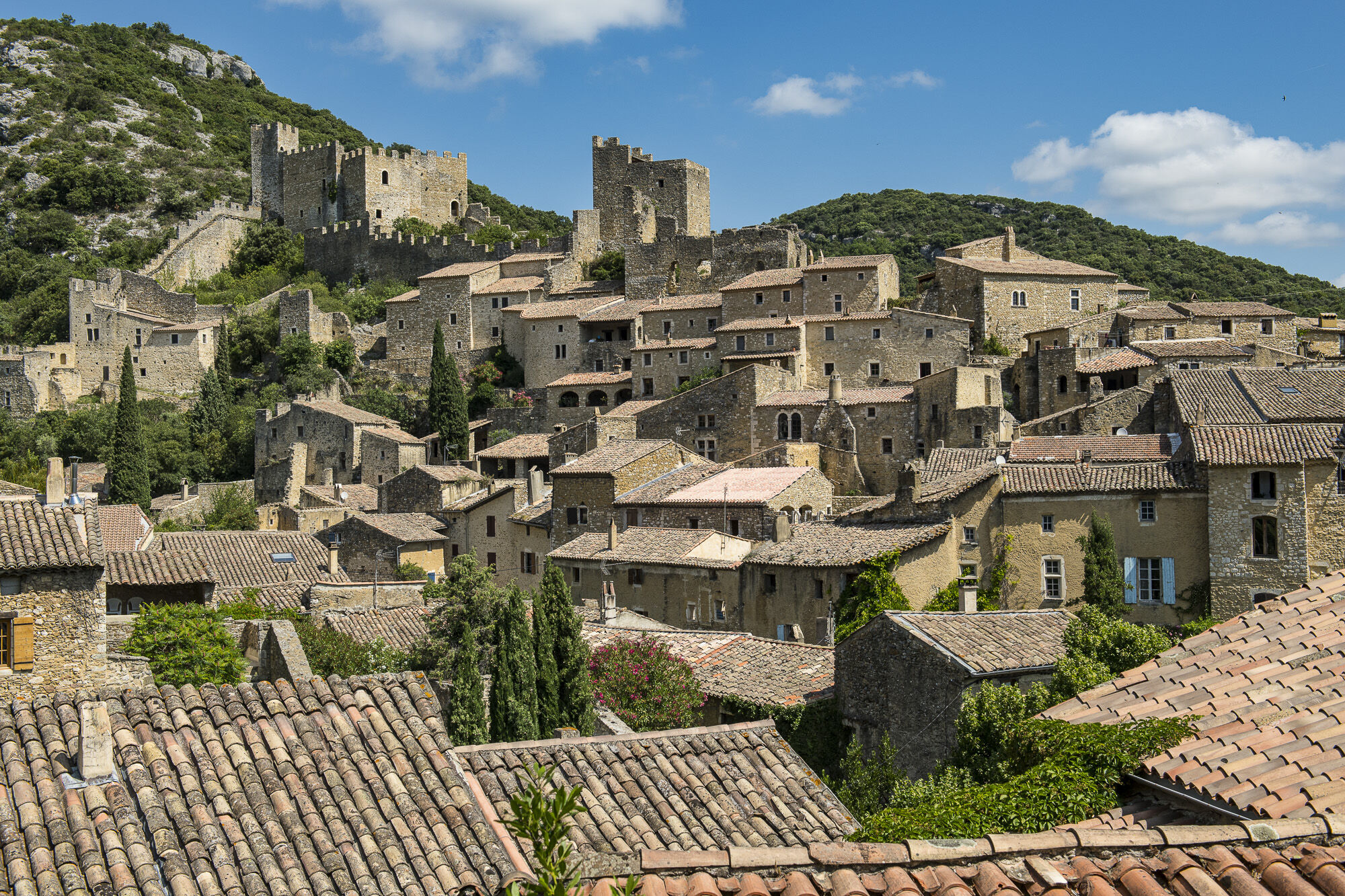
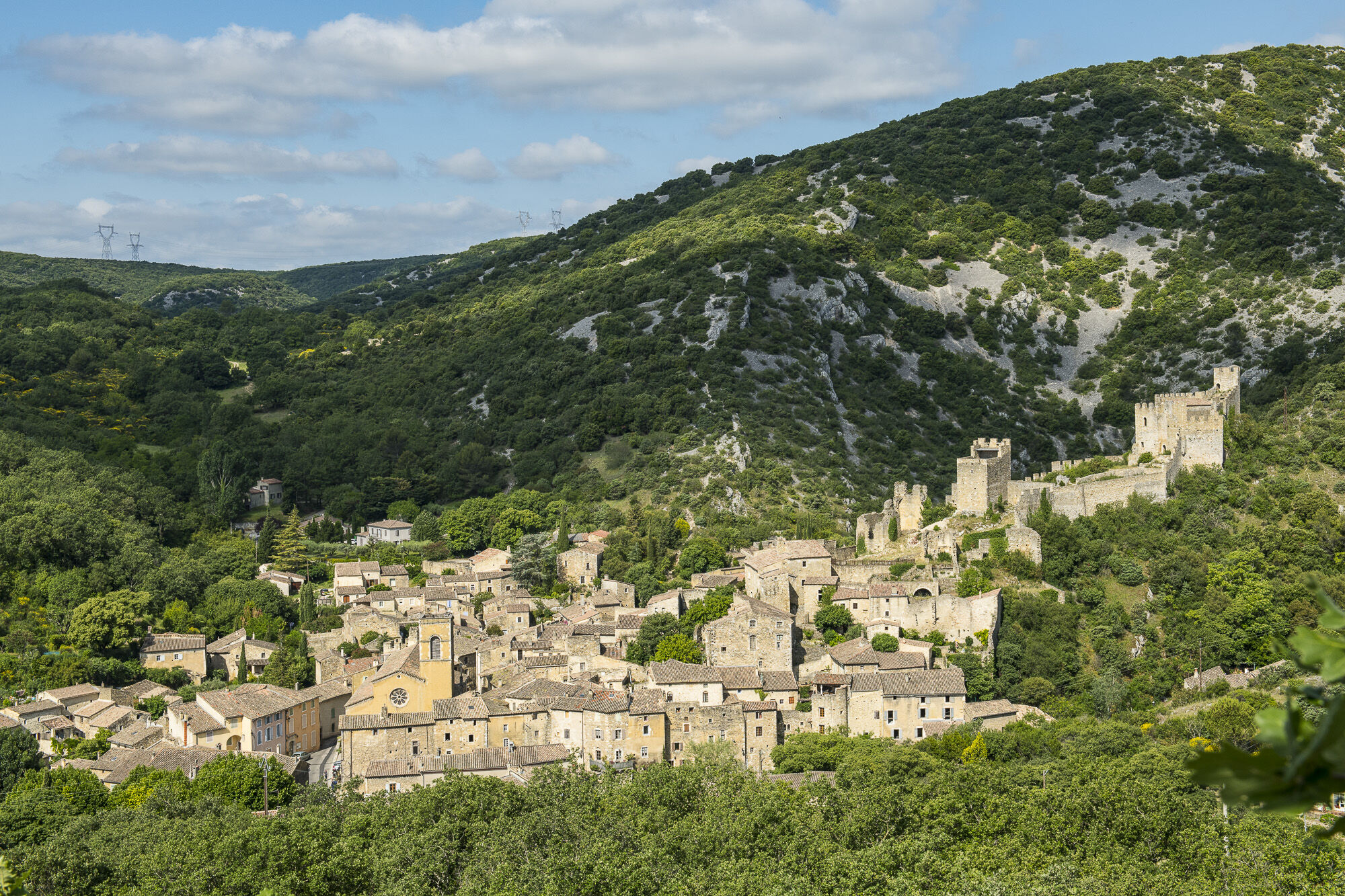
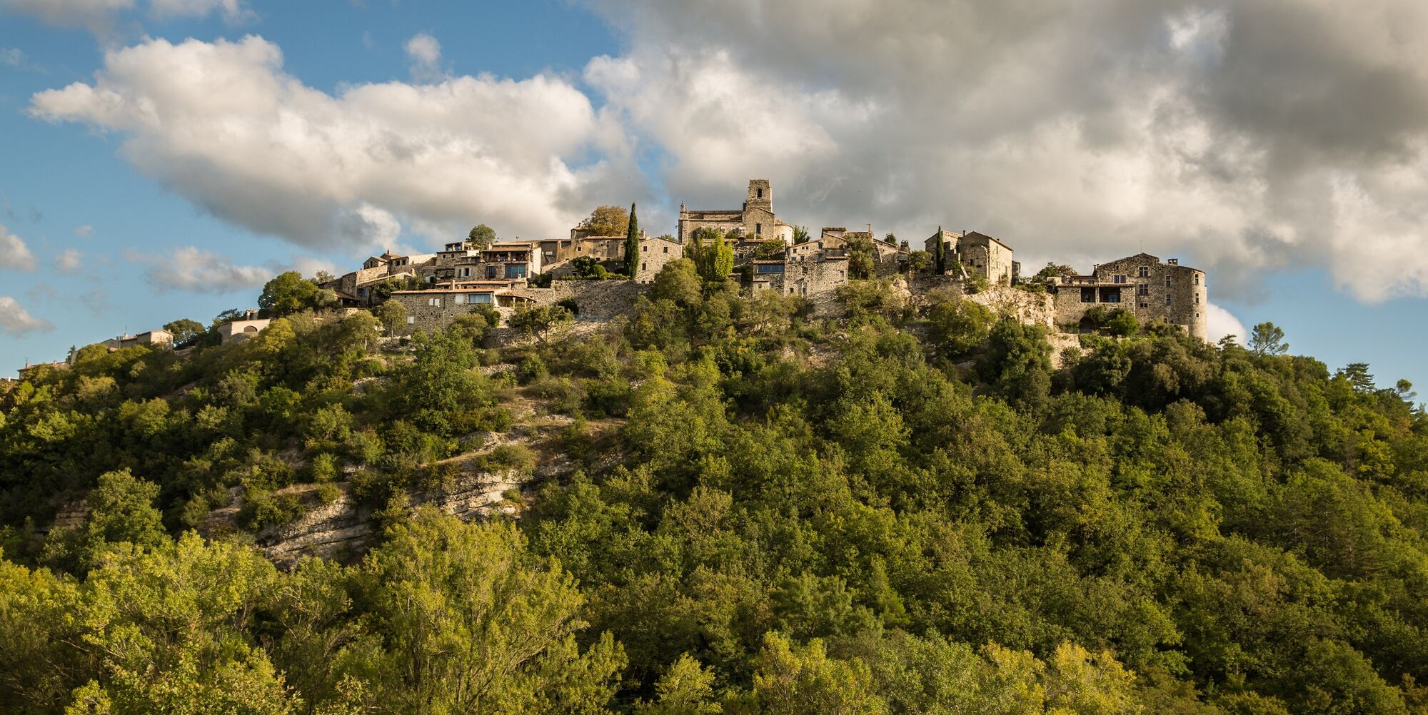
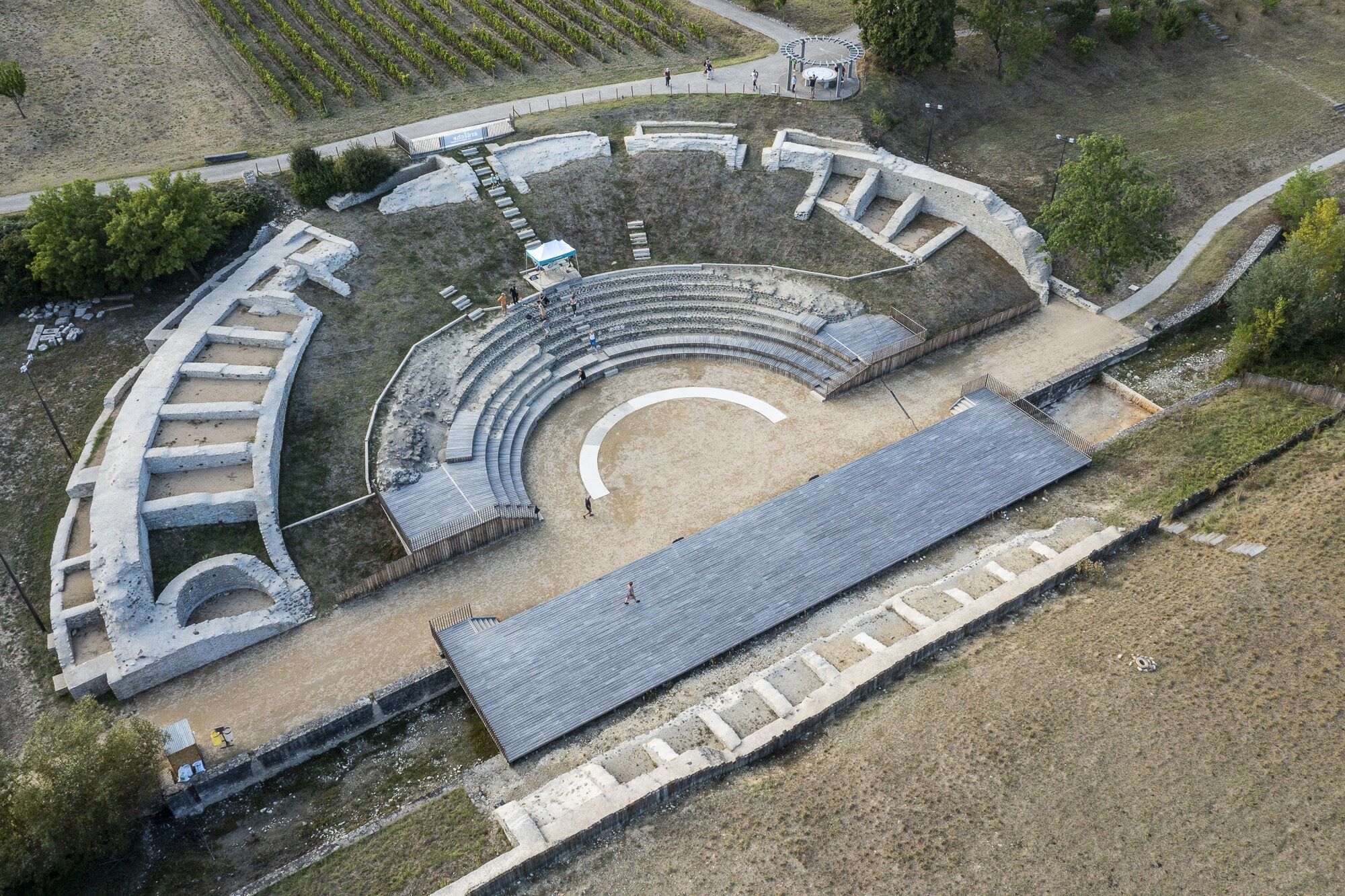
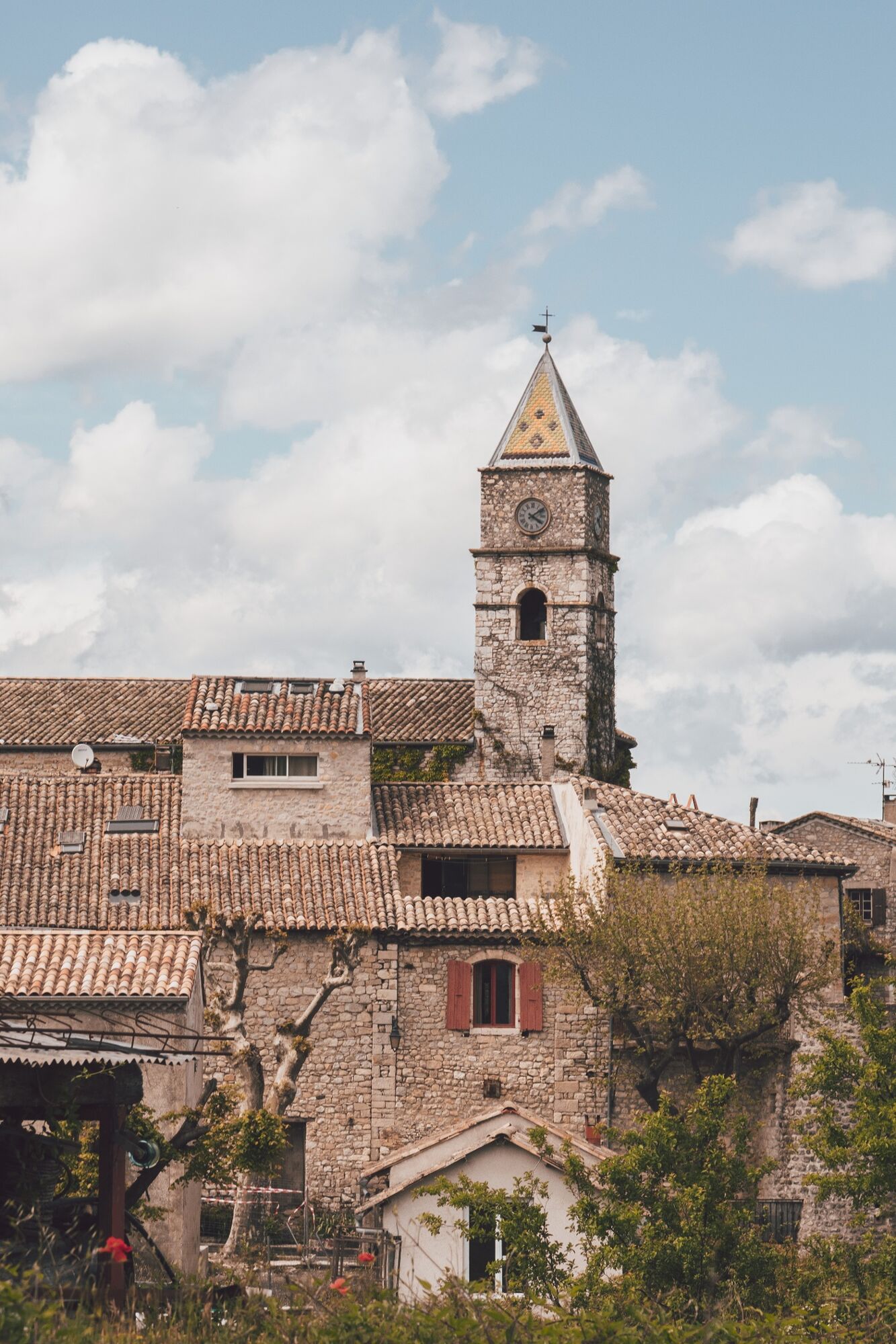
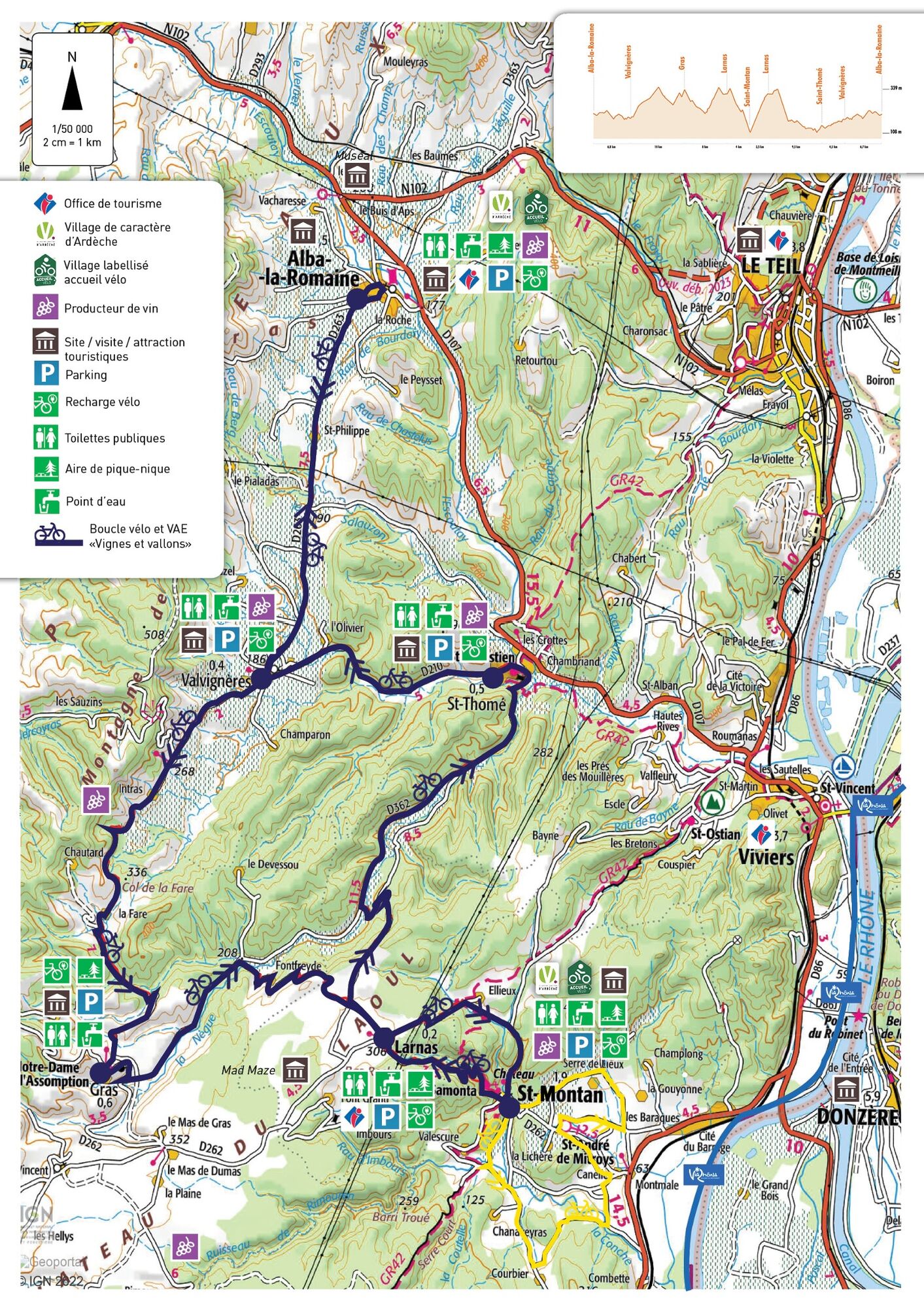
Cette grande boucle balisée sur des petites routes de campagne relie les villages de caractère de Saint-Montan et d'Alba-La-Romaine. Ce parcours est plutôt destiné aux VAE et cyclo sportifs. Départ de Saint-Montan.
- Difficulty
-
difficult
- Rating
-
- Route
-
BauvacheSaint-Montan0.2 kmÉglise Sainte-Marie-Madeleine0.2 kmÉglise San Samonta0.6 kmLa Cigale et la Fourchette3.4 kmLarnas3.4 kmValgayette6.7 kmSaint-Thomé13.0 kmÉglise Saint-Symphorien17.5 kmRestaurant de la Tour Cassée17.5 kmValvignères17.6 kmLa Table de l'Helvie17.9 kmAlba-la-Romaine24.5 kmÉglise Saint-André24.6 kmLes Saveurs d'Alba24.7 kmLa Vieille Fontaine24.9 kmValvignères31.6 kmLa Table de l'Helvie31.6 kmRestaurant de la Tour Cassée31.6 kmÉglise Notre-Dame-de-l'Assomption41.5 kmGras41.6 kmFontfreyde45.9 kmLarnas49.1 kmÉglise Saint-Pierre49.3 kmSaint-Montan53.2 kmBauvache53.5 km
- Highest point
- 339 m
- Height profile
-
 © outdooractive.com
 - Additional information
-
APIDAE tourism data updated on 07/03/2023 by "Gorges de l'Ardèche - Pont d'Arc".
Spotted an error? Write to the owner with the following information:
File name: Boucle cyclable Saint-Montan : Vignes et vallons | Record identifier: 6261526 | URL (link) for this Outdooractive page.

- Author
-
The tour Boucle cyclable Saint-Montan : Vignes et vallons is used by outdooractive.com provided.
GPS Downloads


Other tours in the regions