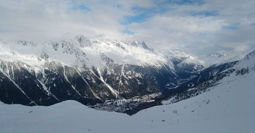
© freeskiers.net - IG Pulverschnee


- Difficulty
-
medium
- Rating
-
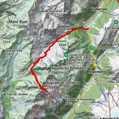
- Route
-
Sur le Rocher2.6 kmChamonix-Mont-Blanc3.5 km
- Highest point
- 2,302 m
- Endpoint
-
Chamonix
- Height profile
-
 © outdooractive.com

- Author
-
The tour Plan de l'Aiguille is used by outdooractive.com provided.
GPS Downloads
Other tours in the regions