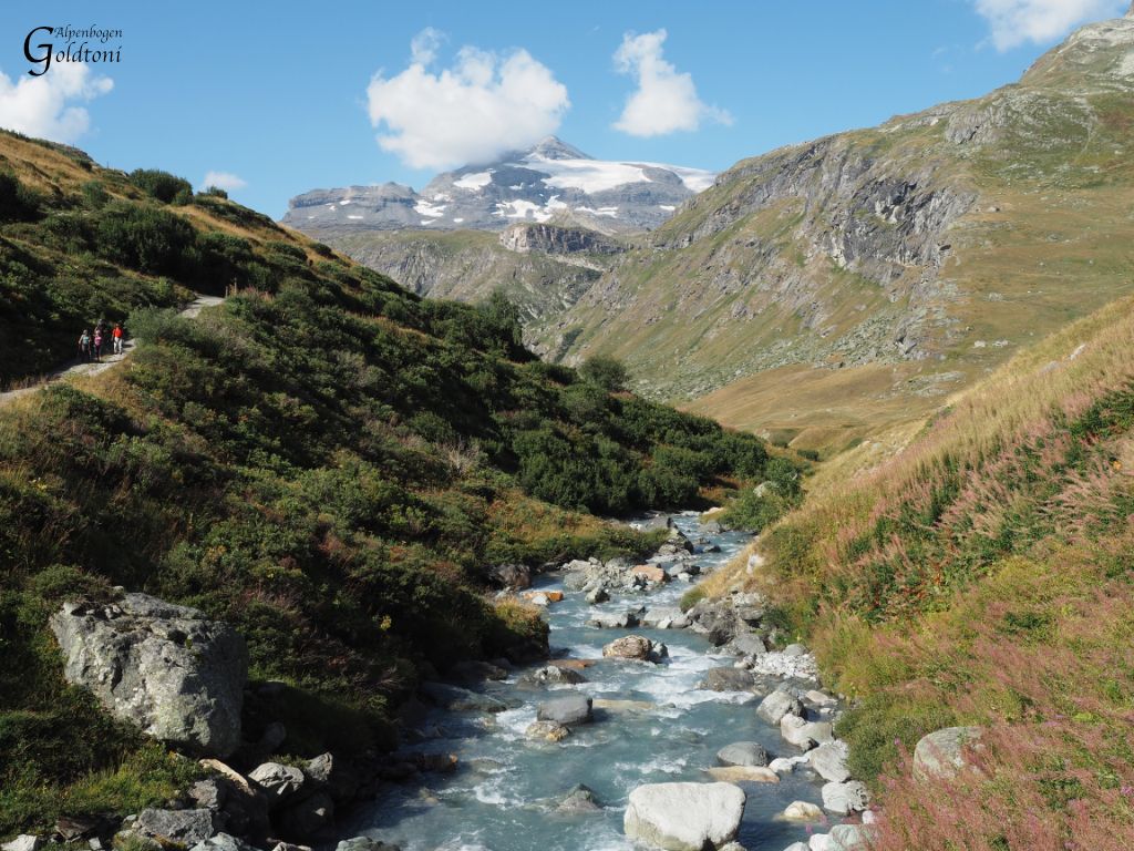
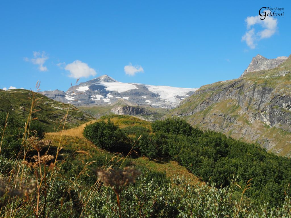
Goldtoni - Alpenbogen A068 Refuge de la Leisse-Termignon Val Cenis

long-distance walking trail

© Anton_S - Goldtoni

© Anton_S - Goldtoni

© Anton_S - Goldtoni

© Anton_S - Goldtoni

© Anton_S - Goldtoni

© Anton_S - Goldtoni

© Anton_S - Goldtoni

© Anton_S - Goldtoni
Tour data
28.68km
1,293
- 2,909m
970hm
2,085hm
08:03h
- Brief description
-
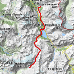
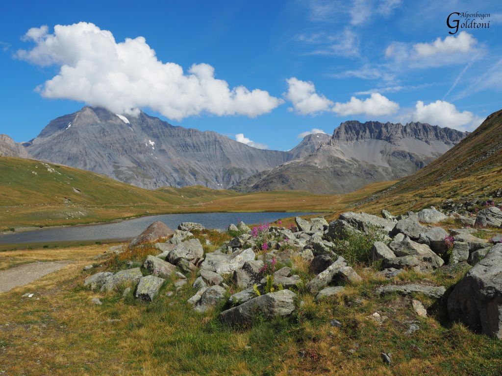
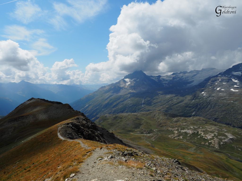
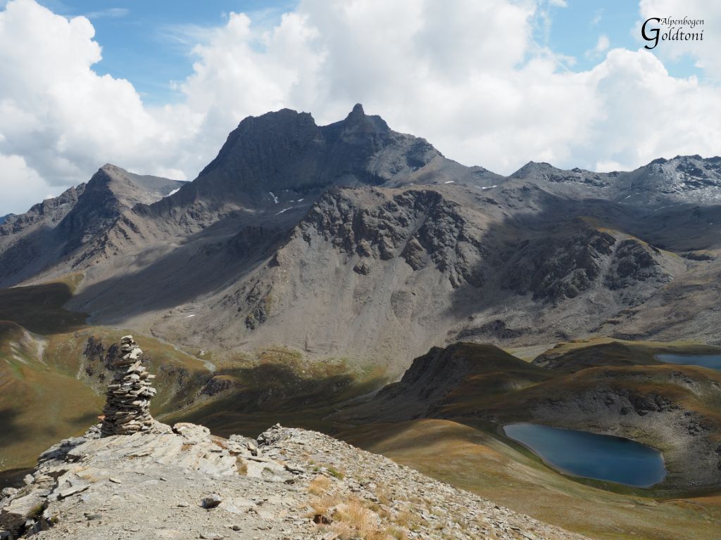
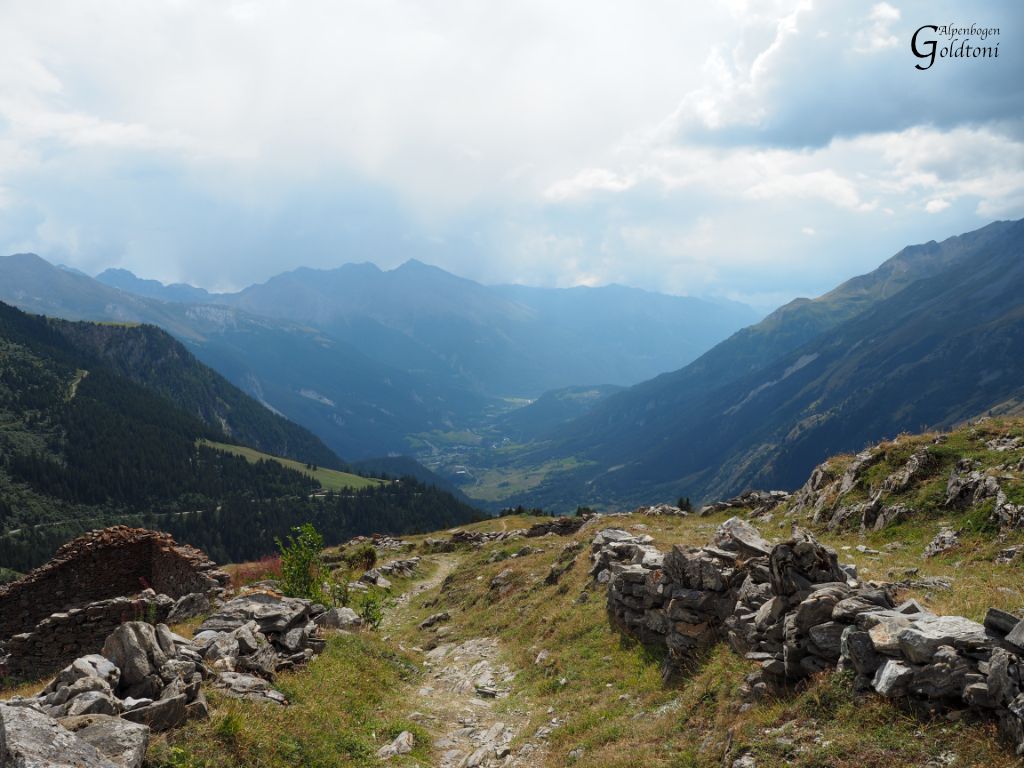
Refuge de la Leisse(2487-Refuge d’Entredeux Eaux(2133)-Refuge de Plan du Lac(2376)-Parking de Bellecombe(2317)-Pointe de Lanserlia(2909)-Parking de Bellecombe(2317)-Termignon la Vanoise(1325)
- Difficulty
-
medium
- Rating
-
- Route
-
Entre Deux Eaux6.6 kmRefuge d'Entre Deux Eaux6.7 kmChapelle Saint-Barthélemy9.2 kmRefuge du Plan du Lac10.1 kmPlan du Lac10.9 kmCol de Lanserlia (2,774 m)16.0 kmPointe de Lanserlia (2,909 m)17.0 kmChapelle Sainte-Marguerite20.9 kmÉglise Notre-Dame-de-l'Assomption28.3 kmTermignon28.6 kmVal-Cenis28.6 km
- Highest point
- Pointe de Lanserlia (2,909 m)
- Source
- Toni Sommer
GPS Downloads


Trail conditions
Asphalt
Gravel
(30%)
Meadow
(50%)
Forest
Rock
(20%)
Exposed
(2%)
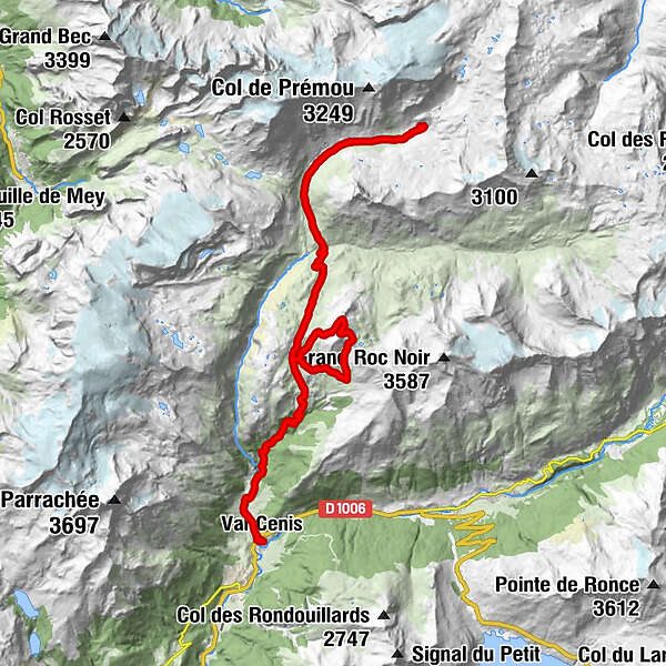
Other tours in the regions
-
Savoie
860
-
Haute Maurienne Vanoise
609
-
Val Cenis
140