


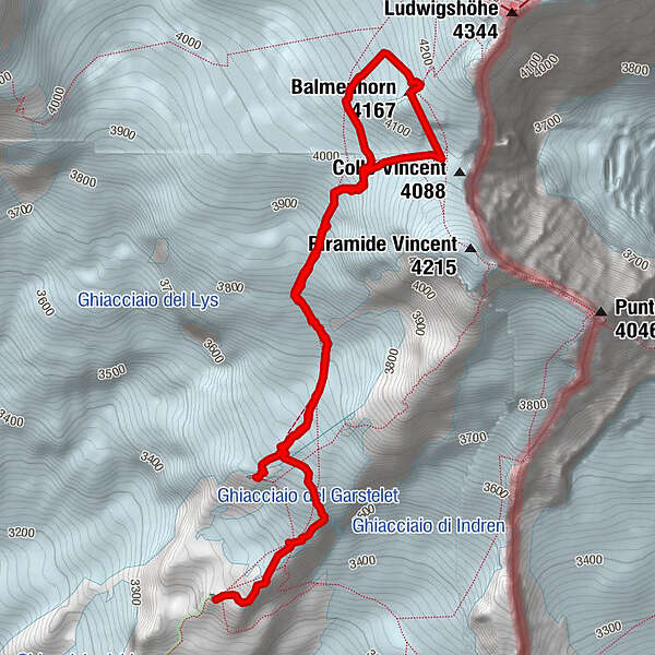
Tour data
5.78km
3,441
- 4,162m
720hm
537hm
02:39h
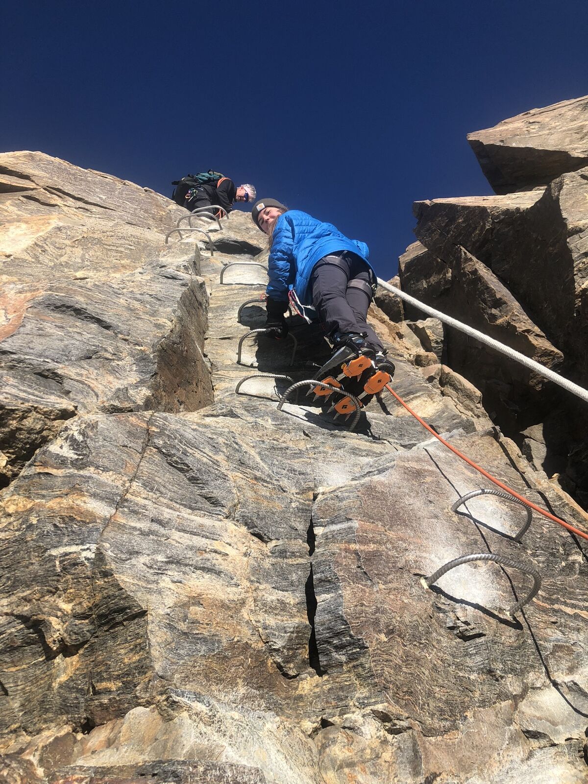
- Difficulty
-
easy
- Rating
-
- Route
-
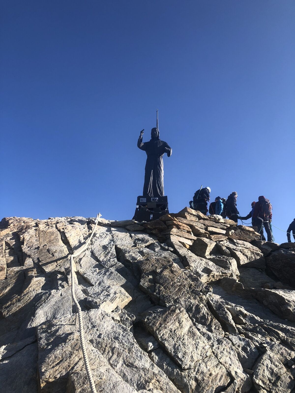
Rifugio Città di Mantova0.0 kmBalmenhorn (4,167 m)3.4 kmBivacco Felice Giordano3.5 kmColle Vincent (4,088 m)3.8 km
- Highest point
- 4,162 m

GPS Downloads


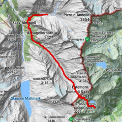
Other tours in the regions
-
Biella und Umgebung
262
-
Mattertal
554
-
Gressoney La Trinité
61


")