

- Brief description
-
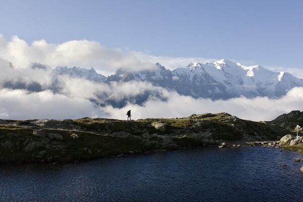
This is a long, strenuous detour from the normal route to Bonatti, with a descent that is steep at times, but the views on a clear day are not to be missed.
- Difficulty
-
difficult
- Rating
-
- Starting point
-
rifugio Bertone
- Route
-
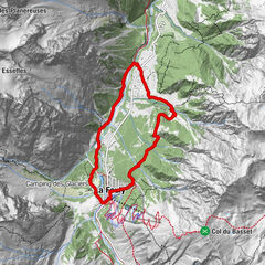
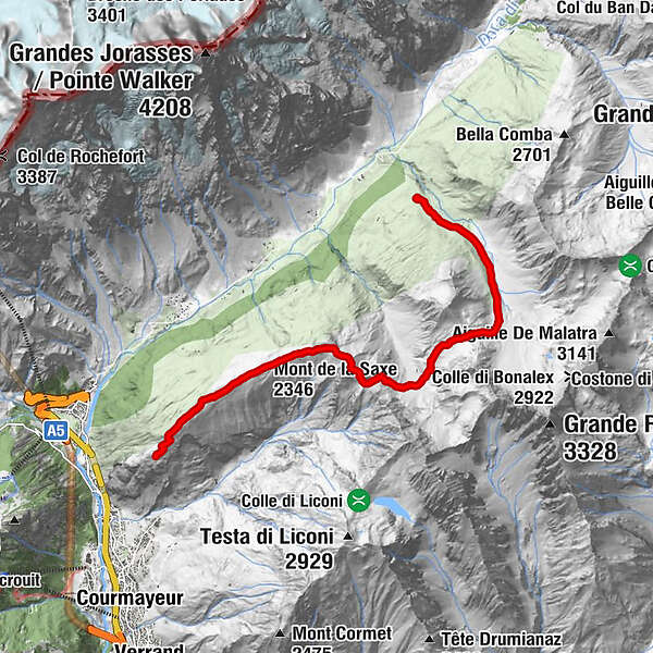
Rifugio Bertone (nuovo)0.1 kmMont de la Saxe (2,346 m)2.4 kmTête de la Tronche (2,584 m)4.2 kmGiué Damon9.5 kmMalatrà Inferiore10.3 kmRifugio Walter Bonatti10.5 km
- Best season
-
JanFebMarAprMayJunJulAugSepOctNovDec
- Description
-
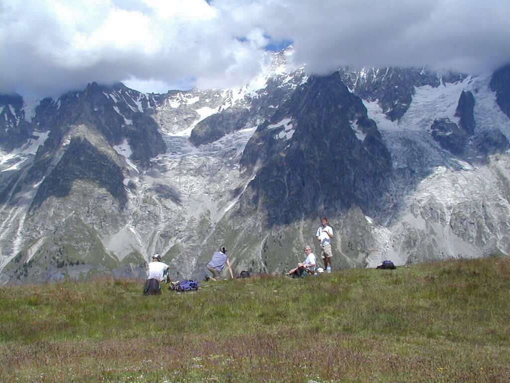
If you have a sunny day and like a big hike, consider yourself lucky... the Mont de la Saxe route is one of the most beautiful routes in the Mont Blanc region. It's high - reaching 2553 meters at Testa Bernarda, and quite steep from there to the Col Sapin, but this also keeps the crowds away and it's quite possible to have this route virtually to yourself. Figure on adding 2000 ft and 2½ hrs to the normal route.
www.alpinehikers.com
- Directions
-
Start out steeply uphill past rifugio Bertone, and in about 10 minutes you’ll reach a fork in the trail just as you crest the ridge. (Stop and enjoy the views).
Branch to the right, continuing uphill another hour to gain the crest of the Mont de la Saxe ridge.
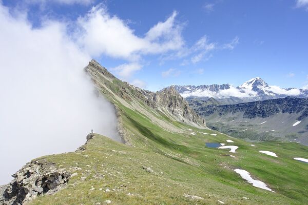
The view across the Val Ferret to Mont Blanc and the Grandes Jorasses is simply stunning. If you’ve brought your own lunch, this would be a good place to stop and admire the view during an unhurried meal. Mountain panoramas don’t get much better...
There are often quite a few cows, and cow patties, up here. Enjoy the views but also watch your step.
Continuing on, the trail leads up again to Tête de Bernarde, drops very steeply on slippery gravel to the pass Col du Sapin. The trail is very gritty and slippery for a few minutes. Slow down and be safe.
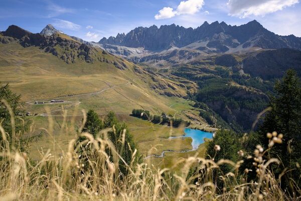
At Col Sapin, turn left (signposted for Arminaz) into a small hanging valley.
Continue across the valley, crossing one more short pass called Pas entre deux Sauts, to bring you into the Malatra valley.
Turn left, heading down the valley, passing a couple of old farm buildings, and finally you’ll arrive to the rifugio Bonatti.
This is a 4 hour trail, but replacing the 1½-2 hr normal route, it should add 2-2½ hrs to your hiking day. - Highest point
- 2,549 m
- Endpoint
-
rifugio Bonatti
- Height profile
-
 © outdooractive.com
 - Safety instructions
-
There's nothing between Bertone and Bonatti. Bring what you need. Take care on the short, steep descent to Col Sapin, and don't go off-trail on something you think might descend... stick to the route.
- Tips
-
This is for sunny days only. It would be pointless in the rain, and dangerous in lightning or snow. There will likely be snow on the north side of Col Sapin in June.
- Directions
- Public transportation
-
No, nothing.
-

-
AuthorThe tour Bertone to Bonatti via Mont de la Saxe is used by outdooractive.com provided.


-
Unterwallis
1196
-
Mont Blanc
300
-
Courmayeur und Mont Blanc Tal
50