Goldtoni - Alpenbogen A065-1 Runaz-Courmayeur

long-distance walking trail

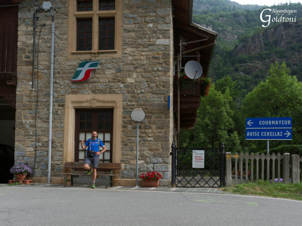
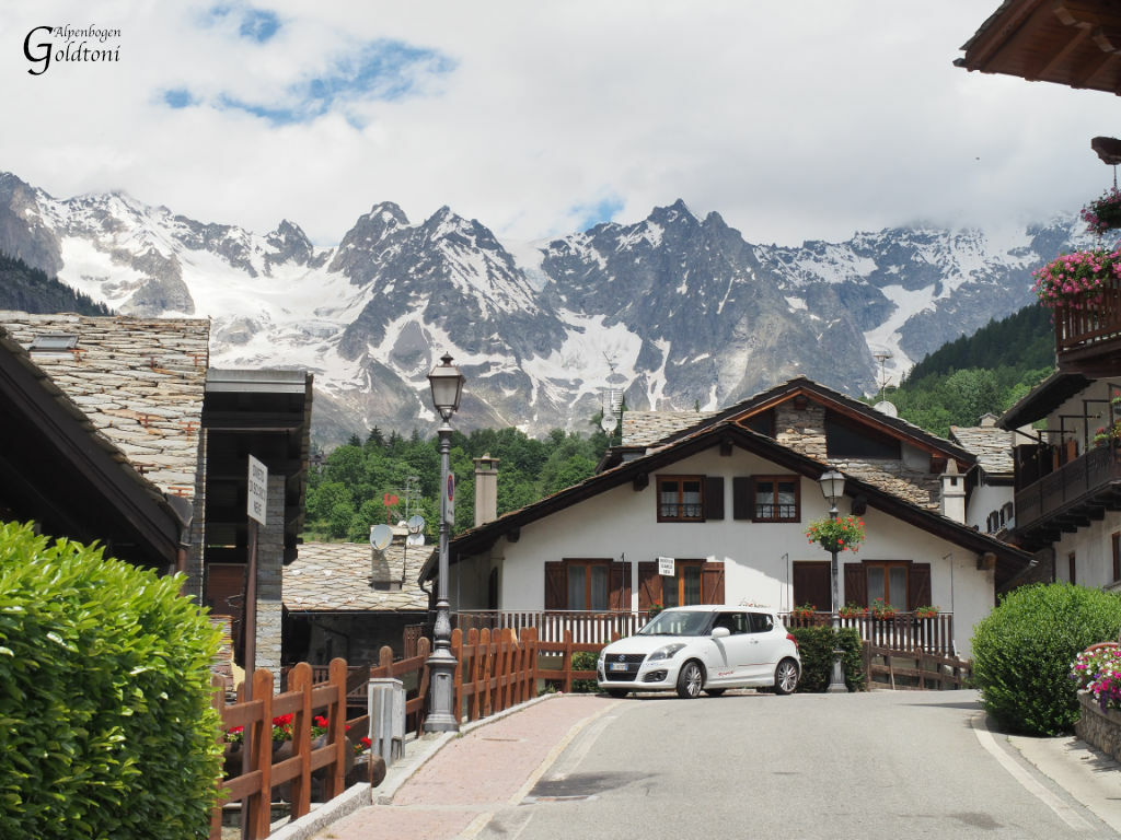
© Anton_S - Goldtoni

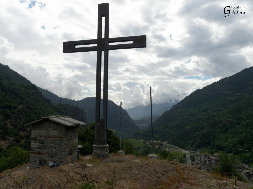
© Anton_S - Goldtoni

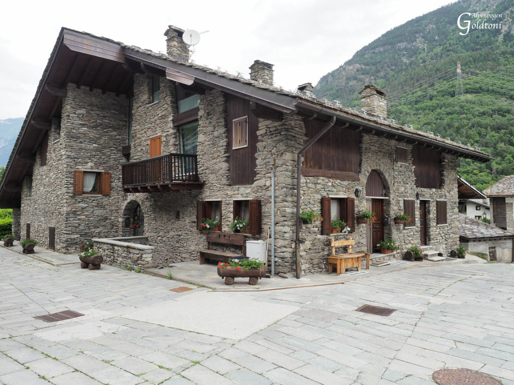
© Anton_S - Goldtoni

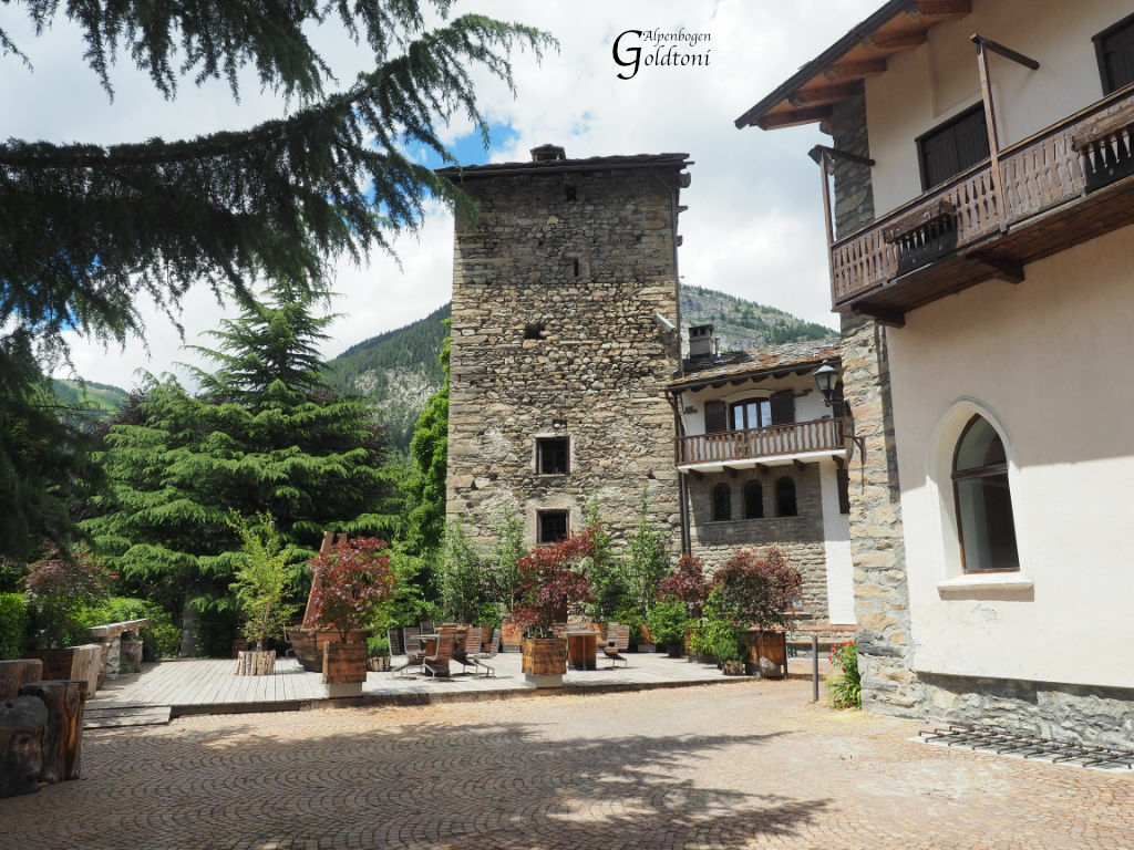
© Anton_S - Goldtoni

© Anton_S - Goldtoni
Tour data
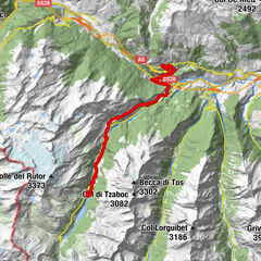
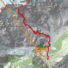
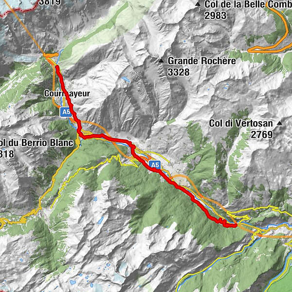
25.83km
796
- 1,320m
1,115hm
620hm
04:18h
- Brief description
-
Runaz(790)-Derby(920)-Chabodey(970)-Previllar(960)-Morgex(920)-Pre Saint Didier(1020)-Verrand(1320)Courmayeur(1259)
- Difficulty
-
easy
- Rating
-
- Route
-
Condemine0.0 kmAvise0.0 kmRunaz0.7 kmDerby7.4 kmChez Les Gontiers7.9 kmEpinays8.1 kmCascata di Lenteney8.9 kmSanta Barbara9.4 kmLa Pera10.5 kmChabodey10.8 kmTirivel11.8 kmFosseret12.3 kmRoulliard12.7 kmBiolley12.9 kmMontrottier13.0 kmPrevillar13.5 kmPautex13.6 kmRevers13.8 kmLiarey14.0 kmParco Della lettura du Morgex14.0 kmIglesia Santa Maria Asunta14.2 kmMorgex (924 m)14.3 kmGare18.1 kmPré-Saint-Didier18.3 kmChiesa parrocchiale di San Lorenzo18.9 kmPré-Saint-Didier18.9 kmFiabé18.9 kmChampex19.5 kmle Chapiteau 186119.8 kmPalleusieux20.0 kmVerrand21.7 kmCourmayeur22.8 kmPussey22.8 kmChiesa di San Pantaleone23.4 kmLarzey24.4 kmEntrelevie24.6 kmLa Saxe24.7 km
- Best season
-
JanFebMarAprMayJunJulAugSepOctNovDec
- Highest point
- Verrand (1,320 m)
- Rest/Retreat
-
Viele Gelegenheiten in den Ortschaften
- Source
- Toni Sommer
GPS Downloads


Trail conditions
Asphalt
(20%)
Gravel
(20%)
Meadow
(30%)
Forest
(30%)
Rock
Exposed
Other tours in the regions
-
Mont Blanc
300
-
Morgex
32