


Tour data
12.28km
1,942
- 2,481m
602hm
602hm
02:55h
- Brief description
-
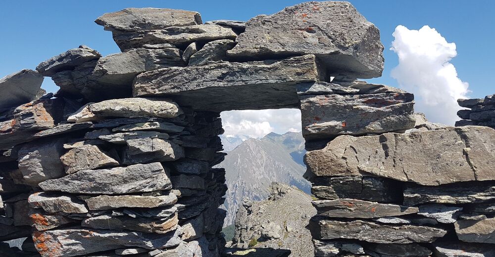
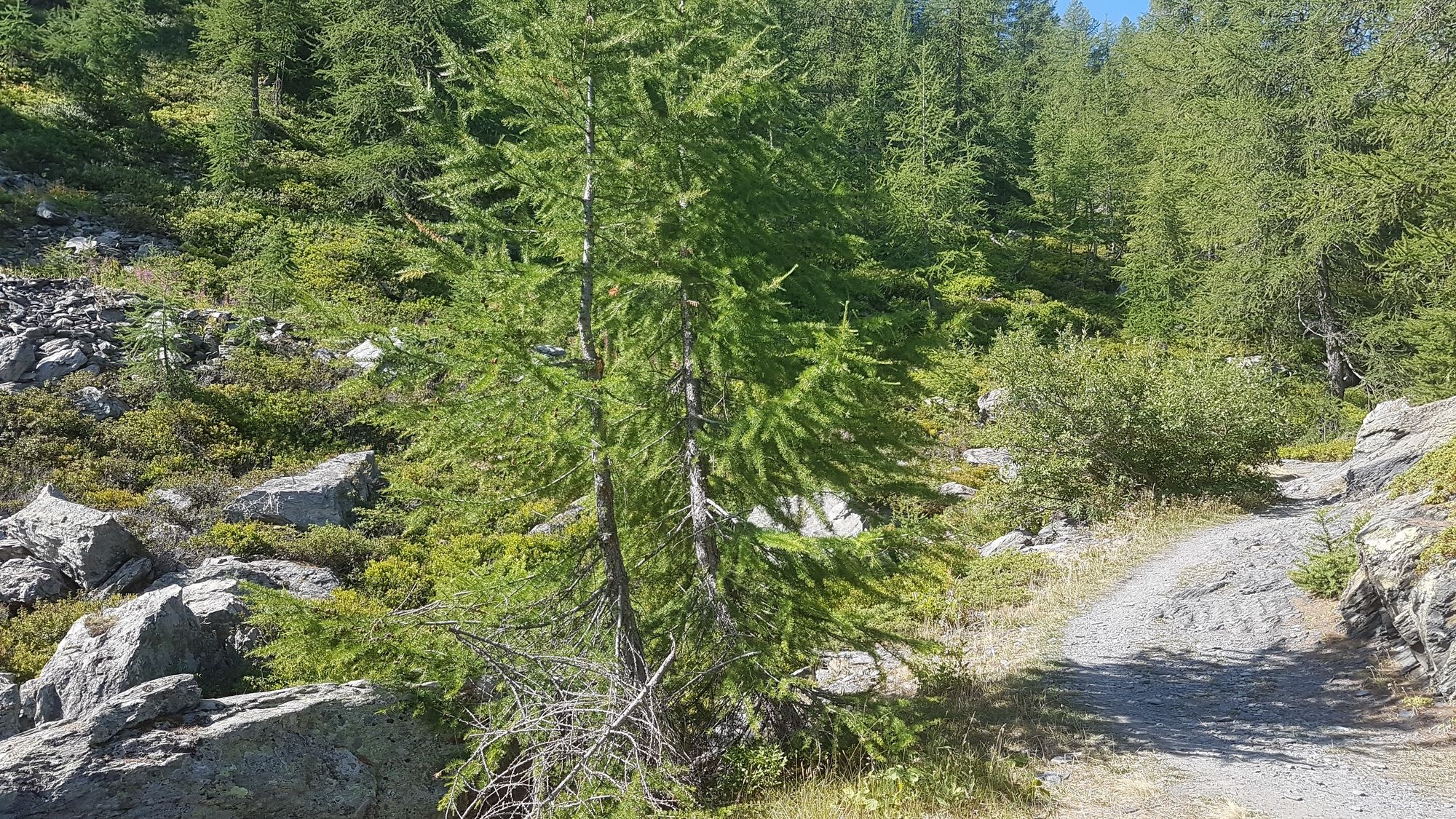
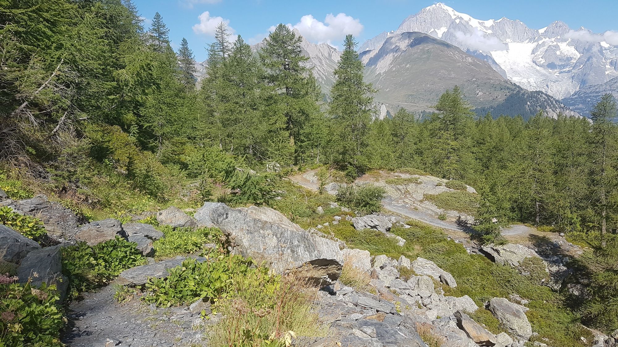
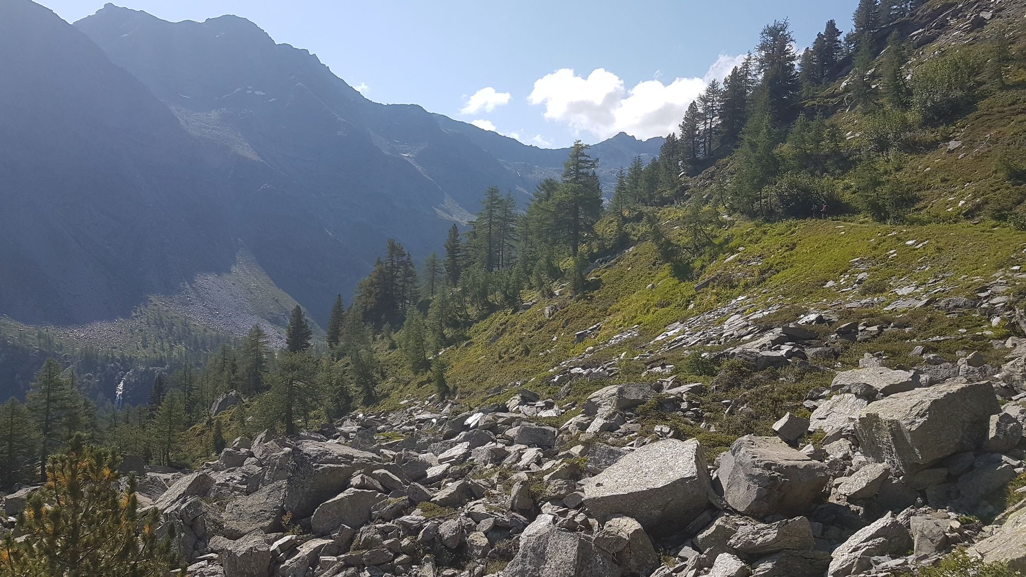
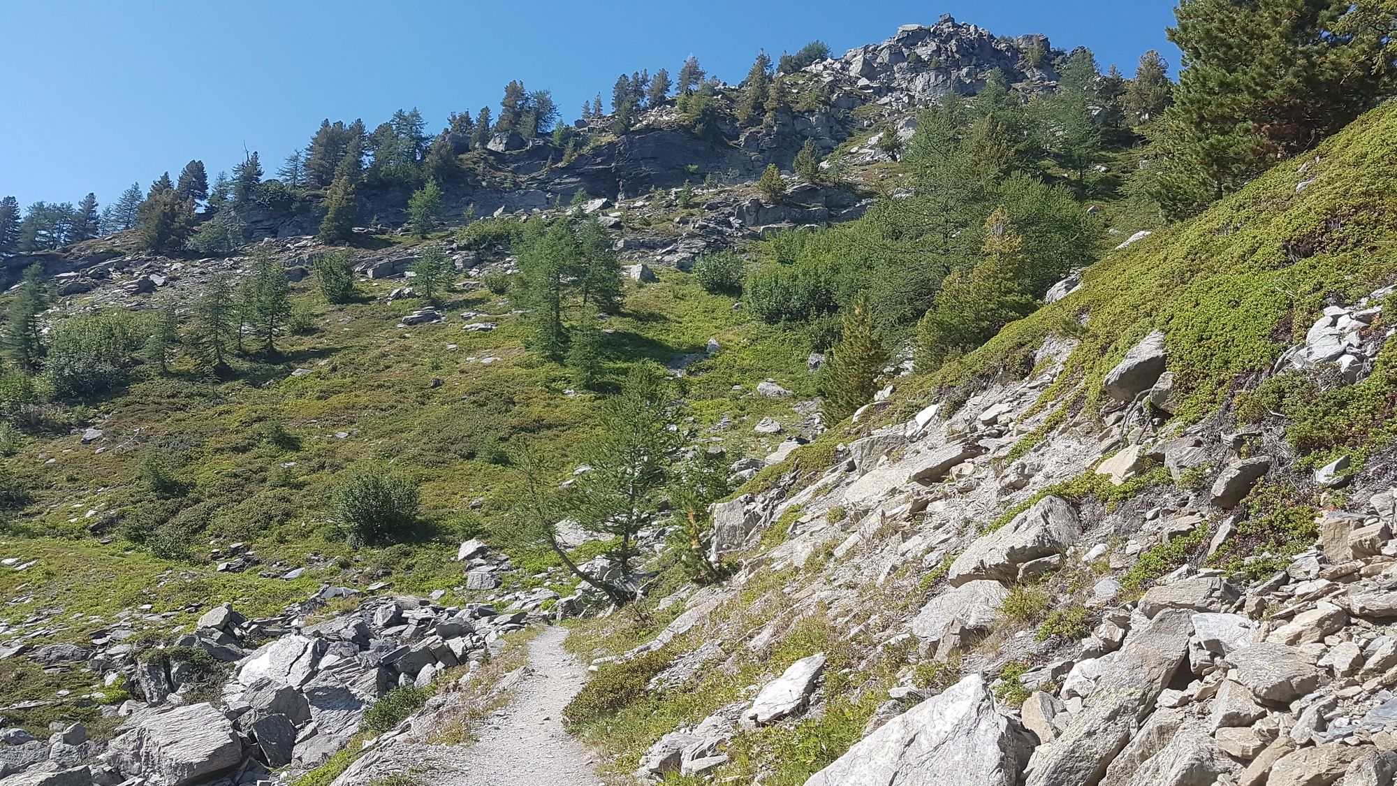
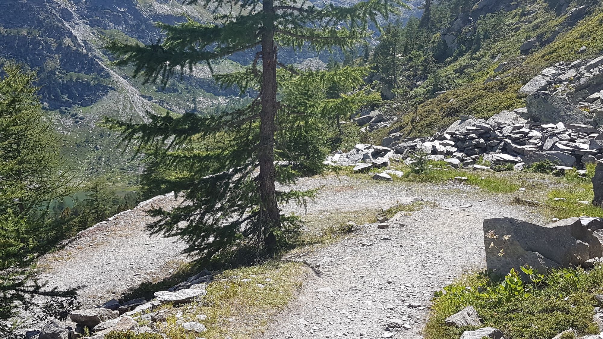
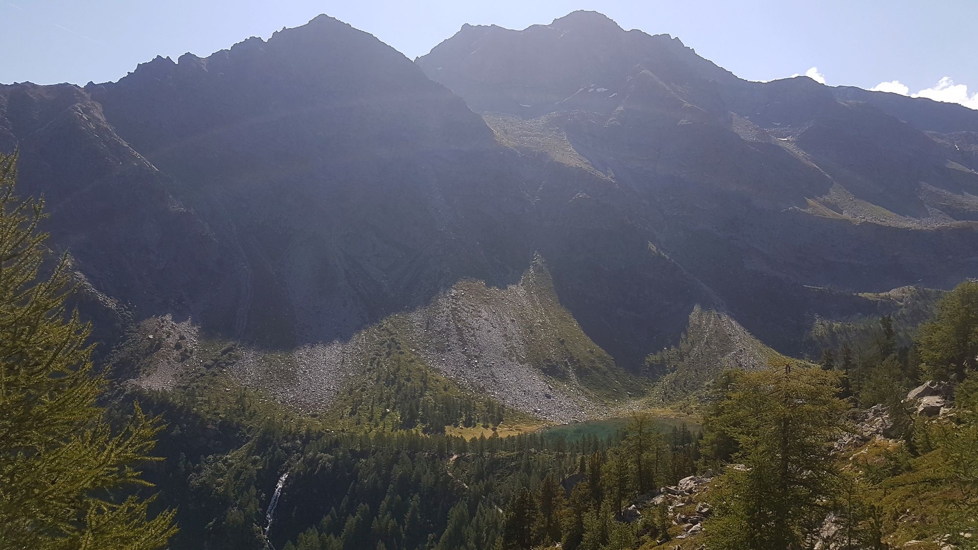
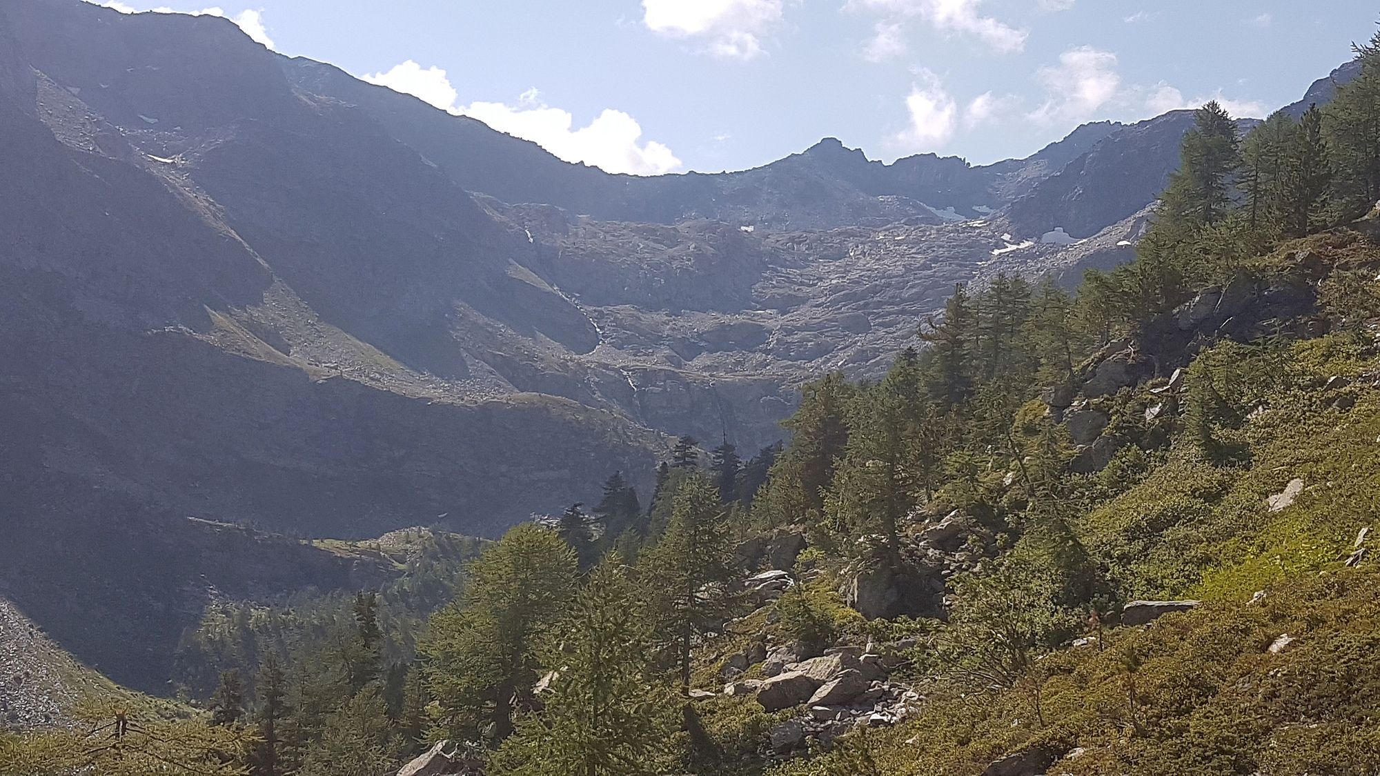
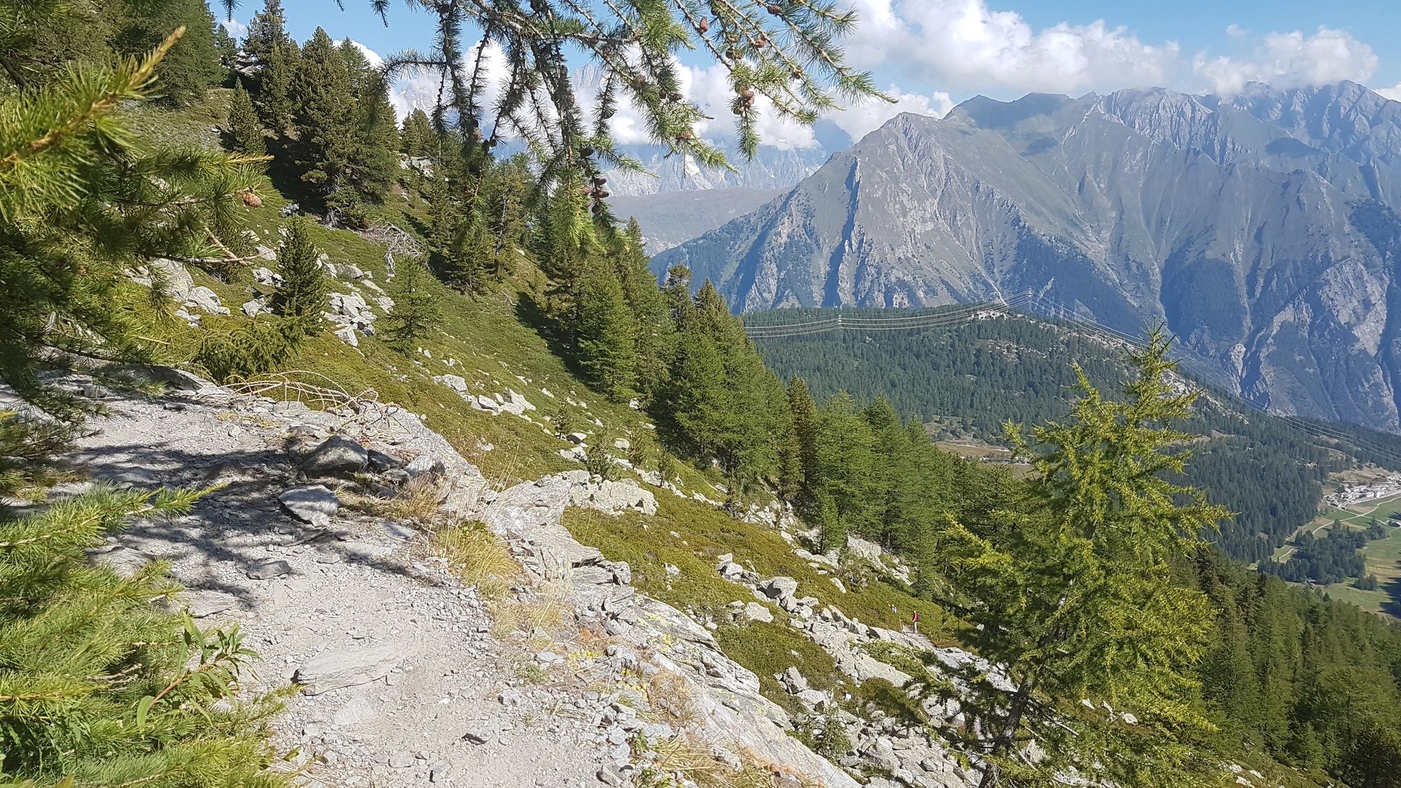
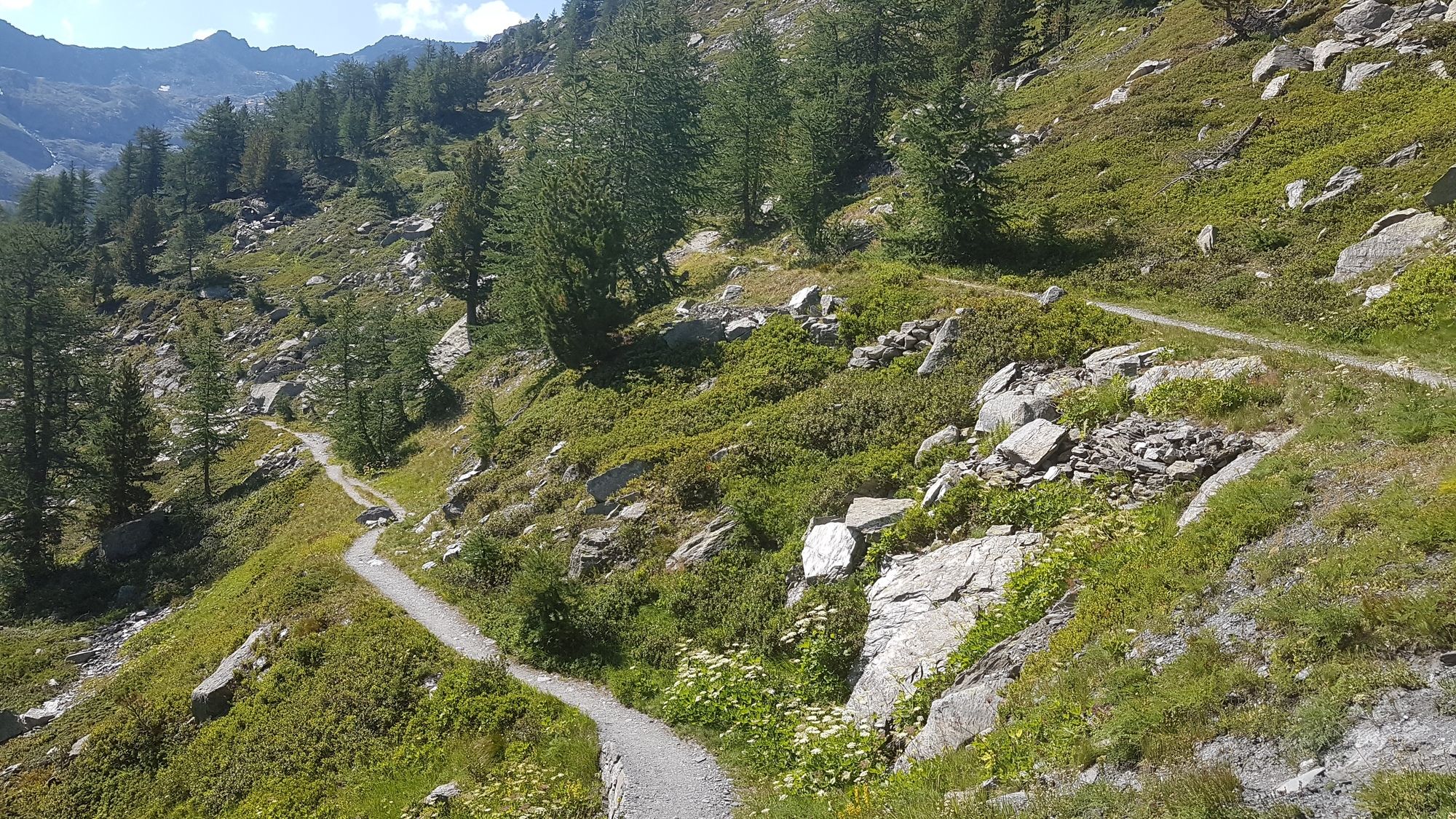
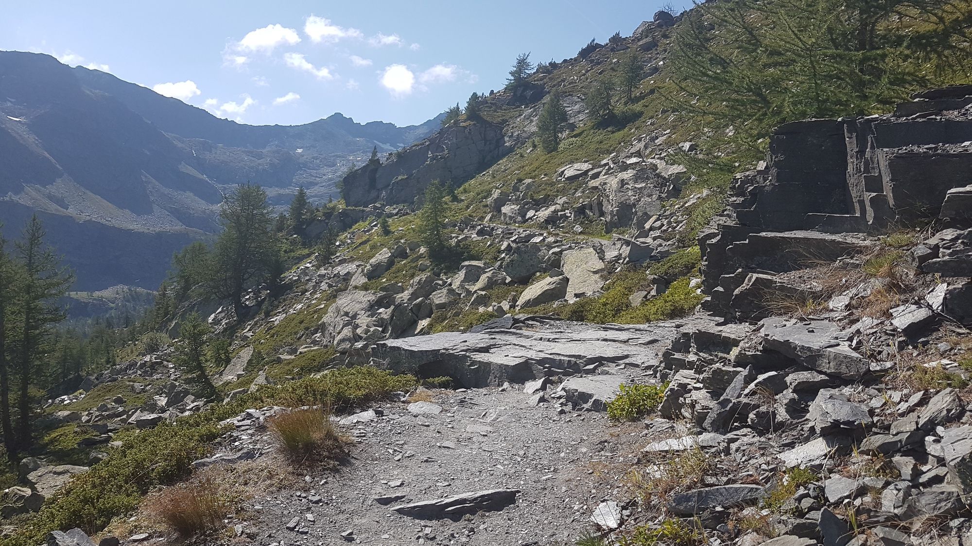
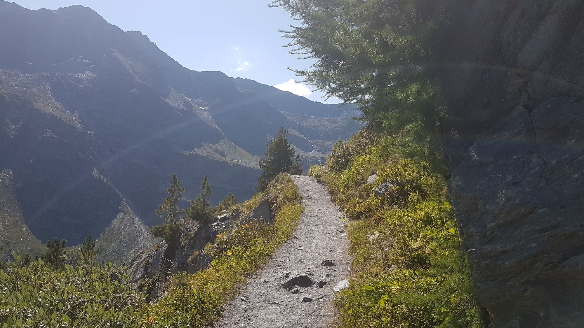
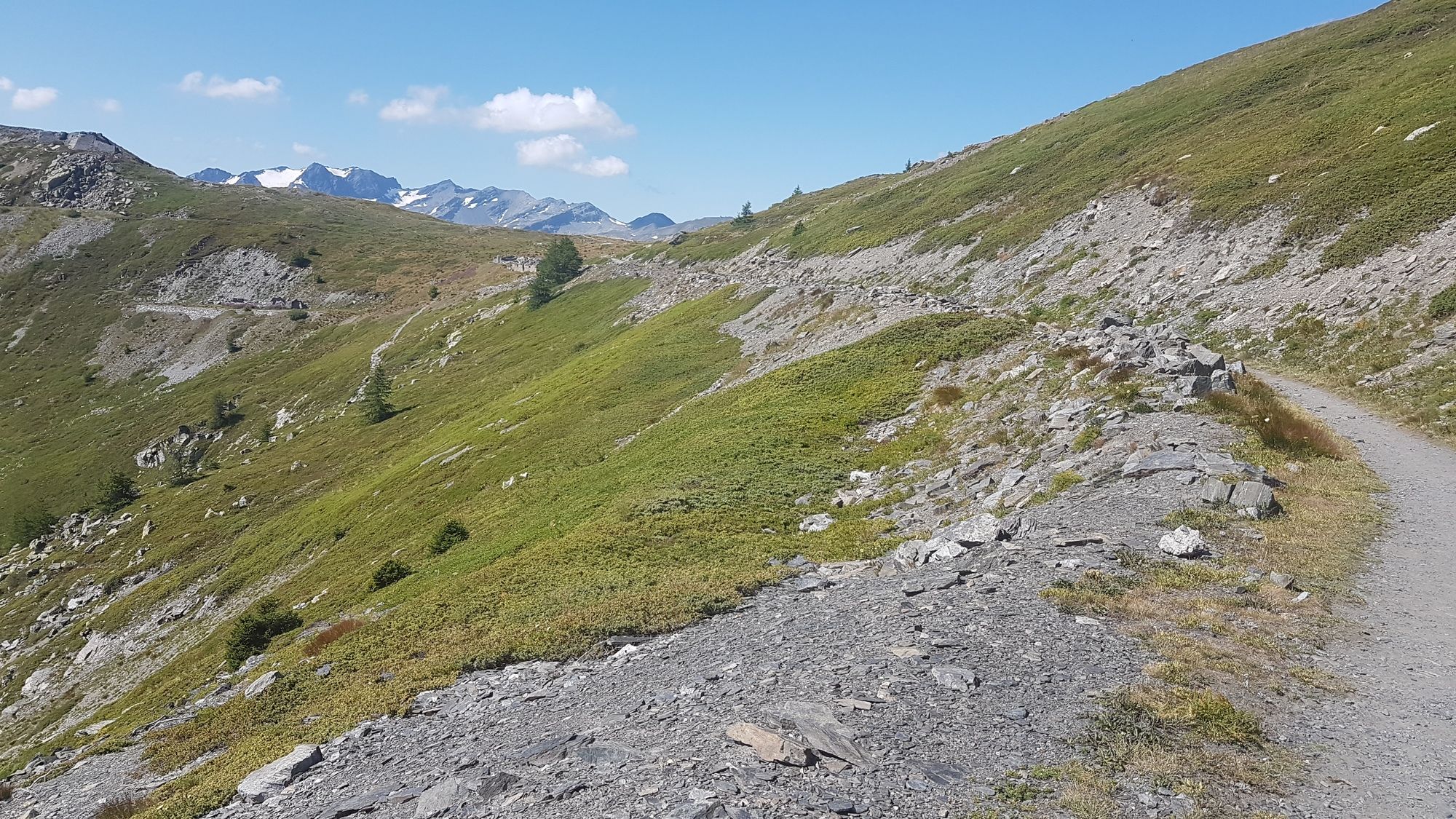
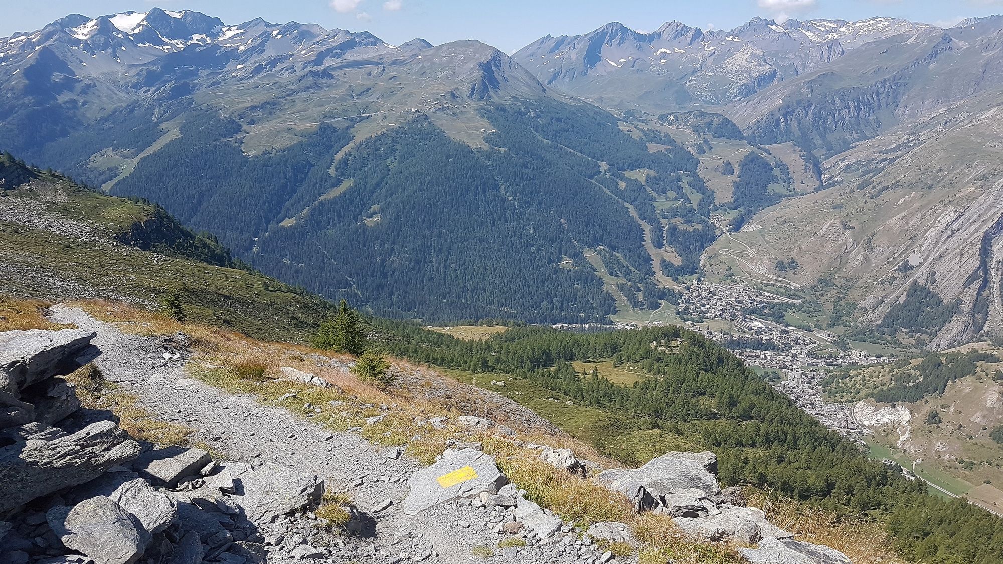
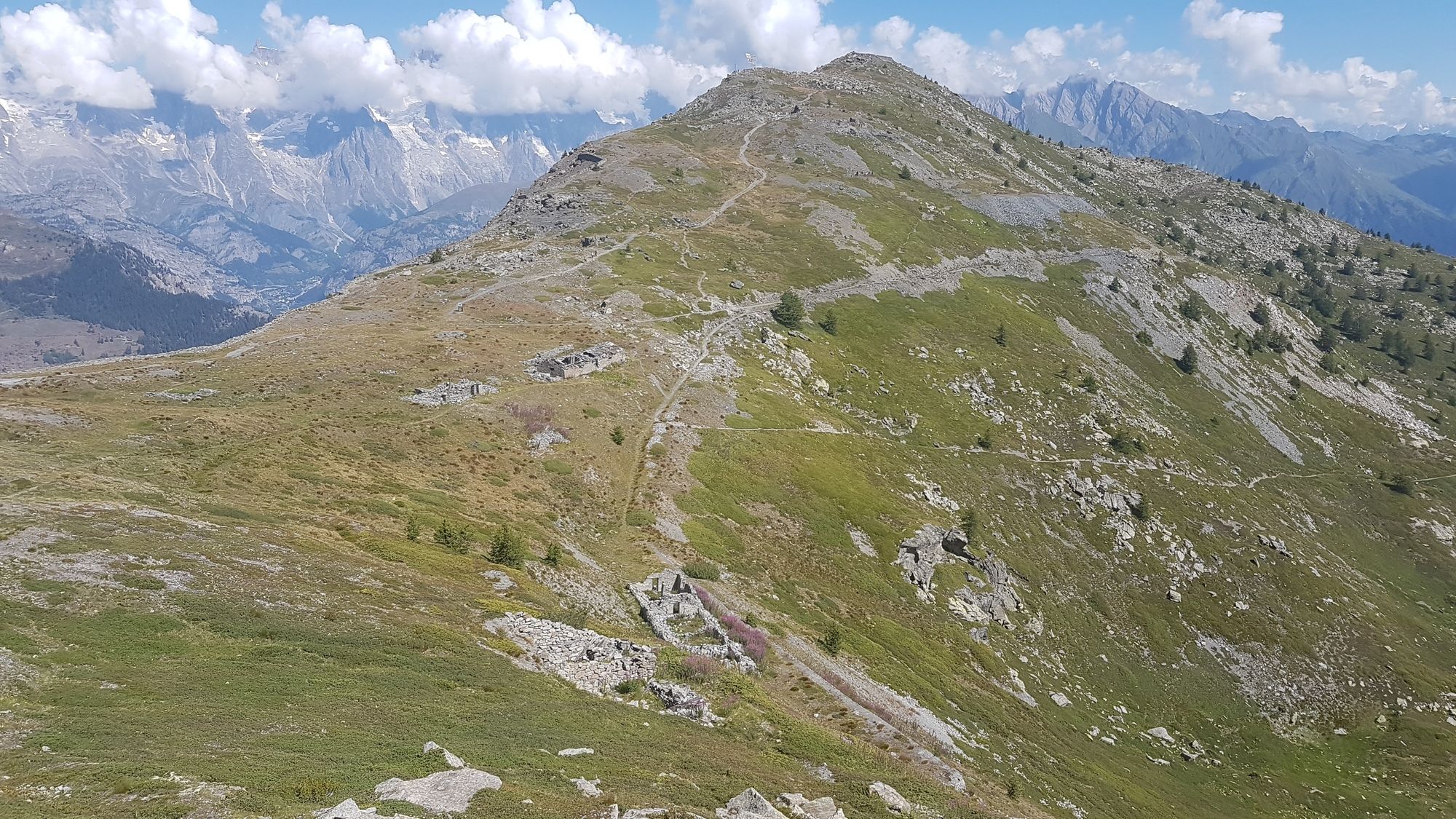
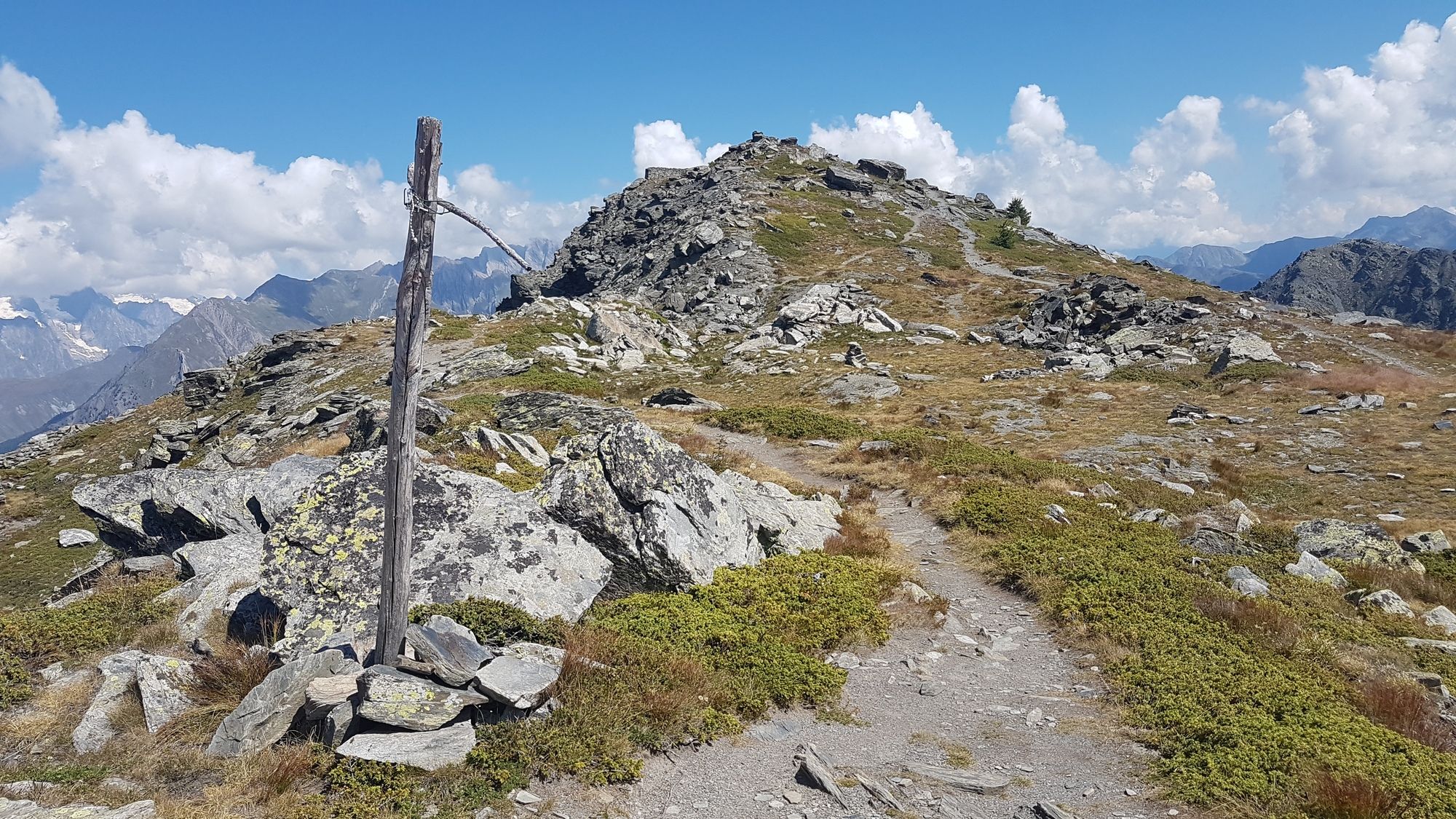
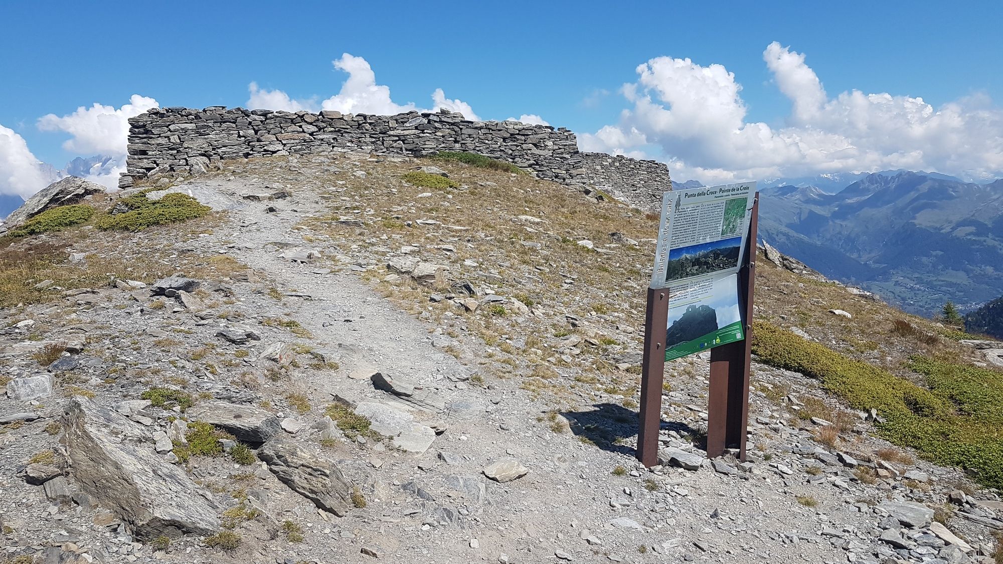
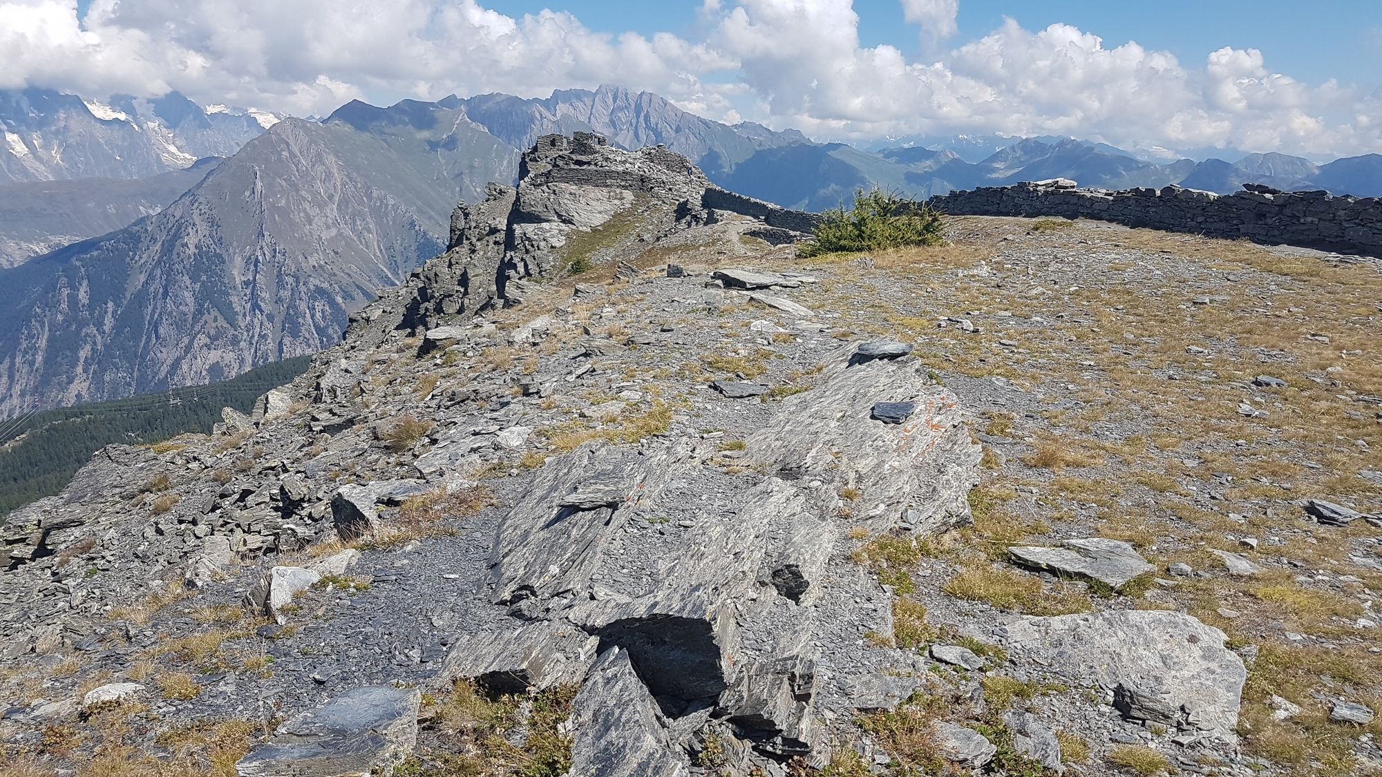
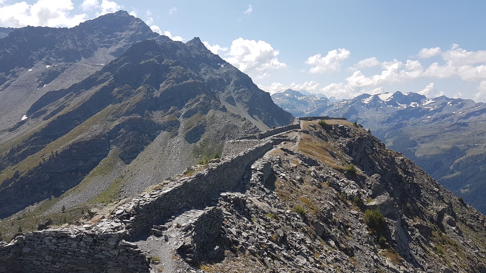
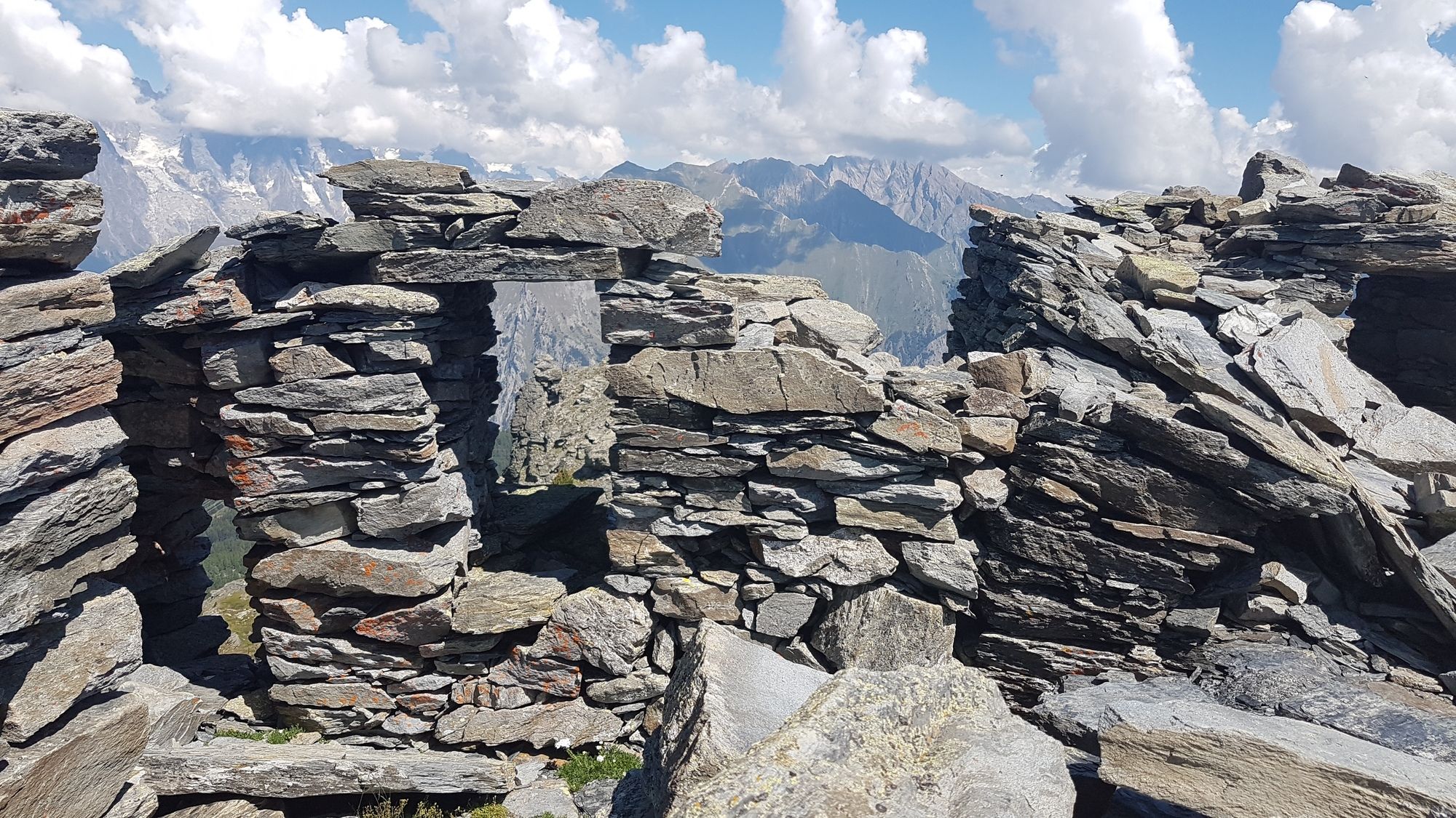
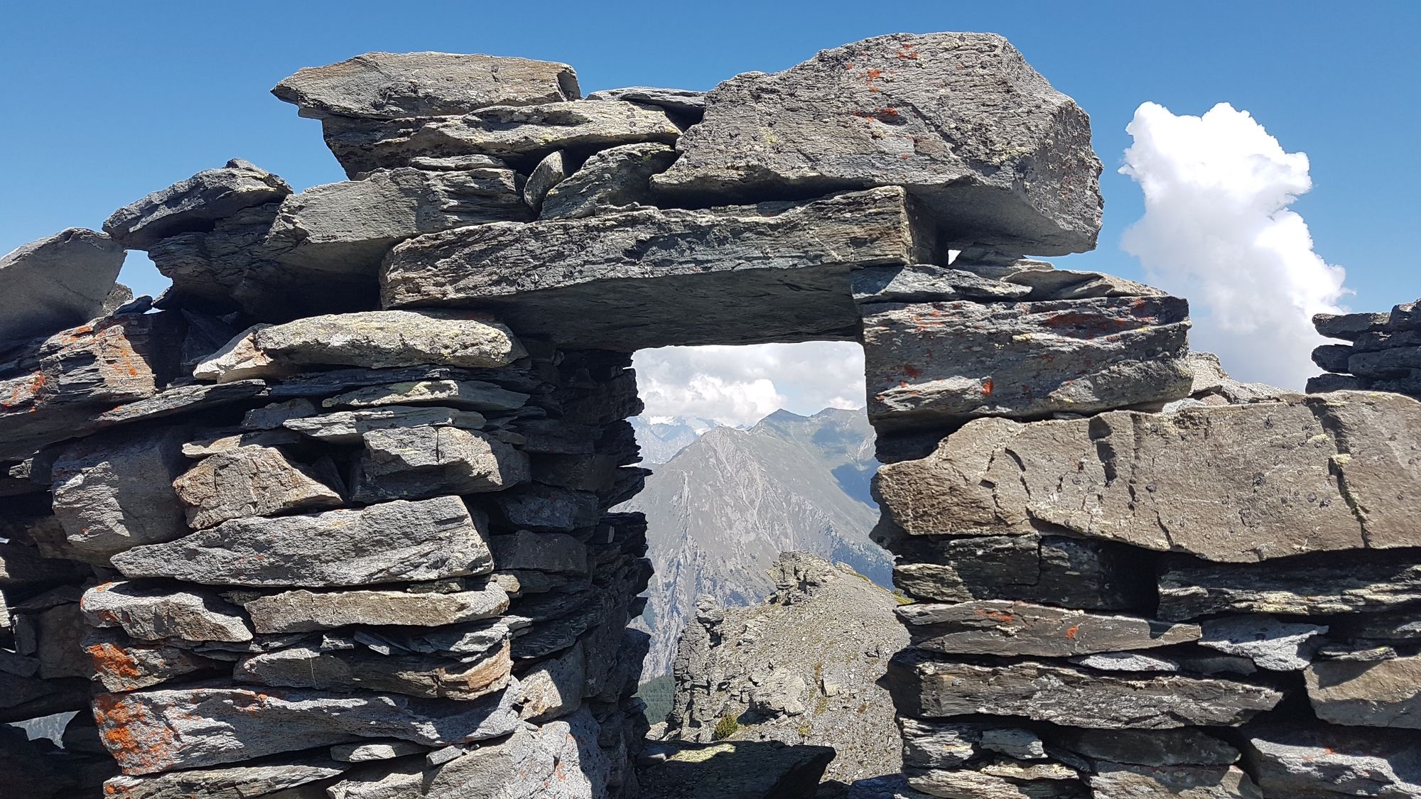
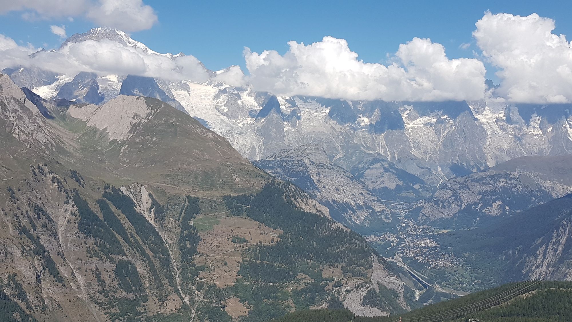
Singletrail auf den Colle della Croce und Wanderung zu den Resten des Forts am Punta della Croce. Möglichkeit die Tour zum Lago d'Arpy fortzusetzen.
- Difficulty
-
medium
- Rating
-
- Starting point
-
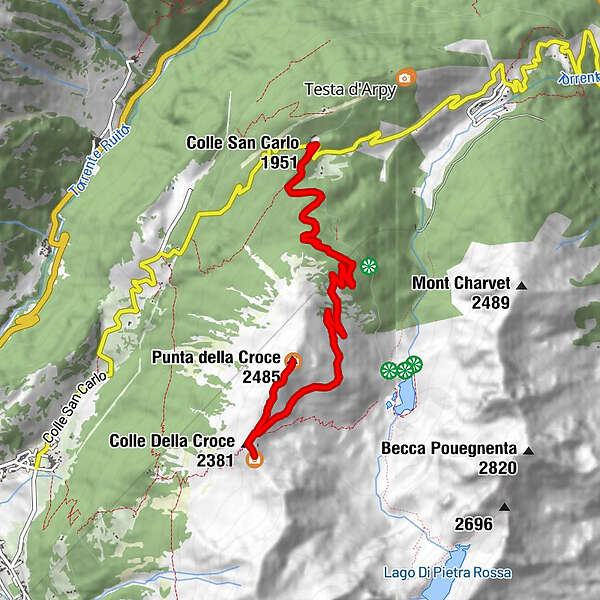
Colle San Marco
- Route
-
Plan de Buillet1.1 kmPointe de la Croix (2,480 m)6.3 kmPlan de Buillet11.2 km
- Best season
-
JanFebMarAprMayJunJulAugSepOctNovDec
- Highest point
- Punta della Croce (2,481 m)
- Endpoint
-
Colle della Croce und Punta della Croce (Fort)
- Rest/Retreat
-
Ristorante Genzianella am Colle San Marco
- Information
-
Mountainbiken im Aostatal, Edizioni Versante Sud, Tour 39 "Das Reich der Winde"
- Videos
-
 27:225 years ago


GPS Downloads


Surfaces
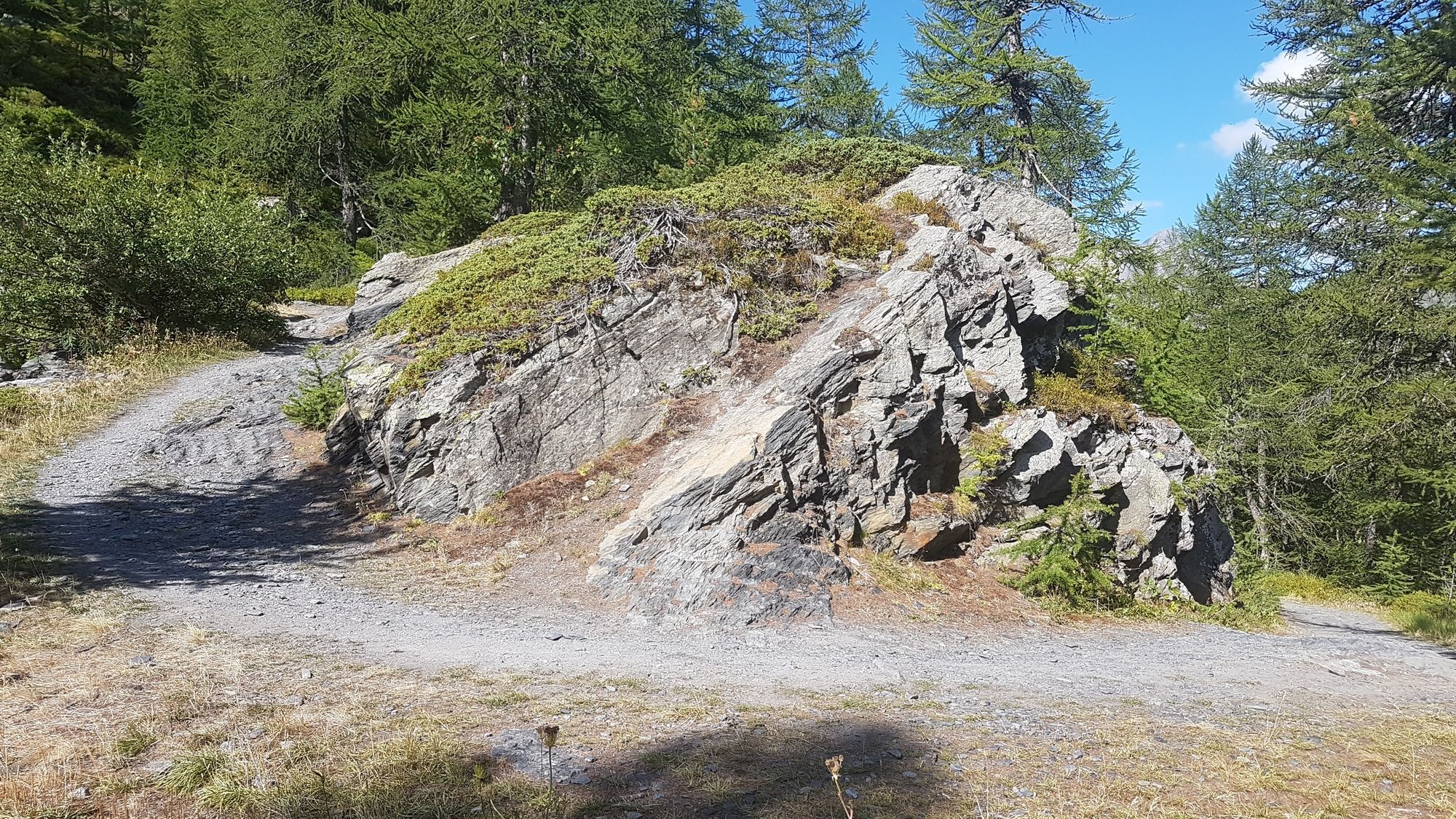
Asphalt
Gravel
(1.6km/ 10%)
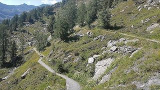
Forest
Mountain paths
Single trails
(11.4km/90%)
Trial
Traffic
Other tours in the regions
-
Savoie
3
-
Mont Blanc
3