
- Brief description
-
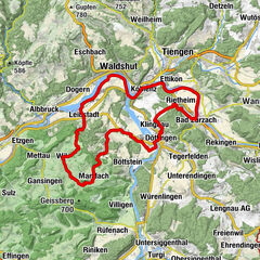
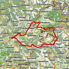
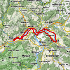
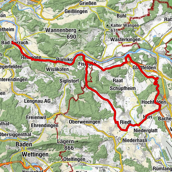
Cycle tour from Bad Zurzach via Weiach, Glattfelden, Bülach and Neerach back to Kaiserstuhl.
- Difficulty
-
medium
- Rating
-
- Starting point
-
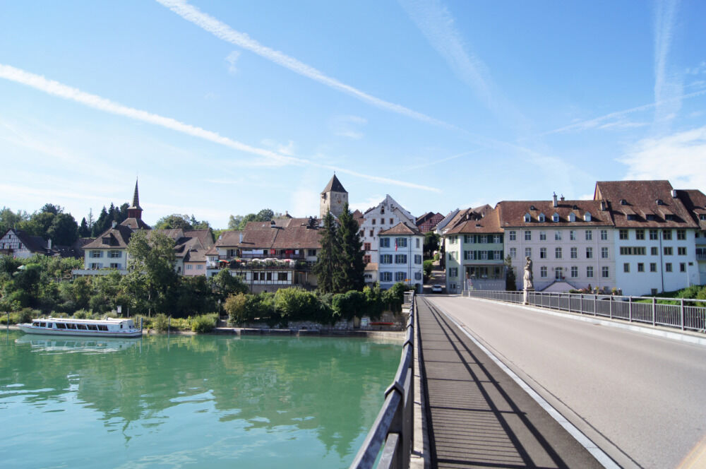
Bad Zurzach, tourist office
- Route
-
Reformierte Kirchgemeinde0.5 kmBad Zurzach (340 m)0.6 kmRekingen (341 m)2.7 kmKrone3.3 kmGasthaus zur Mühle3.6 kmRekingen (338 m)3.8 kmSchlössliächer4.6 kmMellikon (358 m)5.8 kmBahnhöfli6.7 kmRümikon (342 m)7.7 kmAnnakapelle7.9 kmFisibach (382 m)11.9 kmRestaurant Bären12.2 kmHägelen13.9 kmTal14.8 kmHueb15.1 kmFlüenlihölzli15.9 kmBachs17.0 kmBistro Bachs17.1 kmLiebetbuck (526 m)19.6 kmSteinmaur21.1 kmRiedt23.2 kmNöschikon24.5 kmOberhöri25.3 kmHöri25.8 kmNiederhöri26.1 kmIm Jakobstal27.5 kmBülach (428 m)28.3 kmHochfelden (399 m)29.2 kmGlattfelden (387 m)35.5 kmLetten (346 m)37.2 kmThaigarden37.2 kmKesselhaus37.2 kmTurbinenstube37.2 kmFreihof39.0 kmZweidlen40.1 kmWeiach (390 m)42.4 kmKaiserstuhl (341 m)44.1 kmKreuz44.2 kmFisibach (382 m)44.7 km
- Best season
-
JanFebMarAprMayJunJulAugSepOctNovDec
- Description
-
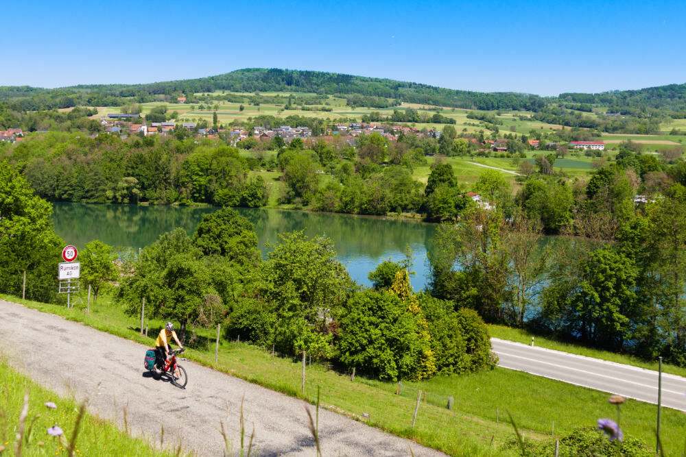
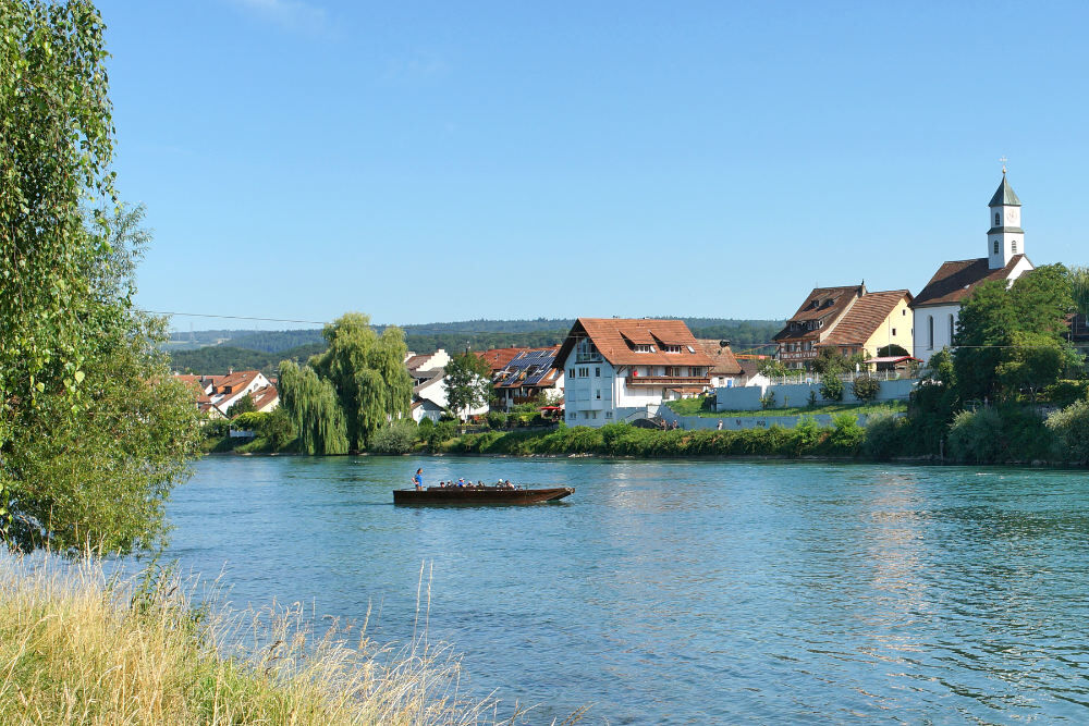
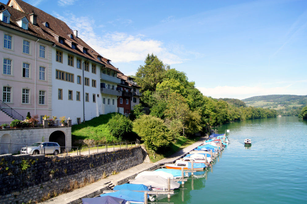
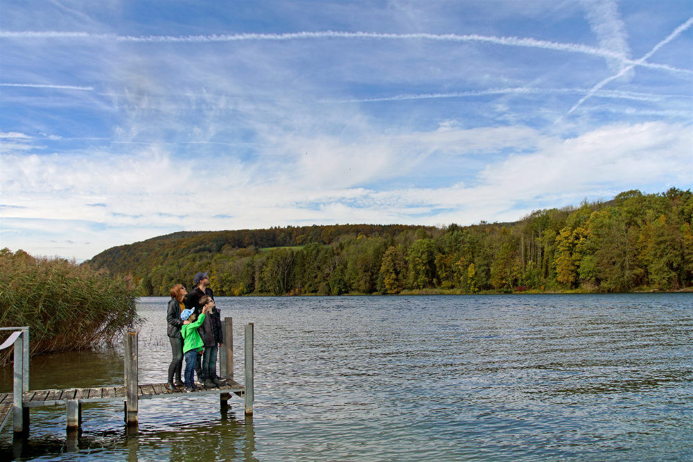
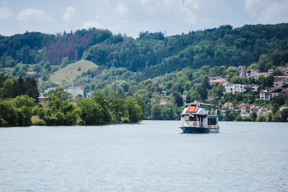
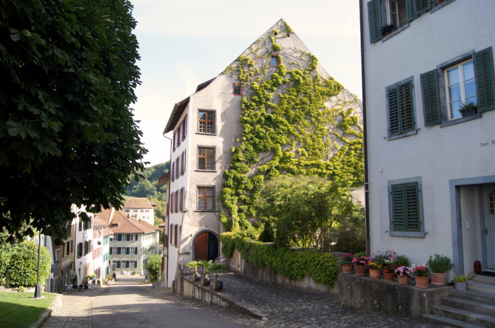
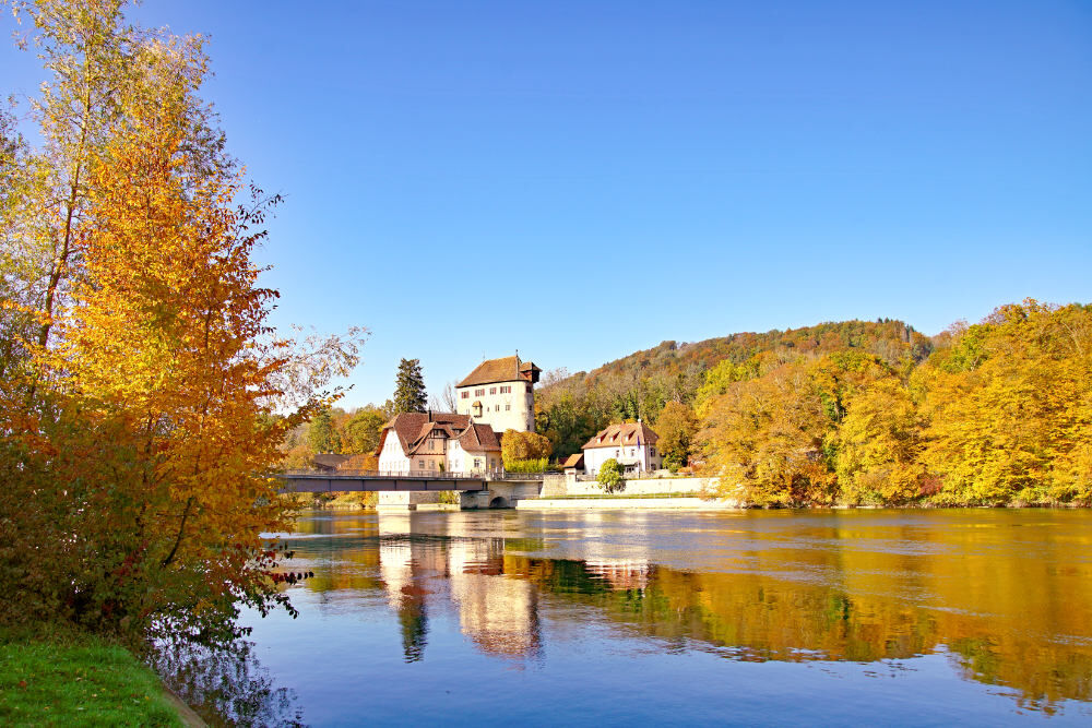
The tour leads from Bad Zurzach to Rekingen, Mellikon and Rümikon to Fisibach. From Fisibach, continue through the Bachsertal valley (approx. 8 km slightly uphill) until you reach the Neeracherried (nature conservation centre with observation platform) via Obersteinmaur. At the roundabout, turn right towards Niederglatt, but after 70 m turn left along the stream. Cross a small wooden bridge to reach the Glatt and enjoy the ride directly along the Rhine via Höri, Hochfelden, Glattfelden (covered and beautiful rest area) to Rheinsfelden (approx. 15 km and always slightly downhill). The route leads alternately along the right or left bank of the river in a very beautiful natural landscape. Continue along the cycle path to Weiach - Kaiserstuhl - Mellikon. On the village street of Mellikon you have the opportunity to take a break at the Jägerhof inn (with a large bicycle stand and garden restaurant). The Jägerhof is on the Veloland Rhine route. Guest rooms are available for individuals or families planning longer routes. From here, the route takes you back to Bad Zurzach.
- Highest point
- 516 m
- Endpoint
-
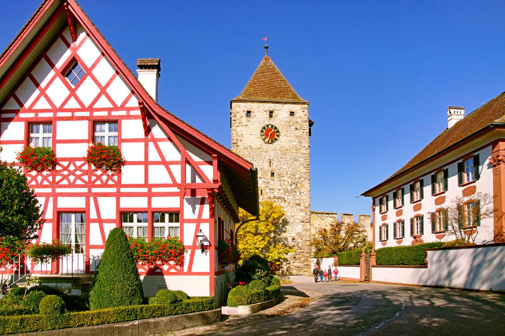
Fisibach, school building
- Height profile
-
 © outdooractive.com
 - Safety instructions
-
The cycle paths and side roads on the route have an asphalt surface, which means that all types of bike can be used. In fine weather and during peak times, the cycle path along the Glatt is heavily used, which is why mutual consideration is required.
- Additional information
- Directions
-
By car:
Bad Zurzach is around 25 minutes from Baden, 35 minutes from Zurich or Kloten Airport and 40 minutes from Schaffhausen.
- Public transportation
-
By bus/train:
Bad Zurzach can be reached by bus from Brugg; or by train from Baden or Waldshut.
- Parking
-
Parking is available in the paid car park of the Zurzach thermal baths.
-

-
AuthorThe tour Bachsertal - Glatt is used by outdooractive.com provided.