- Brief description
-
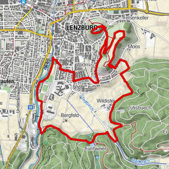
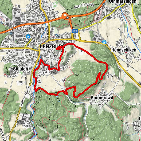
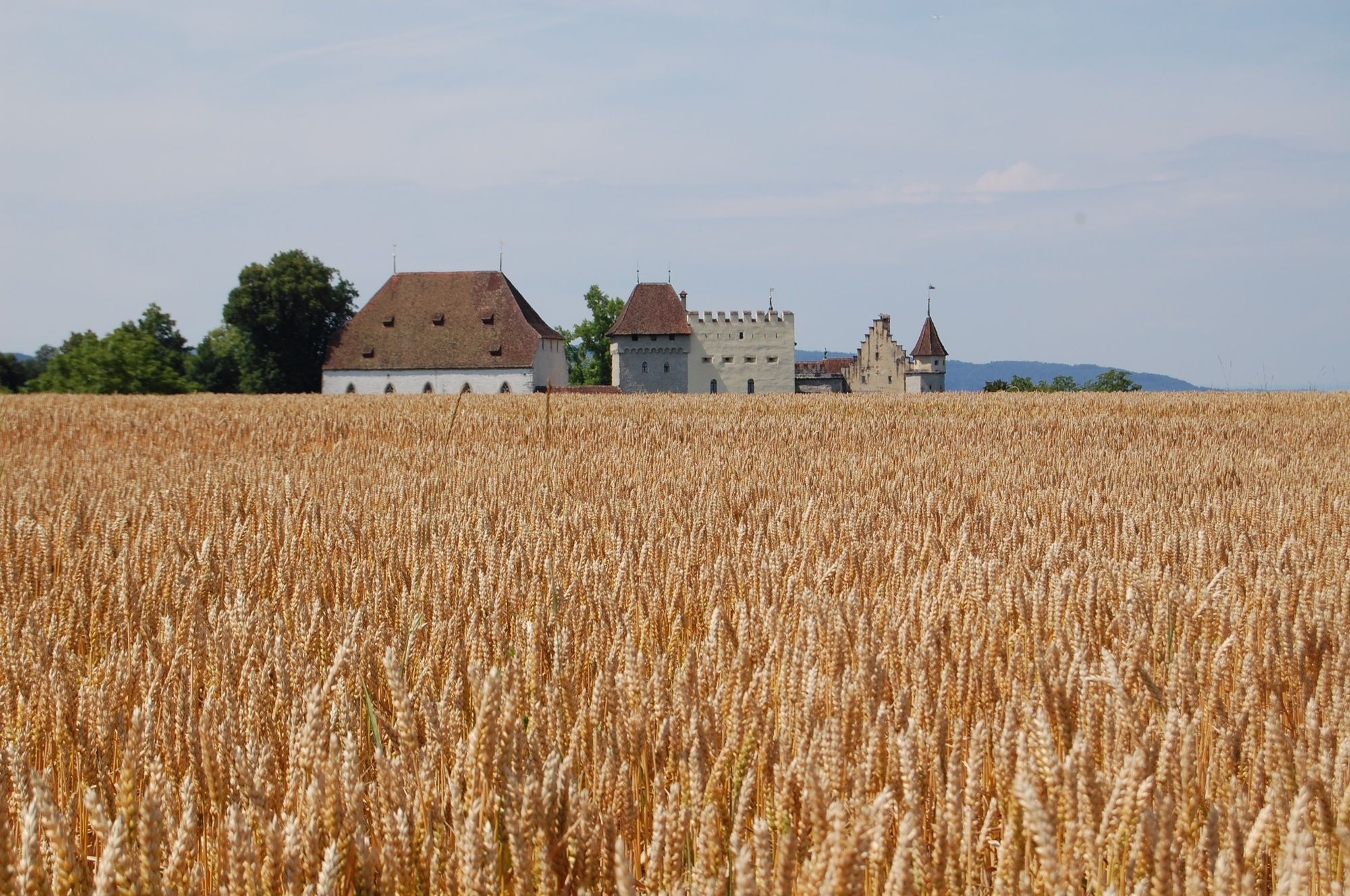
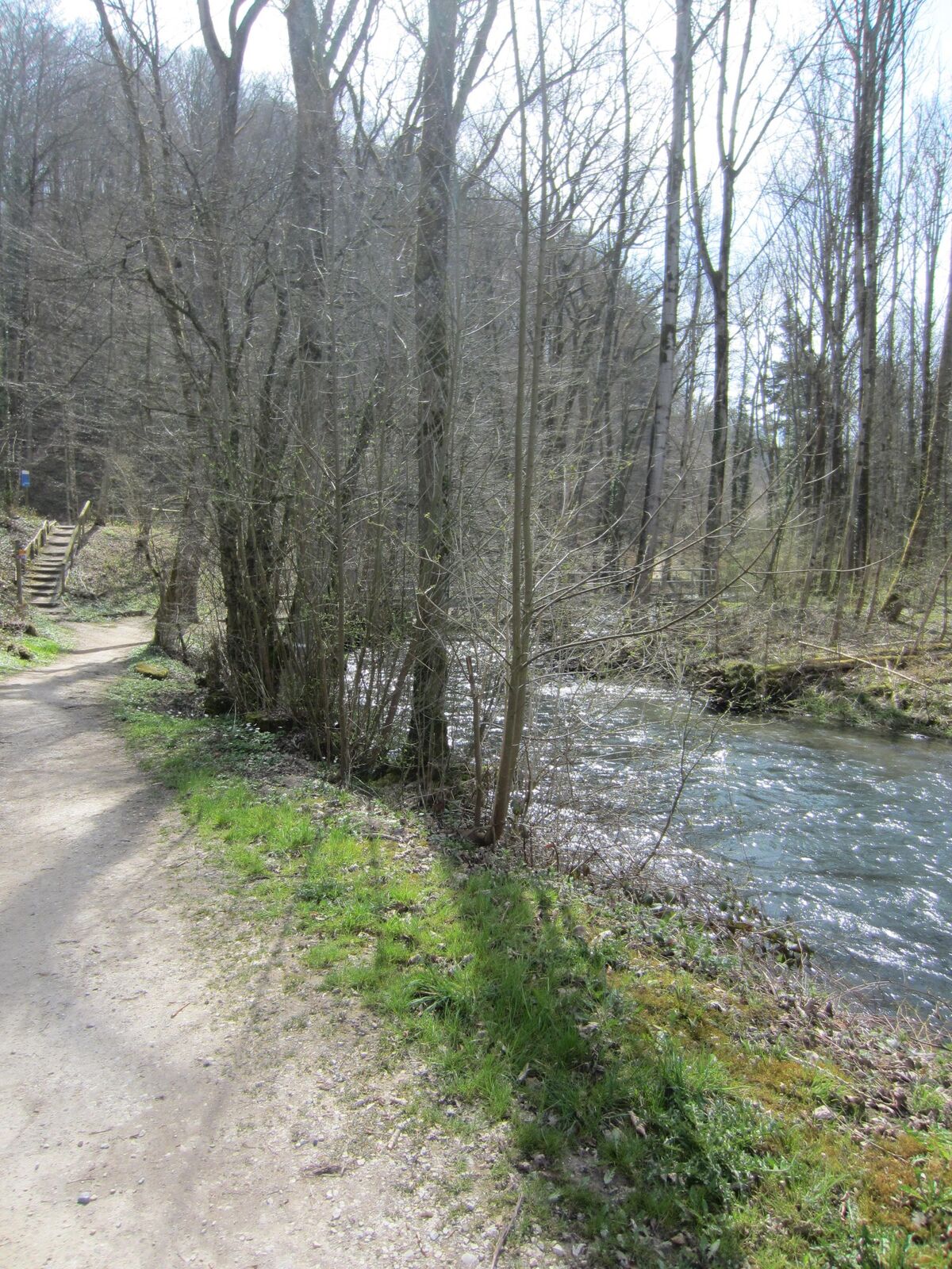
Walking Trail 1 (rot) Lenzburg
- Route
-
Staufen (420 m)0.6 kmLütisbuech3.3 kmEi4.3 kmBüel6.6 kmFelsenkeller7.3 kmLenzburg (407 m)8.3 kmSchlossberg (508 m)8.4 kmSchloss8.9 kmBölli9.8 kmWidmi10.0 km
- Highest point
- 535 m
- Endpoint
-
Parkplatz Bachstrasse (nähe Schwimmbad Lenzburg)
- Height profile
-
 © outdooractive.com

- Author
-
The tour Lenzburg Walking Trail 1 is used by outdooractive.com provided.
GPS Downloads


Other tours in the regions