- Difficulty
-
easy
- Rating
-
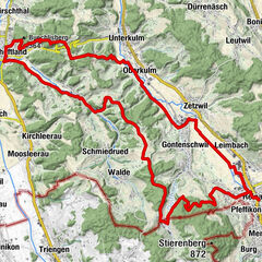
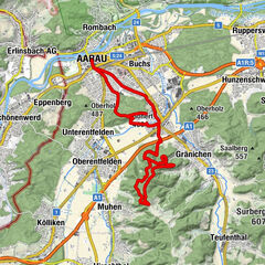
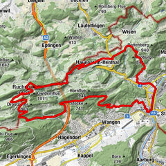
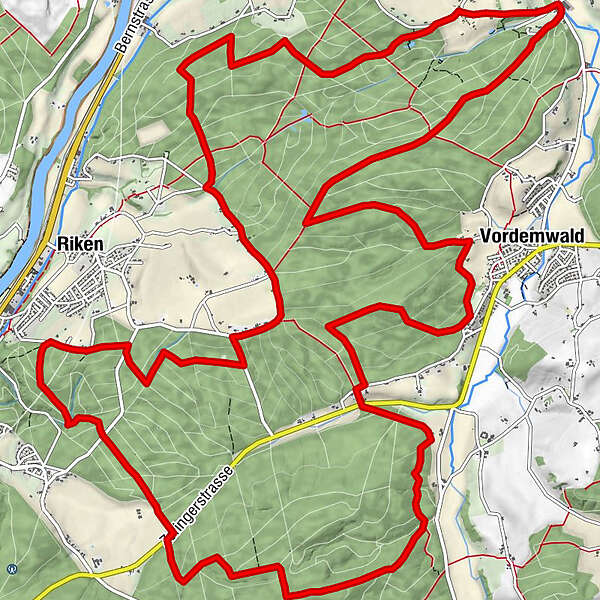
- Route
-
Tannacker17.5 kmGfill23.4 km
- Highest point
- 563 m
- Height profile
-
 © outdooractive.com
- Author
-
The tour bikingZofingenregio_Boowald-Tour is used by outdooractive.com provided.
GPS Downloads


General info
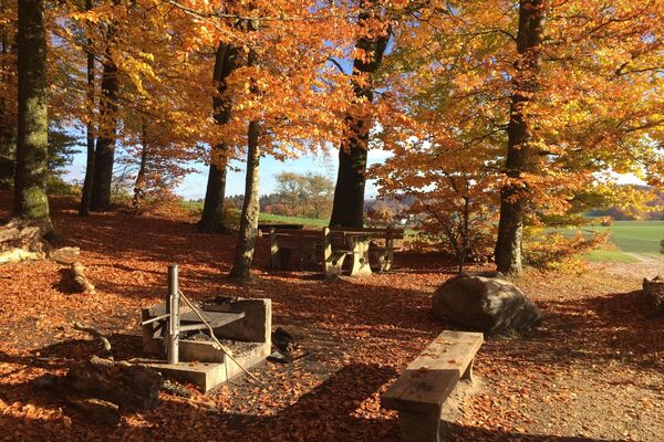
Refreshment stop
Other tours in the regions
-
Kanton Aargau
120
-
Olten und Region
73
-
Rothrist
22