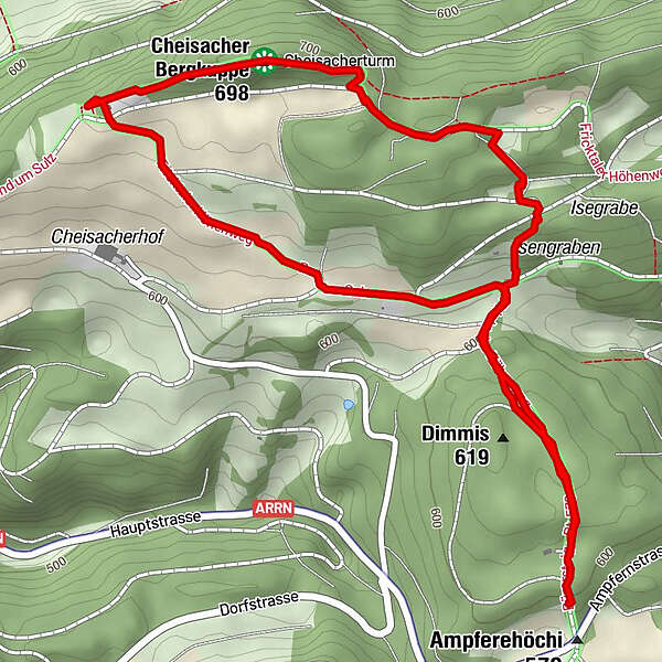
Cheisacherturm

Hiking
Map
Hide map
Print

Which problem do you want to report on this tour?
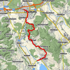
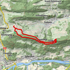
Tour data
3.64km
582 - 692m
Distance
126hm
121hm
Ascent
00:59h
 
Duration
GPS Downloads
  • GPX GPS Exchange Format (XML)
  • KML Google Earth, Google Maps
QR Download Codes for Mobile Phones
Other tours in the regions

Popular tours in the area

Lenzburg - Esterliturm - Eichberg - Schloss Hallwyl

easy Hiking
13.77km | 345hm | 03:52h

Freiämterweg: Othmarsingen - Widen

difficult Hiking
29.02km | 441hm | 08:00h

Hasenbergturm, Egelsee und Umwelt Arena

Hiking
8.72km | 176hm | 02:30h

Gisliflue & Gratwanderung, Schweiz

medium Hiking
8.59km | 318hm | 02:25h