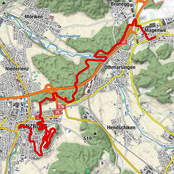
Tour data
13.77km
390
- 506m
216hm
236hm
02:52h
- Brief description
-
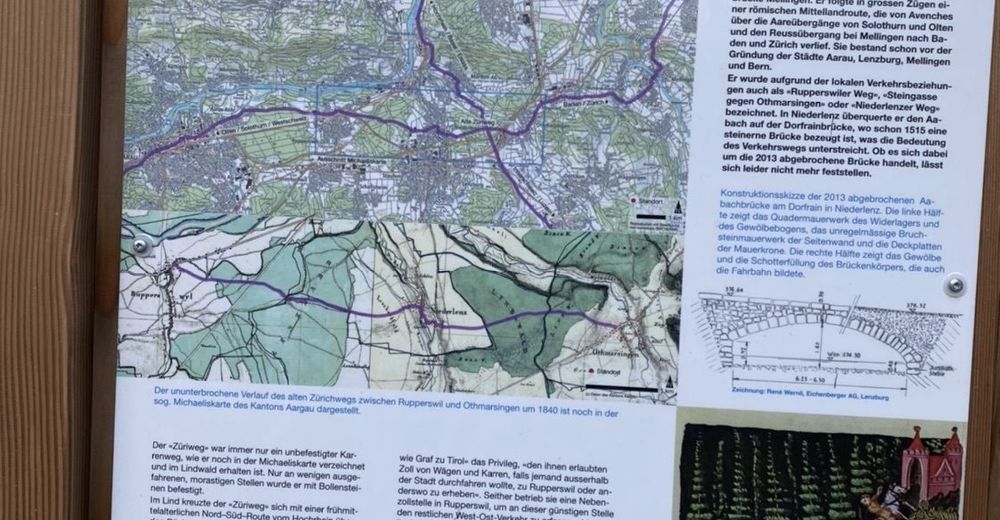
Lohnende Wanderung auf den Spuren der Römer
- Difficulty
-
easy
- Rating
-
- Route
-
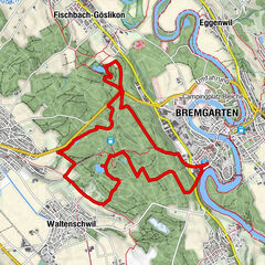
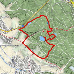
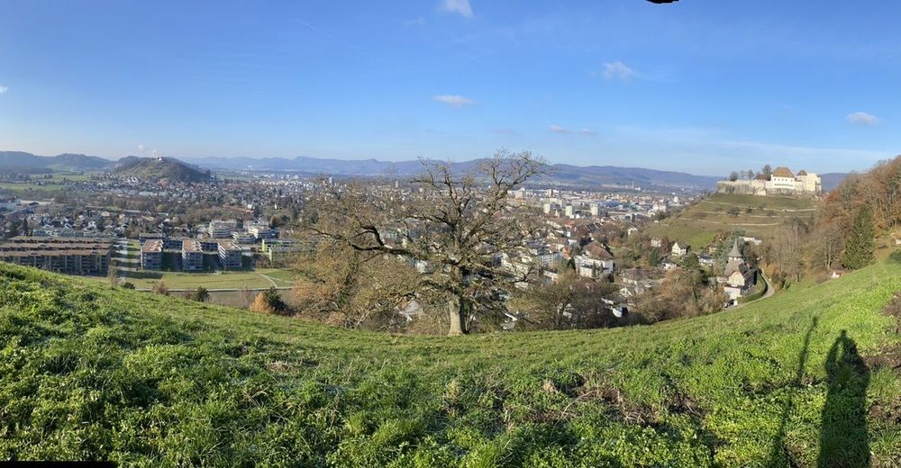
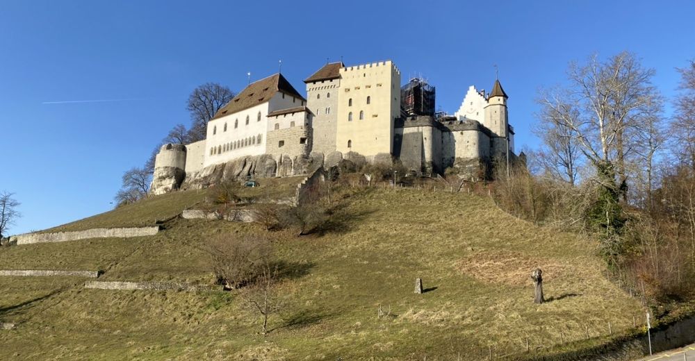
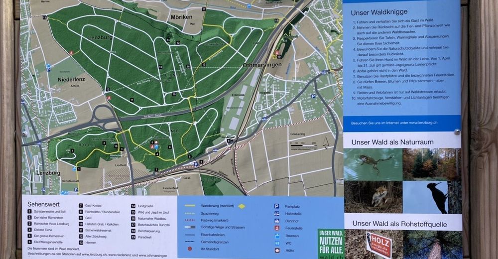
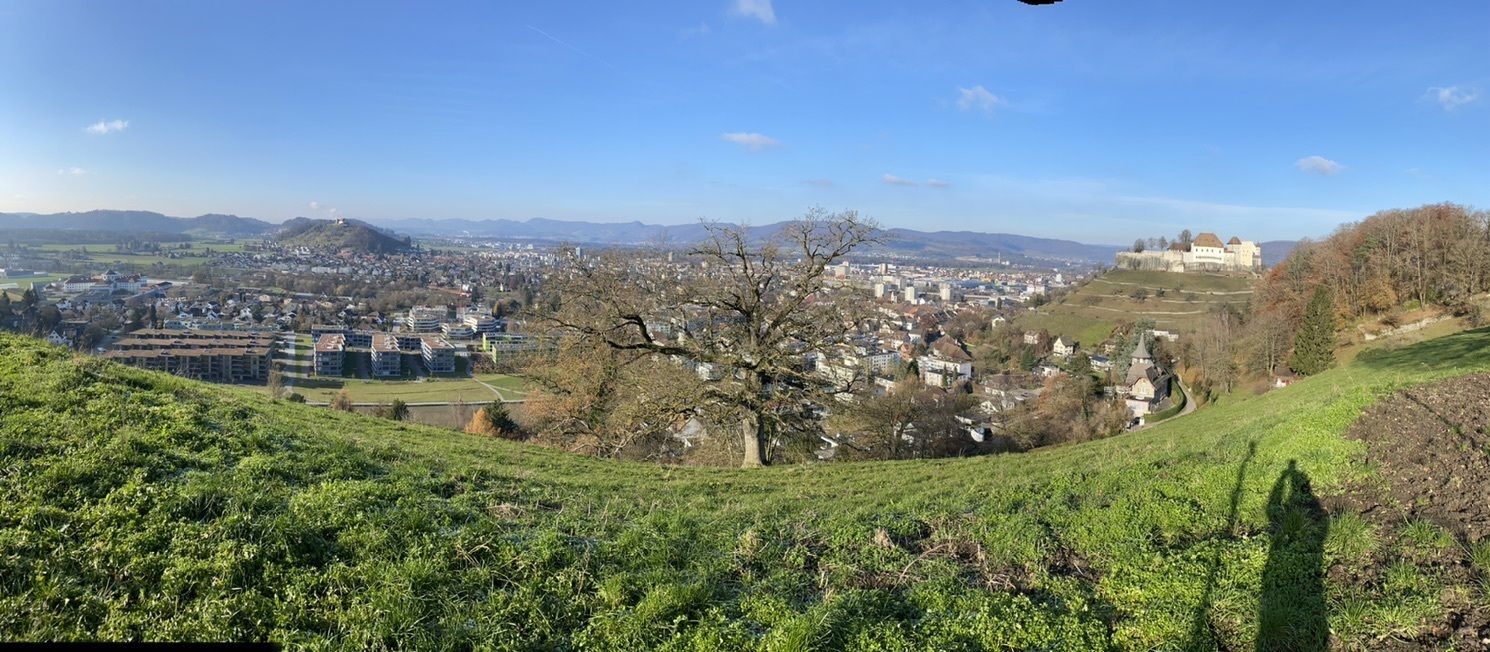
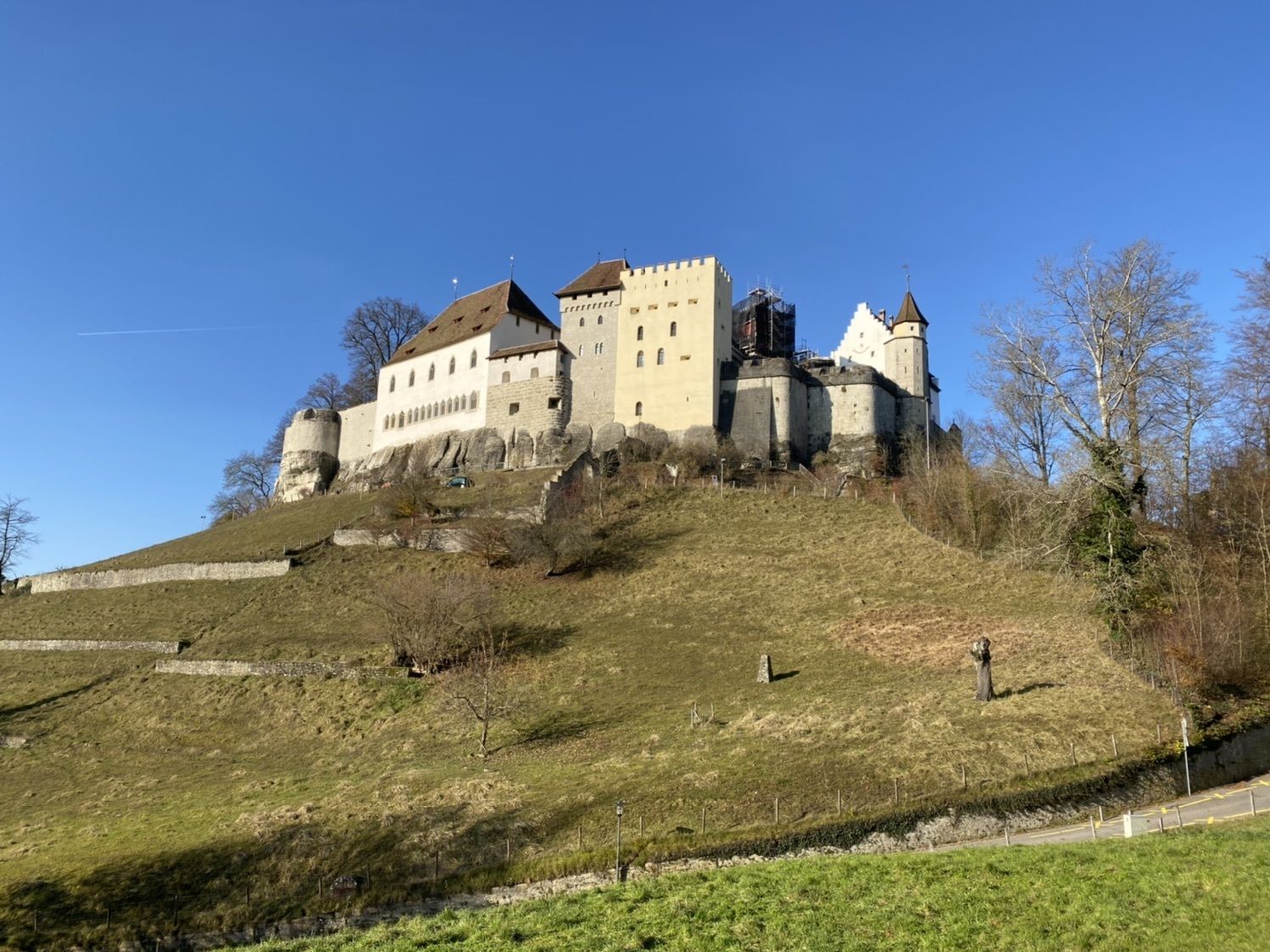
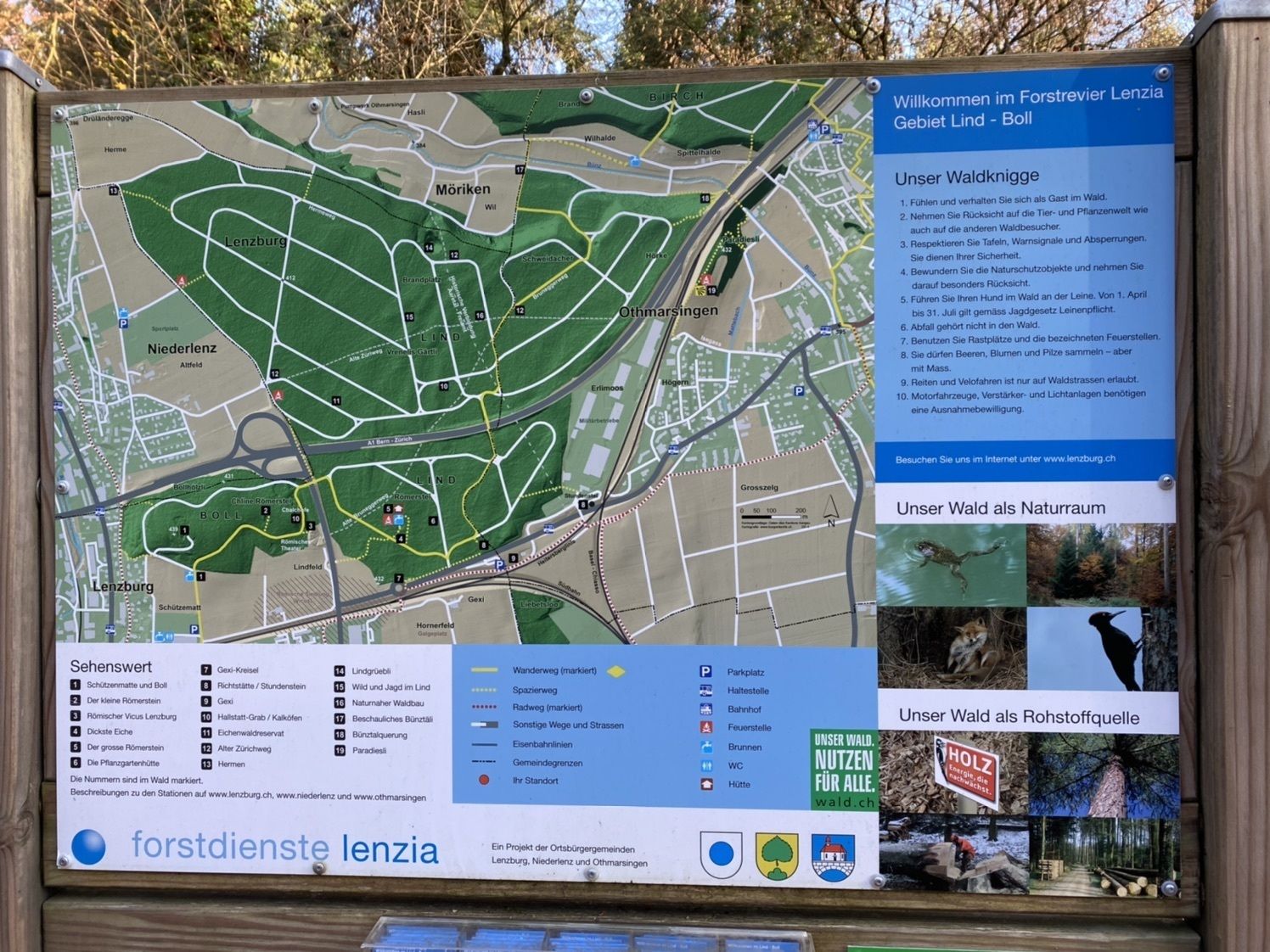
Mägenwil (422 m)dicksti Rottanne5.0 kmLindfeld7.0 kmSchützenmatte7.4 kmSchlossberg (508 m)8.8 kmGoffersberg (Gofi) (508 m)10.7 kmHimmelsleiterli10.8 kmSchloss11.3 kmBölli12.2 kmWidmi12.4 kmWALO Dampfwalze12.7 kmLenzburg (407 m)13.2 kmStadtkirche13.4 km
- Highest point
- 506 m
GPS Downloads


Other tours in the regions
-
Kanton Aargau
1493
-
Lenzburg Seetal Aargau
645
-
Lenzburg
226