- Brief description
-
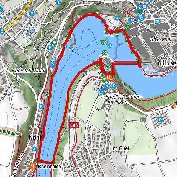
Hour-long walk around the Rhine Falls basin.
- Difficulty
-
easy
- Rating
-
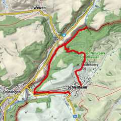
- Starting point
-
Rhine Falls
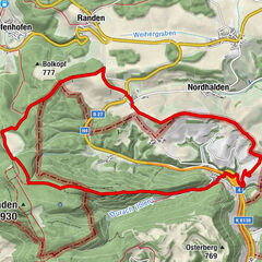
- Route
-
Anlegestelle Laufen0.9 kmEv. ref. Kirche Laufen am Rheinfall1.1 kmLaufen-Uhwiesen1.2 kmSchaffhausen (403 m)1.8 kmNeuhausen (410 m)1.9 kmRhine Falls1.9 kmNohl3.4 km
- Best season
-
JanFebMarAprMayJunJulAugSepOctNovDec
- Description
-
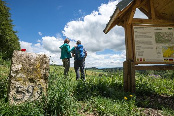
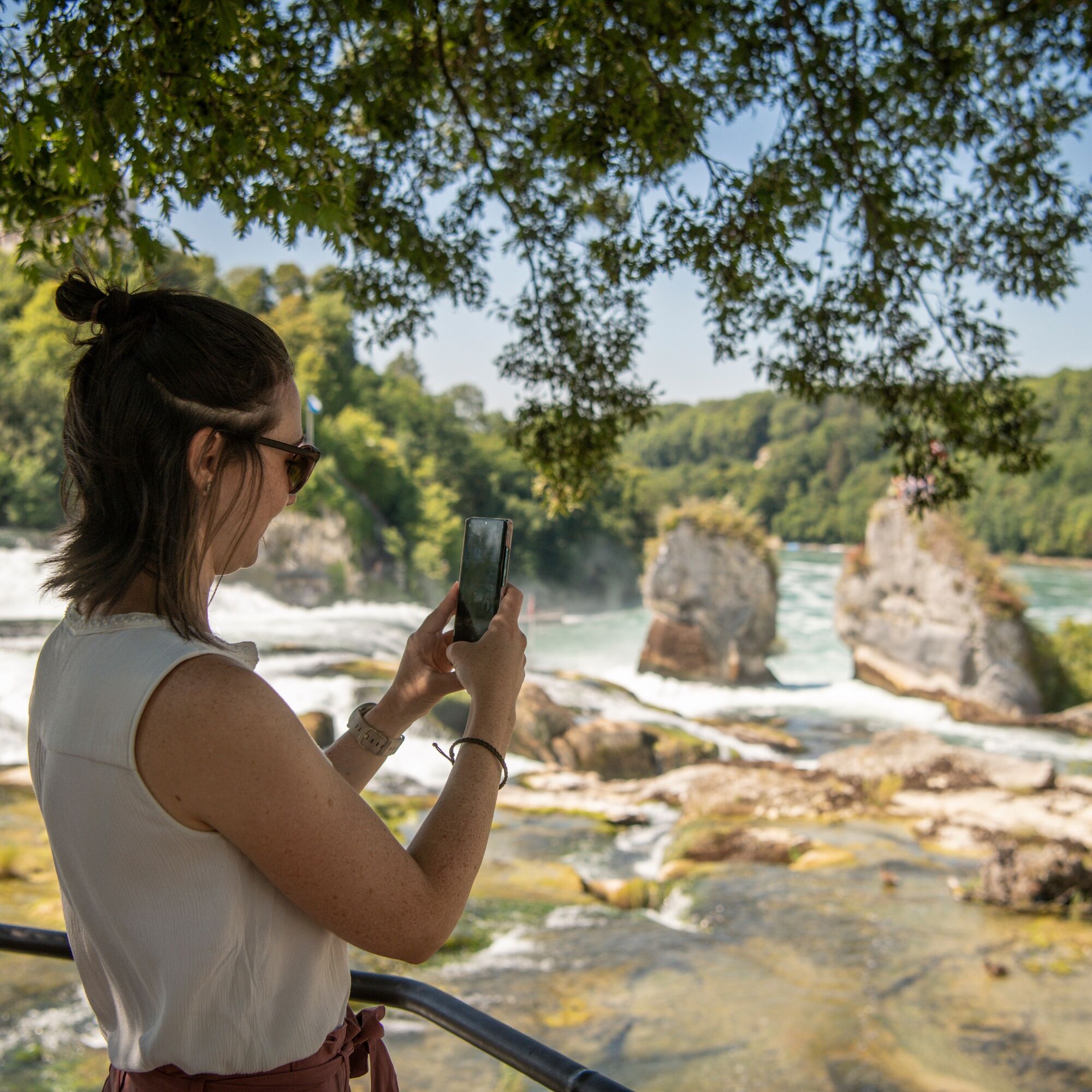
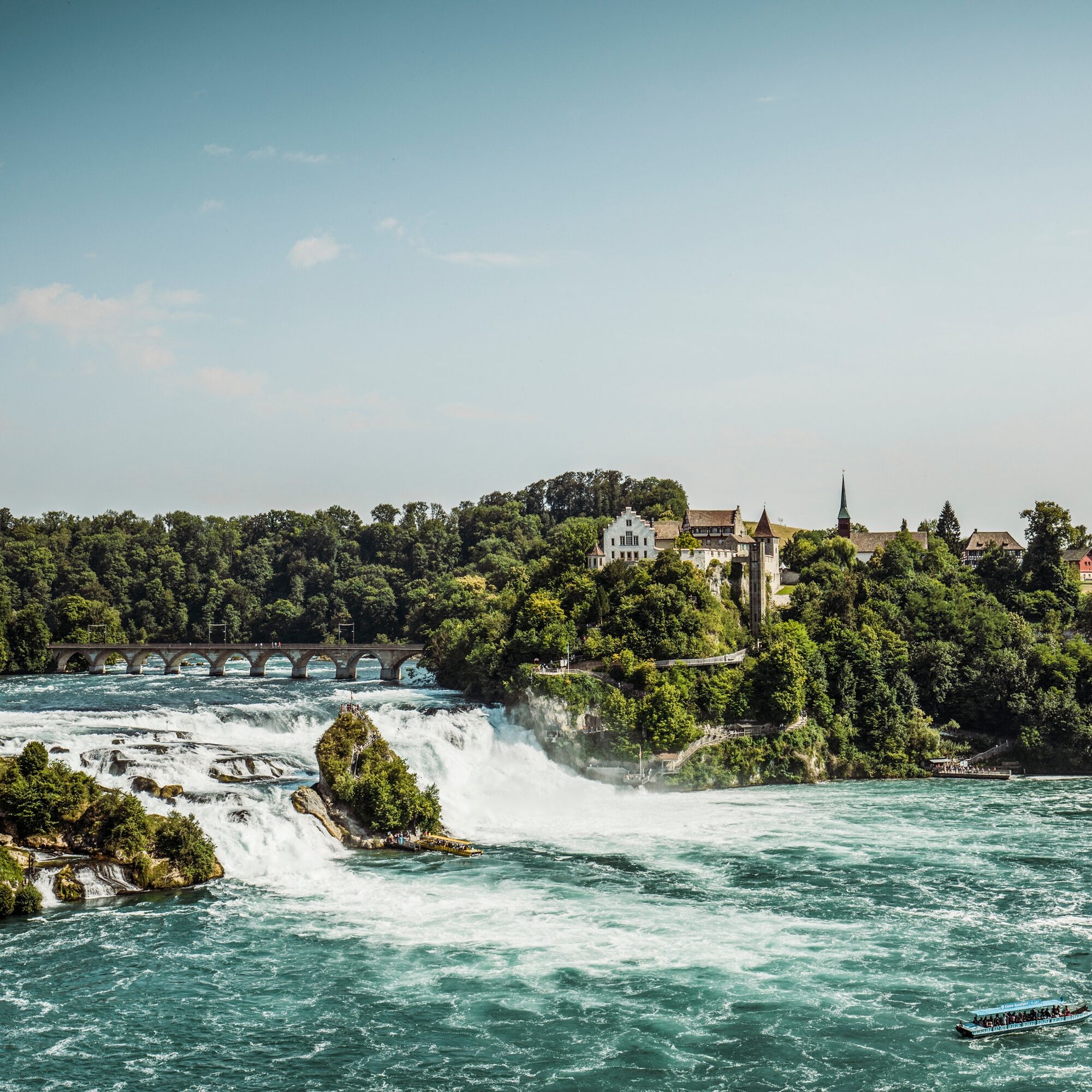
The Little Rhine Falls Circular Trail around the Rhine Falls basin is a leisurely walk along the banks of the Rhine. The path leads past Laufen Castle, over the large railway bridge to the mill wheel house with the old mill wheel. Steps then lead down to the Rhine Falls basin. Along the beautiful riverside promenade with the Park am Rheinfall and Schlössli Wörth restaurants, the trail continues along the edge of the forest to the Nohlbrücke bridge and back to the starting point.
The trail can be walked in both directions from any starting point.
It is not suitable for pushchairs and wheelchair users.
- Highest point
- 403 m
- Endpoint
-
Rhine Falls
- Height profile
-
 © outdooractive.com
 - Equipment
-
Comfortable shoes, drinks & snacks for in between
- Tips
-
Adventure Park, Neuhausen
Smilestones miniature world, Neuhausen
Rhyfall Mändli boat trip, Neuhausen
Laufen Castle at the Rhine Falls, Laufen Uhwiesen
- Additional information
- Directions
-
Starting point: Nohl
(However, the route can also be started at the Rhine Falls basin or at Schloss Laufen)
- Public transportation
- Parking
-
Use the official car parks directly at the Rhine Falls.


- Author
-
The tour Small Rhine Falls circular route is used by outdooractive.com provided.


General info
-
SchaffhauserLand
1027
-
Zürcher Weinland
521
-
Neuhausen am Rheinfall
154