
- Brief description
-
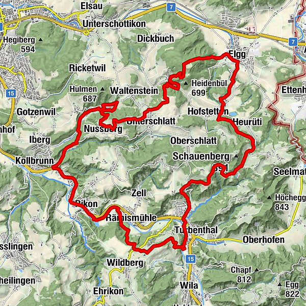
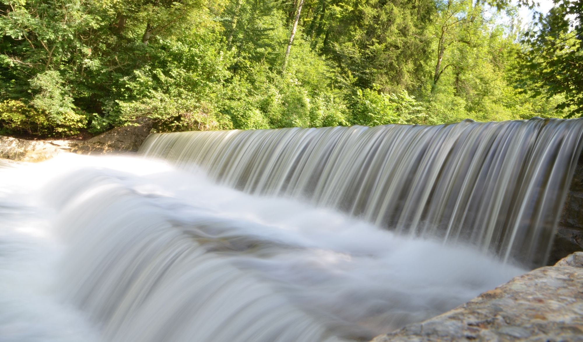
Der Start ist bei der Reithalle in Turbenthal, von wo aus es direkt über die Tössbrücke hinauf Richtung Tössegg geht.
- Difficulty
-
medium
- Rating
-
- Route
-
Tössegg1.1 kmRämismühle3.6 kmPizzeria Leone5.9 kmRikon6.1 kmFreihof6.1 kmRikon (512 m)6.2 kmIsebähnli6.3 kmSchöntal7.3 kmObere Rutzen7.5 kmRutzen8.0 kmLiebenau8.0 kmAu8.1 kmEidberg10.6 kmNussberg13.9 kmUnterschlatt15.6 kmWenzikon18.6 kmElgg (530 m)21.8 kmSennhof (Elgg)23.7 kmHofstetten (644 m)24.2 kmHeurüti25.4 kmGeretswil26.3 kmGirenbad29.6 kmGasthof Gyrenbad29.7 kmHutzikon31.2 kmTurbenthal (550 m)31.8 kmTurbenthal (554 m)32.0 km
- Best season
-
JanFebMarAprMayJunJulAugSepOctNovDec
- Highest point
- 790 m
- Endpoint
-
Turbenthal, Bahnhof
- Height profile
-
 © outdooractive.com
-

-
AuthorThe tour Turbenthal - Elgg - Turbenthal: «Mittleres Tösstal» is used by outdooractive.com provided.
GPS Downloads


General info
Refreshment stop
Other tours in the regions
-
SchaffhauserLand
50
-
Zürcher Oberland
53
-
Turbenthal
20