


Tour data
14.88km
252
- 501m
144hm
219hm
05:35h

- Brief description
-
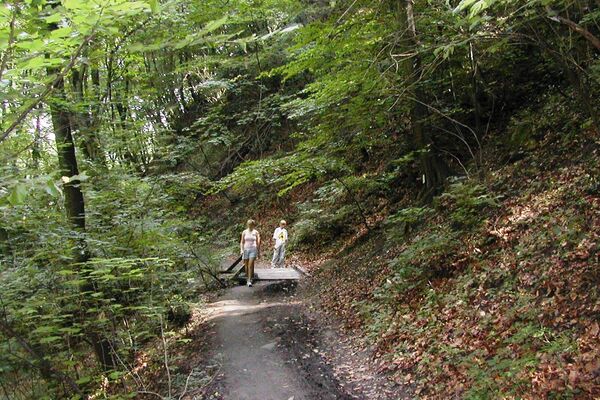
Jägerwaldsiedlung . Rotes Kreuz - Haseleckersteig
- Difficulty
-
easy
- Rating
-
- Route
-
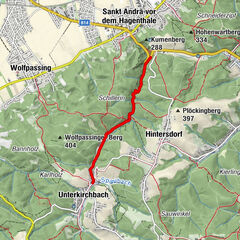
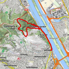
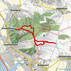
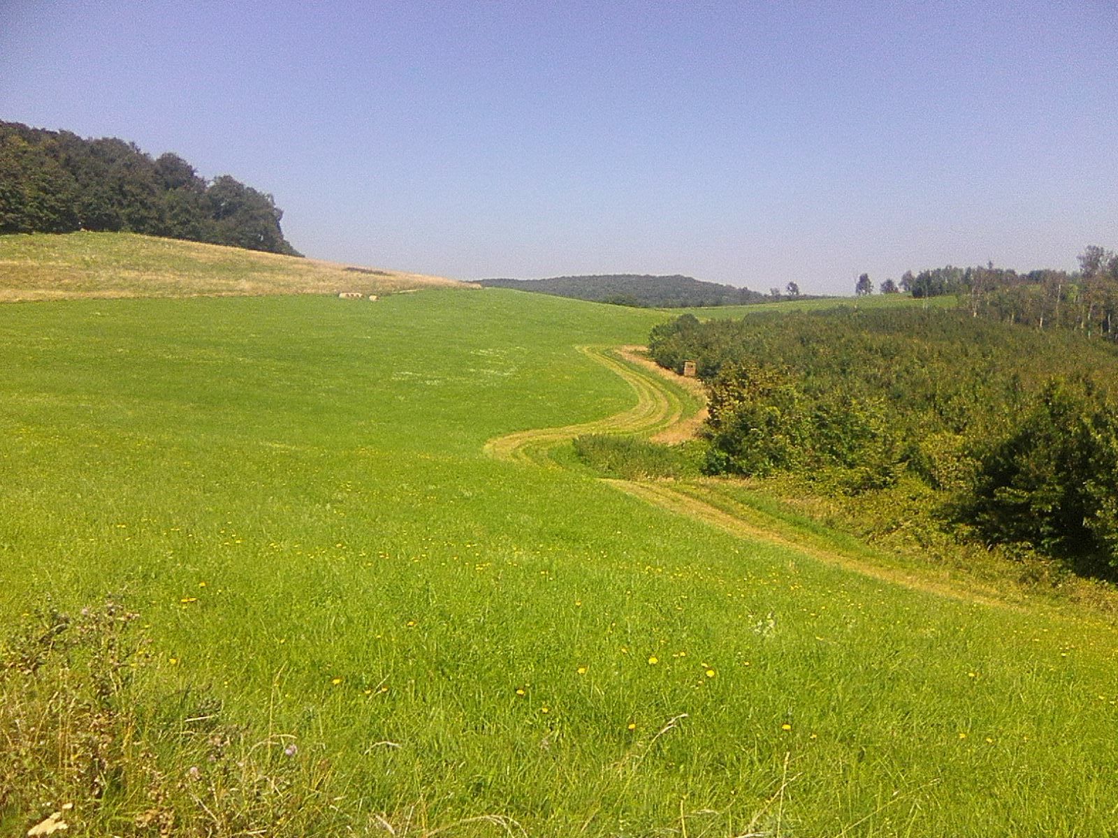
Schuhbrecherwald0.1 kmDianabründl4.8 kmFranz-Karl-Fernsicht (488 m)6.6 kmSophienalpe7.2 kmRosskopf (507 m)7.3 kmHameau (465 m)9.9 kmZwei Gehängte10.8 kmDreimarkstein (454 m)11.2 kmHäuserl am Roan11.3 kmVienna (542 m)14.4 kmUpper Sievering14.5 kmKirche zum Hl. Severin14.6 kmSievering14.6 km
- Best season
-
JanFebMarAprMayJunJulAugSepOctNovDec
- Highest point
- 501 m
- Rest/Retreat
-
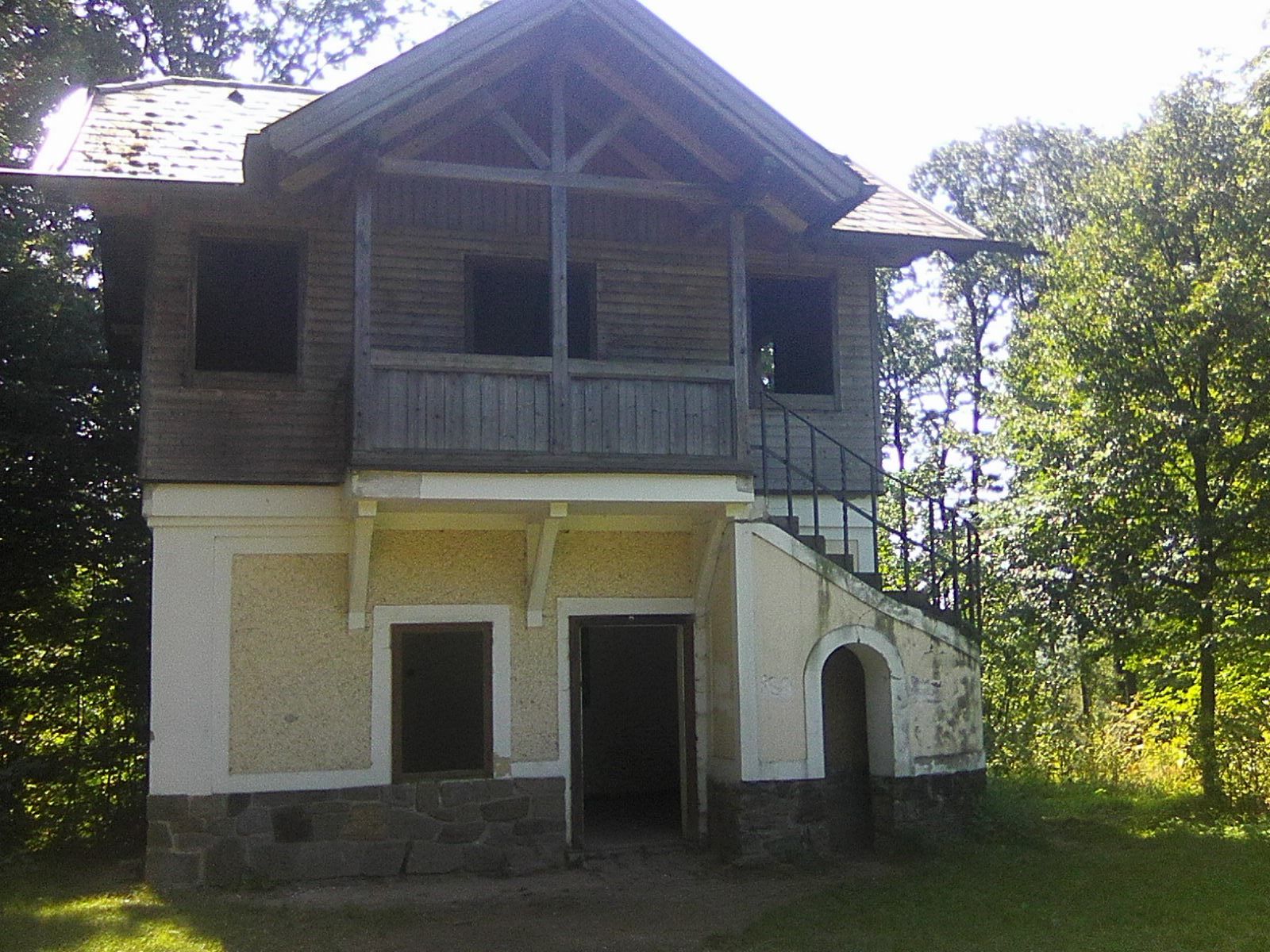
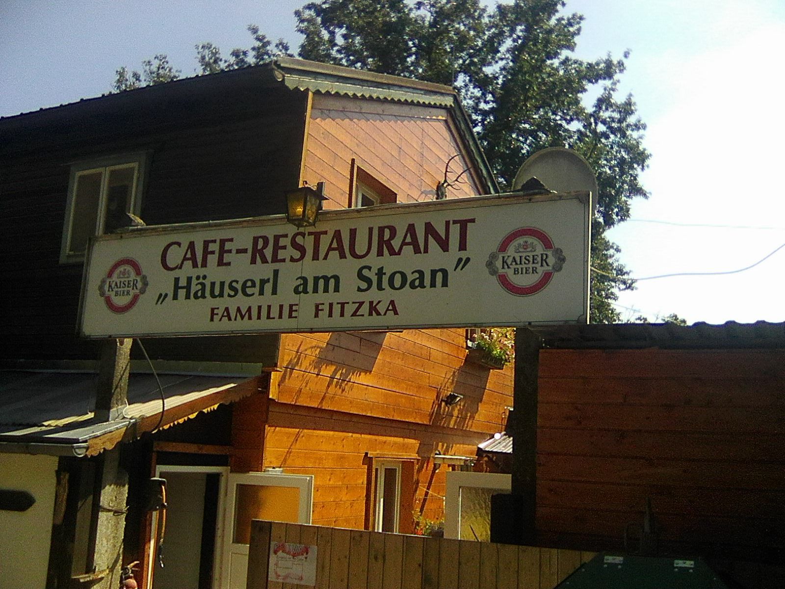
Sophienalpe, Häuserl am Roan, Häuserl am Stoan
- Ticket material
-
KOMPAS Wnderkarte 209 - Wienerwald


- Source
- Roman Mazanek
GPS Downloads


Trail conditions
Asphalt
Gravel
Meadow
Forest
Rock
Exposed
Other tours in the regions
-
Wienerwald
4219
-
Wien und Umgebung
2481
-
Hohe Wand Wiese
1191