
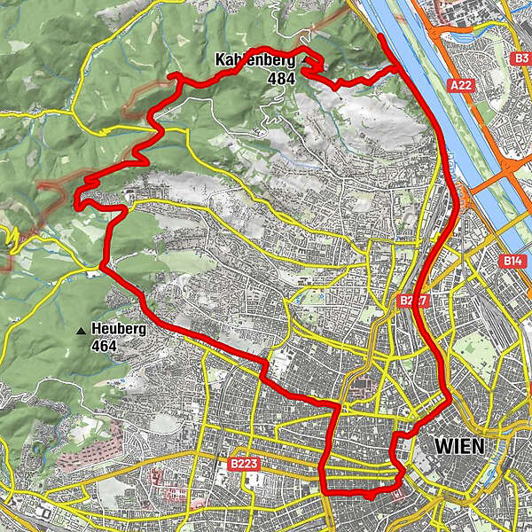
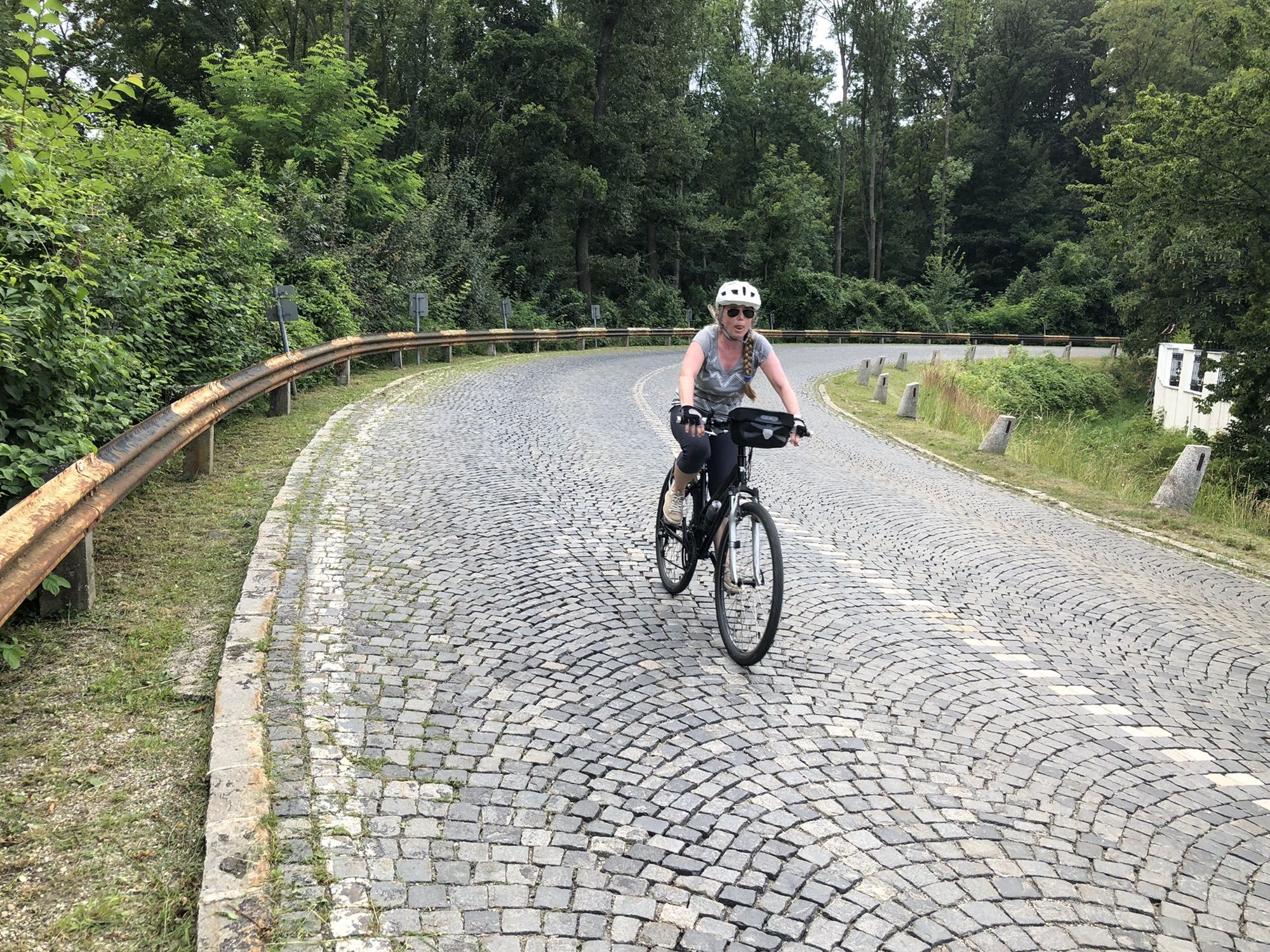
Tour data
36.28km
156
- 506m
558hm
542hm
03:37h
- Brief description
-
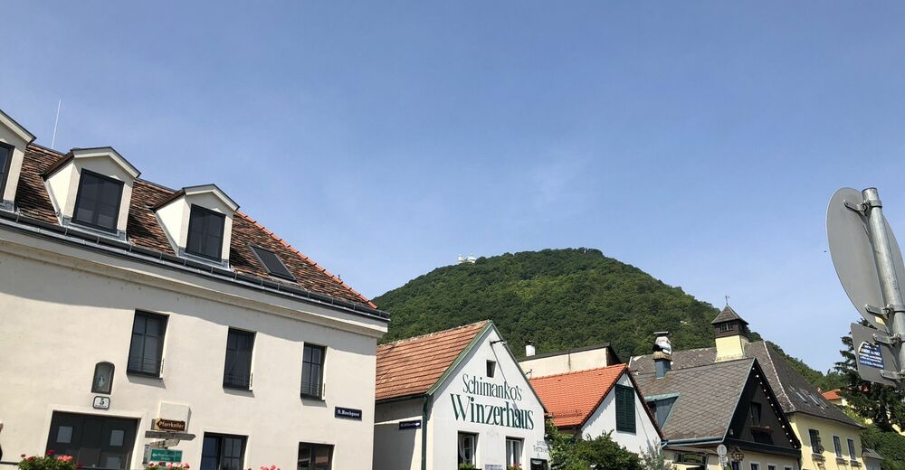
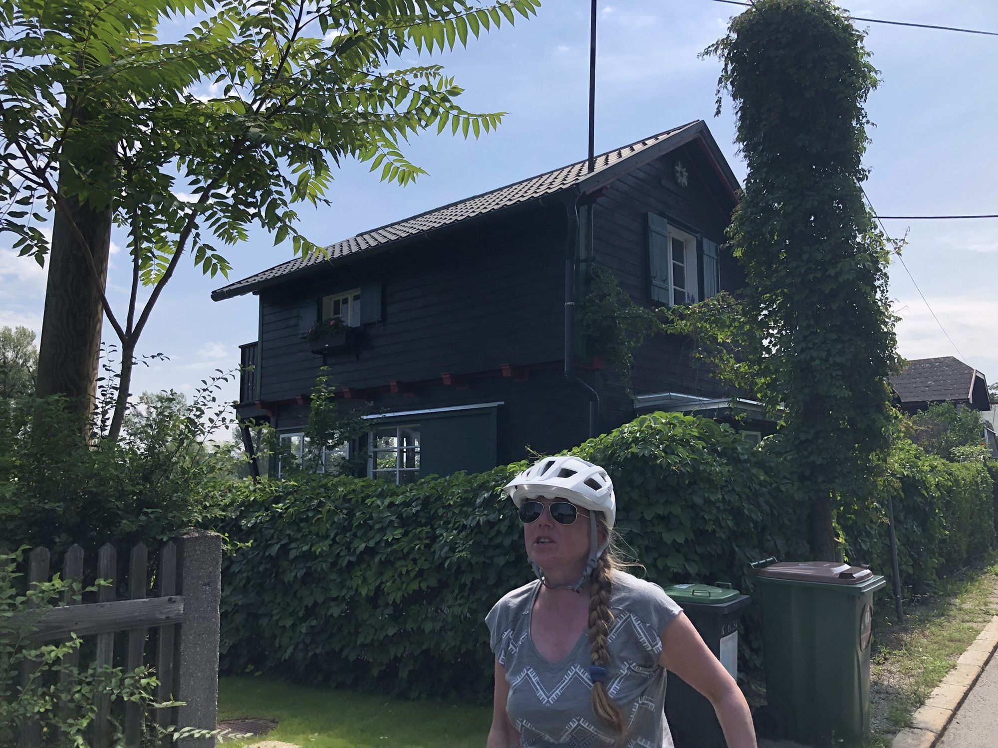
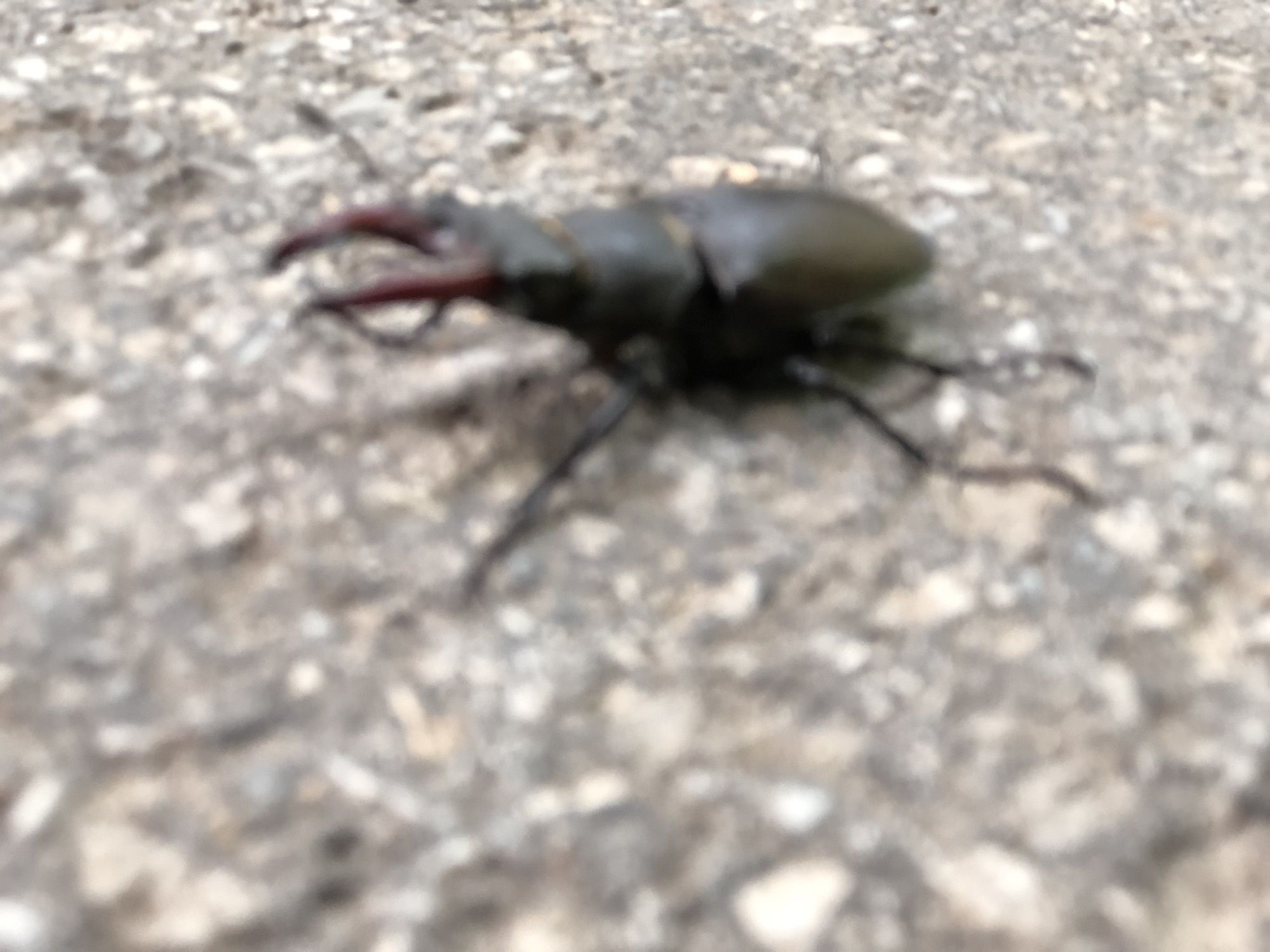
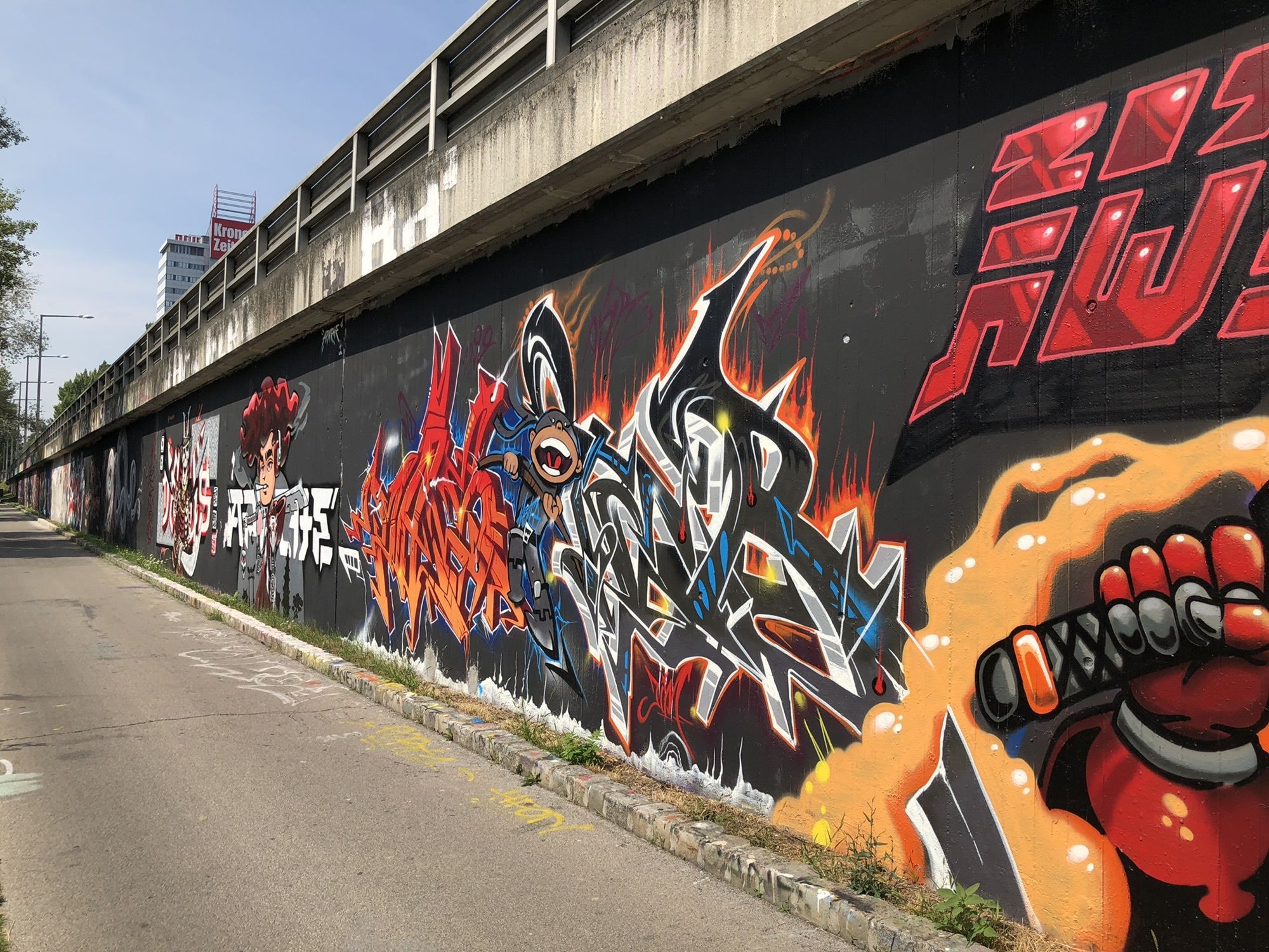
Ohne Grinzing mit gewitter
- Difficulty
-
easy
- Rating
-
- Route
-
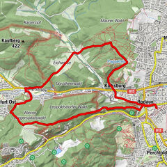
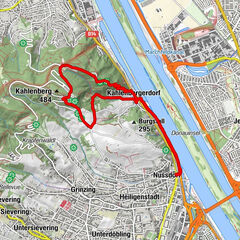
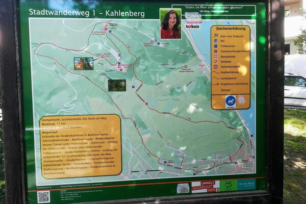
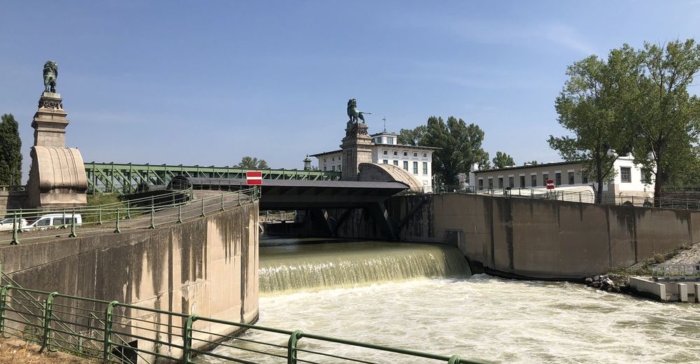
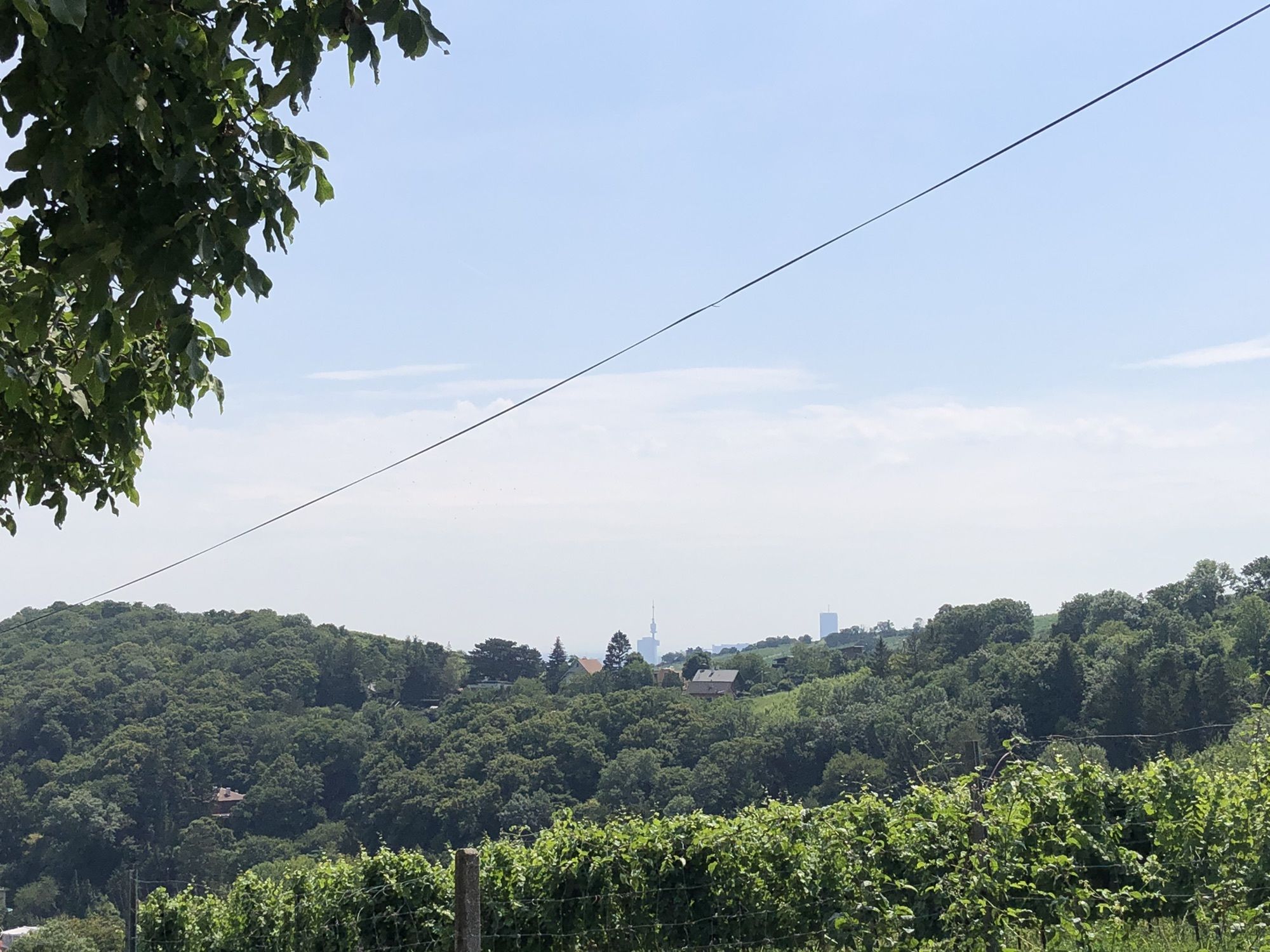
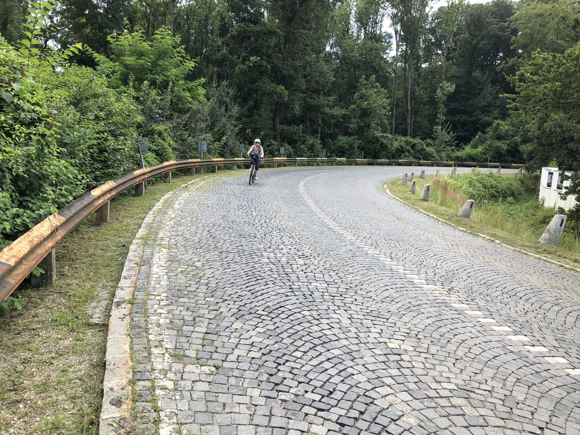
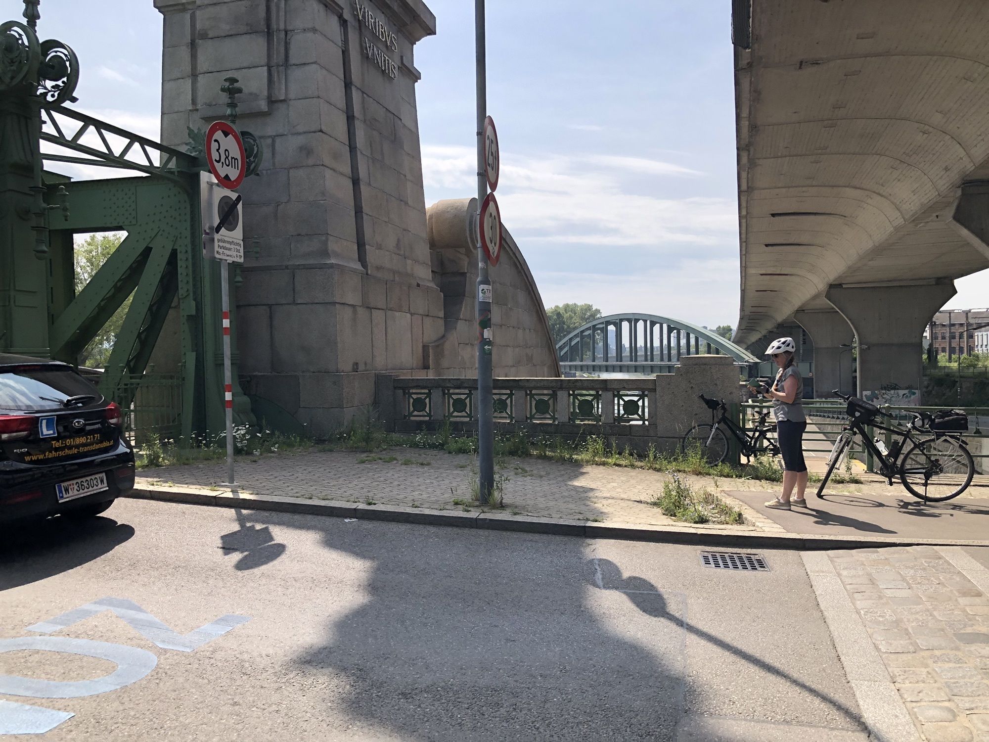
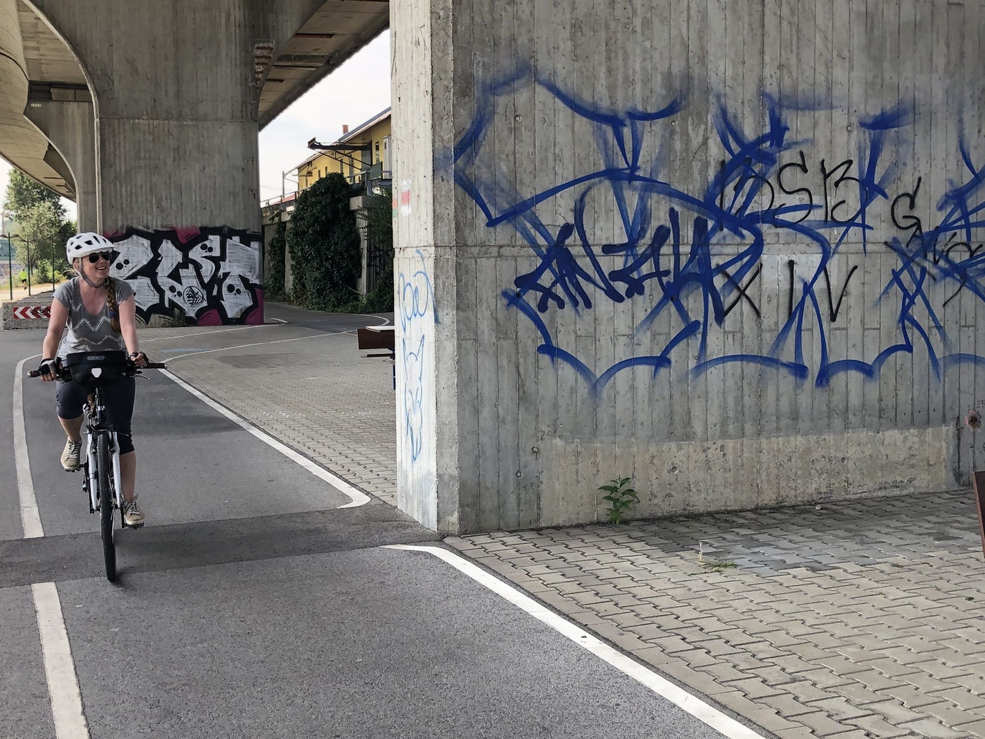
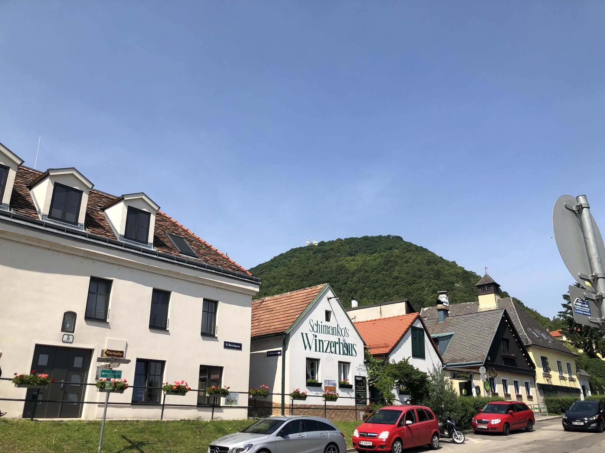
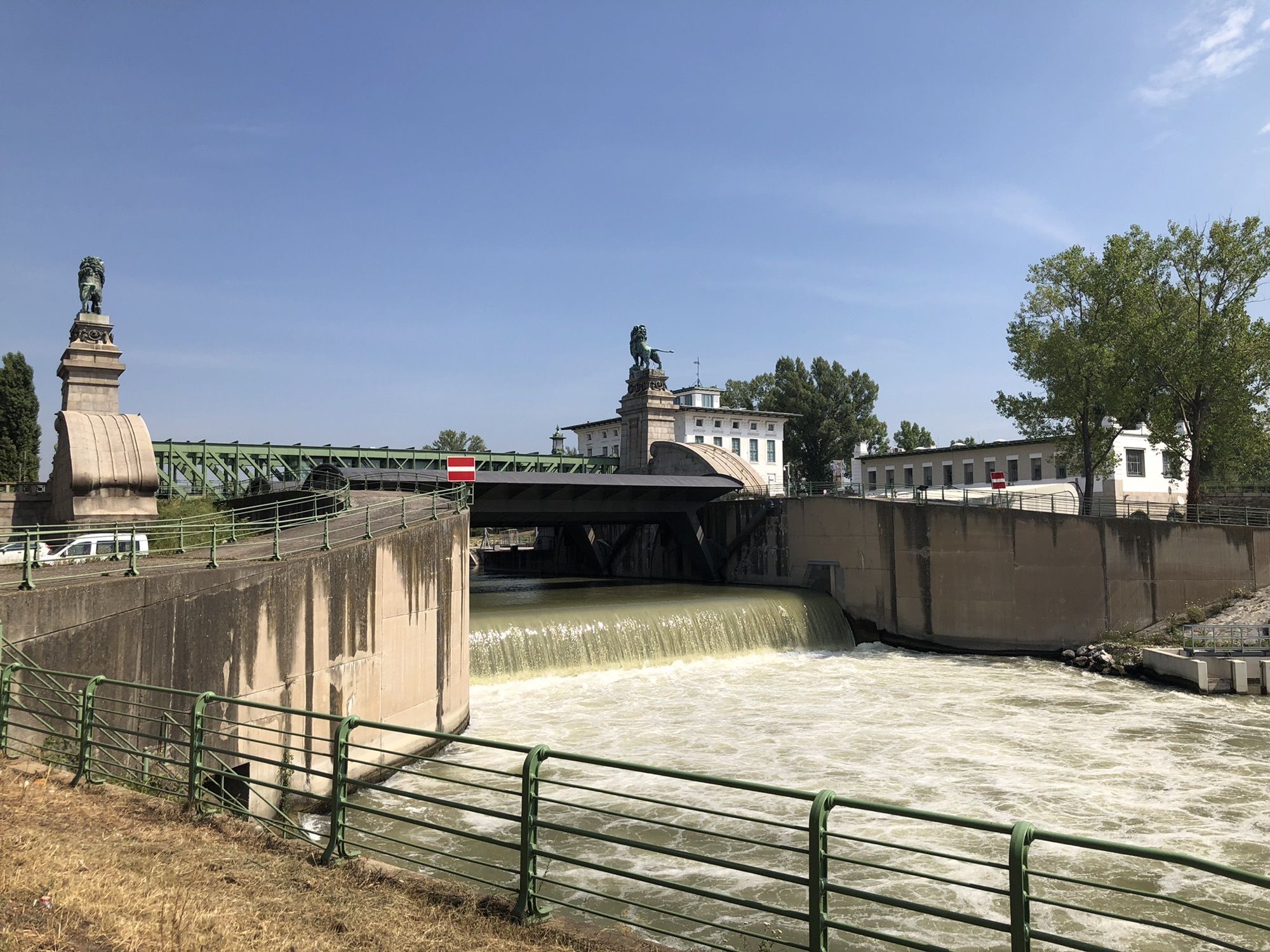
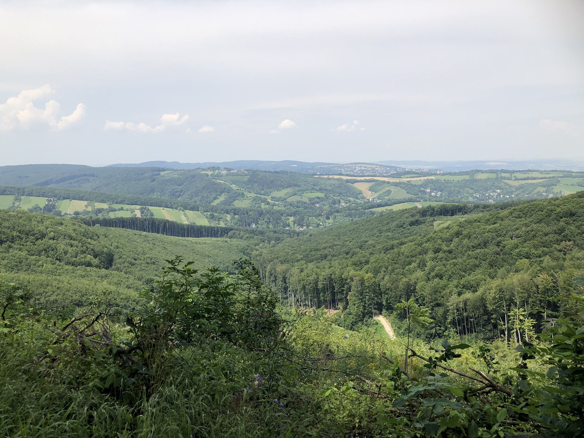
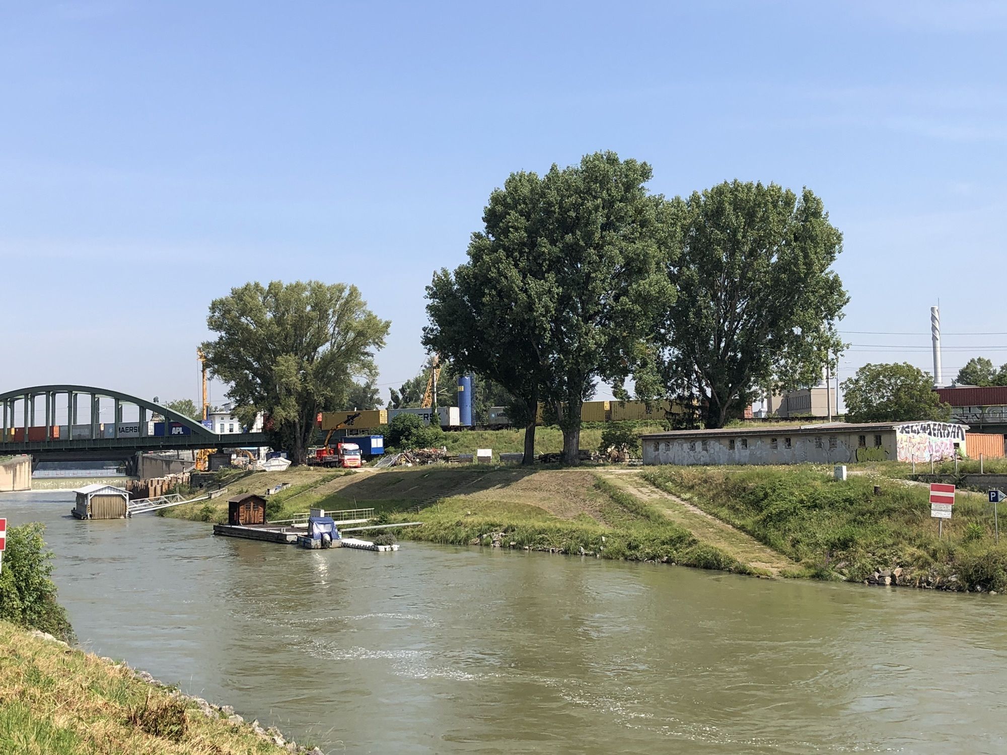
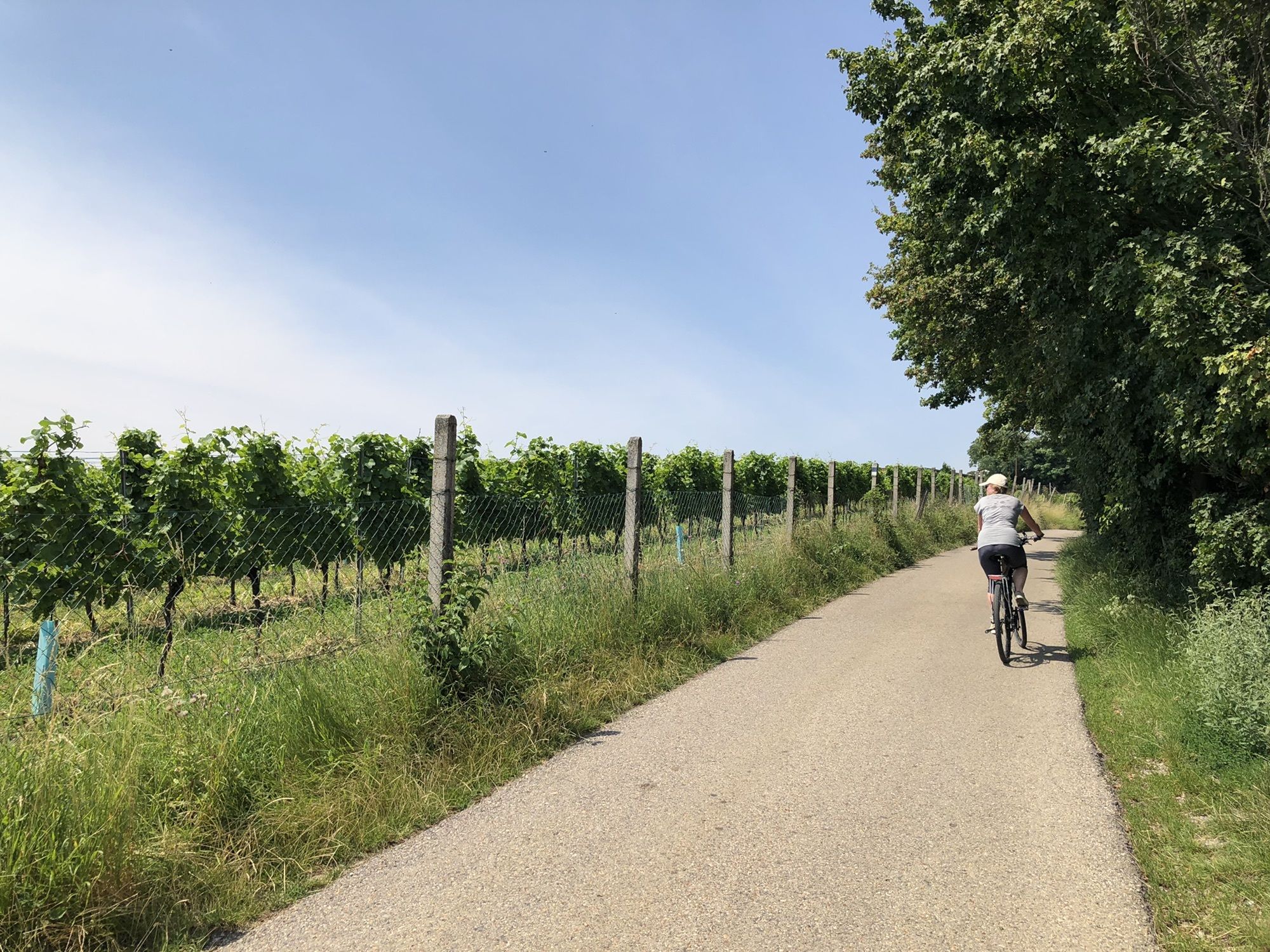
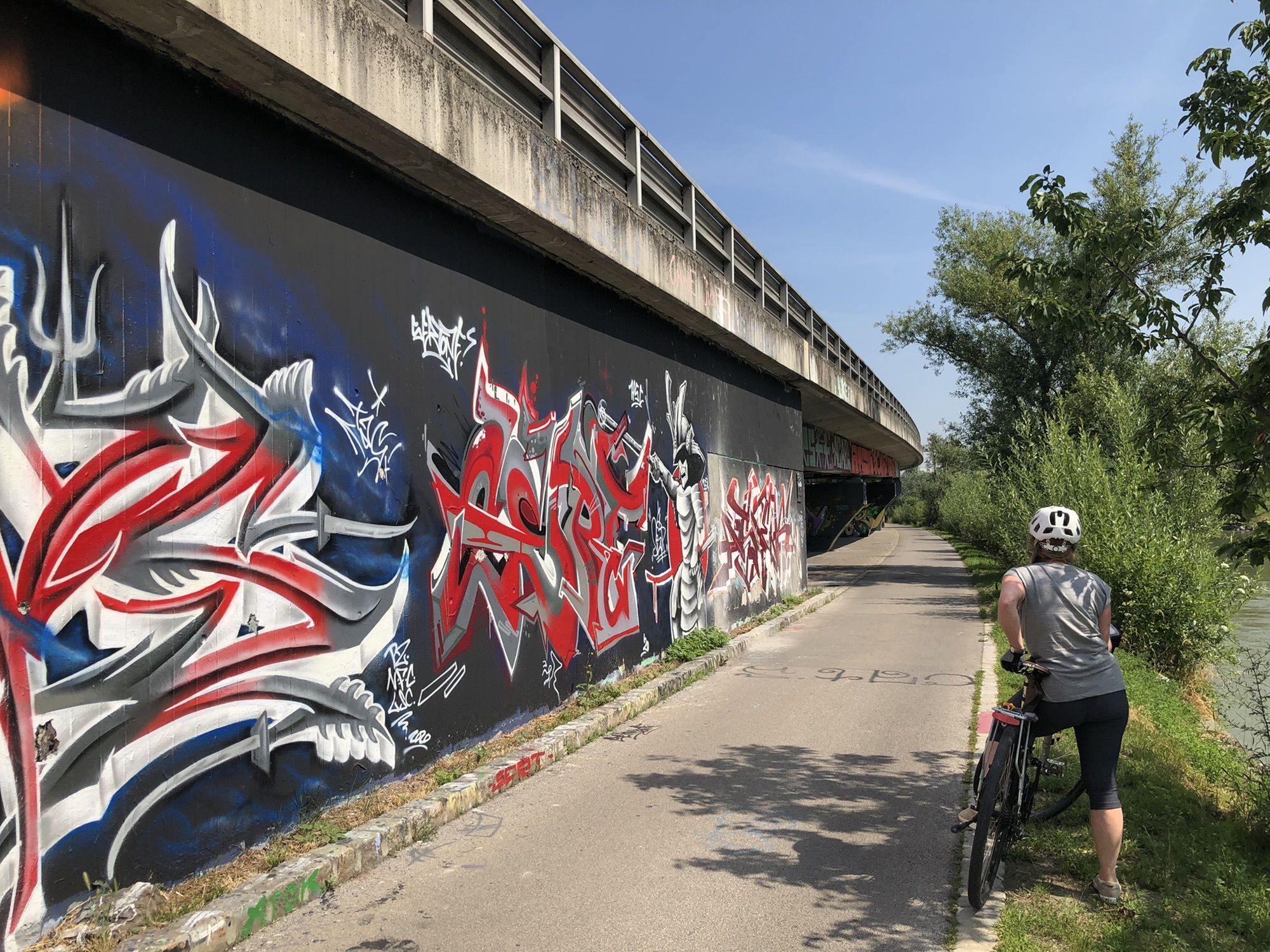
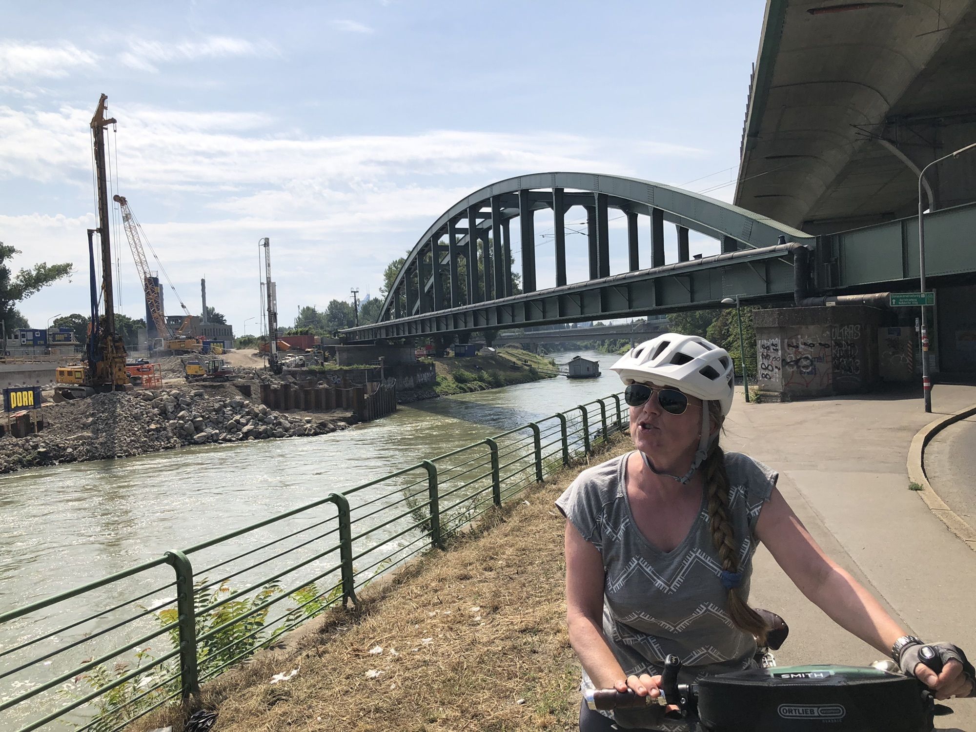
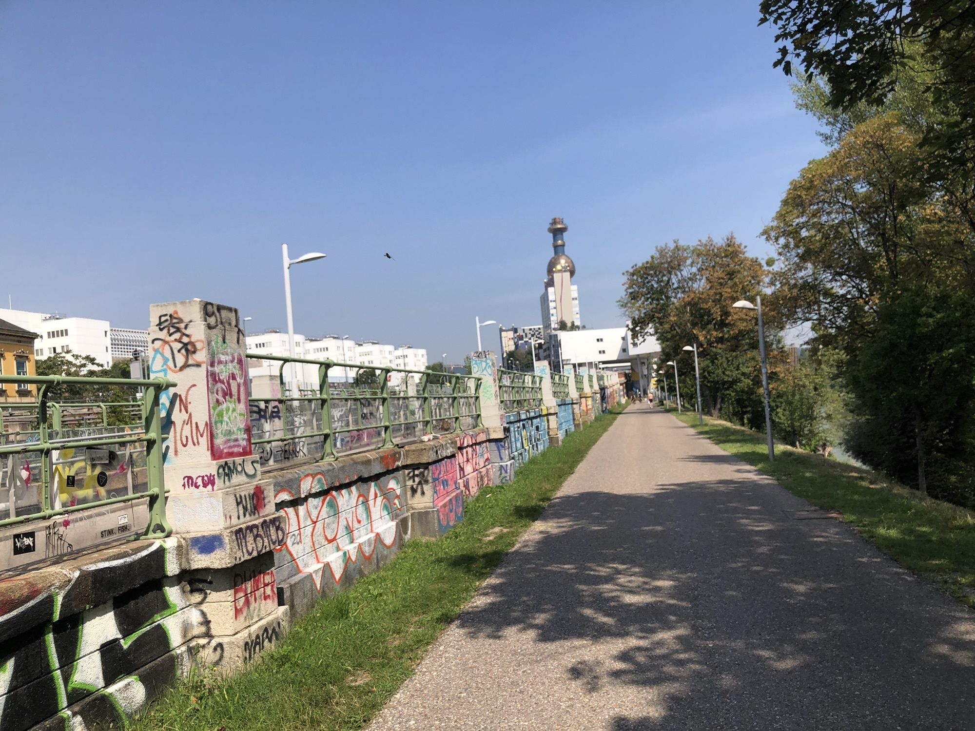
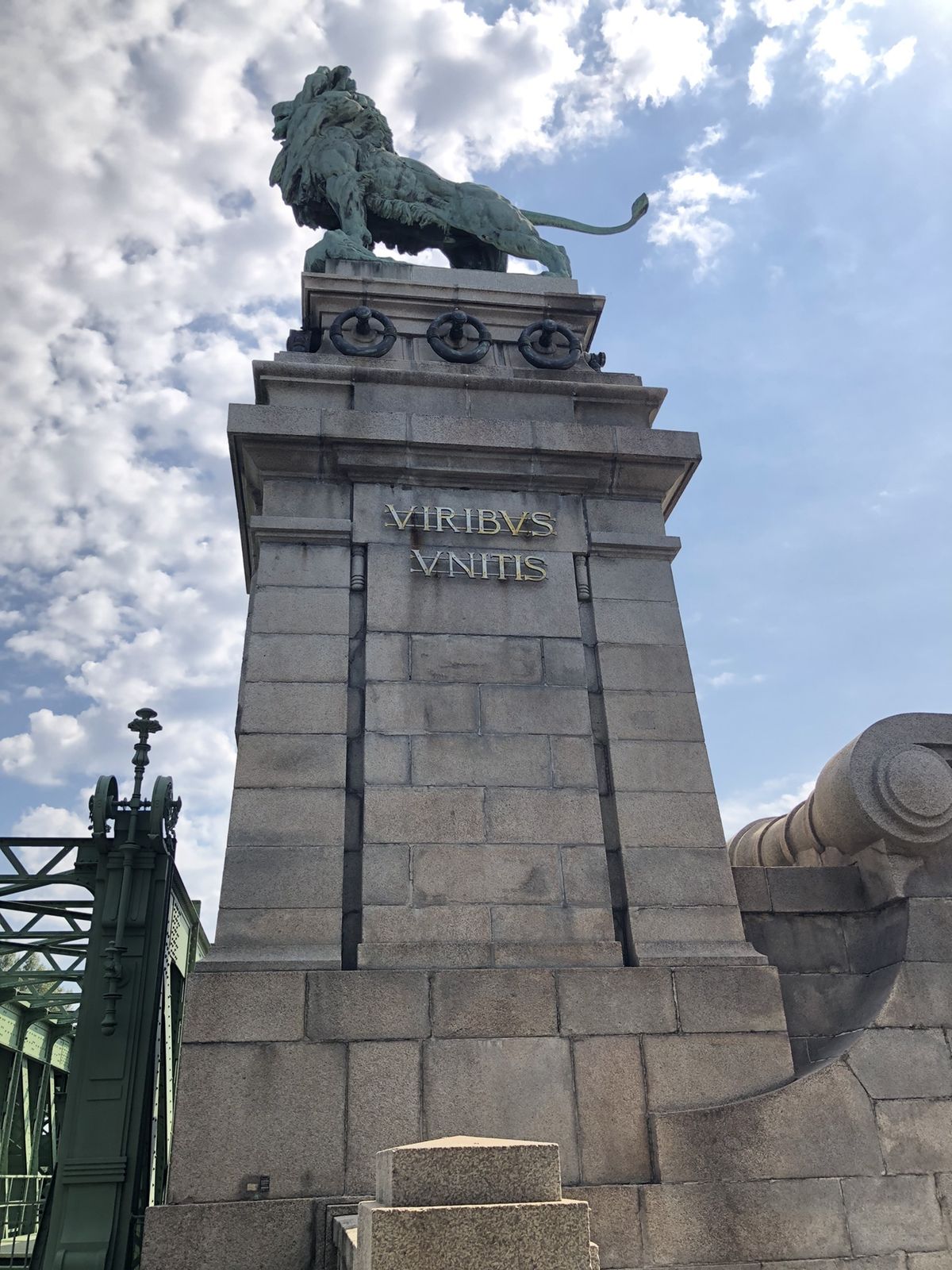
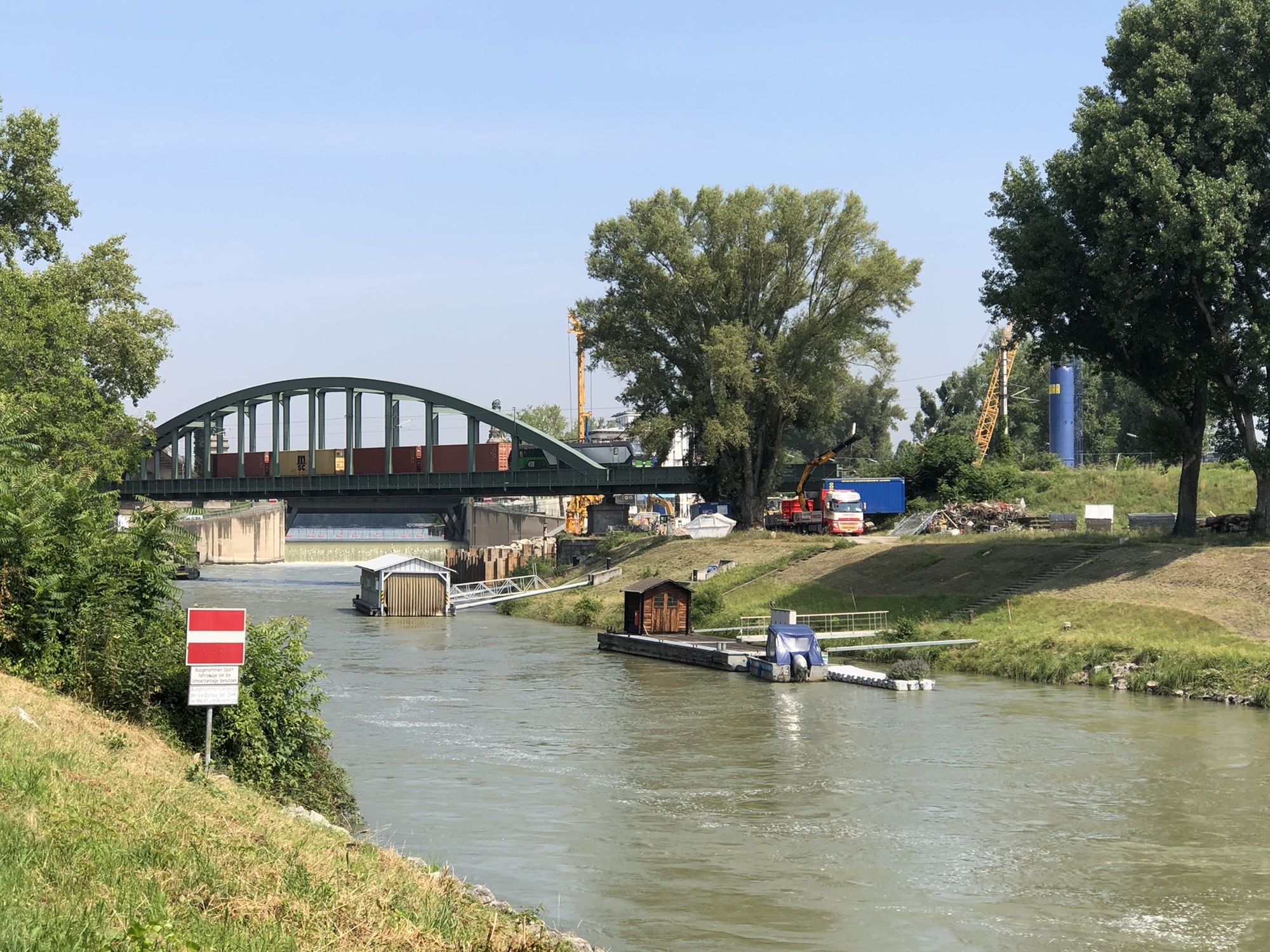
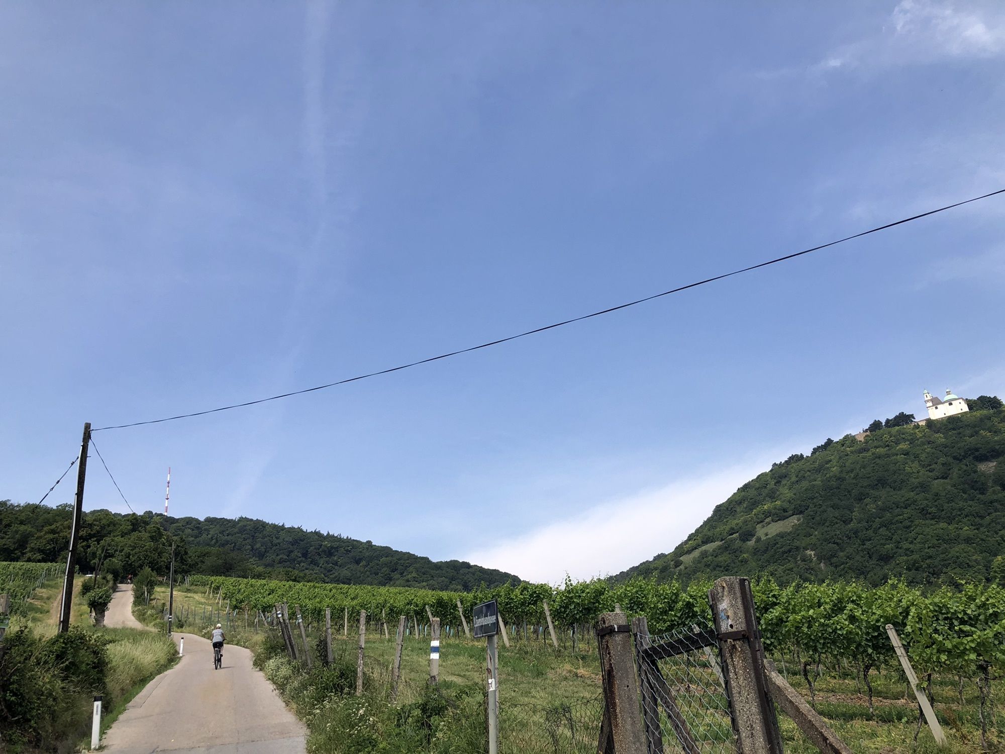
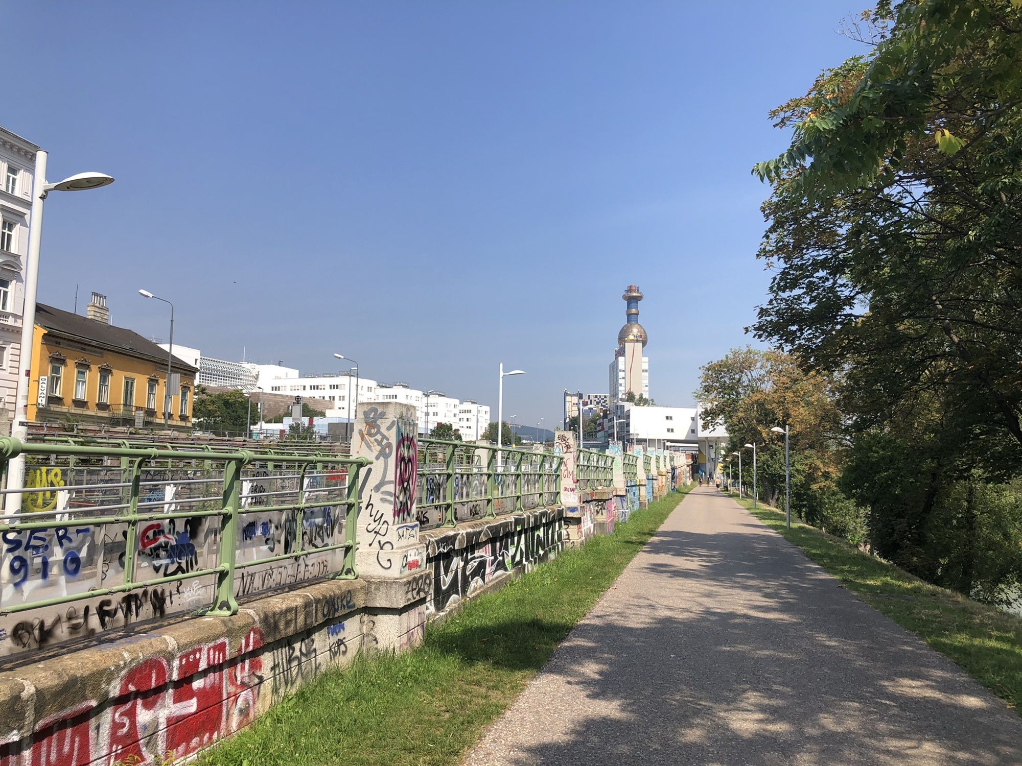
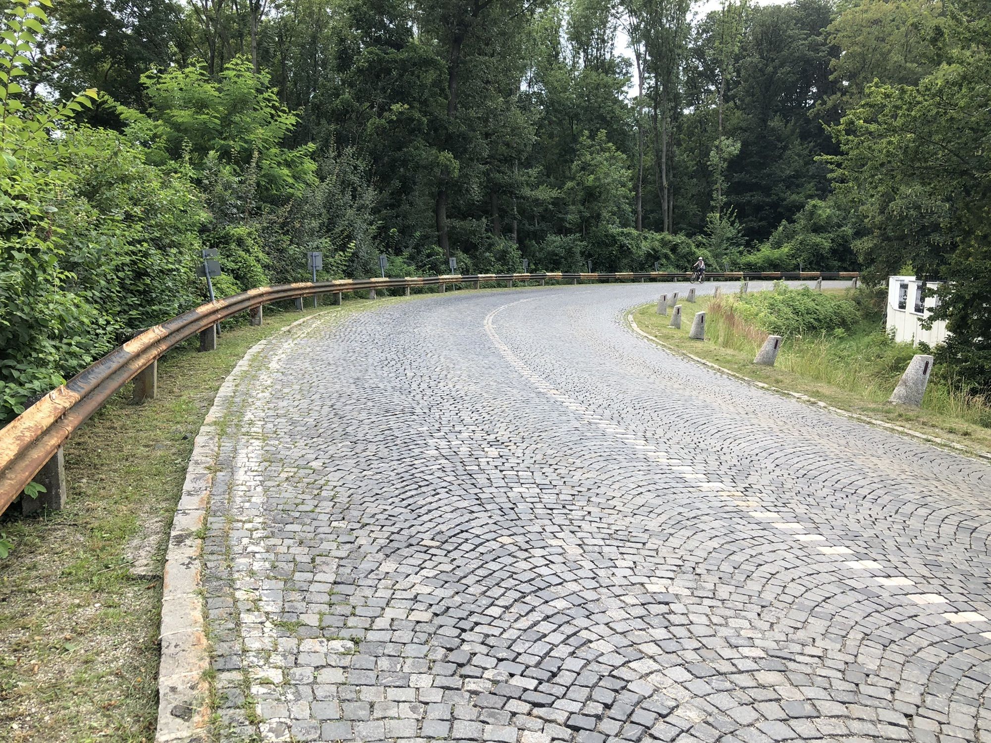
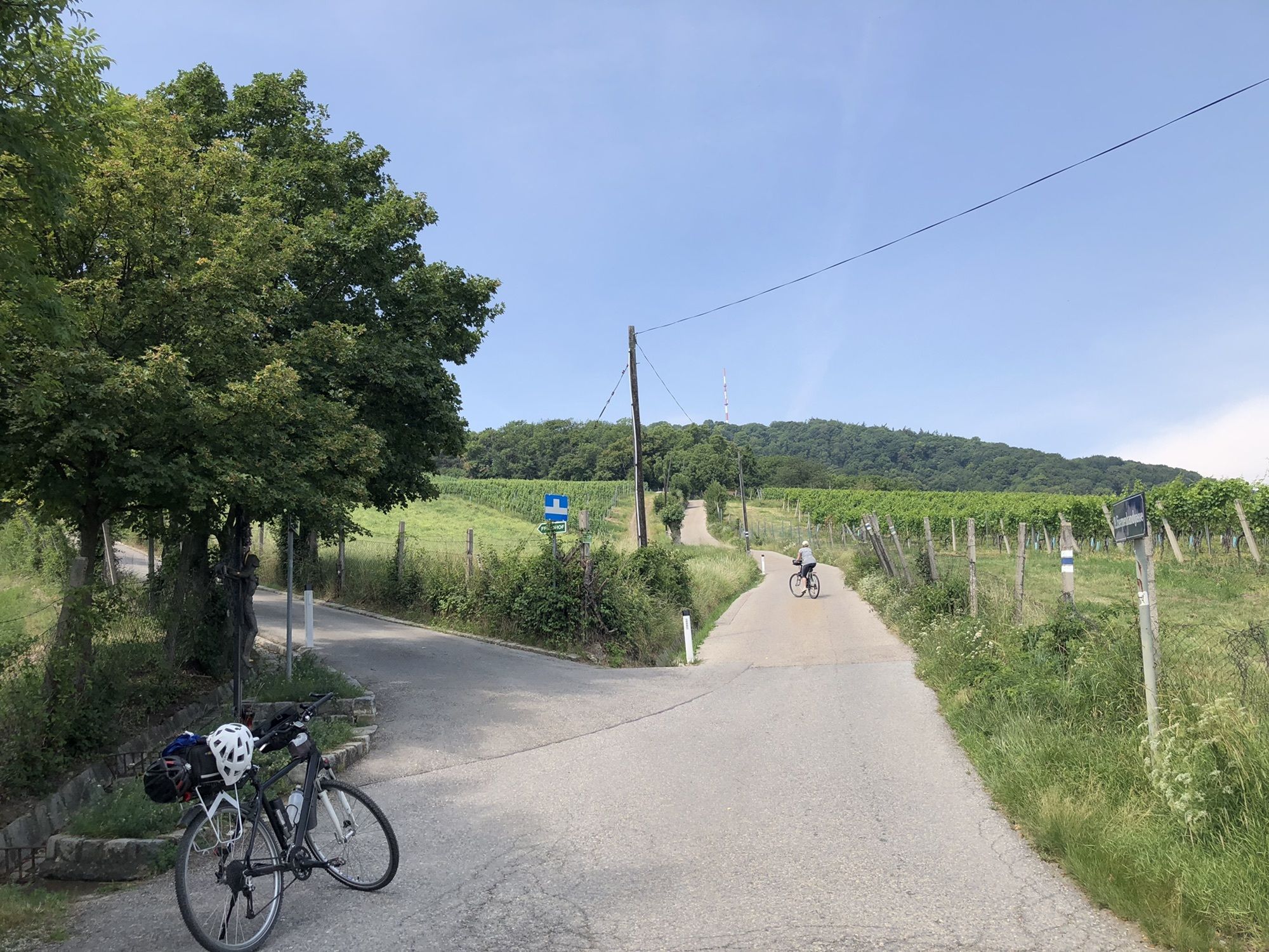
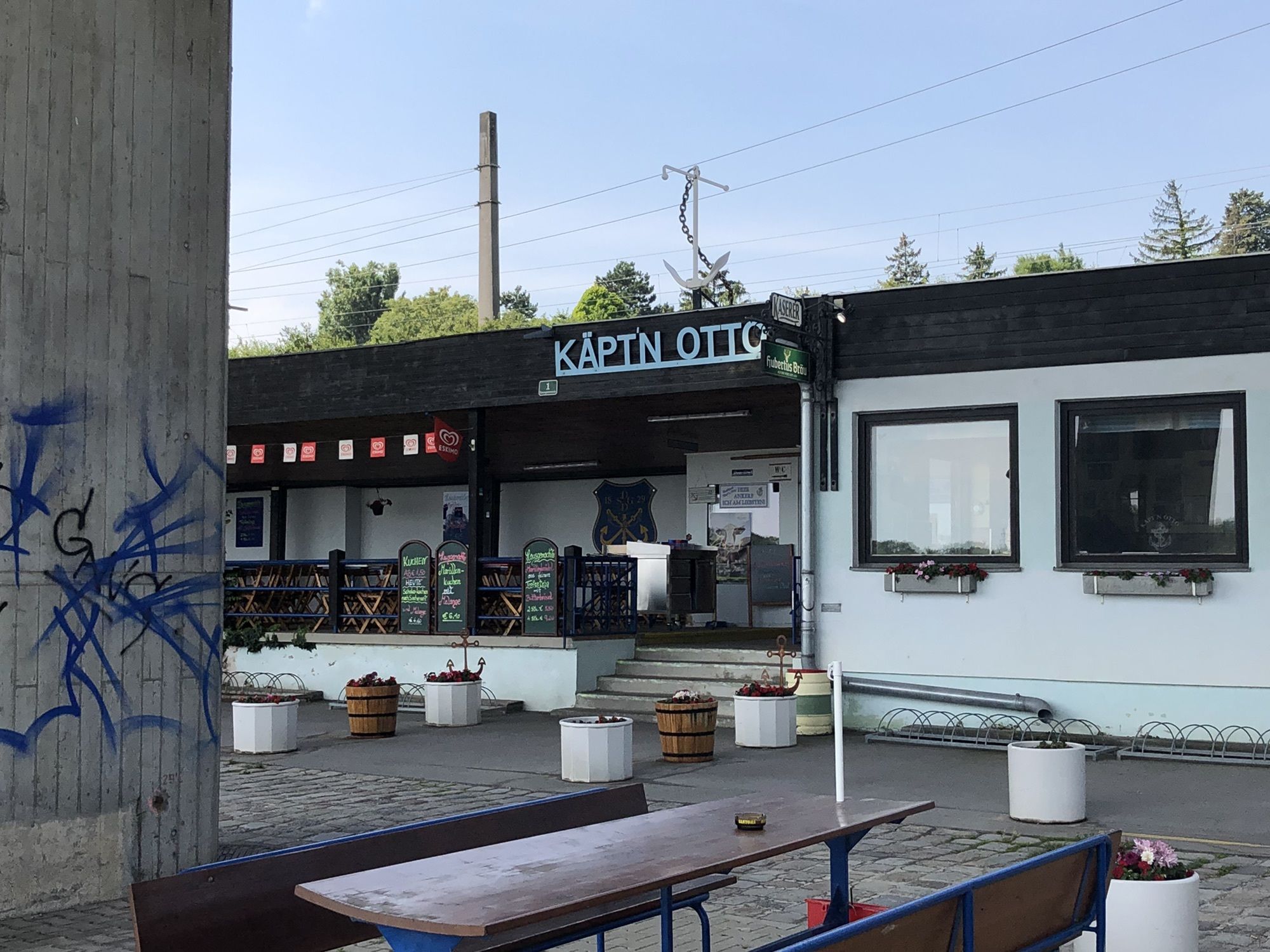
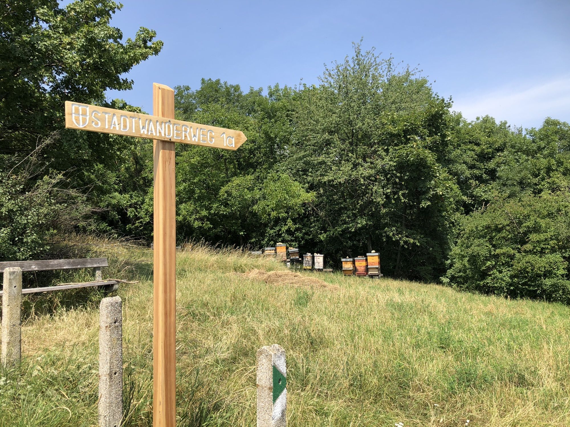
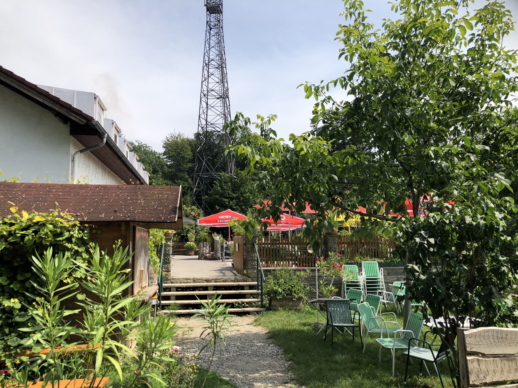
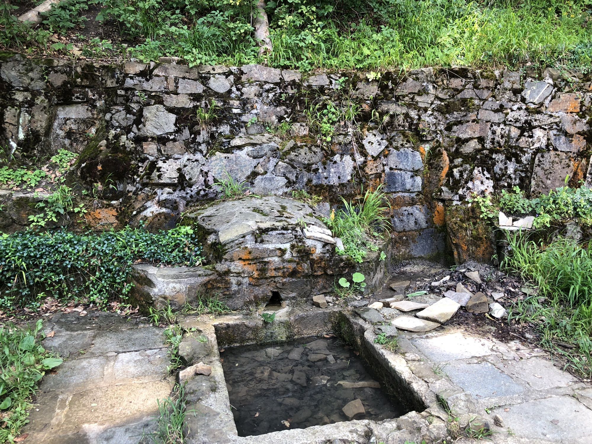
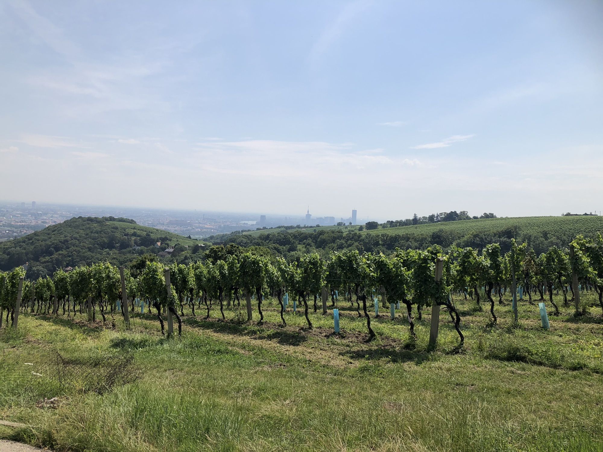
SchottenfeldMariahilf0.1 kmNeubau0.2 kmSpittelberg0.6 kmVolkstheater1.1 kmJosefstadt1.7 kmBuchfeld1.9 kmVienna (542 m)2.8 kmRossau3.7 kmRoßauer Lände3.8 kmFriedensbrücke4.6 kmAlthangrund4.7 kmNussdorf8.6 kmWien Nußdorf (164 m)8.6 kmSchiffsanlegestelle9.1 kmKahlenbergerdorf12.0 kmPfarrkirche St. Georg12.2 kmKahlenberg (484 m)15.3 kmSt. Josef15.7 kmJosefsdorf15.8 kmHandleinsberg (495 m)18.2 kmVogelsangberg (516 m)18.6 kmGasthaus zum Agnesbrünnl19.5 kmAgnesbründl19.9 kmHäuserl am Roan23.2 kmZwei Gehängte23.7 kmSchanze24.2 kmNeuwaldegg27.6 kmSt. Anna Kapelle28.6 kmDornbach29.0 kmFrauenfeld30.5 kmPfarre Herz-Jesu-Sühnekirche30.5 kmHernals32.4 kmBreitenfeld33.4 kmJosefstädter Straße33.7 kmThaliastraße34.2 kmBurggasse-Stadthalle34.7 kmPfarrkirche St. Laurenz am Schottenfeld35.4 kmSchottenfeld35.5 kmNeubau36.0 km
- Highest point
- 506 m


GPS Downloads


Other tours in the regions
-
Wienerwald
4219
-
Wien und Umgebung
2481
-
Wien - Stadt
1127