- Brief description
-
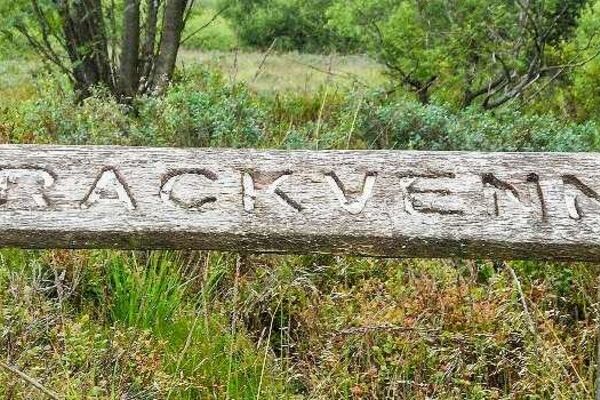
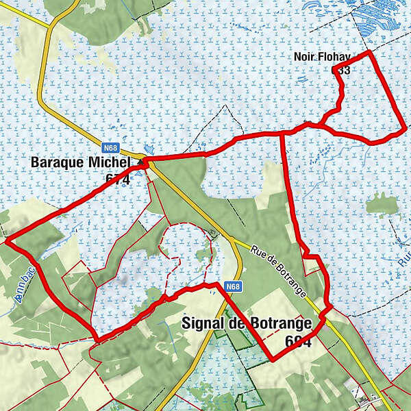
Eine abwechselungsreiche Rundwanderung über Holzstege und Moorpfade durchs Hohe Venn.
- Difficulty
-
medium
- Rating
-
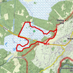
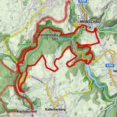
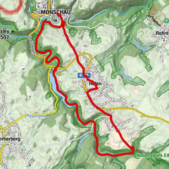
- Route
-
Fontaine Périgny0.6 kmNoir Flohay3.2 kmLe Signal de Botrange8.5 kmSignal de Botrange (694 m)8.6 kmBaltia-Hügel (700 m)8.7 kmMichelshütte (674 m)15.6 kmChapel Fischbach15.7 kmMichelshütte15.8 km
- Best season
-
JanFebMarAprMayJunJulAugSepOctNovDec
- Highest point
- 696 m
- Endpoint
-
Baraque Michel
- Height profile
-
 © outdooractive.com
- Author
-
The tour Um die Baraque Michel is used by outdooractive.com provided.
GPS Downloads


General info
Refreshment stop
Healthy climate
Flora
Fauna
A lot of view
Other tours in the regions
-
Eifel/ Rheinland-Pfalz
1056
-
Hohes Venn
601
-
Malmedy
116